Category Archives: Maps
Dalston 1913 – 40.3
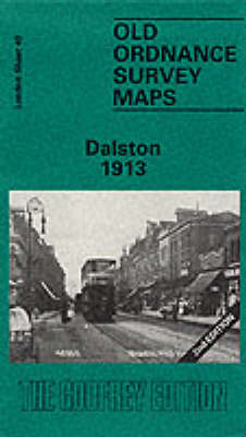
Dalston in 1913 in a fascinating series of reproductions of old Ordnance Survey plans in the Alan Godfrey Editions, ideal for anyone interested in the history of their neighbourhood or family. Three versions of this map cover the same area, stretching from Essex Road eastward to London Fields, and from Shacklewell Lane southward to De
Exeter 1904 – 80.06b
Exeter in 1904 in a fascinating series of reproductions of old Ordnance Survey plans in the Alan Godfrey Editions, ideal for anyone interested in the history of their neighbourhood or family. Two versions of this map are available, covering most of central Exeter and its eastern suburbs and stretching from Bonhay Road eastward to Cemetery
Manchester: Hulme 1844
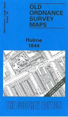
Hulme area of Manchester in 1844 in a series of exceptionally detailed reproductions of old Ordnance Survey street plans for areas of larger cities which have undergone substantial redevelopment in the late 19th or the early 20th century, published in the Alan Godfrey Editions.The plans, printed in back and white, have been taken from the
Warrington West 1905
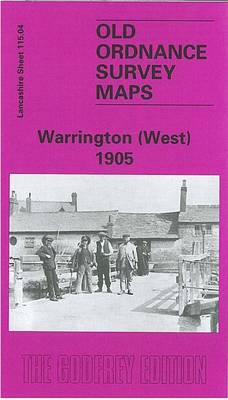
Warrington West in 1905 in a fascinating series of reproductions of old Ordnance Survey plans in the Alan Godfrey Editions, ideal for anyone interested in the history of their neighbourhood or family. The map covers the western part of Warrington, extending westward to Sankey Bridges. Features include Bank Quay station, Bank Quay Cable Works, Bank
Manchester: Hulme St Georges 1849
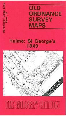
Hulme St Georges area of Manchester in 1849 in a series of exceptionally detailed reproductions of old Ordnance Survey street plans for areas of larger cities which have undergone substantial redevelopment in the late 19th or the early 20th century, published in the Alan Godfrey Editions.The plans, printed in back and white, have been taken
Cradley Heath and Old Hill 1901
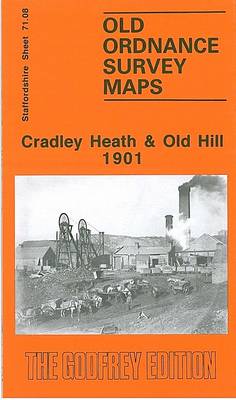
Cradley Heath and Old Hill in 1901 in a fascinating series of reproductions of old Ordnance Survey plans in the Alan Godfrey Editions, ideal for anyone interested in the history of their neighbourhood or family. The map covers Old Hill and the northern part of Cradley Heath; it also includes a portion of Worcestershire (sheet
Clapham Common 1870 – 115.1
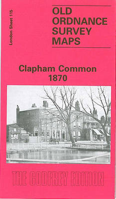
Clapham Common in 1870 in a fascinating series of reproductions of old Ordnance Survey plans in the Alan Godfrey Editions, ideal for anyone interested in the history of their neighbourhood or family. Three versions have been published for this area, stretching from Grandison Road and Wroughton Road eastward to Bedford Road and Lyham Road, and
Bolton North 1908
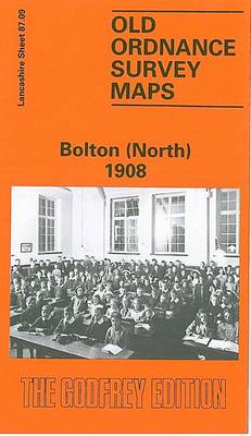
Bolton North in 1908 in a fascinating series of reproductions of old Ordnance Survey plans in the Alan Godfrey Editions, ideal for anyone interested in the history of their neighbourhood or family. The map covers the northern part of Bolton, stretching from Davenport Street northward to Astley Bridge, and from Atlas Mills eastward to Tonge
Wolverhampton (SW) 1901 – 62.10
Wolverhampton South West in 1901 in a fascinating series of reproductions of old Ordnance Survey plans in the Alan Godfrey Editions, ideal for anyone interested in the history of their neighbourhood or family. The map covers the south-western part of Wolverhampton, including much of the town centre and Merridale, Graiseley and Blakenhall Wards. Coverage extends
Norbury and Upper Norwood 1894
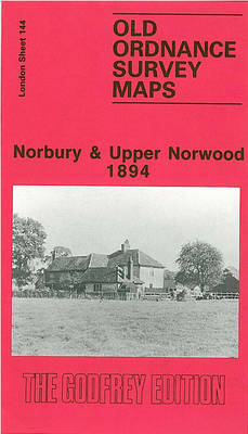
Norbury and Upper Norwood in 1894 in a fascinating series of reproductions of old Ordnance Survey plans in the Alan Godfrey Editions, ideal for anyone interested in the history of their neighbourhood or family. The map covers an area stretching from London Road and Norbury station eastward to Spa Hill at Upper Norwood, and from
Donaghadee 1901
Donaghadee in 1901 in a fascinating series of reproductions of old Ordnance Survey plans in the Alan Godfrey Editions, ideal for anyone interested in the history of their neighbourhood or family. The map is double-sided; the main map covers the northern part of the town, extending from Parade and the railway terminus northward to Foreland
Shefford 1900 – 22.12
Shefford in 1900 in a fascinating series of reproductions of old Ordnance Survey plans in the Alan Godfrey Editions, ideal for anyone interested in the history of their neighbourhood or family. The map of Shefford is double-sided for maximum coverage. The main map shows most of Shefford and part of Clifton and includes the Railway
Consett 1896

Consett in 1896 in a fascinating series of reproductions of old Ordnance Survey plans in the Alan Godfrey Editions, ideal for anyone interested in the history of their neighbourhood or family. The map covers the steel town of Consett, which developed from a hamlet of just 146 people in 1831. The Derwent Iron Company was
Stanley 1895
Stanley in 1895 in a fascinating series of reproductions of old Ordnance Survey plans in the Alan Godfrey Editions, ideal for anyone interested in the history of their neighbourhood or family. Two versions have been published for this area. The maps cover the centre and north of Stanley, including Shield Row and extending to Tanfield
Newtownards 1901
Newtownards in 1901 in a fascinating series of reproductions of old Ordnance Survey plans in the Alan Godfrey Editions, ideal for anyone interested in the history of their neighbourhood or family. The map is double-sided and covers the town centre and east of the town, extending from Frederick Street and St Mark`s church eastward to
Upper Holloway 1894 – 29.2
Upper Holloway in 1894 in a fascinating series of reproductions of old Ordnance Survey plans in the Alan Godfrey Editions, ideal for anyone interested in the history of their neighbourhood or family. Three versions cover this area, stretching from Holloway Prison eastward to Green Lanes and Highbury New Park, and from Finsbury Park station southward
Southsea 1896 – 83.12a
Southsea in 1896 in a fascinating series of reproductions of old Ordnance Survey plans in the Alan Godfrey Editions, ideal for anyone interested in the history of their neighbourhood or family. Portsmouth is covered by a block of six maps. This map is double-sided for maximum coverage. The main map covers most of Southsea with
St. Andrews 1893 – 9.10
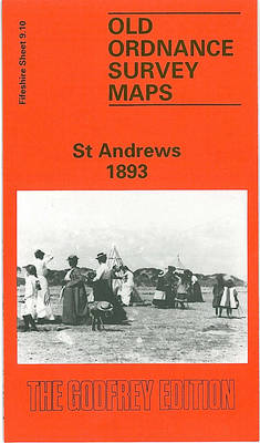
St Andrews in 1893 in a fascinating series of reproductions of old Ordnance Survey plans in the Alan Godfrey Editions, ideal for anyone interested in the history of their neighbourhood or family. The map is double-sided. Sheet 9.10 covers the town centre, stretching from City Road eastward to the shore, and from South Haugh northward
Bury North 1908
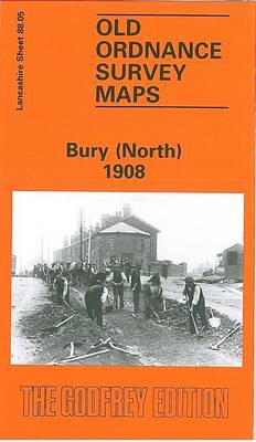
Bury North in 1908 in a fascinating series of reproductions of old Ordnance Survey plans in the Alan Godfrey Editions, ideal for anyone interested in the history of their neighbourhood or family. The map covers the northern part of Bury, stretching from Bell Lane northward to Little Wood Cross, and from Higher Woodhill eastward to
Anfield 1908 – 106.07b
Anfield in 1908 in a fascinating series of reproductions of old Ordnance Survey plans in the Alan Godfrey Editions, ideal for anyone interested in the history of their neighbourhood or family. The map covers the Anfield area on the north side of Liverpool, stretching from the Liverpool football ground eastward to Lisburn Lane, and from