Category Archives: Maps
Coventry 1905 – 21.12b
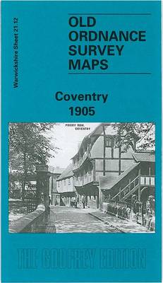
Central Coventry in 1905 in a fascinating series of reproductions of old Ordnance Survey plans in the Alan Godfrey Editions, ideal for anyone interested in the history of their neighbourhood or family. Coventry in covered on four maps:This title, COVENTRY CENTRAL 1905 map, covers the city centre, extending from Queen Victoria Road eastward to Gosford
Bescot 1901

Bescot in 1901 in a fascinating series of reproductions of old Ordnance Survey plans in the Alan Godfrey Editions, ideal for anyone interested in the history of their neighbourhood or family. The map is dominated by Bescot Junction with its sidings and engine shed, together with the junctions to the west. It also includes the
Winchester 1895 – 41.13
Winchester in 1895 in a fascinating series of reproductions of old Ordnance Survey plans in the Alan Godfrey Editions, ideal for anyone interested in the history of their neighbourhood or family. The map stretches from West Fields eastward to Winnall and St Giles Hill. Most of the city centre is included and features include the
Finsbury Park and Stroud Green 1894
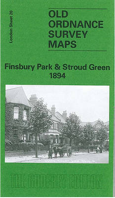
Finsbury Park and Stroud Green in 1894 in a fascinating series of reproductions of old Ordnance Survey plans in the Alan Godfrey Editions, ideal for anyone interested in the history of their neighbourhood or family. Three versions for this area have been published to present how it developed across the years. The 1870 map shows
Cannock South 1902
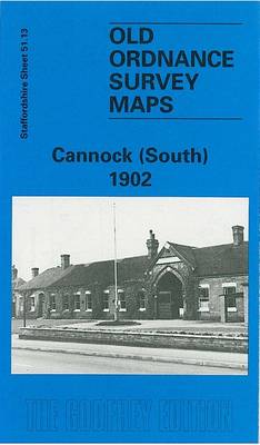
Cannock South in 1902 in a fascinating series of reproductions of old Ordnance Survey plans in the Alan Godfrey Editions, ideal for anyone interested in the history of their neighbourhood or family. The map is double-sided. The main map covers the southern part of the town, extending southward to Bridgtown. Features include LNWR Cannock Branch
Bangor West 1901
Bangor West in 1901 in a fascinating series of reproductions of old Ordnance Survey plans in the Alan Godfrey Editions, ideal for anyone interested in the history of their neighbourhood or family. The map covers the west of the town; coverage extends from Main Street westward to Carnalea House, and from St Comgall`s RC church
Barton upon Irwell 1888

Barton upon Irwell in 1888 in a fascinating series of reproductions of old Ordnance Survey plans in the Alan Godfrey Editions, ideal for anyone interested in the history of their neighbourhood or family. The map covers Barton upon Irwell, extending southward to Bromyhurst and Dumplington, westward to the cemetery and northward to Patricroft Bridge. The
Bangor East 1901
Bangor East in 1901 in a fascinating series of reproductions of old Ordnance Survey plans in the Alan Godfrey Editions, ideal for anyone interested in the history of their neighbourhood or family. The map is covers the east of the town; coverage extends from Crosby Street and St Comgall`s church eastward to Ballyholme and northward
Worcester North-East 1902
Worcester North-East in 1902 in a fascinating series of reproductions of old Ordnance Survey plans in the Alan Godfrey Editions, ideal for anyone interested in the history of their neighbourhood or family. Worcester is covered by four maps. This title covers the north-eastern quarter of the city, stretching from Foregate Street eastward to Elbury Hill,
Blackhill and Shotley Bridge 1895
Blackhill and Shotley Bridge in 1895 in a fascinating series of reproductions of old Ordnance Survey plans in the Alan Godfrey Editions, ideal for anyone interested in the history of their neighbourhood or family. The map is double-sided. The main map covers Blackhill, stretching from Cutlers Hall Road and Bridge Hill eastward to Medomsley Road;
Worcester North-West 1902
Worcester North West in 1902 in a fascinating series of reproductions of old Ordnance Survey plans in the Alan Godfrey Editions, ideal for anyone interested in the history of their neighbourhood or family. Worcester is covered by four maps. This title covers the north-western quarter of Worcester, stretching from The Tything westward to Dines Green,
Southport (North) 1909 – 75.06b
Southport North in 1909 in a fascinating series of reproductions of old Ordnance Survey plans in the Alan Godfrey Editions, ideal for anyone interested in the history of their neighbourhood or family. The map covers the northern part of Southport, extending from Hesketh Park northward to Lytham Road, and from Lathom Road eastward to Manor
The West End 1894 – 61.2
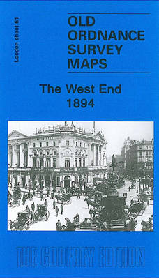
The West End in 1894 in a fascinating series of reproductions of old Ordnance Survey plans in the Alan Godfrey Editions, ideal for anyone interested in the history of their neighbourhood or family. Three versions cover the same area of central London, stretching from Marble Arch eastward to Charing Cross Road, from Devonshire Street and
Highgate 1894 – 19.2

Highgate in 1894 in a fascinating series of reproductions of old Ordnance Survey plans in the Alan Godfrey Editions, ideal for anyone interested in the history of their neighbourhood or family. Three versions have been published for this area, stretching from Fitzroy Park eastward to Hazellville Road and from Shepherds Hill Road southward to Highgate
Birkdale 1909 – 75.13
Birkdale in 1909 in a fascinating series of reproductions of old Ordnance Survey plans in the Alan Godfrey Editions, ideal for anyone interested in the history of their neighbourhood or family. The map covers the southern part of Southport, and Birkdale. Coverage extends from Stanley Avenue northward to Westcliffe Road, and from Warwick Street westward
Meanwood and Far Headingley 1906
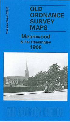
Meanwood and Far Headingley in 1906 in a fascinating series of reproductions of old Ordnance Survey plans in the Alan Godfrey Editions, ideal for anyone interested in the history of their neighbourhood or family. The map covers the Meanwood area on the north side of Leeds. The northern part of Headingley, around St Chad`s church,
Shefford 1900 – 22.12
Shefford in 1900 in a fascinating series of reproductions of old Ordnance Survey plans in the Alan Godfrey Editions, ideal for anyone interested in the history of their neighbourhood or family. The map of Shefford is double-sided for maximum coverage. The main map shows most of Shefford and part of Clifton and includes the Railway
Consett 1896
Consett in 1896 in a fascinating series of reproductions of old Ordnance Survey plans in the Alan Godfrey Editions, ideal for anyone interested in the history of their neighbourhood or family. The map covers the steel town of Consett, which developed from a hamlet of just 146 people in 1831. The Derwent Iron Company was
Stanley 1895
Stanley in 1895 in a fascinating series of reproductions of old Ordnance Survey plans in the Alan Godfrey Editions, ideal for anyone interested in the history of their neighbourhood or family. Two versions have been published for this area. The maps cover the centre and north of Stanley, including Shield Row and extending to Tanfield
Newtownards 1901
Newtownards in 1901 in a fascinating series of reproductions of old Ordnance Survey plans in the Alan Godfrey Editions, ideal for anyone interested in the history of their neighbourhood or family. The map is double-sided and covers the town centre and east of the town, extending from Frederick Street and St Mark`s church eastward to