Category Archives: Maps
Clapham Park & Balham 1913 – 125.3
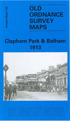
Clapham Park and Balham in 1913 in a fascinating series of reproductions of old Ordnance Survey plans in the Alan Godfrey Editions, ideal for anyone interested in the history of their neighbourhood or family. Three versions have been published for this area, stretching from Mayford Road and Wontner Road eastward to Montrell Road and Killieser
Holy Island & District 1863 – 4
Holy Island and District in 1863 in a series of reproductions of Ordnance Survey’s famous “Inch to the Mile” maps published in the Alan Godfrey Editions to provide a historical record of England and Wales in the second half of 19th and early 20th century.Two versions are available for this area, stretching from Holy Island
West Twickenham & Strawberry Hill 1894 – 121a
West Twickenham and Strawberry Hill in 1894 in a fascinating series of reproductions of old Ordnance Survey plans in the Alan Godfrey Editions, ideal for anyone interested in the history of their neighbourhood or family. The map covers the western part of Twickenham, an area stretching from Hospital Bridge Road eastward to Strawberry Hill, and
North Chilterns 1888
North Chilterns in 1888 in a series of reproductions of Ordnance Survey’s famous “Inch to the Mile” maps published in the Alan Godfrey Editions to provide a historical record of England and Wales in the second half of 19th and early 20th century.Coverage stretches from Aylesbury eastward to Redbourn and Luton Hoo, and from Whipsnade
Bradford North 1906
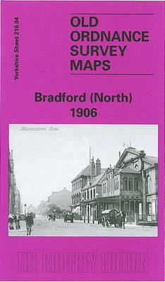
Bradford North in 1906 in a fascinating series of reproductions of old Ordnance Survey plans in the Alan Godfrey Editions, ideal for anyone interested in the history of their neighbourhood or family. The map covers the northern part of central Bradford, including the eastern part of Manningham. Coverage stretches from Salt Street eastward to Undercliffe
Lyme Regis 1903
Lyme Regis in 1903 in a fascinating series of reproductions of old Ordnance Survey plans in the Alan Godfrey Editions, ideal for anyone interested in the history of their neighbourhood or family. Coverage extends west across the county boundary at Devonshire Head to Furze Close and Ware House. The map includes the harbour and famous
Worcester South-West 1902
Worcester South-West in 1902 in a fascinating series of reproductions of old Ordnance Survey plans in the Alan Godfrey Editions, ideal for anyone interested in the history of their neighbourhood or family. Worcester is covered by four maps. This title covers the south-western quarter, stretching from St Andrew`s church westward to Laughern Brook, and from
Chelsea 1913 – 87.3
Chelsea in 1913 in a fascinating series of reproductions of old Ordnance Survey plans in the Alan Godfrey Editions, ideal for anyone interested in the history of their neighbourhood or family. Three versions have been published for this area, stretching from Stamford Bridge football ground eastward to Sloane Avenue and Royal Avenue; and from Harrington
Worcester South-East 1902
Worcester South-East in 1902 in a fascinating series of reproductions of old Ordnance Survey plans in the Alan Godfrey Editions, ideal for anyone interested in the history of their neighbourhood or family. Worcester is covered by four maps; this title shows the south-eastern quarter of of the city, stretching from High Street eastward to Nunnery
Westminster & Victoria 1894 – 75.2
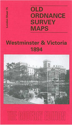
Westminster and Victoria in 1894 in a fascinating series of reproductions of old Ordnance Survey plans in the Alan Godfrey Editions, ideal for anyone interested in the history of their neighbourhood or family. Three versions cover this area, stretching from Cadogan Square eastward to Westminster Abbey, and from St James`s Square southward to Victoria station.
Kensington 1914 – 74.3
Kensington in 1914 in a fascinating series of reproductions of old Ordnance Survey plans in the Alan Godfrey Editions, ideal for anyone interested in the history of their neighbourhood or family. Three versions cover the same area, stretching from Hornton Street to Cadogan Square, from Kensington Palace southward to Harrington Road. The Royal Albert Hall
Kidderminster 1921
Kiddermister 1921 in a fascinating series of reproductions of old Ordnance Survey plans in the Alan Godfrey Editions, ideal for anyone interested in the history of their neighbourhood or family. The map covers most of Kidderminster, stretching from Proud Cross and Sutton Road eastward to Chaddesley Road, and from Imperial Avenue southward to Holman Street.
Peebles 1906 – 13.06
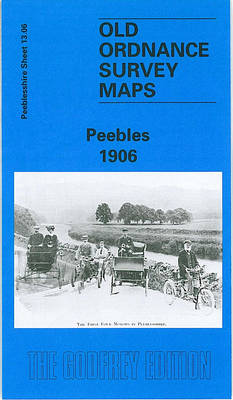
Peebles in 1906 in a fascinating series of reproductions of old Ordnance Survey plans in the Alan Godfrey Editions, ideal for anyone interested in the history of their neighbourhood or family. Features include the town centre, Caledonian Railway with station, engine sheds, North British Railway station, track layout, Tweedside Mills, Victoria Park, Kingsmeadows, Peebles Hydropathic,
North Hammersmith & Bedford Park 1893 – 72.2
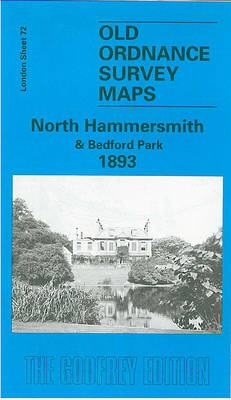
North Hammersmith and Bedford Park in 1893 in a fascinating series of reproductions of old Ordnance Survey plans in the Alan Godfrey Editions, ideal for anyone interested in the history of their neighbourhood or family. Four versions of this map have been published, with coverage extending from Acton Lane and Beaconsfield Road eastward to Devonport
Glasgow East End 1893

Glasgow East End in 1893 in a fascinating series of reproductions of old Ordnance Survey plans in the Alan Godfrey Editions, ideal for anyone interested in the history of their neighbourhood or family. The map covers the eastern part of Glasgow, stretching from Gallowgate and East Nelson Street eastward to Carntyne station, and northward to
Dulwich Village 1894
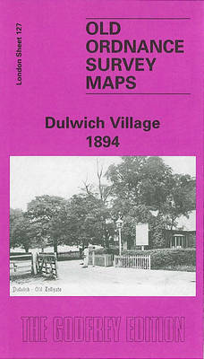
Dulwich Village in 1894 in a fascinating series of reproductions of old Ordnance Survey plans in the Alan Godfrey Editions, ideal for anyone interested in the history of their neighbourhood or family. Three versions for this area have been published, stretching from Gallery Road eastward to Honor Oak Road, and from Camberwell Cemetery southward to
Bangor West 1901
Bangor West in 1901 in a fascinating series of reproductions of old Ordnance Survey plans in the Alan Godfrey Editions, ideal for anyone interested in the history of their neighbourhood or family. The map covers the west of the town; coverage extends from Main Street westward to Carnalea House, and from St Comgall`s RC church
Barton upon Irwell 1888
Barton upon Irwell in 1888 in a fascinating series of reproductions of old Ordnance Survey plans in the Alan Godfrey Editions, ideal for anyone interested in the history of their neighbourhood or family. The map covers Barton upon Irwell, extending southward to Bromyhurst and Dumplington, westward to the cemetery and northward to Patricroft Bridge. The
Bangor East 1901
Bangor East in 1901 in a fascinating series of reproductions of old Ordnance Survey plans in the Alan Godfrey Editions, ideal for anyone interested in the history of their neighbourhood or family. The map is covers the east of the town; coverage extends from Crosby Street and St Comgall`s church eastward to Ballyholme and northward
Worcester North-East 1902
Worcester North-East in 1902 in a fascinating series of reproductions of old Ordnance Survey plans in the Alan Godfrey Editions, ideal for anyone interested in the history of their neighbourhood or family. Worcester is covered by four maps. This title covers the north-eastern quarter of the city, stretching from Foregate Street eastward to Elbury Hill,