Category Archives: Maps
Bristol (NE) 1902 – 72.13a

Bristol North-East in 1902 in a fascinating series of reproductions of old Ordnance Survey plans in the Alan Godfrey Editions, ideal for anyone interested in the history of their neighbourhood or family. The map covers a major part of Bristol including the Easton area to the north-east. Coverage stretches from Castle Street eastward to Lyppiatt
Flodden Field & North Cheviots 1901 – 3
Flodden Field and North Cheviots in 1901 in a series of reproductions of Ordnance Survey’s famous “Inch to the Mile” maps published in the Alan Godfrey Editions to provide a historical record of England and Wales in the second half of 19th and early 20th century.This title, originally called by the Ordnance Survey `Ford`, covers
Crystal Palace, Anerley and Upper Norwood 1894 – 145
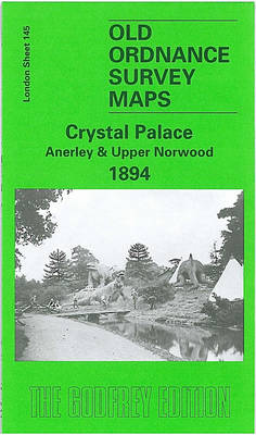
Crystal Palace, Anerley and Upper Norwood 1894 in a fascinating series of reproductions of old Ordnance Survey plans in the Alan Godfrey Editions, ideal for anyone interested in the history of their neighbourhood or family. Two versions have been published to show how the area developed across the years – the two maps are from
Sacriston 1897
Sacriston in 1897 in a fascinating series of reproductions of old Ordnance Survey plans in the Alan Godfrey Editions, ideal for anyone interested in the history of their neighbourhood or family.The map is double-sided. The main map covers an area from the village centre and Front Street eastward to Nettlesworth and Kimblesworth. Features include Sacriston
Hall Green 1903
Hall Green in 1903 in a fascinating series of reproductions of old Ordnance Survey plans in the Alan Godfrey Editions, ideal for anyone interested in the history of their neighbourhood or family. The map covers the area of south Birmingham which would soon be known as Hall Green, although development had scarcely begun. In 1903
Upper Sydenham 1894 – 137.2
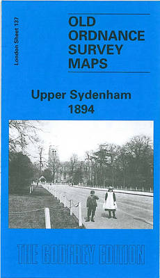
Upper Sydenham in 1894 in a fascinating series of reproductions of old Ordnance Survey plans in the Alan Godfrey Editions, ideal for anyone interested in the history of their neighbourhood or family. Two versions cover this area, extending from Clive Road eastward to Kirkdale, and from Crescent Wood Road southward to Crystal Palace High Level
Lanchester 1895
Lanchester in 1895 in a fascinating series of reproductions of old Ordnance Survey plans in the Alan Godfrey Editions, ideal for anyone interested in the history of their neighbourhood or family. The map is double-sided. The main map covers the village centre and extends eastward about a mile into countryside and High Burnhopeside Plantation. Features
South Chilterns 1886
South Chilterns in 1886 in a series of reproductions of Ordnance Survey’s famous “Inch to the Mile” maps published in the Alan Godfrey Editions to provide a historical record of England and Wales in the second half of 19th and early 20th century.In this title coverage stretches from Hurley and West Wycombe eastward to Ruislip,
Durham City South 1897
Durham City South in 1897 in a fascinating series of reproductions of old Ordnance Survey plans in the Alan Godfrey Editions, ideal for anyone interested in the history of their neighbourhood or family. The map covers Durham and the southern suburbs of the city. The area was still largely rural in 1897 with a scattering
Shincliffe 1895
Shincliffe in 1895 in a fascinating series of reproductions of old Ordnance Survey plans in the Alan Godfrey Editions, ideal for anyone interested in the history of their neighbourhood or family. The map is double-sided. The main map covers the area from the River Wear eastward to Whitwell Grange and Sherburn Hospital (top right corner),
Partick 1894 – 6.05
Partick area of Glasgow in 1894 in a fascinating series of reproductions of old Ordnance Survey plans in the Alan Godfrey Editions, ideal for anyone interested in the history of their neighbourhood or family. Coverage stretches from Bures Road and Saltoun Street westward to Balshagray Avenue, and from Westbourne Gardens southward to Yorkhill station. Features
East Finchley & Hampstead Garden Suburb 1894-1911 – 10.3
East Finchley and Hampstead Garden Suburb in 1894-1911 in a fascinating series of reproductions of old Ordnance Survey plans in the Alan Godfrey Editions, ideal for anyone interested in the history of their neighbourhood or family. Two versions covering this area have been published. East Finchley (formerly a hamlet called East End) is on the
Birmingham North 1913
Birmingham North in 1913 in a fascinating series of reproductions of old Ordnance Survey plans in the Alan Godfrey Editions, ideal for anyone interested in the history of their neighbourhood or family. The map covers a very busy area of north Birmingham, stretching from Barr Street and Great Hampton Street eastward to Bloomsbury Street, and
Hamilton 1896
Hamilton in 1896 in a fascinating series of reproductions of old Ordnance Survey plans in the Alan Godfrey Editions, ideal for anyone interested in the history of their neighbourhood or family. The map covers the heart of Hamilton, with the Town Hall and Central station near its centre. Coverage stretches from Hamilton West station eastward
Dundonald 1902
Dundonald in 1902 in a fascinating series of reproductions of old Ordnance Survey plans in the Alan Godfrey Editions, ideal for anyone interested in the history of their neighbourhood or family. The map is double-sided and covers the village of Dundonald, east of Belfast. The main map covers most of the village and features include
Washington 1896
Washington in 1896 in a fascinating series of reproductions of old Ordnance Survey plans in the Alan Godfrey Editions, ideal for anyone interested in the history of their neighbourhood or family. The map is double-sided. The main map covers the area west of the village, a semi-rural landscape which includes Old Washington, the Washington Wagonway,
West Twickenham & Strawberry Hill 1894 – 121a
West Twickenham and Strawberry Hill in 1894 in a fascinating series of reproductions of old Ordnance Survey plans in the Alan Godfrey Editions, ideal for anyone interested in the history of their neighbourhood or family. The map covers the western part of Twickenham, an area stretching from Hospital Bridge Road eastward to Strawberry Hill, and
North Chilterns 1888
North Chilterns in 1888 in a series of reproductions of Ordnance Survey’s famous “Inch to the Mile” maps published in the Alan Godfrey Editions to provide a historical record of England and Wales in the second half of 19th and early 20th century.Coverage stretches from Aylesbury eastward to Redbourn and Luton Hoo, and from Whipsnade
Bradford North 1906
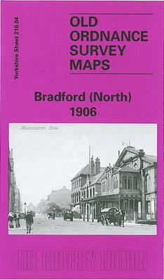
Bradford North in 1906 in a fascinating series of reproductions of old Ordnance Survey plans in the Alan Godfrey Editions, ideal for anyone interested in the history of their neighbourhood or family. The map covers the northern part of central Bradford, including the eastern part of Manningham. Coverage stretches from Salt Street eastward to Undercliffe
Lyme Regis 1903
Lyme Regis in 1903 in a fascinating series of reproductions of old Ordnance Survey plans in the Alan Godfrey Editions, ideal for anyone interested in the history of their neighbourhood or family. Coverage extends west across the county boundary at Devonshire Head to Furze Close and Ware House. The map includes the harbour and famous