Category Archives: Maps
Bรผkk Cartographia Tourist Map 29

Bรผkk at 1:40,000 in a series of contoured hiking and recreational maps from the Budapest based Cartographia, with hiking routes and other tourist information, including in many titles street plans, cycling trails, etc. The maps have contours at 10m intervals with relief shading and spot heights, plus colouring and/or graphics to indicate different types of
Gerecse Cartographia Tourist Map 10
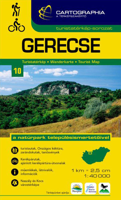
Gerecsein a series of contoured hiking and recreational maps from the Budapest based Cartographia, with hiking routes and other tourist information, including in many titles street plans, cycling trails, etc. The maps have contours at 10m intervals with relief shading and spot heights, plus colouring and/or graphics to indicate different types of vegetation. An overprint
Danube Bend Cartographia Tourist Map 31

Danube Bendin a series of contoured hiking and recreational maps from the Budapest based Cartographia, with hiking routes and other tourist information, including in many titles street plans, cycling trails, etc. The maps have contours at 10m intervals with relief shading and spot heights, plus colouring and/or graphics to indicate different types of vegetation. An
Mรกtra Cartographia Tourist Map 14
Mรกtrain a series of contoured hiking and recreational maps from the Budapest based Cartographia, with hiking routes and other tourist information, including in many titles street plans, cycling trails, etc. The maps have contours at 10m intervals with relief shading and spot heights, plus colouring and/or graphics to indicate different types of vegetation. An overprint
Pilis – Visegrad Hills Cartographia Tourist Map 16
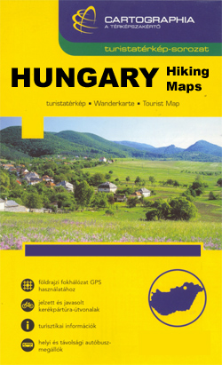
Pilis and the Visegrad Hillsin a series of contoured hiking and recreational maps from the Budapest based Cartographia, with hiking routes and other tourist information, including in many titles street plans, cycling trails, etc. The maps have contours at 10m intervals with relief shading and spot heights, plus colouring and/or graphics to indicate different types
Zemplen Hills South Cartographia Tourist Map 23
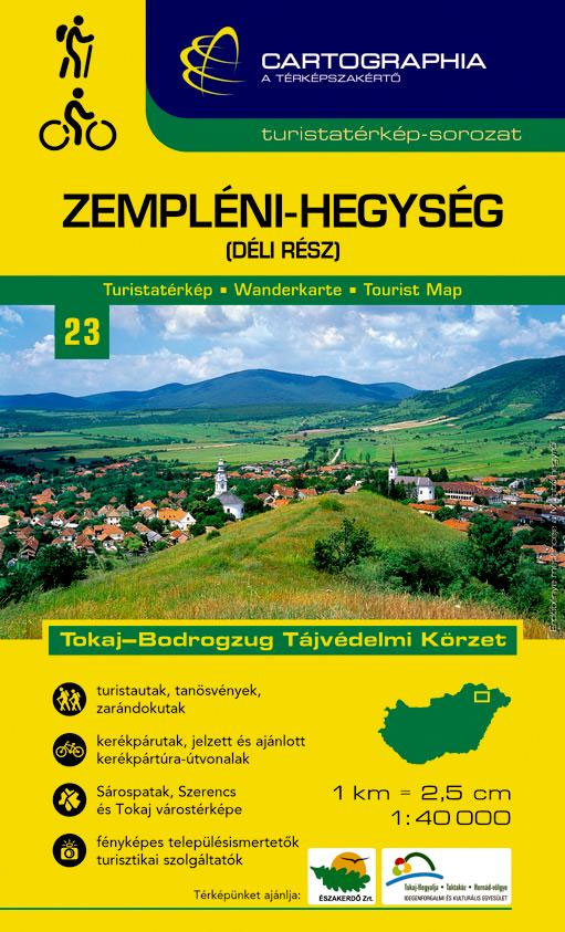
Zemplen Hills Southin a series of contoured hiking and recreational maps from the Budapest based Cartographia, with hiking routes and other tourist information, including in many titles street plans, cycling trails, etc. The maps have contours at 10m intervals with relief shading and spot heights, plus colouring and/or graphics to indicate different types of vegetation.
Vรฉrtes Cartographia Tourist Map 20

Vรฉrtesin a series of contoured hiking and recreational maps from the Budapest based Cartographia, with hiking routes and other tourist information, including in many titles street plans, cycling trails, etc. The maps have contours at 10m intervals with relief shading and spot heights, plus colouring and/or graphics to indicate different types of vegetation. An overprint
Lake Balaton Cartographia Tourist Map 4
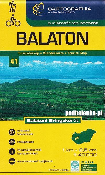
Lake Balaton (40K)in a series of contoured hiking and recreational maps from the Budapest based Cartographia, with hiking routes and other tourist information, including in many titles street plans, cycling trails, etc. The maps have contours at 10m intervals with relief shading and spot heights, plus colouring and/or graphics to indicate different types of vegetation.
Lake Balaton Cartographia Leisure Map
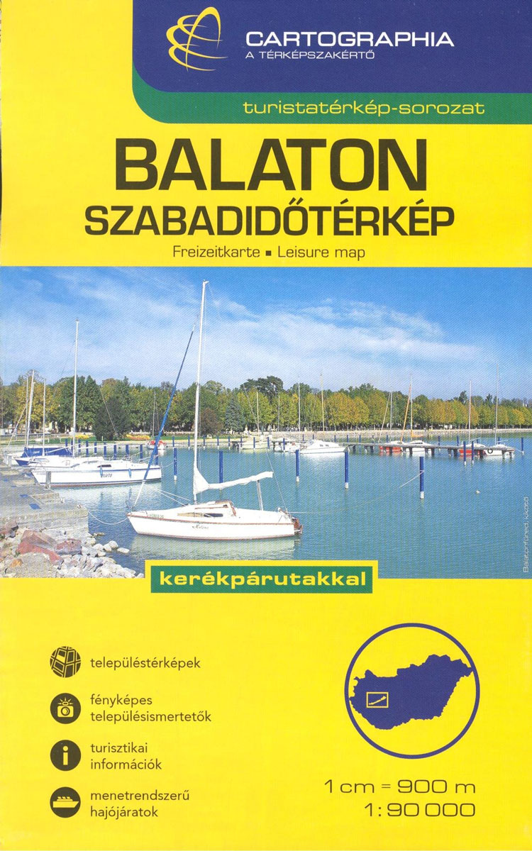
Lake Balaton (90K)in a series of contoured hiking and recreational maps from the Budapest based Cartographia, with hiking routes and other tourist information, including in many titles street plans, cycling trails, etc. The maps have contours at 10m intervals with relief shading and spot heights, plus colouring and/or graphics to indicate different types of vegetation.
Gรถmรถr – Tornai-Karszt – Cserehรกt Cartographia Tourist Map 1
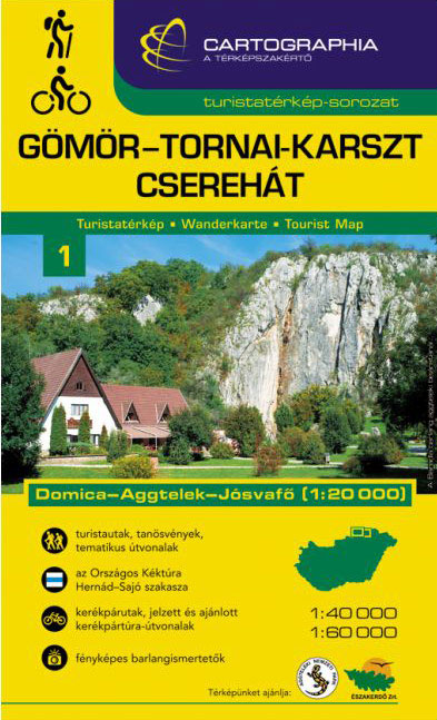
Gรถmรถr ‘“ Torna Karstin a series of contoured hiking and recreational maps from the Budapest based Cartographia, with hiking routes and other tourist information, including in many titles street plans, cycling trails, etc. The maps have contours at 10m intervals with relief shading and spot heights, plus colouring and/or graphics to indicate different types of
Koszeg Hills Cartographia Tourist Map 13
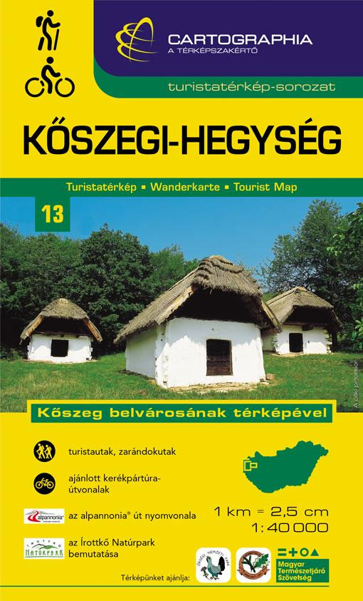
Koszeg Hillsin a series of contoured hiking and recreational maps from the Budapest based Cartographia, with hiking routes and other tourist information, including in many titles street plans, cycling trails, etc. The maps have contours at 10m intervals with relief shading and spot heights, plus colouring and/or graphics to indicate different types of vegetation. An
Mecsek – Villรกny Mountains Cartographia Tourist Map 15
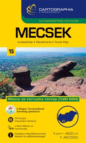
Mecsekin a series of contoured hiking and recreational maps from the Budapest based Cartographia, with hiking routes and other tourist information, including in many titles street plans, cycling trails, etc. The maps have contours at 10m intervals with relief shading and spot heights, plus colouring and/or graphics to indicate different types of vegetation. An overprint
Constanta Cartographia Street Plan

Constanta on a street plan at 1:15,000 from the Budapest-based Cartographia, with enlargements showing in greater detail the centre and the Mamaia tourist resort north of Constanta. Main traffic arteries are highlighted; tram routes are shown with line numbers. Important buildings and facilities are highlighted, including selected hotels, campsites, beaches, car parks and petrol stations,
Cairo
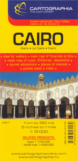
Indexed map of central Cairo from Cartographia, with plans of central Alexandria, Heliopolis and Luxor, small plans of the three pyramid complexes around the city: Giza, Saqqara and Dahshur, plus an overview map of the Greater Cairo area.The plan of Cairo extends from Imbaba in the north to the churches and museums of Old Cairo
Arad – Timisoara Cartographia Street Plan
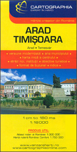
Romanian towns of Arad and Timisoara on a double-sided map from the Budapest-based Cartographia. Each town is shown with an enlargement of its central area, plus an index including lists of sights and facilities; a small road map shows the roads connecting these towns.On one side is a plan of Arad with an enlargement for
Cluj Napoca – Oradea Cartographia Street Plan
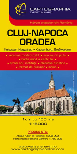
Romanian towns of Cluj Napoca and Oradea on a double-sided map from the Budapest-based Cartographia. Each town is shown with an enlargement of its central area, an index including lists of sights and facilities, plus a small road map of the surrounding region.On one side is a plan of Cluj Napoca, on the reverse is
Borzsony Cartographia Tourist Map 5

Borzsonyin a series of contoured hiking and recreational maps from the Budapest based Cartographia, with hiking routes and other tourist information, including in many titles street plans, cycling trails, etc. The maps have contours at 10m intervals with relief shading and spot heights, plus colouring and/or graphics to indicate different types of vegetation. An overprint
Buda Hills Cartographia Tourist Map 6

Buda Hillsin a series of contoured hiking and recreational maps from the Budapest based Cartographia, with hiking routes and other tourist information, including in many titles street plans, cycling trails, etc. The maps have contours at 10m intervals with relief shading and spot heights, plus colouring and/or graphics to indicate different types of vegetation. An
Bucharest
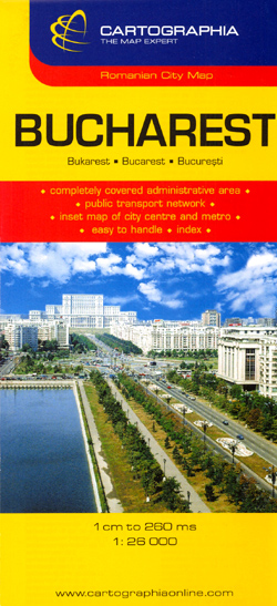
Plan of the city with its outer suburbs, showing administrative districts. An enlargement at 1:10,000 shows the centre, a diagram shows the metro network, and a road map at 1:300,000 covers the environs of the capital. Both the main plan and the enlargement show bus, trolleybus, tram, metro and railway lines. A range of symbols


