Category Archives: Maps
Thatcher Peninsula – South Georgia BAS
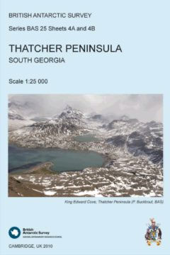
This double-sided map features both a topographic and a satellite image map of Thatcher Peninsula, South Georgia. The topographic map includes contours at 25 m intervals and the locations of moraine, ice, rivers and lakes. The map covers King Edward Point, the BAS Research Station, and man-made structures are shown. Side B shows a VHR
Busen Region – South Georgia BAS
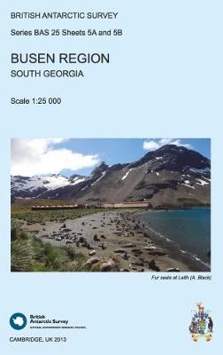
This double-sided map features a topographic map of the Busen Region on side A and local information and photos regarding a number of topics on the reverse. Side A shows contours at 25 m intervals and the locations of ice, rivers and lakes. Man-made features are also shown at the disused whaling stations of Leith,
St Andrews Bay – Royal Bay, South Georgia BAS Geomorphology Map
Geomorphology map of the St Andrews Bay – Royal Bay area of South Georgia at 1:50,000 from the British Antarctic Survey. BAS ref. for this title is BAS (Misc) 1. Thei is the folded version of this title which is also available flat.PLEASE NOTE: to see the list of other detailed topographic and specialist maps
The South Sandwich Islands Volcanic Arc BAS Bathymetry and Geological Map 6
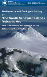
Double-sided map from the British Antarctic Survey: on one side is a bathymetry and geological setting map of the South Sandwich Islands Volcanic Arc at 1:750,000; on the reverse individual islands are shown on separate panels at 1:50,000 or 1:25,000. Both sides include explanatory notes and addition information panels. Full BAS ref. number: BAS GEOMAO
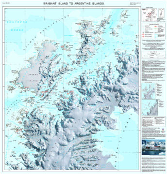
Brabant Island to Adelaide Island
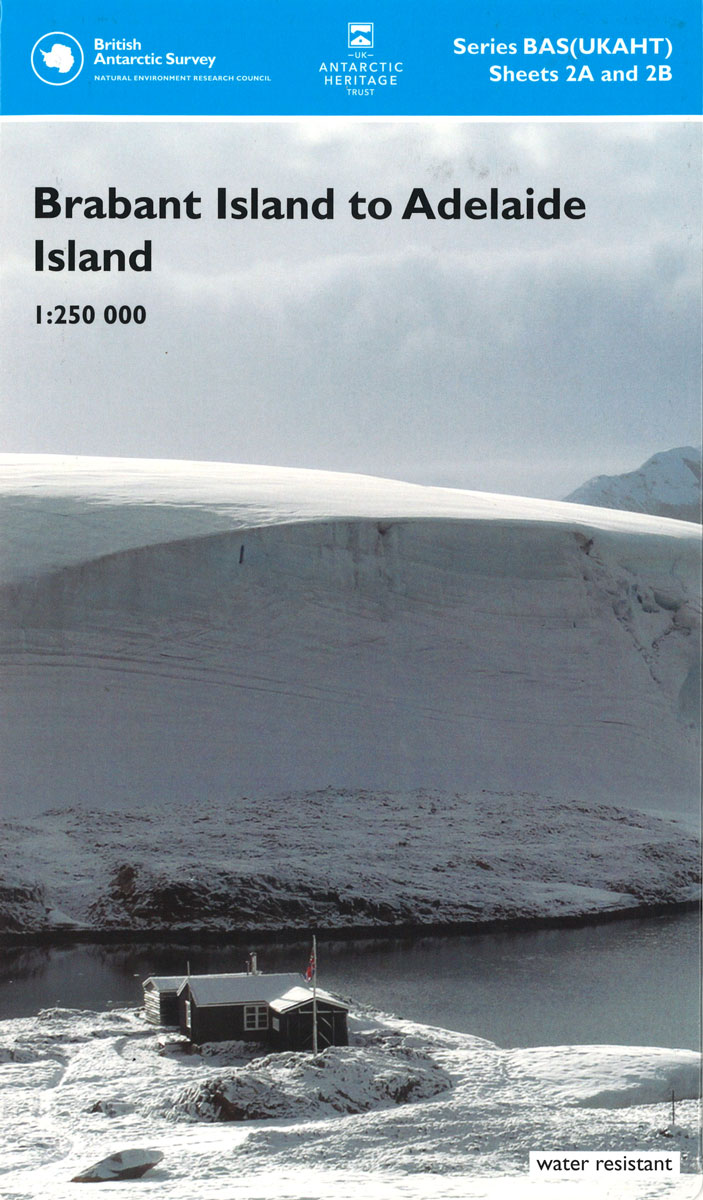
A section of the northern part of the Antarctic Peninsula with the nearby islands, including Brabant Island and Anvers Island (the location of the US Palmer Station), on a contoured topographic map at 1:250,000 published by the British Antarctic Survey and the United Kingdom Antarctic Heritage Trust in 2008. The map provides a vivid presentation
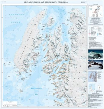
Adelaide Island and Arrowsmith Peninsula BAS
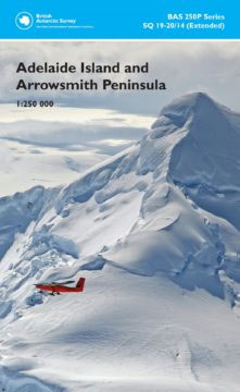
Adelaide Island and the Arrowsmith Peninsula of Antarctica at 1:250,000 on a double-sided map from the British Antarctic Survey presenting on one side contoured topographic mapping and on the reverse a stunning satellite image of the same area which includes BAS’s Rothera base.The topographic map has contours at 250m intervals with colouring for rocky outcrops,
Adelaide Island And Arrowsmith Peninsula Bas Wall Map
Adelaide Island and the Arrowsmith Peninsula of Antarctica at 1:250,000 on a double-sided wall map from the British Antarctic Survey, size 84x84cm (33″x33″ approx), presenting on one side contoured topographic mapping and on the reverse a stunning satellite image of the same area which includes BAS’s Rothera base.The topographic map has contours at 250m intervals
Leeds East 1906
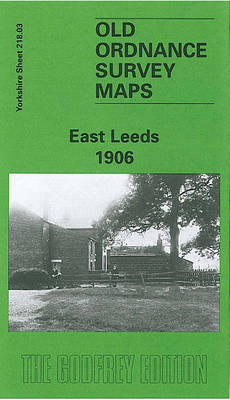
Leeds East in 1906 in a fascinating series of reproductions of old Ordnance Survey plans in the Alan Godfrey Editions, ideal for anyone interested in the history of their neighbourhood or family. The map covers the eastern fringe of Leeds, including the developing area around Harehills Lane and southward along York Road. On the east
Eastern Graham Land BAS Geological Map 1
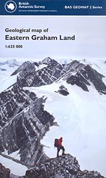
Geological map of the Eastern Graham Land, the northernmost part of the Antarctic Peninsula, at 1:625,000 from the British Antarctic Survey. Two insets show in greater detail the region around Botany Bay and around the Sobral and Longing Peninsulas. The map also includes two geological cross sections: from near Cape Legoupil to Snow Hill Islands
Redesdale 1866
Redesdale in 1866 in a series of reproductions of Ordnance Survey’s famous “Inch to the Mile” maps published in the Alan Godfrey Editions to provide a historical record of England and Wales in the second half of 19th and early 20th century.The map covers a rural part of central Northumberland centred on Redesdale. Coverage included
South Georgia BAS Geological Map 4
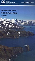
South Georgia and its offshore islands in the South Atlantic presented by the British Antarctic Survey on a geological map at 1:250,000 with geological units coloured in dark or light tints representing exposed (mountains or nunataks) and inferred geology (under ice, snow or vegetation). Please note: this is the 2011 version, full BSA ref. no.
Isle of Wight
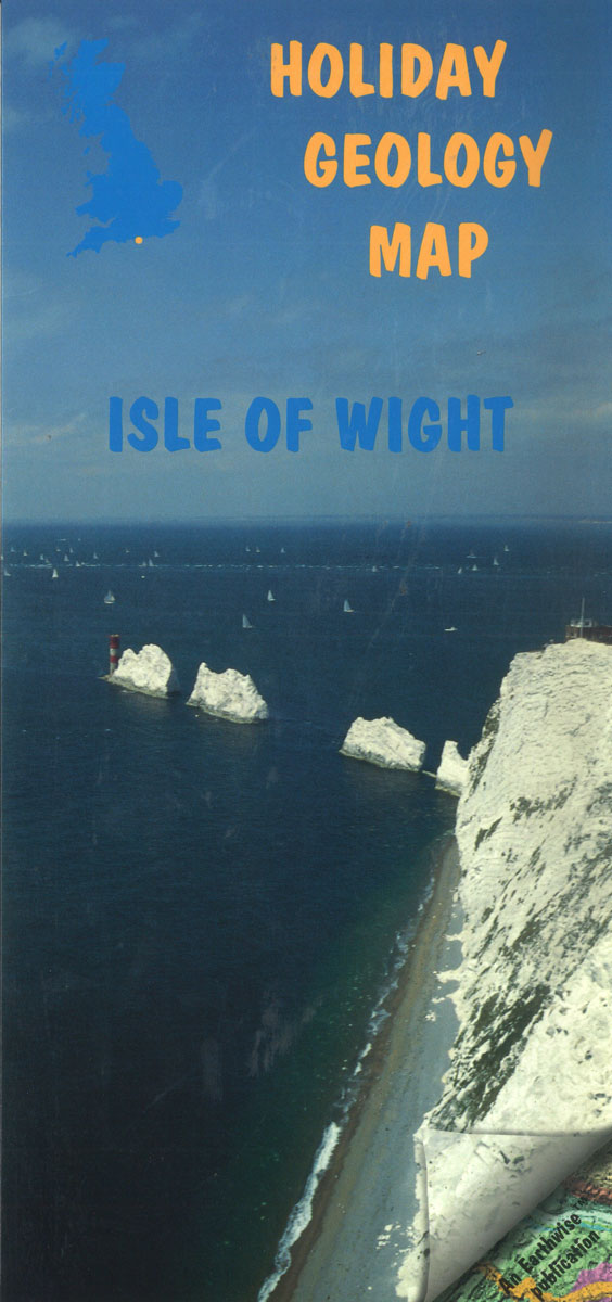
The Isle of Wight contains some of the most beautiful coastal scenery in Britain. It is an ideal area in which to examine the relationship between the rocks and the landscape, and to appreciate the processes that have acted for hundreds of milllions of years.
Lake District Holiday Geology Map
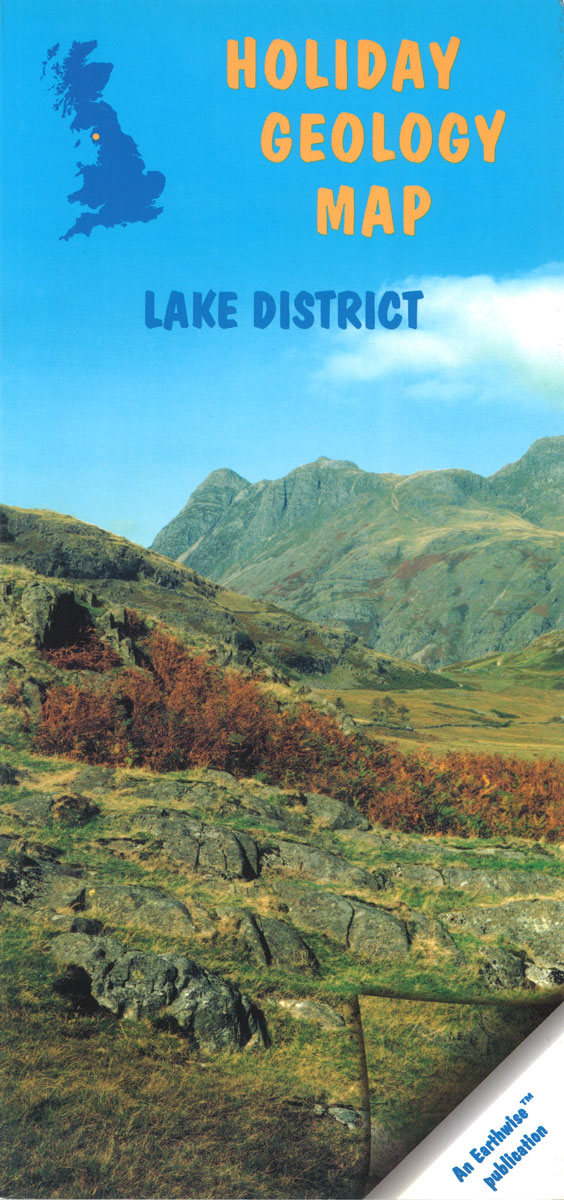
This laminated `map` is the ideal companion for anyone interested in the landscape of the Lake District. Includes readable sections on how the landscape was formed, a diagrammatic cross-section of the area and an overview `map` showing the different types of rock.
United Kingdom North BGS Bedrock Geology Pack
A geological map at 1:625,000 from the British Geological Survey showing bedrock geology of the northern part of the United Kingdom, plus an 88-page explanatory booklet. Coverage extends south to Lancaster and Bridlington Bay (British National Grid line 460km north) and overlaps generously with the Southern UK sheet. Orkney Islands, Shetland Islands, and the remote
North West Surrey 1888
North West Surrey in 1888 in a series of reproductions of Ordnance Survey’s famous “Inch to the Mile” maps published in the Alan Godfrey Editions to provide a historical record of England and Wales in the second half of 19th and early 20th century.Coverage stretches from Farnham and Aldershot Common eastward to East Horsley and
Bishopbriggs 1910

Bishopbriggs 1910 in a fascinating series of reproductions of old Ordnance Survey plans in the Alan Godfrey Editions, ideal for anyone interested in the history of their neighbourhood or family. The map covers the village of Bishopbriggs, just north-east of Glasgow. The NBR Edinburgh-Glasgow line runs through the map and features include the station, Crowhill,
Brynmawr 1915 – 47.07
Brynmawr in 1915 in a fascinating series of reproductions of old Ordnance Survey plans in the Alan Godfrey Editions, ideal for anyone interested in the history of their neighbourhood or family. The map covers the town of Brynmawr, extending southward to Winchestown and the northern part of Nantyglo. Features include Market Square, Newtown, Twyn-Cynnordy, Town
Aintree 1906
Aintree in 1906 in a fascinating series of reproductions of old Ordnance Survey plans in the Alan Godfrey Editions, ideal for anyone interested in the history of their neighbourhood or family. The map covers much of Aintree, north of Liverpool, and is dominated by the famous racecourse. Coverage stretches from Warbreck Moor eastward to Moss