Category Archives: Maps
Thatcher Peninsula – South Georgia BAS Wall Map
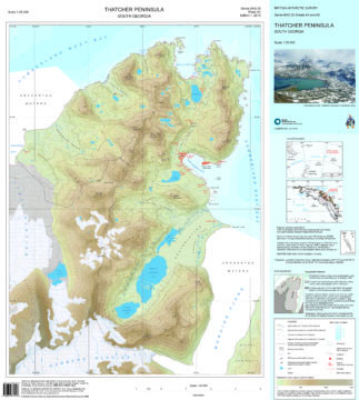
This double-sided map features both a topographic and a satellite image map of Thatcher Peninsula, South Georgia. The topographic map includes contours at 25 m intervals and the locations of moraine, ice, rivers and lakes. The map covers King Edward Point, the BAS Research Station, and man-made structures are shown. Side B shows a VHR
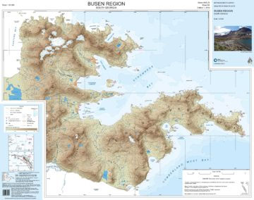
Busen Region – South Georgia BAS Wall Map
South Georgia and its offshore islands in the South Atlantic presented by the British Antarctic Survey on a double-sided map combining topographic mapping of the whole island at 1:200,000 scale and detailed topographic mapping of the route of Shackleton’s crossing in May 1916 at 1:40,000 scale.On one side is a map presenting the topography by
Antarctica and the Arctic BAS
Antarctica and the Arctic presented together at 1:10,000,000, each as one side of a double-sided map from the British Antarctic Survey and shown within the circle of 60ยฐ of latitude. The newly updated, folded version of this title was published in 2018. On one side is a map of the Antarctic including South Shetland and
Antarctica and the Arctic BAS Wall Map
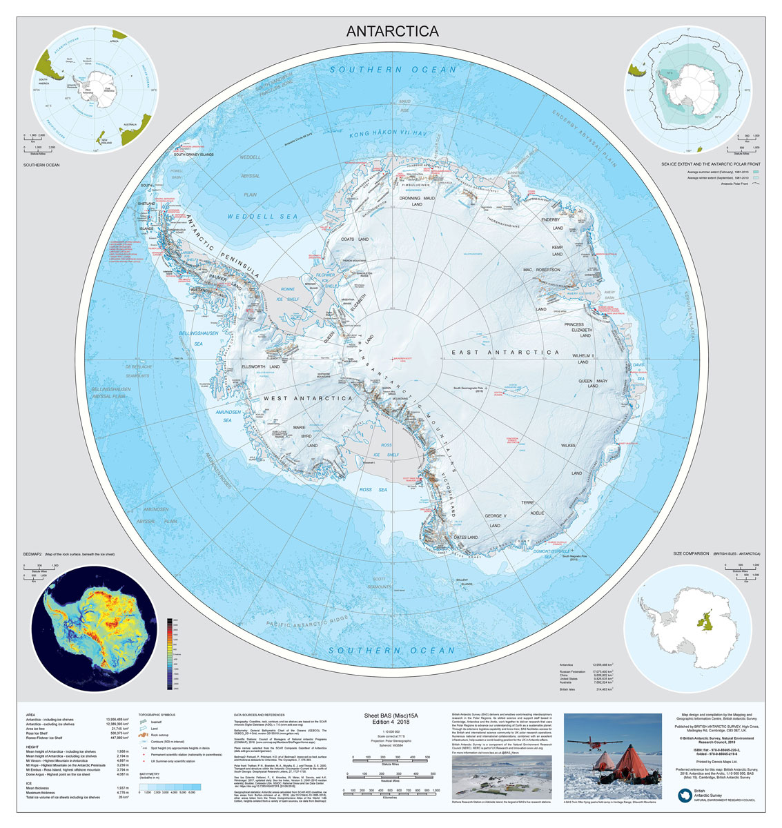
A double-sided wall from the British Antarctic Survey, size 84x84cm (33″x33″ approx), presenting Antarctica and the Arctic at 1:10,000,000, each as one side of the map and shown within the circle of 60ยฐ of latitude.On one side is a map of the Antarctic including South Shetland and South Orkney Islands. The map has contour lines
Greenland and the European Arctic BAS
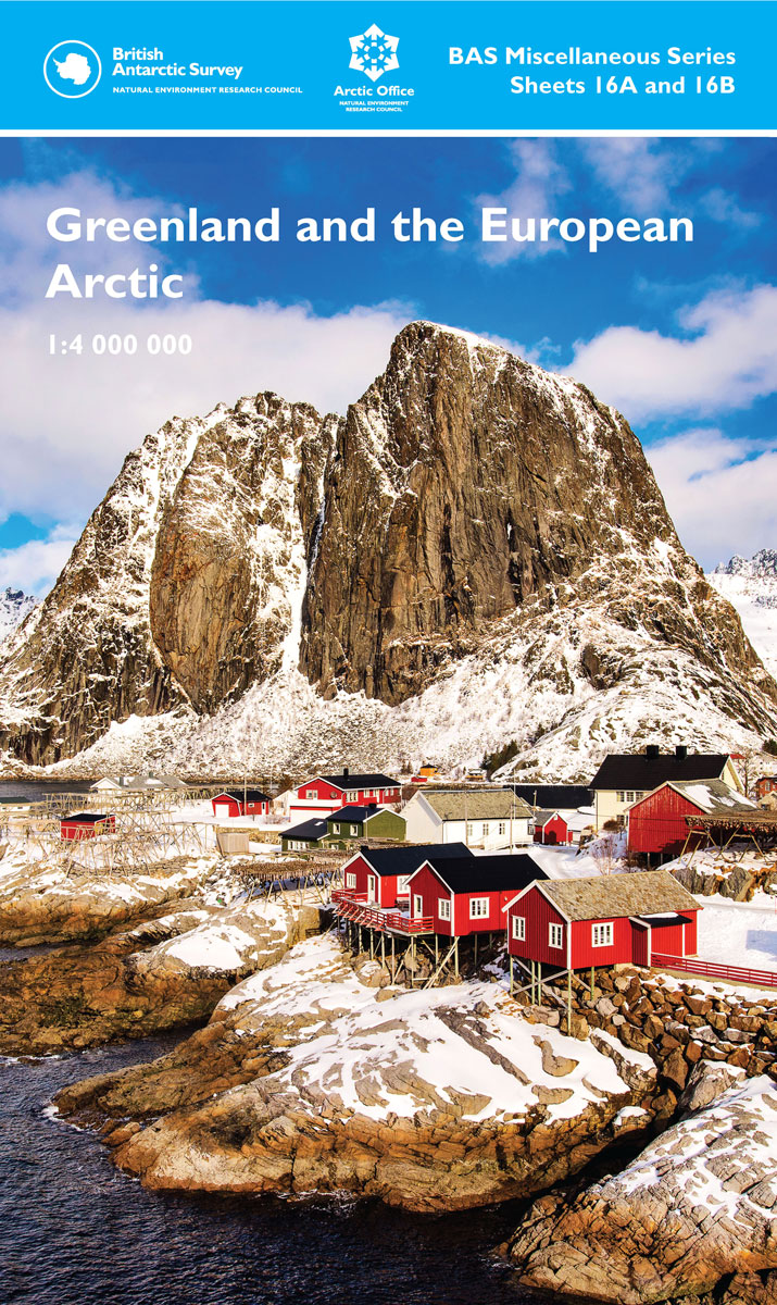
A new map of Greenland and the European Arctic British Antarctic Survey is pleased to announce the upcoming publication of a new map: `Greenland and the European Arctic`. The map is at 1:4,000,000 scale covering a region not previously covered on one map sheet. There is a large information sheet on the reverse with topical
Greenland and the European Arctic BAS Wall Map
British Antarctic Survey is pleased to announce the upcoming publication of a new map: `Greenland and the European Arctic`. The map is at 1:4,000,000 scale covering a region not previously covered on one map sheet. There is a large information sheet on the reverse with topical information about the Arctic, produced by the UK Natural
South Shetland Islands BAS Wall Map
This double-sided map features topographic detail with a satellite image mosaic backdrop. It covers the South Shetland Islands in three separate map panels. The map shows topographic information including: Coastline and offshore rocks; bathymetry; elevation information as contours and selected mountain summit heights; all UK place names; permanent and summer-only scientific research stations; Antarctic Specially
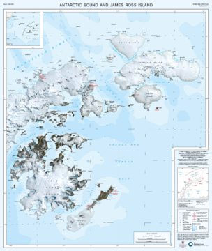
James Ross Island BAS Geological Map 5
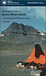
Geological map of the James Ross Island off the northern tip of the Antarctic Peninsula at 1:125,000 from the British Antarctic Survey. Several insets provide more information: a geological cross-section of the island, an outcrop map, a digital elevation model, a map compilation diagram, plus a map of the James Ross Island Volcanic Group with
BEDMAP2 Bedrock Topography of Antarctica BAS
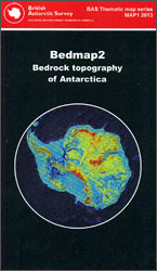
Bed topography map of Antarctica presenting the continent as it would stand if stripped of its ice cover. Around the main map and on the reverse are numerous additional map panels and notes providing a fascinating insight on how the information used on this unusual map was gathered.Based by the British Antarctic Survey on Bedmap
The Girl Who Takes an Eye for an Eye: Continuing Stieg Larsson`s Millennium Series

THE GIRL WITH THE DRAGON TATTOO LIVES ON. Lisbeth Salander is an unstoppable force: Sentenced to two months in Flodberga women`s prison for saving a young boy`s life by any means necessary, Salander refuses to say anything in her own defence. She has more important things on her mind. Mikael Blomkvist makes the long trip
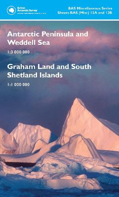
Graham Land and South Shetland Islands – Scotia Sea
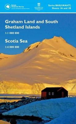
Double-sided map from the UK Antarctic Heritage Trust ideal for the increasing number of visitors approaching Antarctica by sea across the Drake Passage: on one side is an overview map extending north to include from the southern tip of South America, Falkland Islands and South Georgia, on the reverse the northern part of the Antarctic
The President`s Gardens

One Hundred Years of Solitude meets The Kite Runner in Saddam Hussein`s Iraq. “A contemporary tragedy of epic proportions. No author is better placed than Muhsin Al-Ramli, already a star in the Arabic literary scene, to tell this story. I read it in one sitting”. Hassan Blasim, winner of the Independent Foreign Fiction Prize for
Northern Antarctic Peninsula
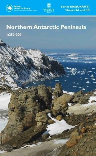
The northern part of the Antarctic Peninsula presented at 1:250,000 by the UK Antarctic Heritage Trust on a double-sided, visually impressive topographic and bathymetric map based on satellite imagery, with plenty of names of local features.Land above sea is shown with LANDSAT satellite imagery as its base. Topography is indicated by contour lines (250m intervals,
Northern Antarctic Peninsula UKAHT Wall Map
The northern part of the Antarctic Peninsula presented at 1:250,000 by the UK Antarctic Heritage Trust on a double-sided, visually impressive topographic and bathymetric map based on satellite imagery, with plenty of names of local features.Land above sea is shown with LANDSAT satellite imagery as its base. Topography is indicated by contour lines (250m intervals,
BEDMAP2 Bedrock Topography of Antarctica BAS Wall Map
Bed topography wall map of Antarctica, size 87x88cm (34.5″x34.5″ approx), presenting the continent as it would stand if stripped of its ice cover. Around the main map and on the reverse are numerous additional map panels and notes providing a fascinating insight on how the information used on this unusual map was gathered.Based by the
Greenland Basal Topography BedMachine v3
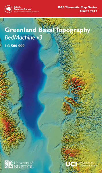
This double-sided geophysical and glaciological map shows the basal topography of Greenland and surrounding seabed. The topography of the subglacial landscape under the Greenland Icesheet was modelled using a mixture of radio echo-sounding and a glaciological model (BEDMACHINE 2) and is presented in a similar colour scheme to the Antarctic BEDMAP2. The map is a
Busen Region – South Georgia BAS
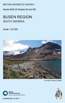
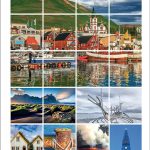
This double-sided map features a topographic map of the Busen Region on side A and local information and photos regarding a number of topics on the reverse. Side A shows contours at 25 m intervals and the locations of ice, rivers and lakes. Man-made features are also shown at the disused whaling stations of Leith,
St Andrews Bay – Royal Bay, South Georgia BAS Geomorphology Map
Geomorphology map of the St Andrews Bay – Royal Bay area of South Georgia at 1:50,000 from the British Antarctic Survey. BAS ref. for this title is BAS (Misc) 1. Thei is the folded version of this title which is also available flat.PLEASE NOTE: to see the list of other detailed topographic and specialist maps