Category Archives: Maps
Arkansas Recreational Atlas & Gazetteer
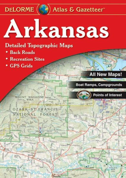
Arkansas Recreational Atlas & Gazetteer at 1:125,000 approx. from DeLorme in a new edition published in 2011, with GPS compatible mapping and extensive additional recreational information including facilities at campgrounds, etc.Each title in this DeLorme series covers one state and presents it at a scale much more detailed than used on most state road maps.
Diving for Pearls
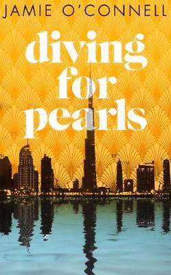
A young woman`s body floats in the Dubai marina. Her death alters the fates of six people, each one striving for a better life in an unforgiving city.A young Irish man comes to stay with his sister, keen to erase his troubled past in the heat of the Dubai sun. A Russian sex worker has
Capital: The Eruption of Delhi
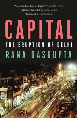
“A terrific portrait of Delhi right now.” (Salman Rushdie). “An astonishing tour de force by a major writer at the peak of his powers.” (William Dalrymple). When Rana Dasgupta arrived in Delhi at the turn of the twenty-first century, he had no intention of staying for long, but the city beguiled him – he `fell
The Edible Atlas: Around the World in Thirty-Nine Cuisines
Mina Holland takes you on a journey around the globe, demystifying the flavours, ingredients and techniques at the heart of thirty-nine cuisines. What`s the origin of kimchi in Korea? Why do we associate Argentina with steak? What`s the story behind the curries of India? Weaving anecdotes and history – from the role of a priest
This Divided Island: Stories from the Sri Lankan War
“In the summer of 2009, the leader of the dreaded Tamil Tiger guerrillas was killed, bringing to a bloody end the stubborn and complicated civil war in Sri Lanka. For nearly thirty years, the war`s fingers had reached everywhere: into the bustle of Colombo, the Buddhist monasteries scattered across the island, the soft hills of
The Mountains Sing
Winner of the Blogger`s Book Prize, 2021Winner of Best Literary Fiction and Best Multicultural Fiction at American Book Fest International Book Awards, 2021`An epic account of Viet Nam`s painful 20th-century history, both vast in scope and intimate in its telling… Moving and riveting.` Viet Thanh Nguyen, Pulitzer Prize-winning author of The Sympathizer Selected as a
Syria: A Recent History
Syria`s descent into civil war has already claimed an estimated 200,000 lives while more than nine million people have fled their homes. This is now the greatest humanitarian and political crisis of the twenty-first century. In this timely account, John McHugo charts the history of Syria from the First World War to the present and
Native: Dispatches from a Palestinian-Israeli Life: 2016
Sayed Kashua has been lauded by the New York Times as “a master of subtle nuance in dealing with both Arab and Jewish society.” A Palestinian-Israeli who lived in Jerusalem for most of his life, Kashua started writing with the hope of creating one story that both sides could relate to. He devoted his novels
A Concise History of the Arabs
The key to understanding the Arab world today – and in the future – is unlocking its past. In this sweeping and fluent account, John McHugo narrates a journey through the political, social and intellectual history of the Arabs from the Roman Empire right up to the present day. Taking readers beyond the headlines, he
Classic Palestinian Cuisine
Classic Palestinian Cuisisne is a collection of over one hundred mouh-watering dishes, such as ful m`dammas (broad bean salad), kidreh (rice with mutton) and djaj mahshi (stuffed chicken), characteristic of the culinary culture of the Mediterranean. Christiane Dabdoub Nasser`s delightful tips and anecdotes, from coring marrows to buying the perfect cabbage for stuffing, vividly bring
Halifax NS FastTrack
Laminated Map Fast Track maps are durable, convenient, and take all the wear and tear your journey can dish out. The laminated design allows you to mark your route, make notes, then wipe the surface clean for further use. The colour-coded freeways and clear exit names make for quick and easy navigation. The map easily
New Brunswick – Prince Edward Island FastTrack
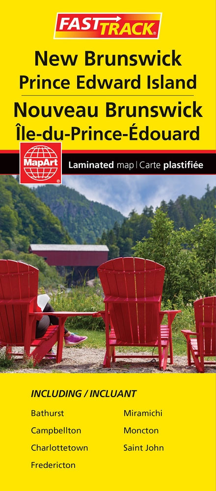
Waterproof and tear-resistant FastTrack map presenting in a handy-size format indexed road maps of New Brunswick and Price Edward Island, both at 1:667,000, plus enlargements showing main urban areas in greater detail.New Brunswick is covered on two overlapping panels, with Prince Edward Island presented separately. The maps show road network indicating unpaved roads and give
The Last Man
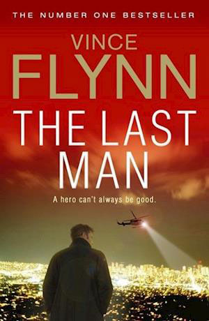
THE NEW YORK TIMES NUMBER ONE BESTSELLER A hero can`t always be good . . . Joe Rickman, head of clandestine operations in the Middle East, has been kidnapped, and with him top secret CIA information that could prove disastrous in the wrong hands. Mitch Rapp must find Rickman at all costs. But something doesn`t
British Columbia – Alberta FastTrack
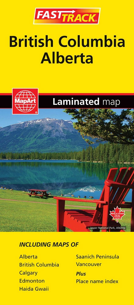
British Columbia and Alberta, including the Banff and Jasper National Parks, on an indexed, double-sided road map presenting both provinces together at 1:2,000,000, plus more detailed mapping of the region’s main urban areas including Vancouver, Victoria, Calgary, etc.On one side both provinces are shown together at 1:2m with their road network presented on a base
The Arab Uprisings: The People Want the Fall of the Regime
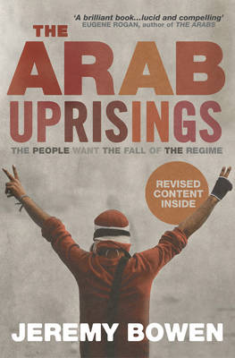
Jeremy Bowen has been the BBC`s Middle East correspondent for twelve years and has been on the ground for them as the recent revolutions have swept through the region. Realising this as a game-changing moment in the history of the Middle East, The Arab Uprisings captures the thoughts and feelings of the people involved as
Vancouver FastTrack
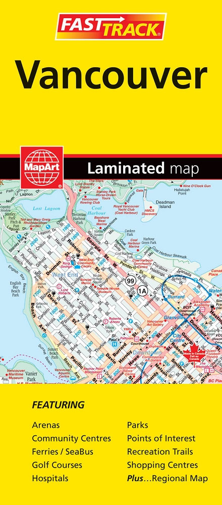
Vancouver’s on a double-sided, waterproof and tear-resistant, indexed street plan showing on one side the city at 1:28,000, with coverage including Burnaby and the Lower Lonsdale district of North Vancouver. On the reverse separate panels show downtown Vancouver in greater detail at 1:19,000, the University of British Columbia Campus and access to the city’s International
The Illustrated World Atlas

This illustrated atlas is packed with up to date maps, and great images.By presenting information in an accessible way using visuals, children will want to learn more about the world.
Big Year
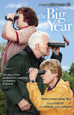
Each year, hundreds of people set out across North America determined to set a new record in a spectacularly competitive event. Is it tennis? Golf? Racing? Poker perhaps? No, it`s bird-watching, and a contest known as the Big Year – a grand, gruelling, expensive (and occasionally vicious) 365-day marathon to identify the most species. The
Sandakan
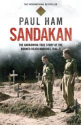
After the fall of Singapore in 1942, the conquering Japanese Army transferred some 2500 British and Australian prisoners to a jungle camp at Sandakan, on the east coast of North Borneo. There they were beaten, broken, worked to death, thrown into bamboo cages on the slightest pretext and subjected to tortures so ingenious and hideous
Thatcher Peninsula – South Georgia BAS Wall Map
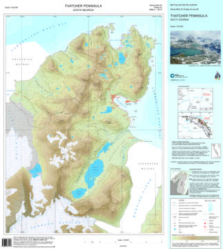
This double-sided map features both a topographic and a satellite image map of Thatcher Peninsula, South Georgia. The topographic map includes contours at 25 m intervals and the locations of moraine, ice, rivers and lakes. The map covers King Edward Point, the BAS Research Station, and man-made structures are shown. Side B shows a VHR