Category Archives: Maps
The Sandstone outcrops of the Forest of Dean
Publication of early development at Huntsham Crag and Near Hearkening Rock in the 1999 Symonds Yat guide led promptly to an explosion of exploration of the numerous sandstone outcrops and boulders throughout the northern sector of the Forest of Dean. This new 2006 guide describes the many hundreds of short climbs and bouldering routes of
Illinois Recreational Atlas & Gazetteer
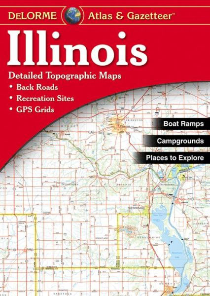
Illinois Recreational Atlas & Gazetteer at 1:150,000 approx. in a series of large format paperback state atlases from DeLorme, with detailed, contoured, GPS compatible topographic mapping. Recreational information includes lists of canoe trips, fishing hot spots, trails for hiking/mountain biking/horse riding/cross-country skiing, wildlife sites, unique natural features, historic sites, museums, and scenic drives. Tables are
New Jersey Recreational Atlas & Gazetteer
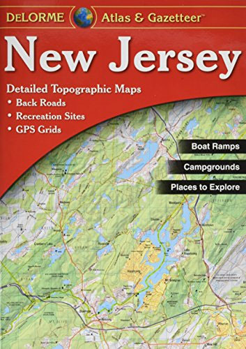
New Jersey Recreational Atlas & Gazetteer at 1:80,000 approx. in a series of large format paperback state atlases from DeLorme, with detailed, contoured, GPS compatible topographic mapping. The atlas includes indexed street plans of Newark and vicinity (incl. Newark Liberty International Airport and Jersey City), Atlantic City, Camden and Trenton. Recreational information includes historic sites,
Virginia Recreational Atlas & Gazetteer
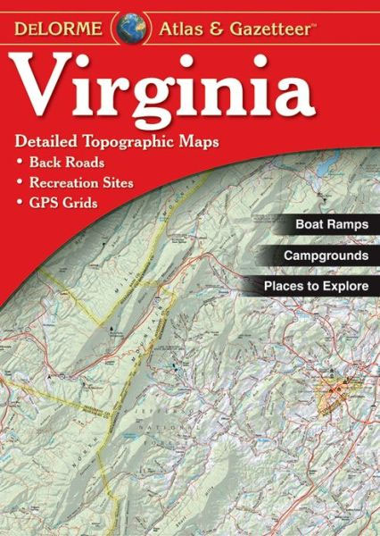
Virginia Recreational Atlas and Gazetteer at 1:150,000 in a series of large format paperback state atlases from DeLorme, with detailed, contoured, GPS compatible topographic mapping, plus a map of the whole state showing public lands. Recreational information includes lists of historic sites and museums, (including American Civil War sites), hiking trails, cycle routes, canoe trips,
Nebraska Recreational Atlas & Gazetteer
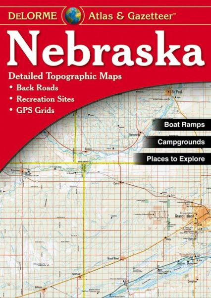
Nebraska Recreational Atlas & Gazetteer at 1:200,000 approx. in a series of large format paperback state atlases from DeLorme, with detailed, contoured, GPS compatible topographic mapping. Recreational information includes lists of unique natural features, attractions, scenic drives, historic sites, hiking and cycling trails, paddling sites. Tables are also provided listing facilities in state parks and
Washington State Recreational Atlas & Gazetteer
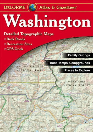
Washington State Recreational Atlas and Gazetteer at 1:157,000 approx. in a series of large format paperback state atlases from DeLorme, with detailed, contoured, GPS compatible topographic mapping plus extensive recreational information, with lists of sites and facilities, etc. Recreational information in this title recreational information includes lists of recommended family outings, unique natural features, outdoor
Minnesota Recreational Atlas & Gazetteer
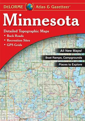
Minnesota Recreational Atlas & Gazetteer at 1:189,000 approx. in a series of large format paperback state atlases from DeLorme, with detailed, contoured, GPS compatible topographic mapping. The atlas includes an extensive index of lakes and other geographic features. Recreational information includes lists of parks, forests, unique natural features, historic sites/museums, art museums/science centres, wildlife sites,
Montreal FastTrack
Montreal on an indexed, double-sided, waterproof and tear-resistant FastTrack map presenting the city’s central districts at 1:26,000, with an enlargement showing in greater detail Montreal’s downtown area at 1:15,000, plus a road map of the surrounding district at 1:250,000.Street plans from the MapArt / Canadian Cartographics Corporation / JDM Gรฉo publishing group are usually produced
Kentucky Recreational Atlas & Gazetteer
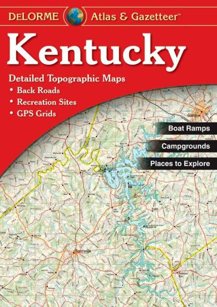
Kentucky Recreational Atlas & Gazetteer at 1:150,000 approx. in a series of large format paperback state atlases from DeLorme, with detailed, contoured, GPS compatible topographic mapping. Recreational information includes lists of unique natural features, attractions, historic sites, scenic drives, hiking and biking trails. Tables are also provided listing, where appropriate with facilities, state and national
Winnipeg FastTrack
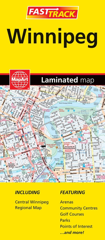
Double-sided, waterproof and tear-resistant, indexed street plan of Winnipeg.Street plans from the MapArt / Canadian Cartographics Corporation / JDM Gรฉo publishing group are usually produced at scales around 1:25,000 to 1:35,000 with smaller towns often shown at more detailed scales. All plans have street indexes. Plans of larges cities usually include an enlargement for the
Hawaii Recreational Atlas & Gazetteer
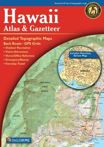
Hawaii Recreational Atlas & Gazetteer at 1:84,000 approx. in a series of large format paperback state atlases from DeLorme, with detailed, contoured, GPS compatible topographic mapping, plus an indexed street plan of Honolulu. Recreational information includes lists of natural area reverses, scenic drives, hiking trails, recreational areas, historic sites and attractions, recreational areas, golf courses,
British Columbia FastTrack
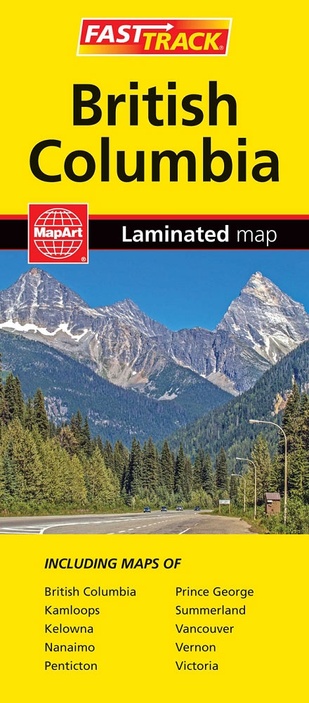
British Columbia, with coverage extending to Calgary to include the Banff and Jasper National Parks, on an indexed, waterproof and tear-resistant, handy size FastTrack map, presenting the whole province on two overlapping panels at 1:2,000,000, with more detailed enlargements and street plans covering the Vancouver at 1:1,275,000, the Victoria and Nanaimo areas of Vancouver Island
Arkansas Recreational Atlas & Gazetteer
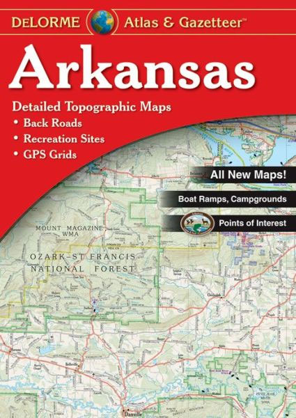
Arkansas Recreational Atlas & Gazetteer at 1:125,000 approx. from DeLorme in a new edition published in 2011, with GPS compatible mapping and extensive additional recreational information including facilities at campgrounds, etc.Each title in this DeLorme series covers one state and presents it at a scale much more detailed than used on most state road maps.
Ontario FastTrack
The durable and convenient EasyFinderTM of Ontario, Canada will take all the wear and tear your journey can dish out. The laminated design allows you to mark your route, make notes, then wipe the surface clean for further use.This map features enhanced cartography with: Clearly indicated highways, County Boundaries, Streets, Points of Interest and National
Oklahoma Recreational Atlas & Gazetteer
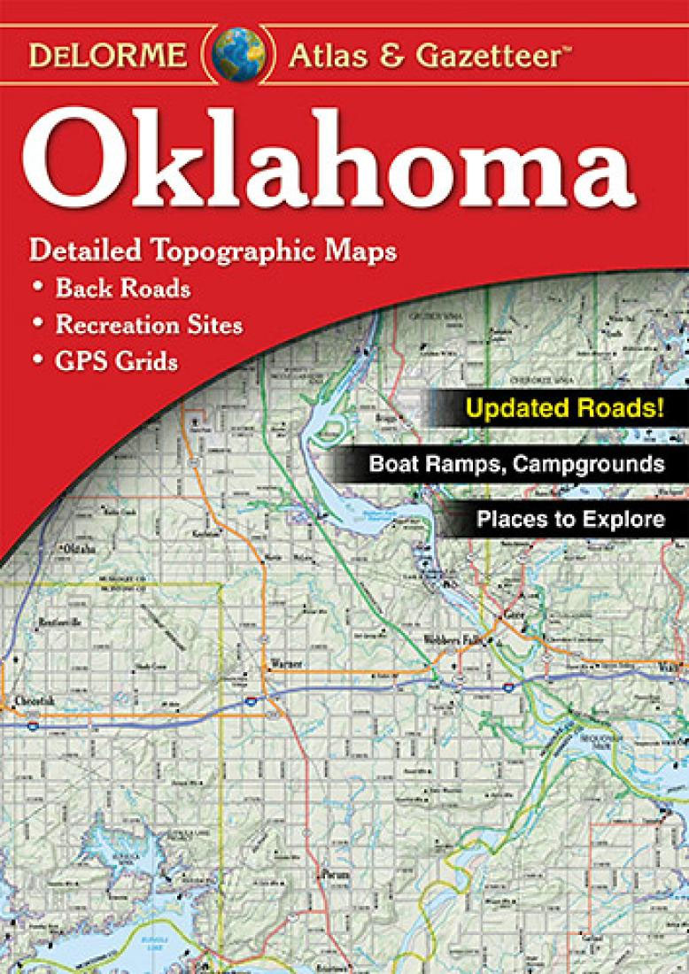
Oklahoma Recreational Atlas and Gazetteer at 1:300,000 approx. in a series of large format paperback state atlases from DeLorme, with detailed, contoured, GPS compatible topographic mapping plus extensive recreational information, with lists of sites and facilities, etc.Each title in this DeLorme series covers one state and presents it at a scale much more detailed than
Canada MapArt Road Atlas
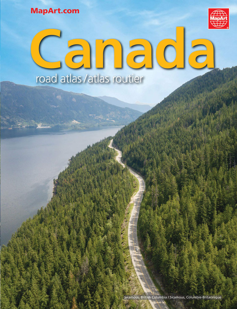
Canada on an A4, 69-page paperback road atlas from the Canadian Cartographics Corporation with map scales varying according to the density of the road network, plus additional city maps for main towns, an index, and a distance table. The southern, more populates parts of Quรฉbec and Ontario, plus the Atlantic Provinces are covered at scales
Georgia Recreational Atlas & Gazetteer
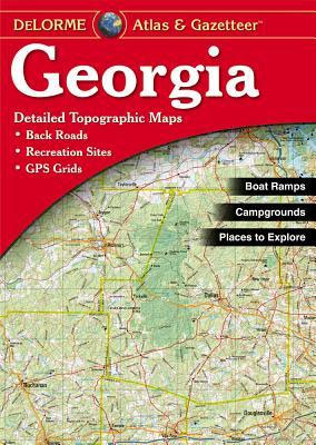
Georgia Recreational Atlas & Gazetteer at 1:185,000 approx. in a series of large format paperback state atlases from DeLorme, with detailed, contoured, GPS compatible topographic mapping. Recreational information includes lists of hiking trails, tables of salt or fresh water fishing sites and hunting grounds, recreational areas, scenic drives, historic sites, unique natural features, campgrounds, attractions,
Alabama Recreational Atlas & Gazetteer
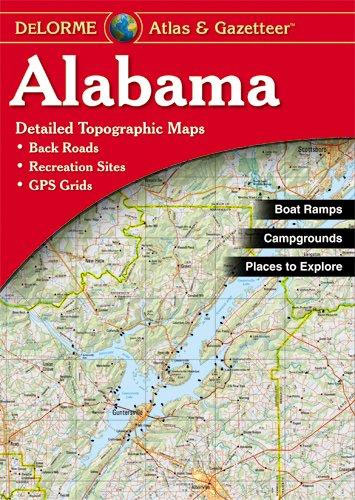
Alabama Recreational Atlas and Gazetteer at 1:182,000 approx. in a series of large format paperback state atlases from DeLorme, with detailed, contoured, GPS compatible topographic mapping. Recreational information in this title includes lists of whitewater rivers and streams, fresh water fishing and hunting areas (indicating species), salt water fishing access, hiking trails, campgrounds, golf courses,
Maryland & Delaware Recreationa Atlas & Gazetteer
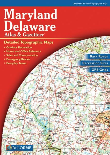
Maryland and Delaware Recreational Atlas & Gazetteer at 1:100,000 approx. in a series of large format paperback state atlases from DeLorme, with detailed, contoured, GPS compatible topographic mapping. Additional maps provide information on the ecology of the Chesapeake Bay, showing habitats of blue crab, eastern oyster, plus hard and soft shell clam. Recreational information includes
Louisiana Recreational Atlas & Gazetteer
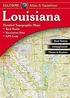
Louisiana Recreational Atlas & Gazetteer at 1:181,000 approx. in a series of large format paperback state atlases from DeLorme, with detailed, contoured, GPS compatible topographic mapping, plus a street plan of central New Orleans. Recreational information includes lists of unique natural features, attractions, museums/historic sites, scenic drives, gardens. Tables are also provided listing, where appropriate