Category Archives: Maps
Osh
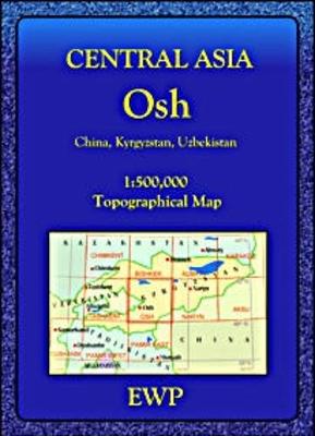
Osh region at 1:500,000 in a series of detailed, contoured maps of the mountains of Central Asia derived from the Soviet era topographic survey but with transliterated place names and an English language map legend. Maps in this series provide coverage of the Tien Shan and Pamir Mountains, with the whole of Kyrgyzstan, northern Tajikistan,
Leamington Spa, Warwick and Kenilworth
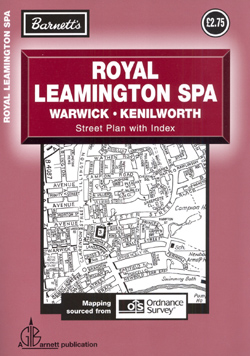
Royal Leamington Spa with Warwick and Kenilworth is an indexed, double sided, black and white, simple street plan. Mapping is sourced from Ordnance Survey and shows main and local minor/residential roads, rail lines, large local municipal and private buildings, with particular attention given to the location of schools. Post code boundaries are shown.
Charles Booth`s Descriptive Map of London Poverty 1889

Set of four loose sheets of inner London (each measuring 52x63cm), colour-coding each street according to the relative wealth of its inhabitants in the 1880s. A fascinating look at what London life was like in this defining era.Between 1886 and 1889 a wealthy London Businessman called Charles Booth and his team of assistants conducted a
Stanford`s Library Map of London and its Suburbs 1862
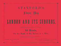
A stunning reproduction of a 24-sheet set of maps covering Victorian London during a period of rapid expansion and improvement – described by the Royal Geographical Society as “the most perfect map of London that has ever been issued”. Here the sheets are bound into a large paperback format. The maps are in black and
Pennsylvania DeLorme Atlas & Gazetteer
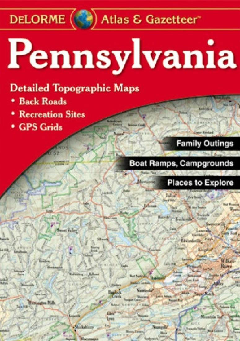
Pennsylvania Recreational Atlas and Gazetteer at 1:150,000 approx. in a series of large format paperback state atlases from DeLorme, with detailed, contoured, GPS compatible topographic mapping. Recreational information includes lists of recommended family outings, unique natural features, outdoor adventure sites for hiking, biking, paddling and downhill skiing. Tables present facilities in campgrounds and recreational areas,
Peak Limestone North: Stoney, Chee Dale, Water-Cum-Jolly, Raven Tor, Harpur Hill
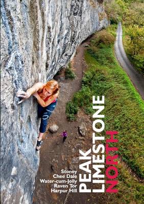
A tremendous guide that shines the definitive light on the classic limestone crags in the northern area of the Peak District. Coverage extends to Stoney Middleton, Horseshoe Quarry, Water-cum-Jolly, Raven Tor, Chee Dale, Ravensdale, Smalldale, Staden Quarry, Harpur Hill, Aldery Cliff and many many more.This definitive guidebook from the British Mountaineering Council covers trad climbing,
North Dakota DeLorme Atlas & Gazetteer
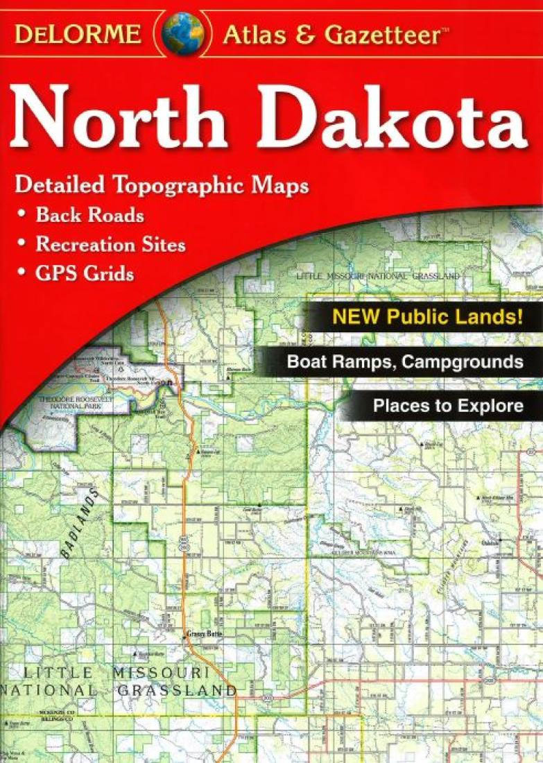
North Dakota Recreational Atlas and Gazetteer at 1:200,000 approx. in a series of large format paperback state atlases from DeLorme, with detailed, contoured, GPS compatible topographic mapping. Recreational information includes lists of unique natural features, attractions, tribal lands historic sites, hiking/biking/horse riding/ski trails. Tables present facilities in state and national parks, campgrounds and wildlife viewing
Lancashire Rock: The Definitive Guide

Lancashire Rock – this is the 2016 edition of the definitive guidebook from the BMC covering all the routes in Lancashire in one volume. There are 3200 routes from Mod to E9 across 95 crags throughout the county.* Big-hitting honeypots in the Wilton area* Moorland mystery-crags in the Trough of Bowland* Limestone leads on Trowbarrow,
Utah Recreational Atlas & Gazetteer
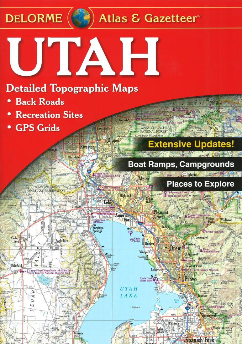
Utah Recreational Atlas and Gazetteer at 1:235,000 approx. in a series of large format paperback state atlases from DeLorme, with detailed, contoured, GPS compatible topographic mapping plus extensive recreational information, with lists of sites and facilities, etc. The atlas includes a map of the whole state showing public lands. Recreational information includes lists of unique
Peak District Grit
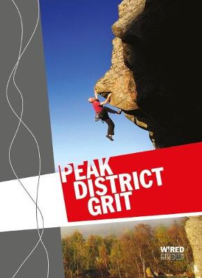
The ultimate guide to Peak District gritstone sets out to embrace the best climbs across the whole of this, the most beloved of all the climbing areas in the UK.From Eastern royalty – Stanage, Froggatt, Curbar and Millstone – to the Western bastions – the Roaches, Ramshaw and Hen Cloud. From the cosy edges of
Missouri Recreational Atlas & Gazetteer
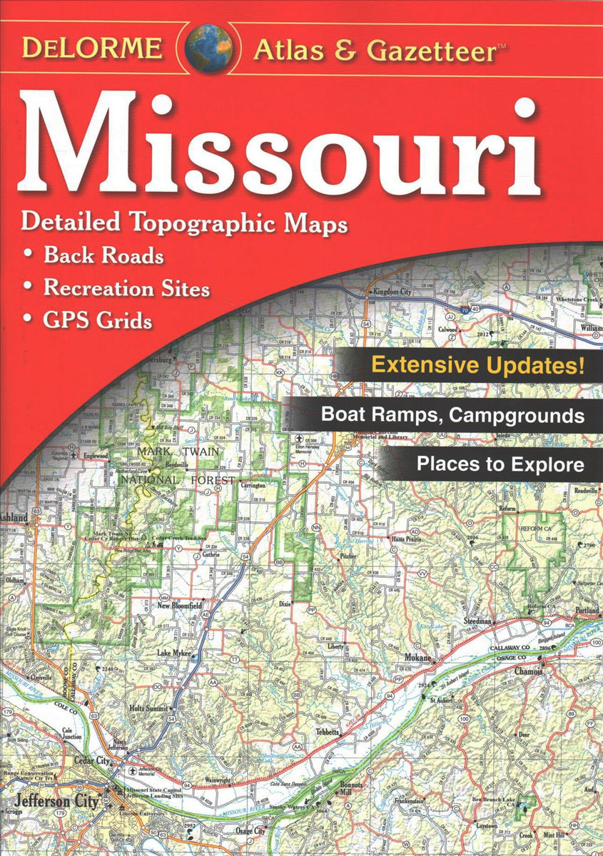
Missouri Recreational Atlas & Gazetteer at 1:200,000 approx. in a series of large format paperback state atlases from DeLorme, with detailed, contoured, GPS compatible topographic mapping. Recreational information includes lists of unique natural features, historic sites, attractions, wineries, scenic drives, biking routes, hiking trails, float trips. Tables are also provided listing national/state lands and campgrounds
Portland – Climber`s Club Guide
This is the only guide that covers all the climbs on the Isle of Portland and at Lulworth Cove. Whether it`s a sport climb, a trad route, a deep water solo, or a boulder problem, you`ll find it here. The bulk of the guide covers sport climbing, and interspersed between the sport climbs are a
The Sandstone outcrops of the Forest of Dean
Publication of early development at Huntsham Crag and Near Hearkening Rock in the 1999 Symonds Yat guide led promptly to an explosion of exploration of the numerous sandstone outcrops and boulders throughout the northern sector of the Forest of Dean. This new 2006 guide describes the many hundreds of short climbs and bouldering routes of