Category Archives: Maps
Stranton & Southern Hartlepool 1896 – 37.15

Stranton and Southern Hartlepool in 1896 in a fascinating series of reproductions of old Ordnance Survey plans in the Alan Godfrey Editions, ideal for anyone interested in the history of their neighbourhood or family. The map covers the area from Burbank Street and All Saints church southward to Foggy Furze and Longhill Farm. Various iron
Azilal – M`Goun
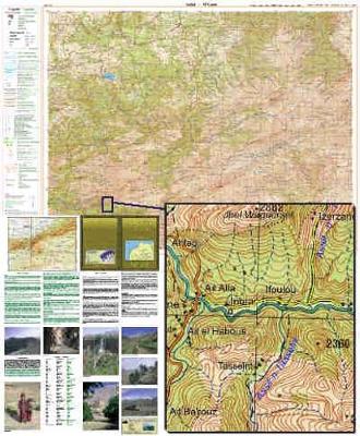
Azilal – M`Goun region in a series of GPS compatible maps at 1:160,000 published by EWP and West Col Productions and covering Morocco’s Atlas Mountains with its neighbouring deserts and coastal areas. The maps use the cartography of the Russian military survey of the area, providing a very detailed representation of the terrain, with contours
Paddington 1914 – 60.3
Paddington in 1914 in a fascinating series of reproductions of old Ordnance Survey plans in the Alan Godfrey Editions, ideal for anyone interested in the history of their neighbourhood or family. Three versions of this map show how the area developed across the years. The maps each cover the same area, stretching from Chepstow Place
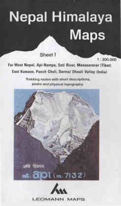
Leh, Zanskar and Nubra Valley
About the series:Maps designed specifically for the trekker, presenting the topography by line drawings of mountain ridges, with main peaks and passes shown with their height above sea level. The maps also show rivers and settlements and clearly indicate trekking routes. On the reverse are descriptions of suggested routes and other information about the area.
Rupshu, Tso Moriri, Pangong Tso
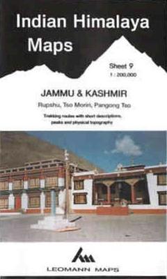
About the series:Maps designed specifically for the trekker, presenting the topography by line drawings of mountain ridges, with main peaks and passes shown with their height above sea level. The maps also show rivers and settlements and clearly indicate trekking routes. On the reverse are descriptions of suggested routes and other information about the area.
Kalpa-Kinnaur, Spiti and Shimla Area
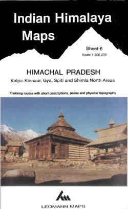
About the series:Maps designed specifically for the trekker, presenting the topography by line drawings of mountain ridges, with main peaks and passes shown with their height above sea level. The maps also show rivers and settlements and clearly indicate trekking routes. On the reverse are descriptions of suggested routes and other information about the area.
Tashkent
Tashkent region at 1:500,000 in a series of detailed, contoured maps of the mountains of Central Asia derived from the Soviet era topographic survey but with transliterated place names and an English language map legend. Maps in this series provide coverage of the Tien Shan and Pamir Mountains, with the whole of Kyrgyzstan, northern Tajikistan,
Aksu
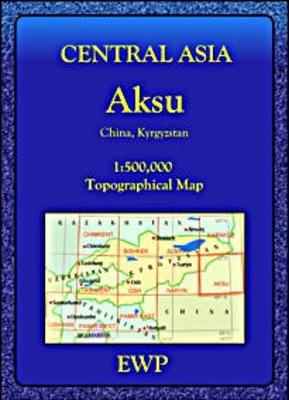
Aksu region at 1:500,000 in a series of detailed, contoured maps of the mountains of Central Asia derived from the Soviet era topographic survey but with transliterated place names and an English language map legend. Maps in this series provide coverage of the Tien Shan and Pamir Mountains, with the whole of Kyrgyzstan, northern Tajikistan,
Almaty
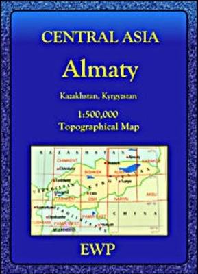
Almaty region at 1:500,000 in a series of detailed, contoured maps of the mountains of Central Asia derived from the Soviet era topographic survey but with transliterated place names and an English language map legend. Maps in this series provide coverage of the Tien Shan and Pamir Mountains, with the whole of Kyrgyzstan, northern Tajikistan,
Bishkek
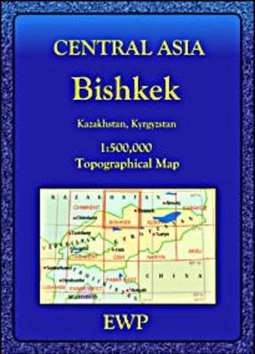
Bishkek region at 1:500,000 in a series of detailed, contoured maps of the mountains of Central Asia derived from the Soviet era topographic survey but with transliterated place names and an English language map legend. Maps in this series provide coverage of the Tien Shan and Pamir Mountains, with the whole of Kyrgyzstan, northern Tajikistan,
Shymkent (Chimkent)
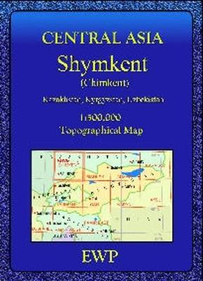
Shymkent (Chimkent) region at 1:500,000 in a series of detailed, contoured maps of the mountains of Central Asia derived from the Soviet era topographic survey but with transliterated place names and an English language map legend. Maps in this series provide coverage of the Tien Shan and Pamir Mountains, with the whole of Kyrgyzstan, northern
Eastern Edges: North – Burbage, Millstone and Beyond: The Definitive Gritstone Guide. All the Routes – All the Bouldering
This is the definitive gritstone rock-climbing and bouldering guide from the British Mountaineering Council, covering every crag in the Burbage, Rivelin, Millstone, Bamford and Wharncliffe areas. Continuing on the popular and successful format of the “Staffordshire Roaches Guide” (2004, 0-903908-67-0), it features: over 2,200 routes from Diff to E10 and over 750 boulder problems from
Karakol
Karakol region at 1:500,000 in a series of detailed, contoured maps of the mountains of Central Asia derived from the Soviet era topographic survey but with transliterated place names and an English language map legend. Maps in this series provide coverage of the Tien Shan and Pamir Mountains, with the whole of Kyrgyzstan, northern Tajikistan,
Mount Kenya Map & Guide
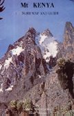
Double-sided sheet combining three maps of the mountain at various scales, drawings of its peaks annotated with hiking and climbing routes, and information on for hikers and climbers. The main map at 1:50,000 and an enlargement of the peak area at 1:25,000 have contours at 50m intervals, show glaciers, scree, cliffs and rocky ridges, as
Naryn
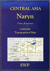
Naryn region at 1:500,000 in a series of detailed, contoured maps of the mountains of Central Asia derived from the Soviet era topographic survey but with transliterated place names and an English language map legend. Maps in this series provide coverage of the Tien Shan and Pamir Mountains, with the whole of Kyrgyzstan, northern Tajikistan,
Mount Elgon
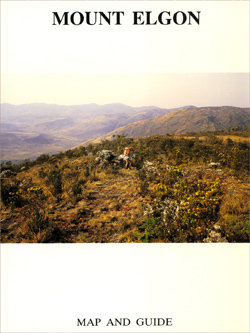
Three maps plus information for climbers. A detailed map at 1:50,000 with contours at 50m intervals shows the caldera itself and the surrounding peaks, with tracks and possible routes, caves, and a UTM grid. A more general map at 1:125,000, also contoured with intervals of 100m, shows the approaches to the mountain from the Kenyan
Osh
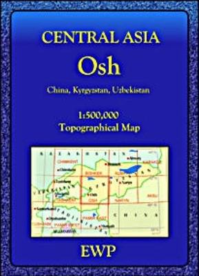
Osh region at 1:500,000 in a series of detailed, contoured maps of the mountains of Central Asia derived from the Soviet era topographic survey but with transliterated place names and an English language map legend. Maps in this series provide coverage of the Tien Shan and Pamir Mountains, with the whole of Kyrgyzstan, northern Tajikistan,
Pamir East
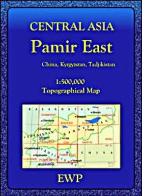
Eastern Pamir Mountains at 1:500,000 in a series of detailed, contoured maps of the mountains of Central Asia derived from the Soviet era topographic survey but with transliterated place names and an English language map legend. Maps in this series provide coverage of the Tien Shan and Pamir Mountains, with the whole of Kyrgyzstan, northern
Kullu Valley, Parabati Valley & Central Lahul
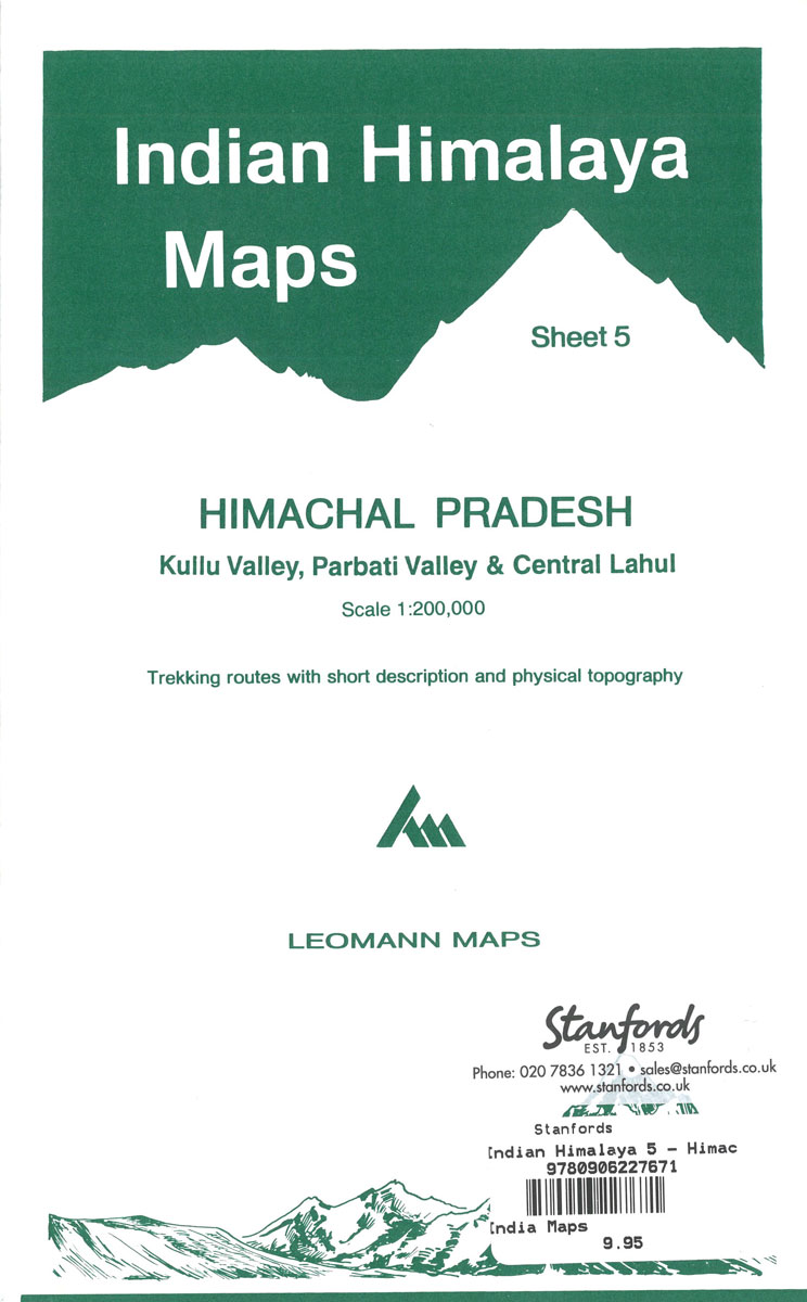
About the series:Maps designed specifically for the trekker, presenting the topography by line drawings of mountain ridges, with main peaks and passes shown with their height above sea level. The maps also show rivers and settlements and clearly indicate trekking routes. On the reverse are descriptions of suggested routes and other information about the area.