Category Archives: Maps
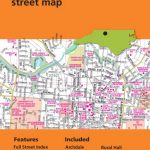
Hawai`i Phears Travel Map
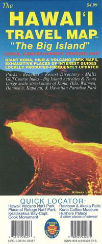
A large, comprehensive touring map provides you with an overview of the Big Island of Hawaii. As with our other products, the touring map includes detailed point of interest information. The Hawaii Travel Map also includes detailed street maps of all major areas including Kona, Hilo, Waimea, Honokaa, Kapaau, Hawaiian Paradise Park, and large scale
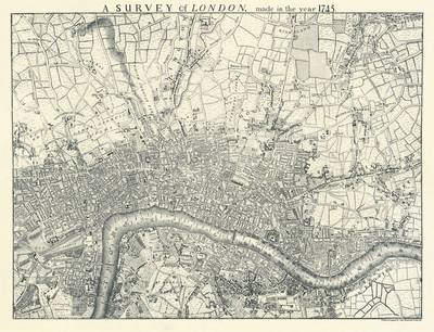
Tallis Map of London 1851

Fully titled Tallis’s Illustrated Plan of London and its Environs, this reproduction map measures 76x56cm. It was originally published in 1851 to mark that year’s Great Exhibition of Industry of all Nations, the location of which is marked in Hyde park on the map. Coverage extends from Fulham in the south west to Leyton Marsh
Wainwright Maps (4): The Southern Fells
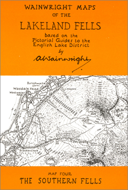
About this series:This series brings together all the small maps that were printed in A. Wainwrights famous Fell guides. Each of the six maps in the series covers a specified area and retains all the detail of the original maps, including the path information. These maps are ideal for walkers wishing to reflect on there
Wainwright Map 6 – North Western Fells
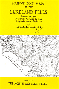
About this series:This series brings together all the small maps that were printed in A. Wainwrights famous Fell guides. Each of the six maps in the series covers a specified area and retains all the detail of the original maps, including the path information. These maps are ideal for walkers wishing to reflect on there
Wainwright Map 1 – Eastern Fells
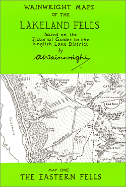
About this series:This series brings together all the small maps that were printed in A. Wainwrights famous Fell guides. Each of the six maps in the series covers a specified area and retains all the detail of the original maps, including the path information. These maps are ideal for walkers wishing to reflect on there
Montana Benchmark Road & Recreation Atlas
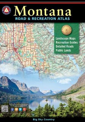
Montana at 1:250,000 in a series of excellent, detailed, GPS compatible state atlases from Benchmark Maps with extensive information on diverse recreational opportunities and facilities, covering The Rockies and the western states of the United States. Each atlas consists of three main sections:*Landscape:* with detailed mapping at scales around 1:250,000, according to the size of
Puget Sound and Greater Seattle, WA
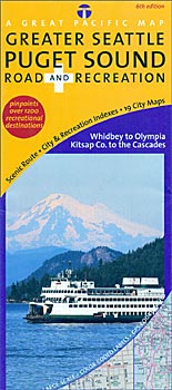
Puget Sound and Greater Seattle Road and Recreation Map from the Great Pacific Recreation & Travel Maps with clear cartography, numerous town maps and very extensive tourist information about recreational facilities, places of interest, transport, etc.The main map at 1:135,100 approx presents the area on both sides of the Puget Sound, including the Seattle conurbation,
Arizona Benchmark Road & Recreation Atlas
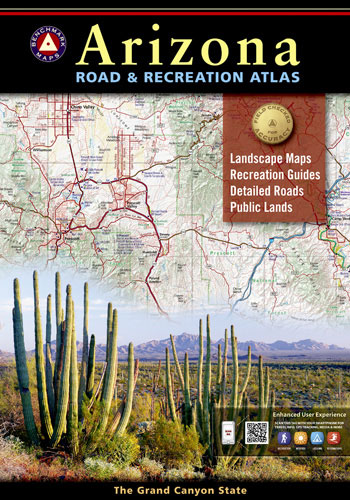
Arizona at 1:400,000 in a series of excellent, detailed, GPS compatible state atlases from Benchmark Maps with extensive information on diverse recreational opportunities and facilities, covering The Rockies and the western states of the United States. Each atlas consists of three main sections:*Landscape:* with detailed mapping at scales around 1:250,000, according to the size of
Idaho Benchmark Road & Recreation Atlas
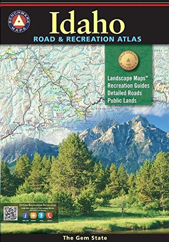
Idaho at 1:250,000 in a series of excellent, detailed, GPS compatible state atlases from Benchmark Maps with extensive information on diverse recreational opportunities and facilities. The main section of the atlas, the Landscape Maps, presents the whole state on 62 pages of detailed mapping at 1:250,000. The Recreational Section is accompanied by mapping at 1:800,000.
Oregon Central
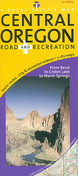
Central Oregon on a detailed, GPS compatible, double-sided map from the Great Pacific Recreation & Travel Maps at 1:203,000 approx, with a very extensive index of recreational facilities, geographic features, parks and campgrounds, etc.The map covers an area of central Oregon extending on its northern side from roughly north of Madras to south of Bend
Utah Benchmark Road & Recreation Atlas
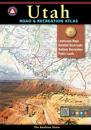
The new National Geographic Benchmark Recreation Atlases are an ideal recreation resource complete with accurate, detailed topographic maps. They contain a wealth of robust travel information, including campground locations, state park maps, sports and activity destinations, museums, hunting and fishing information, historic sites and even climate details. Every feature is clearly labelled, field-checked and verified,
Greater Yellowstone & Grand Teton Benchnark Maps Recreation Atlas & Guide
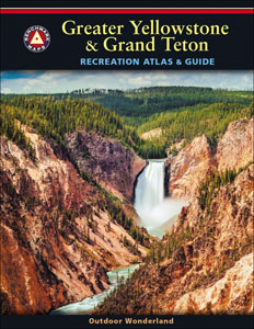
Greater Yellowstone and Grand Teton Recreation Atlas & Guide from Benchmark Maps in an A4 paperback format, with coverage of the two parks on detailed, GPS compatible ‘Recreational” section at 1:100,000, regional map coverage of a wider area, plus a 10-page recreational guide with list of various facilities, etc.The more detailed ‘Landscape” part of the
Washington State Road & Recreation Atlas
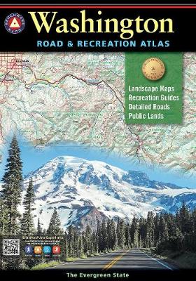
Washington State at 1:200,000 in a series of excellent, detailed, GPS compatible state atlases from Benchmark Maps with extensive information on diverse recreational opportunities and facilities, covering The Rockies and the western states of the United States. Each atlas consists of three main sections:*Landscape:* with detailed mapping at scales around 1:250,000, according to the size
California Benchmark Road & Recreation Atlas
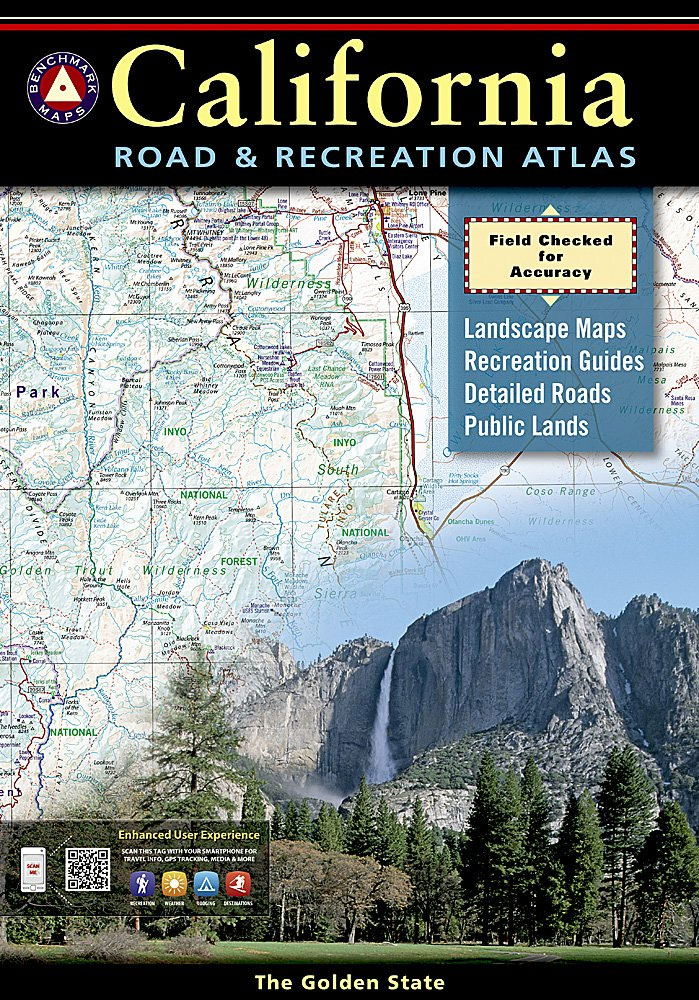
California at 1:300,000 in a series of excellent, detailed, GPS compatible state atlases from Benchmark Maps with extensive information on diverse recreational opportunities and facilities, covering The Rockies and the western states of the United States. Each atlas consists of three main sections:*Landscape:* with detailed mapping at scales around 1:250,000, according to the size of
Nevada Road & Recreation Atlas
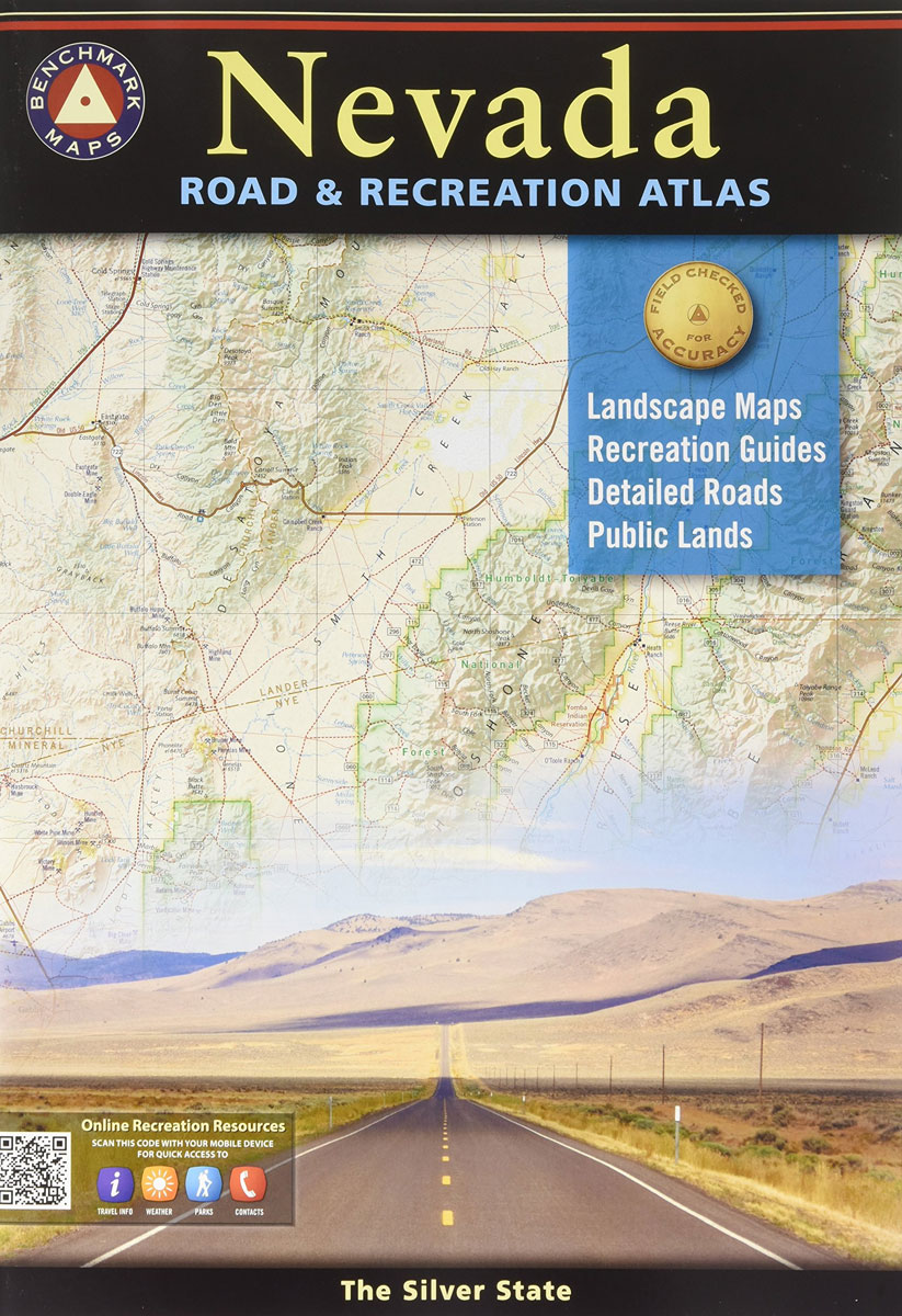
Nevada at 1:280,000 in a series of excellent, detailed, GPS compatible state atlases from Benchmark Maps with extensive information on diverse recreational opportunities and facilities, covering The Rockies and the western states of the United States. Each atlas consists of three main sections:*Landscape:* with detailed mapping at scales around 1:250,000, according to the size of
New Mexico Benchmark Road & Recreation Atlas
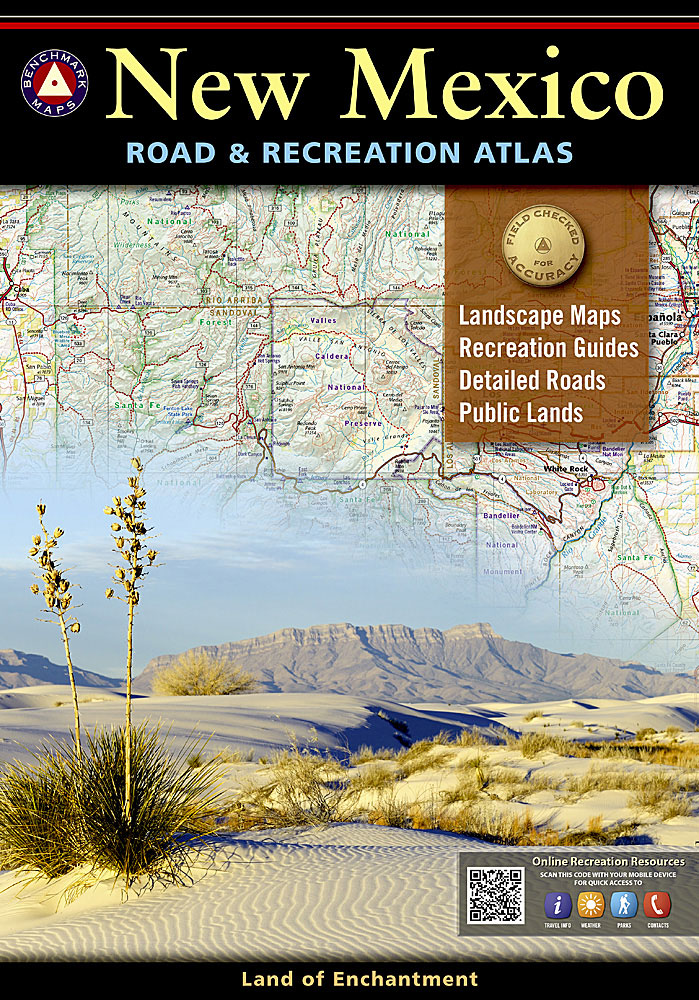
New Mexico at 1:400,000 in a series of excellent, detailed, GPS compatible state atlases from Benchmark Maps with extensive information on diverse recreational opportunities and facilities. The main section of the atlas, the Landscape Maps, presents the whole state on 56 pages of detailed mapping at 1:285,000. The Recreational Section is accompanied by mapping at
Washington State Benchmark Recreation Map
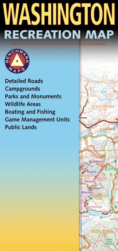
Washington State at 1:650,000 in a series of very detailed state maps of the western states of USA from Benchmark Maps designed to highlight national/state parks or forests and other protected areas, and to provide information on recreational possibilities, campgrounds and RV parks, etc.The base map is derived from satellite imagery to show the topography,