Category Archives: Maps
Iran Gizi Map
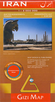
Iran on an indexed map at 1:2,000,000 from Gizi Map with bold altitude colouring to show its topography, provincial boundaries and an additional inset showing the administrative division into provinces, road and rail networks, places of interest, etc.Coverage extends west to include eastern Iraq with Baghdad, Kirkuk and Najaf, plus and whole of Kuwait. In
Gilau Mountains Dimap Hiking Map
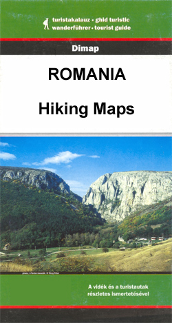
Gilau Mountains at 1:50,000 in a series of detailed contoured maps covering popular hiking areas of Transylvania published by Dimap, one of Hungary’s leading publishers specializing in mapping of that region. The maps show local hiking routes and provide tourist information such as campsites, places of interest, etc. Many titles include street plans and/or English
China South Gizi Map
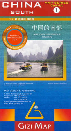
Southern China at 1:2,000,000 on an indexed road map from Gizi Map with altitude colouring to show the region’s topography. Coverage extends north to Shanghai and Nanjing. Names of larger towns and the provinces are also given in Chinese.The map has bold altitude colouring, with spot heights and names of mountain ranges and other geographical
Giurgeu and Hasmas Mountains Dimap Hiking Map
Gurgiu and Hasmas Mountains at 1:60,000 in a series of detailed contoured maps covering popular hiking areas of Transylvania published by Dimap, one of Hungary’s leading publishers specializing in mapping of that region. The maps show local hiking routes and provide tourist information such as campsites, places of interest, etc. Many titles include street plans
China Central Gizi Map
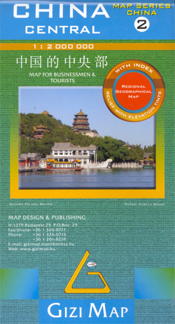
Central China in a series of five indexed maps at 1:2,000,000 from Gizi Map with attractive presentation of the country`s varied topography. Bold altitude colouring, with spot heights and names of mountain ranges and other geographical features, provides an excellent picture of the terrain. The maps in this series show various categories of roads including
Bihor Mountains Dimap Hiking Map

Bihor Mountains at 1:60,000 in a series of detailed contoured maps covering popular hiking areas of Transylvania published by Dimap, one of Hungary’s leading publishers specializing in mapping of that region. The maps show local hiking routes and provide tourist information such as campsites, places of interest, etc. Many titles include street plans and/or English
China Northeast Gizi Map
North-eastern China in a series of five indexed maps at 1:2,000,000 from Gizi Map with attractive presentation of the country`s varied topography. Bold altitude colouring, with spot heights and names of mountain ranges and other geographical features, provides an excellent picture of the terrain. The maps in this series show various categories of roads including
Libya Geographical Map
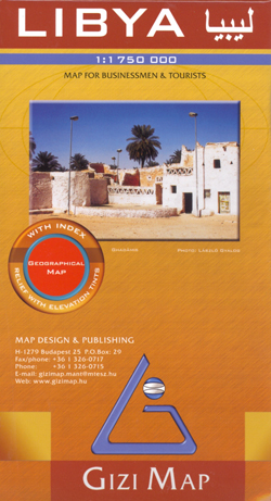
Libya at 1:1,750,000 on an indexed map from Gizi Map with bold altitude colouring to show its physical geography, oil and gas wells and pipelines, water aqueducts, ancients sites and other places of interest, etc. Names of larger towns and selected smaller locations, as well as of many topographic features are also shown in Arabic.The
Algeria Gizi Geographical Map
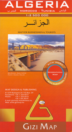
Algeria at 1:2,500,000 in a geographical version from Gizi Map, with bright altitude colouring vividly presenting the country’s topography. Names of larger towns, provinces and selected topographic features are also shown in the Arabic alphabet; all other place names are in the Latin alphabet. Where appropriate, alternative versions of place names are also provided (Oran/Wahran,
Mongolia (Geographical Edition)

Mongolia at 1:2,000,000 on an indexed map from Gizi Map with its road network shown on the base with bold altitude colouring indicating its physical geography. The map includes a street plan of central Ulaanbaatar annotated with hotels and places of interest. Names of larger towns and selected smaller locations, as well as of many
China Administrative Gizi Map
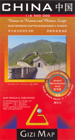
An administrative map of China at 1:6,500,000 from Gizi Map showing the division of the country into provinces. All place names are given in both Chinese and Latin alphabet. Hong Kong and the Pearl River Delta are presented in a greater detail on an inset. China’s provinces are shown in bright contrasting colours. Town symbols
India Gizi Road Map
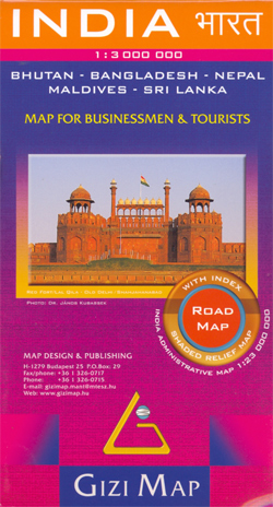
A detailed and attractive general map showing relief through hill-shading, with an inset administrative map also included. Coverage extends beyond India to include the whole of Nepal, Bangladesh and large sections of Myanmar, Pakistan and Afghanistan. The Maldives, Andaman & Nicobar Islands and Eastern India (Assam & surroundings) are shown in insets. Selected peak heights
Mongolia Gizi Road Map
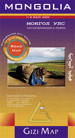
Mongolia at 1:2,000,000 on an indexed map from Gizi Map with its road network presented on a base with relief shading showing the country’s physical geography. Names of larger towns and selected smaller locations, as well as of many topographic features are also shown in Cyrillic alphabet.The map provides a very fine presentation of the
Transylvania South-Eastern Gizi Map

The eastern part of Transylvania on a detailed, indexed road at 1:200,000 from Gizi Map, with bold altitude colouring and spot heights providing an excellent presentation of the topography of this fascinating region. Plenty of names of mountain ranges are provided and national parks or protected areas are marked.Road network includes minor roads and tracks,
Gurghiu Mountains Northern and Central Dimap Hiking Map

Gurghiu Mountains Northern and Central at 1:60,000 in a series of detailed contoured maps covering popular hiking areas of Transylvania published by Dimap, one of Hungary’s leading publishers specializing in mapping of that region. The maps show local hiking routes and provide tourist information such as campsites, places of interest, etc. Many titles include street
Parang Mountains Dimap Hiking Map
Parang Mountains at 1:60,000 in a series of detailed contoured maps covering popular hiking areas of Transylvania published by Dimap, one of Hungary’s leading publishers specializing in mapping of that region. The maps show local hiking routes and provide tourist information such as campsites, places of interest, etc. Many titles include street plans and/or English
Tarcau Mountains and Ghimes Dimap Hiking Map

Tarcau Mountains and Ghimes area at 1:60,000 in a series of detailed contoured maps covering popular hiking areas of Transylvania published by Dimap, one of Hungary’s leading publishers specializing in mapping of that region. The maps show local hiking routes and provide tourist information such as campsites, places of interest, etc. Many titles include street
Rarau-Giumalau Mountains and Bucovina Monasteries Dimap Hiking Map

Rarau-Giumalau Mountains and Bucovina Monasteries at 1:70,000 in a series of detailed contoured maps covering popular hiking areas of Transylvania published by Dimap, one of Hungary’s leading publishers specializing in mapping of that region. The maps show local hiking routes and provide tourist information such as campsites, places of interest, etc. Many titles include street
Algeria (Road Edition)

Algeria at 1:2,500,000 in a road map version from Gizi Map, with relief shading used to present the country’s topography. Names of larger towns, provinces and selected topographic features are also shown in the Arabic alphabet; all other place names are in the Latin alphabet. Where appropriate, alternative versions of place names are also provided
Gerecse Cartographia Tourist Map 10
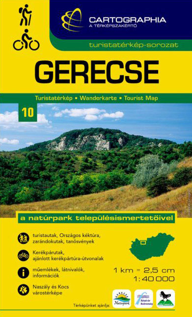
Gerecsein a series of contoured hiking and recreational maps from the Budapest based Cartographia, with hiking routes and other tourist information, including in many titles street plans, cycling trails, etc. The maps have contours at 10m intervals with relief shading and spot heights, plus colouring and/or graphics to indicate different types of vegetation. An overprint


