Category Archives: Maps
Braunton & Ilfracombe Cycle Map 60 – with Tarka Trail & Barnstaple
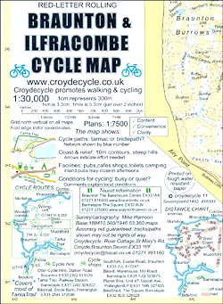
Braunton and Ilfracombe Cycle Map at 1:30,000 from Croydecycle covering the northern coast of Devon between Combe Martin and Bideford; handy size, double-sided, contoured, printed on light waterproof and tear-resistant synthetic paper and showing National Cycle routes and numerous local facilities, including campsites, pubs, etc.Topography is indicated by contours at 10m intervals, with colouring for

Hartland & Clovelly Walking Map 11
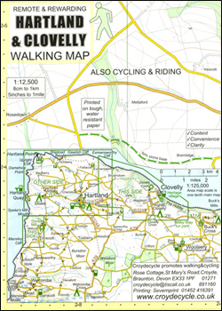
Hartland and Clovelly area of northern Devon on a very detailed, GPS compatible hiking, cycling and horse riding map from Croydecycle at 1:12,500, printed on light, waterproof and tear-resistant synthetic paper. The map is part of publishers’ series covering the western coast of Somerset, both coastlines of Devon, and the adjoining areas of Dorset. Each
Horner & Dunkery Walking Map 03
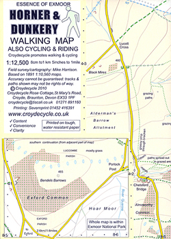
Horner and Dunkery area on the western coast of Somerset and the edge of Exmoor on a very detailed, GPS compatible hiking, cycling and horse riding map from Croydecycle at 1:12,500, printed on light, waterproof and tear-resistant synthetic paper. The map is part of publishers’ series covering the western coast of Somerset, both coastlines of
North Devon Cycling Map 82

The northern half of Devon at 1:100,000 on a handy size, 50x35cm, double-sided contoured map from Croydecycle, printed on waterproof and tear-resistant synthetic paper and showing National Cycle routes and numerous local facilities, including campsites, pubs, etc. Coverage extends along the northern coast from the Somerset border to Clovelly, with the Harland area to the
South Devon Cycling Map 83
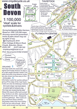
The southern half of Devon at 1:100,000 on a handy size, 50x35cm, double-sided contoured map from Croydecycle, printed on waterproof and tear-resistant synthetic paper and showing National Cycle routes and numerous local facilities, including campsites, pubs, etc. Coverage extends southwards from Exeter and Okehampton. Contours are at 30m intervals, with colouring for woodlands (indicating those
Topographical Map of the Lake District – Wainwright Fells
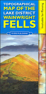
The fells of the Lake District shown on a contoured map at 1:100,000 approx. from Rivers Publishing, with on the reverse side tables showing the 214 fells grouped by location and each presented with its height and a column so the user can record the date climbed or other personal notes. Coverage extends from the
Kerry County
County Kerry at 1:100,000 in a series of double-sided, GPS-compatible maps from Xploreit Maps, with contours, altitude colouring, hiking trails and cycling routes, and printed on light, waterproof and tear-resistant plastic paper.Topography is shown by altitude colouring with contours (interval varies) and plenty of names of geographical features. Road network includes local secondary roads and
Cork County
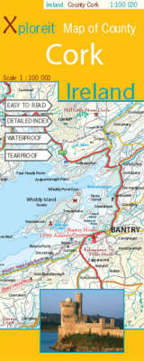
County Cork at 1:100,000 in a series of double-sided, GPS-compatible maps from Xploreit Maps, with contours, altitude colouring, hiking trails and cycling routes, and printed on light, waterproof and tear-resistant plastic paper.Topography is shown by altitude colouring with contours (interval varies) and plenty of names of geographical features. Road network includes local secondary roads and
Galway County
Galway County at 1:100,000 in a series of double-sided, GPS-compatible maps from Xploreit Maps, with contours, altitude colouring, hiking trails and cycling routes, and printed on light, waterproof and tear-resistant plastic paper.Topography is shown by altitude colouring with contours (interval varies) and plenty of names of geographical features. Road network includes local secondary roads and
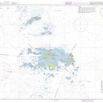
Spitsbergen Explorer
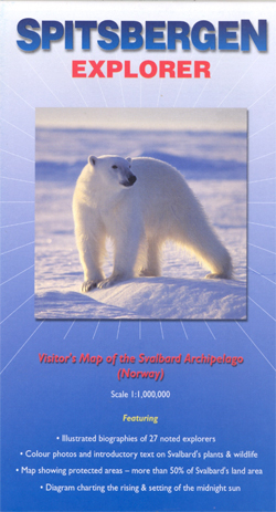
Svalbard archipelago, including Kvitรธya, Kong Karls Land, and Bjรธrnรธya (Bear Island) at 1:1,000,000 approx. on a tourist map with extensive additional information, photos of fauna and flora, biographies of explorers, etc.On one side is a map of the whole Svalbard group with Bjรธrnรธya shown as an inset, showing settlements and naming numerous topographic features such
Clare County
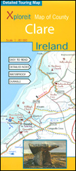
County Clare at 1:80,000 in a series of double-sided, GPS-compatible maps from Xploreit Maps, with contours, altitude colouring, hiking trails and cycling routes, and printed on light, waterproof and tear-resistant plastic paper.Topography is shown by altitude colouring with contours (interval varies) and plenty of names of geographical features. Road network includes local secondary roads and
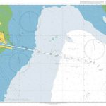
Caribbean Islands Explorer
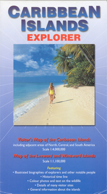
A title designed to provide general introduction to the Caribbean, with more historical than geographical information, on an overview map of the whole region at 1:4,000,000 plus an enlargement at 1:1,000,000 covering the Leeward and the Windward Islands. Main towns are marked with, where possible on larger islands, some roads and spot height for main
Mayo and Sligo Xploreit Counties Map
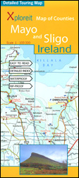
Counties Mayo and Sligo at 1:100,000 in a series of double-sided, GPS-compatible maps from Xploreit Maps, with contours, altitude colouring, hiking trails and cycling routes, and printed on light, waterproof and tear-resistant plastic paper. Insets show street plans of own centres of Sligo and Westport annotated with places of interest.Topography is shown by altitude colouring
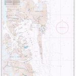
Falkland Islands Explorer
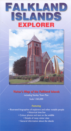
Falkland Islands at 1:365,000 on a tourist map showing the islands’ topography, with a street plan of Stanley, descriptions of places of interest, plus extensive text on its history and wildlife, biographies of main explorers, a time line from 1502 to 1999, etc.On one side is a map of the islands at 1:365,000, naming numerous
Gogarth North
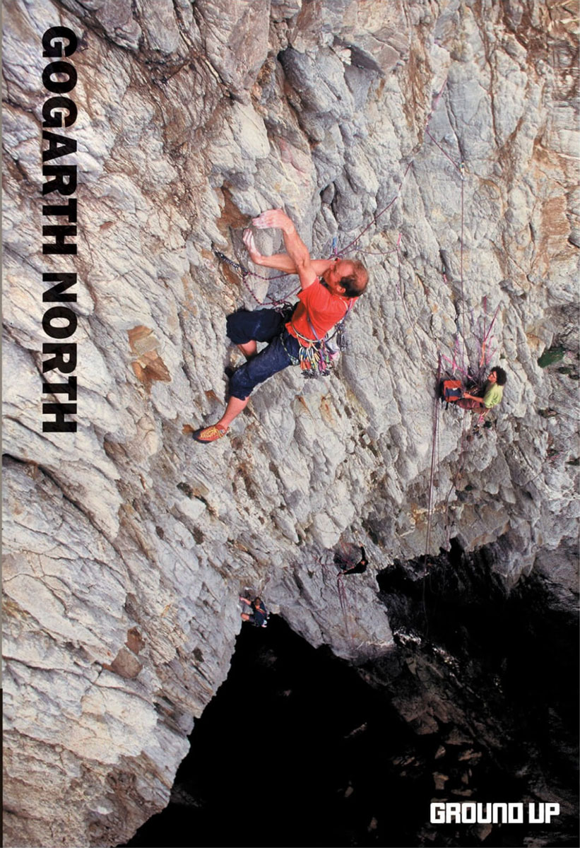
From the team that published the hugely popular North Wales Rock comes this new guide, Gogarth North. The sea cliffs of Gogarth are situated on the western tip of Anglesey and provide an impressive range if exciting `trad` routes – the guide describes 600 routes complimented by full colour photo-diagrams; there are extensive area maps
Antarctic Explorer
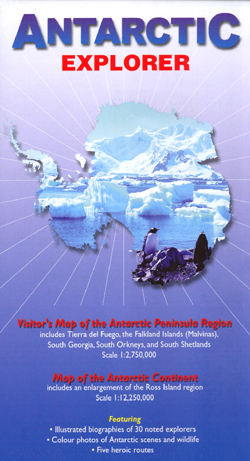
Antarctic Explorer map is a folded map of the continent at a scale of 1:12,250,000 with an enlargement of Ross Island and McMurdo Sound at 1:1,750,000, and with enlargements on the reverse of Graham Land at 1:900,000, South Georgia at 1:800,000, and the South Shetlands and Tierra del Fuego at 1:2,750,000.Antarctic bases and territorial claims
Lake District National Park Aerial Map
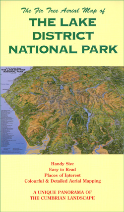
The Fir Tree Aerial Map of the Lake District National Park is a hand-painted, full colour, folded panoramic reference map of the Cumbrian landscape. Cartography has been produced based on a combination of Ordnance Survey maps and aerial photography, using an oblique angle that compresses the scale between the foreground and the horizon.A panorama of
Galapagos Islands Explorer
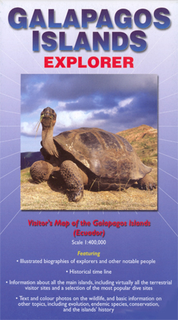
Galapagos Islands on a map from Ocean Explorer Publications with a very extensive guide section providing descriptions of individual islands, historical notes, etc., all illustrated with numerous photos and drawings.On one side is a map showing the whole archipelago at approx. 1:400,000, with the islands topography presented by relief shading, altitude colouring and names of
Scotland & Isle of Man Railway Track Diagrams Book 1
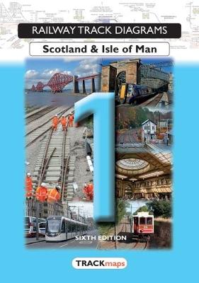
Quail Railway Track Diagrams: Scotland and Isle of Man in a series of six titles divided into the original British Rail regions plus Ireland and showing the entire rail network together with a number of private railways, industrial layouts and London Underground lines.The information included in them is a combination of historical sources, kept up