Category Archives: Maps
Alice Springs to Boulia
Alice Springs to Boulia route in a series of spiral-bound atlases from Design Interaction showing routes across Australia’s Northern Territory with GPS coordinates and accompanied by information about local facilities, useful tips and colour photos. The atlas has a latitude and longitude grid at intervals of 5’.Each atlas in this series presents the route on
Oodnadatta to Alice Springs
Oodnadatta to Alice Springs route in a series of spiral-bound atlases from Design Interaction showing routes across Australia’s Northern Territory with GPS coordinates and accompanied by information about local facilities, useful tips and colour photos. The atlas has a latitude and longitude grid at intervals of 5’.Each atlas in this series presents the route on
Costa Rica Travel Map
Costa Rica at 1:470,000 on a tourist map from Toucan Maps printed on light, waterproof and tear-resistant synthetic paper, with an exceptionally wide range of symbols presenting various places of interest, opportunities for recreational pursuits and tourist facilities, particularly in the country’s main towns and holiday resorts.On one side is a map of the whole
Blur Ridge Parkway: Northern Section
The northern section of the Blue Ridge Parkway and the surrounding area of the Appalachian Mountains on a double-sided map at 1:135,000 approx. from Outdoor Paths Publishing highlighting facilities along the route. The map covers the first part of the Parkway, from Milepost 0 to 123.Topography of the area is shown by relief shading based
Blur Ridge Parkway Southern Section
The northern section of the Blue Ridge Parkway and the surrounding area of the Appalachian Mountains on a double-sided map at 1:135,000 approx. from Outdoor Paths Publishing highlighting facilities along the route. The map covers the first part of the Parkway, from Milepost 0 to 123.Topography of the area is shown by relief shading based
Banff – Yoho & Kootenay NP Recreation Map & Visitor Guide
Banff National Park with the adjoining Yoho and Kootenay National Parks on a contoured overview map at 1:250,000 from Gem Trek Publishing showing locations of various tourist facilities and main hiking trails, plus extensive notes on the reverse about the park and what it has to offer.The map fills a gap between the publishers’ overview
DARTMOOR CLIMBERS CLUB
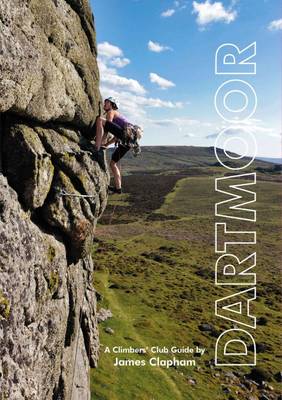
The definitive Dartmoor guide from the Climbers Club is packed with tongue-in-cheek Devonian wit and banter plus some 600 routes and 1200 boulder problems with full photo-topos. These are partnered with stunning action shots showcasing this unique and fantastic area at its finest.This title has not yet been released. You may pre-order now and we
Rome Adventure Walks Map
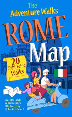
Central Rome on a street plan highlighting recommended sightseeing walks and the city’s numerous places of interest, including attractions specially selected to entertain children.On one side is a plan of central Rome: roughly from the Termini railway station to the Vatican and the Trastevere district, and from Villa Borghese to the Circus Maximus and the
Morocco Rock: The Anti-Atlas

The Anti-Atlas, by Morocco Rock, is the latest selected climbs guide to Morocco`s winter sun trad climbing destination, featuring the very best routes to be found in the region around the busy market town of Tafraout, and only a couple of hours from Agadir airport.This revised and updated guide documents a colossal 1700 routes on
London – Land`s End Cycle Route: Beautiful Cycling Across Southern England
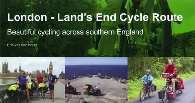
This king of guidebooks takes you onto a unique trail of traffic-calmed cycle routes in southern England from London to Land`s End; ideal if you love cycling, but don`t like traffic! A variety of landscapes, a high density of famous English landmarks and word-class cycle routes like the Bristol and Bath Railway Path, Camel Trail,
Cycling in Amsterdam and the Netherlands: The Very Best Routes in the Cyclist`s Paradise
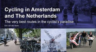
There is no happier cyclist than a Dutch cyclist. This is not only because The Netherlands is mainly flat, but also because the Dutch enjoy the most extensive cycle network in the world. Amsterdam is famous for its cyclists and with this guidebook you`ll cycle on those routes the locals love themselves. Whether you are
Escaping London Pocket Map/Guide: a Pre-Raphaelite Pilgrimage Route
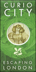
Escaping London Pocket Map/Guide from Curio-City presenting a 13-mile Pre-Raphaelite Pilgrimage Route from London Bridge to William Morris`s Red House in Bexleyheath. On one side the route is highlighted on four panels of street plans, with brief descriptions of various interesting points including the famous George Inn, Greenwich Park, the tomb of Christophe Marlowe in
Curiocity F – Fictional London
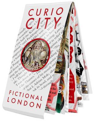
Escaping London Pocket Map/Guide from Curio-City presenting a 13-mile Pre-Raphaelite Pilgrimage Route from London Bridge to William Morris`s Red House in Bexleyheath. On one side the route is highlighted on four panels of street plans, with brief descriptions of various interesting points including the famous George Inn, Greenwich Park, the tomb of Christophe Marlowe in
Zambia InfoMap
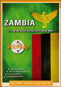
Zambia on a double-side road map from South African publishers International Motoring Productions with GPS waypoints for selected road junctions, small towns or settlements, places of interest and recommended accommodation.The map, one of a series of similar maps covering countries and selected regions of southern Africa, has rather simple cartography with somewhat basic elevation tinting,
Drakensberg and the Eastern Free State
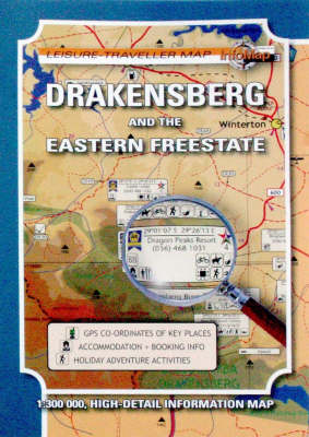
Drakensgerg and the Eastern Free State in a series of double-sided touring maps with GPS coordinates for selected road junctions, villages and accommodation. Rather basic cartography, with bold elevation tinting, spot heights and rivers (often without names), is designed to highlight the road network and the coordinates provided on the maps. Each map gives GPS
Kruger National Park
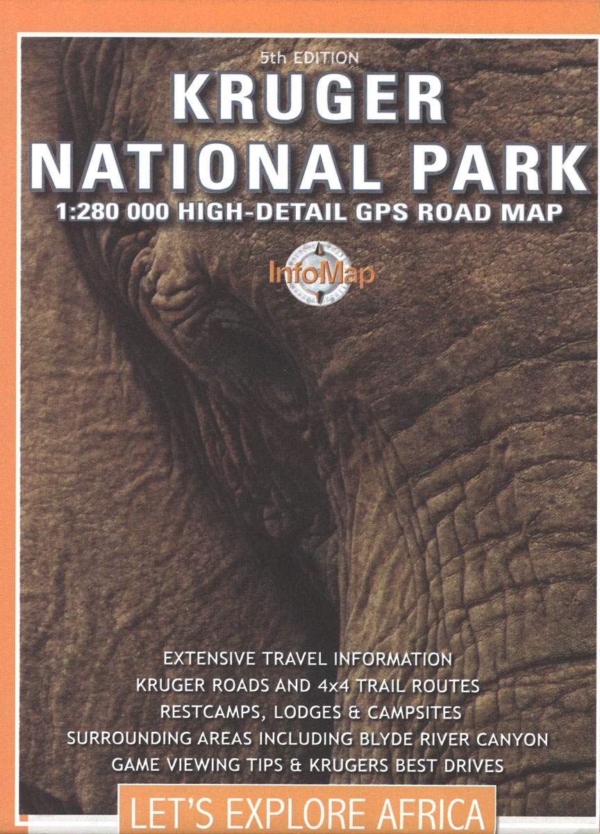
Kruger National Park in a series of double-sided touring maps of popular tourist regions of South Africa, with GPS coordinates for selected road junctions, villages and accommodation. Rather basic cartography, with bold elevation tinting, spot heights and rivers (often without names), is designed to highlight the road network and the coordinates provided on the maps.
Swaziland
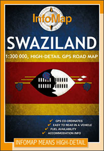
Swaziland on a double-side road map from South African publishers International Motoring Productions with GPS waypoints for selected road junctions, small towns or settlements, places of interest and recommended accommodation.The map, one of a series of similar maps covering countries and selected regions of southern Africa, has rather simple cartography with somewhat basic elevation tinting,
Future Map Company Commemorative Olympic Games World Wall Map ENCAPSULATED WITH HANGING-STRIPS
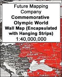
World Commemorative Olympic Games Political Wall Map from the Future Mapping Company, size 101.5 x 59.5cm / 40″ x 23.5″ approx ‘“ encapsulated version with hanging strips, printed in the colours of the five Olympic rings and highlighting the host cities from Athens in 1896 to Rio de Janeiro in 2016. Published to coincide with
Megaliesberg – Pilanesberg and the Waterberg
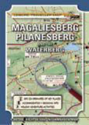
Megaliesberg – Pilanesberg and the Waterberg in a series of double-sided touring maps with GPS coordinates for selected road junctions, villages and accommodation. Rather basic cartography, with bold elevation tinting, spot heights and rivers (often without names), is designed to highlight the road network and the coordinates provided on the maps. Each map gives GPS