Category Archives: Maps
La Dolce Vita Red Maps Set
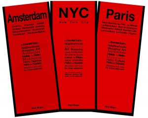
Set of 4 City Guides to Rome, Florence, Venice and MilanFour complete guides to Italy`s most beautiful cities. From eternal Rome to the floating city of Venice, the always chic Milan and the birthplace of the Renaissance, Florence. Attractions on the maps include our curated lists of hotels, boutiques, museums (with collection highlights) galleries, theatre,
Seattle WA Red Maps
From Lake Union to Pike Place and Pioneer Square, the Red Map covers the important and emerging neighborhoods, with insert maps of the University of Washington s district and Elliott Bay with Bainbridge Island. The guide captures the energy and excitement of this youthful city.Concise lists of the best shopping, hotels and dining; helpful descriptions
In the Forbidden City

“Readers become tourists as each page turn provides views into labyrinthine courtyards and palaces once reserved for imperial China`s emperors (…) An impressive introduction to the Forbidden City.” – KirkusServing as the seat of imperial power for six centuries, the Forbidden City is one of China`s most famous and enigmatic landmarks. Accompanied by a mischievous
Yosemite Valley
Yosemite Valley on a light, waterproof and tear-resistant, contoured and GPS compatible map at 1:24,000 from Tom Harrison. Coverage is centred on the Valley Visitor Centre and extends from the Pohono Bridge in the west to the Moraine Dome east of the Little Valley Ranger Station. Contour interval is 40 feet (12 metre approx.), enhanced
Yosemite Valley Free Climbs
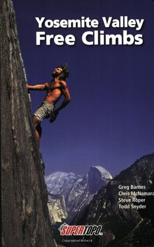
From 16-pitch trad climbs to one-pitch sport routes, here are more than 230 of the best routes in Yosemite Valley, with detailed topos to topropes, cragging, and multi-pitch climbs in the 5.4 to 5.9 range. You`ll find the classic Yosemite challenges plus little-known climbs where you can avoid the crowds. The authors have personally climbed
Australia Wine Map
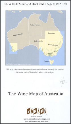
A Wine Map of Australia prepared by Max Allen showing the official classification of the wine growing areas of the country. Coverage extends from the south-eastern part of South Australia, including the Kangaroo Island, the Southern Flinders Ranges and vineyards in the environs of Adelaide, across Victoria and New South Wales, to the South Burnett
Spain and Portugal De Long Wine Wall Map
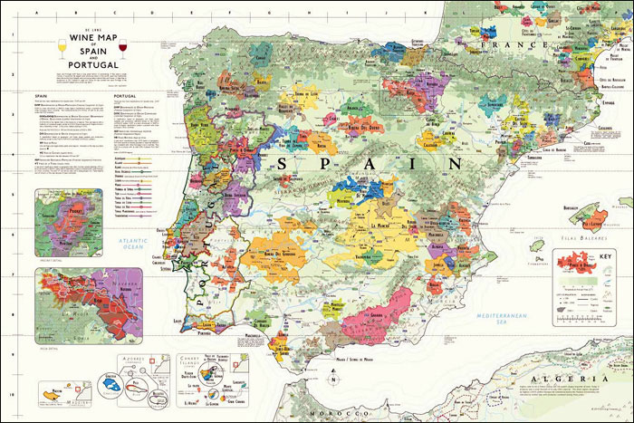
Wine wall map of Spain and Portugal from De Long Company, size 92x61cm / 24″x36″, presenting in an attractive pastel colouring wine regions according to their official classifications: in Spain DOP with sub-divisions into DOCa/DOQ, DO, VP and VC, plus IGP and VT, and in Portugal DOP, DOC, IGP and VR. The legend provides explanations
Binns Track
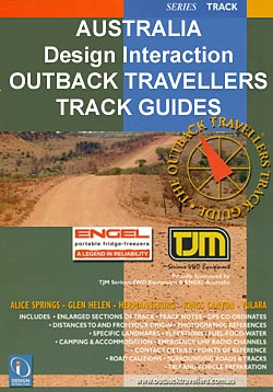
Binns Track route in a series of spiral-bound atlases from Design Interaction showing routes across Australia’s Northern Territory with GPS coordinates and accompanied by information about local facilities, useful tips and colour photos. The atlas has a latitude and longitude grid at intervals of 5’.Each atlas in this series presents the route on a plain
California De Long Wine Wall Map
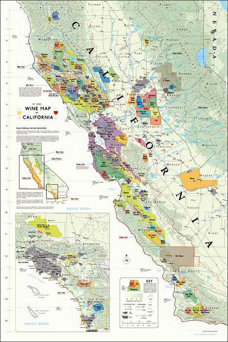
California Wine Wall Map from De Long Company, size 61 x 92 cm / 24″ x 36″, presents in an attractive pastel colouring the state’s officially designated AVA (American Viticultural Areas) winegrowing regions. An overview map of the whole state shows which two parts of it are presented in detail on the main panels at
Litchfield National Park to Darwin
Litchfield National Park to Darwin route in a series of spiral-bound atlases from Design Interaction showing routes across Australia’s Northern Territory with GPS coordinates and accompanied by information about local facilities, useful tips and colour photos. The atlas has a latitude and longitude grid at intervals of 1’.Each atlas in this series presents the route
Grand Canyon
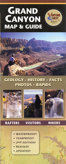
Waterproof and tear-resistant map guide of the Grand Canyon at 1:500,000 from Dragon Creek Publishing, with an enlargement of the North Rim at 1:70,000 on the reverse. Both sides of the map display information about the geology, history and other facts of the Grand CanyonThe main map at 1:500,000 covers from Lake Powell to Lake
Yorke Peninsula SA
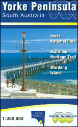
Yorke Peninsula in South Australia on an indexed touring map at 1:350,000 from Carto Graphics, with on the reverse enlargements showing in greater detail the Innes National Park and Warding Island. Coverage extends north to Port Broughton and east to include Adelaide and the coast to the north of the city.On one side is a
Eyre Peninsula, SA
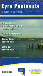
Eyre Peninsula in South Australia on a touring map at 1:600,000 from Carto Graphics, with on the reverse enlargements showing in greater detail The Lincoln National Park, Coffin Bay NP and the Gawler Ranges NP. Coverage extends east to include the Yorke Peninsula and Port Augusta, with to the west the Nullarbor Plain as far
Murray River and Mallee, SA
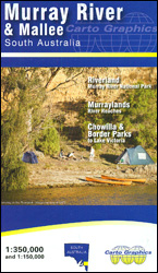
The Murray River and the Mallee region of South Australia from Lake Victoria in NSW to Lake Alexandrina on an indexed touring map at 1:350,000 from Carto Graphics, with on the reverse the area along the river presented in greater detail on nine panels at 1:150,000.On one side is a regional map at 1:350,000 extending
Limestone Coast, SA
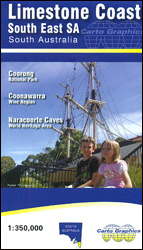
The Limestone Coast of South Australia, just south of Adelaide, on an indexed touring map at 1:350,000 from Carto Graphics, with an enlargement showing the Coonwarra Wine Region with locations of numerous ‘cellar doors”, plus a distance table.The main map covers an area from Lake Alexandrina to Casterton across the border in Victoria. Roads indicate
Alice Springs to Boulia
Alice Springs to Boulia route in a series of spiral-bound atlases from Design Interaction showing routes across Australia’s Northern Territory with GPS coordinates and accompanied by information about local facilities, useful tips and colour photos. The atlas has a latitude and longitude grid at intervals of 5’.Each atlas in this series presents the route on
Oodnadatta to Alice Springs
Oodnadatta to Alice Springs route in a series of spiral-bound atlases from Design Interaction showing routes across Australia’s Northern Territory with GPS coordinates and accompanied by information about local facilities, useful tips and colour photos. The atlas has a latitude and longitude grid at intervals of 5’.Each atlas in this series presents the route on