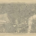
Category Archives: Maps
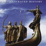
The Rough-Stuff Fellowship Archive: Adventures with the World`s Oldest Off-Road Cycling Club
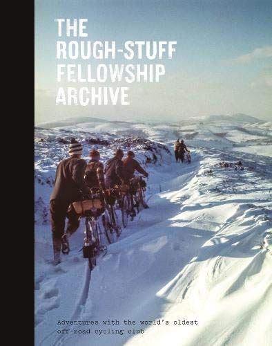
Founded in 1955, the `Rough-Stuff Fellowship` is the world`s oldest off-road cycling club. Its archive contains thousands of stunning images, hand-drawn maps and documents – an unexpected treasure trove of incredible value and beauty that is now being brought to a wider public by Isola Press. The photos are evocative of a bygone age and
National 3 Peaks Challenge Minimaps Set: Ben Nevis, Scafell Pike and Snowdon.
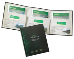
The three peaks which are part of the National Three Peaks Challenge: Ben Nevis, Scafell Pike and Snowdon shown on handy size, waterproof and tear-resistant extracts from the Ordnance Survey 1:25,000 Explorer series. The three maps are sold together in a presentation wallet which also includes brief descriptions and spaces for recording your timings for
Yorkshire 3 Peaks Challenge Minimaps Set: Pen-y-ghent, Whernside and Ingleborough
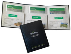
The three peaks which are part of the Yorkshire Three Peaks Challenge: Pen-y-ghent, Whernside and Ingleborough shown on handy size, waterproof and tear-resistant extracts from the Ordnance Survey 1:25,000 Explorer series. The three maps are sold together in a presentation wallet which also includes brief descriptions and spaces for recording your timings for each route.The
Lancashire Bouldering
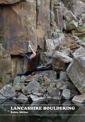
Lancashire Bouldering is the very first guidebook to the bouldering in Lancashire and Greater Manchester. It covers 47 venues in three unique areas: the Bowland fells, the southern quarries and the East Lancashire moors. Alongside full coverage of classic venues like Brownstones, Craig Y Longridge and Thorn Crag, there is also detailed coverage of many
Lake District – Wainwright Fells & Tick List GuideUs Wall Map LARGE
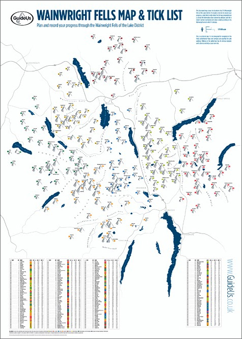
The Wainwright Fells with a Tick List Wall Map from GuideUs, in a larger size poster version (59.5x84cm / 23.5″x33″ approx), showing the Wainwright Fells divided into seven areas according to the classic series of guides by Alfred Wainwright: Eastern, Far Eastern, Central, Southern, Northern, North Western and Western Fells. Each area is clearly defined
Lake District – Wainwright Fells & Tick List GuideUs Wall Map SMALL

The Wainwright Fells with a Tick List Wall Map from GuideUs, in a smaller size A2 poster version (42×59.5cm / 16.5″x23.5″ approx), showing the Wainwright Fells divided into seven areas according to the classic series of guides by Alfred Wainwright: Eastern, Far Eastern, Central, Southern, Northern, North Western and Western Fells. Each area is clearly
The English Teacher`s Guide to China

For any English teacher, prospective or current, who is looking to make the most of their time teaching in China, there is no better tool than Panda Guides` The English Teacher`s Guide to China. The Middle Kingdom is one of the most fascinating and exotic places any Westerner can travel to. And that means things
Mozambique & Malawi Tracks4Africa
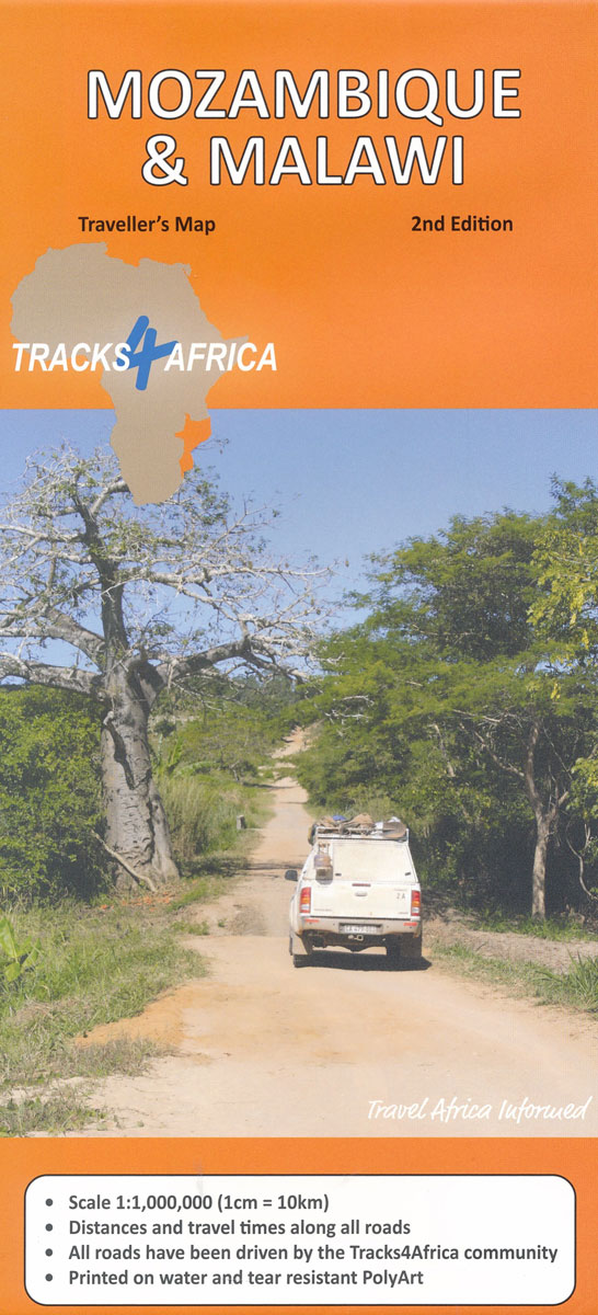
Mozambique and Malawi at 1:1,000,000 on a large, double-sided map from Tracks4Africa: GPS compatible, with roads and tracks showing both driving times and distances, and printed on light, waterproof and tear-resistant plastic paper.The map divides the region north/south with a small overlap between the sides, with the whole of Malawi and northern Mozamboque on one
Namibia Tracks4Africa
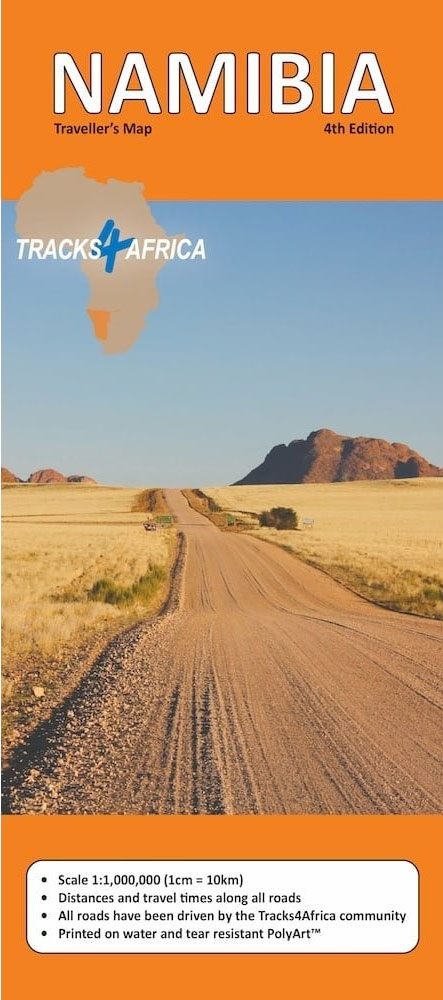
Namibia at 1:1,000,000 on a large, double-sided map from Tracks4Africa: GPS compatible, with roads and tracks showing both driving times and distances, two city maps, and printed on light, waterproof and tear-resistant plastic paper.The map divides the country north/south with a generous overlap and Windhoek included on both sides. The Caprivi Strip is shown as
Kakadu National Park
Kakadu National Park route in a series of spiral-bound atlases from Design Interaction showing routes across Australia’s Northern Territory with GPS coordinates and accompanied by information about local facilities, useful tips and colour photos. The atlas has a latitude and longitude grid at intervals of 5’.Each atlas in this series presents the route on a
Botswana Tracks4Africa
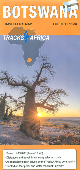
Botswana at 1:1,000,000 on a large, waterproof and tear-resistant map from Tracks4Africa, with roads and tracks showing both driving times and distances, plus on the reverse GPS compatible enlargements of eight most visited protected area and/or towns and extensive advice about driving in Botswana.On one side is a map of the whole country at 1:1M,
Canning Stock Route Design Interaction Guide
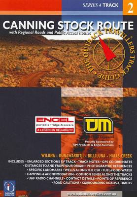
Oodnadatta to Alice Springs route in a series of spiral-bound atlases from Design Interaction showing routes across Australia’s Northern Territory with GPS coordinates and accompanied by information about local facilities, useful tips and colour photos. The atlas has a latitude and longitude grid at intervals of 5’.Each atlas in this series presents the route on
Cape York Design Interaction Guide
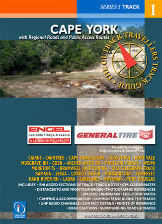
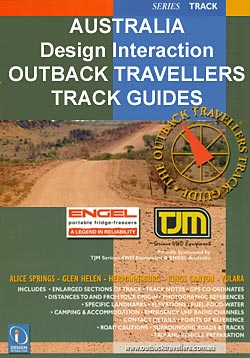
For the traveller and explorer in us, this track guide provides a unique visual reference for both novice and experienced individuals, families and groups. Using photography, track notes and mapping, the Outback Travellers Track Guide is a companion to sheet maps, offering a closer look at what is out there, where to find it and
Mojave National Preserve

High quality relief shaded topographic trekking map. Trails are clearly marked with distances between junctions shown in miles. Clear contours at 200ft intervals, vegetation information and symbols to show the location of various features and facilities of use to hikers, such as ranger stations and campsites. To ensure durability the map is printed upon special
Marrakech – Medina Street Plan
The Medina of Marrakesh, the city’s historic heart, on a large, well-presented and very detailed street plan from Medinacarte with a wealth of tourist information, including locations of over 600 hotels and guesthouses, individual souks annotated to show what types of goods are sold there, etc.Unlike other maps of Marrakesh, this plan names not only
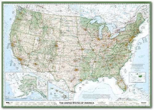
USA – the Essential Geography of the United States of America
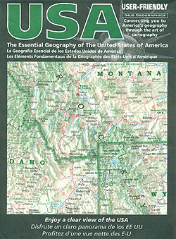
USA: The Essential Geography of the United States of America Map at 1:4,000,000 from Imus Geographics is designed to present the country with the division into states, geographical features such as the Rockies or the Appalachians, national parks and other protected area, Indian reservations, as well as the network of main roads. Alaska (at 1:9,000,000)
Marrakech – Medina Mini Map
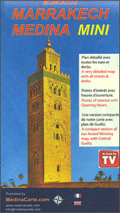
The Medina of Marrakesh, the city’s historic heart, on a handy size, well-presented and very detailed, double-sided street plan from Medinacarte with a wealth of tourist information, including locations of main hotels, individual souks annotated to show what types of goods are sold there, etc.Unlike other maps of Marrakesh, this plan names not only the
USA: The Essential Geography of the United States of America Wall Map PAPER
USA: The Essential Geography of the United States of America Wall Map at 1:4,000,000 from Imus Geographics, size 127 x 90cm (50″ x 35.5″ approx) ‘“ paper version, designed to present the country with the division into states, geographical features such as the Rockies or the Appalachians, national parks and other protected area, Indian reservations,
USA: The Essential Geography of the United States of America Wall Map ENCAPSULATED
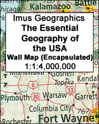
USA: The Essential Geography of the United States of America Wall Map at 1:4,000,000 from Imus Geographics, size 127 x 90cm (50″ x 35.5″ approx) ‘“ encapsulated version, designed to present the country with the division into states, geographical features such as the Rockies or the Appalachians, national parks and other protected area, Indian reservations,
Rock Climbing Down Under: Australia Exposed
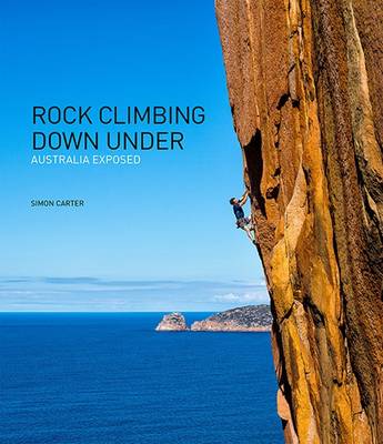
Rock Climbing Down Under: Australia Exposed offers something for everyone that has any affiliation with rock climbing. Photographer Simon Carter completely suspends us in 21 of Australia`s climbing scenes. Accompanying the mesmerizing photography are area introductions and personal stories written by no fewer than 80 climbers. Thread by thread, the climbers` stories weave a magical