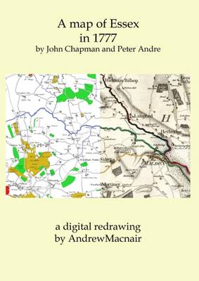
Category Archives: Maps
The Caucasus: A History
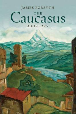
A fascinating new survey of the Caucasus which provides a unified narrative history of this complex and turbulent region at the borderlands of Europe, Asia and the Middle East, from prehistory to the present. For thousands of years the Caucasus has formed a hub of intersecting routes of migration, invasion, trade and culture and a
Amurath to Amurath
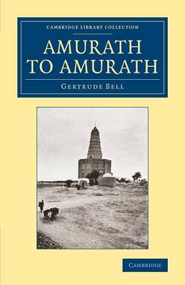
Traveller, archaeologist, mountaineer and diplomat, Gertrude Bell (1868-1926) poured her extraordinary talents into a series of adventures through Europe and the Middle East. Addressing her experiences in Persia and Syria respectively, Safar Nameh (1894) and The Desert and the Sown (1907) are both reissued in this series. The present work, first published in 1911 and
Kieldrecht- Doel
Topographical survey of Belgium at 1:20,000 from Nationaal Geografisch Instituut / Institut Gรฉographique National, the country’s national survey organization. Each 20K map covers one quarter of the corresponding 1:50,000 map (with adjustments in the border and coastal areas). The maps provide all the information expected of topographic mapping at this scale and additionally have an
Dendermonde – St-Amands
Topographical survey of Belgium at 1:20,000 from Nationaal Geografisch Instituut / Institut Gรฉographique National, the country’s national survey organization. Each 20K map covers one quarter of the corresponding 1:50,000 map (with adjustments in the border and coastal areas). The maps provide all the information expected of topographic mapping at this scale and additionally have an
Lebbeke – Merchtem
Topographical survey of Belgium at 1:20,000 from Nationaal Geografisch Instituut / Institut Gรฉographique National, the country’s national survey organization. Each 20K map covers one quarter of the corresponding 1:50,000 map (with adjustments in the border and coastal areas). The maps provide all the information expected of topographic mapping at this scale and additionally have an
Vilvoorde – Zemst
Topographical survey of Belgium at 1:20,000 from Nationaal Geografisch Instituut / Institut Gรฉographique National, the country’s national survey organization. Each 20K map covers one quarter of the corresponding 1:50,000 map (with adjustments in the border and coastal areas). The maps provide all the information expected of topographic mapping at this scale and additionally have an
Boulder Scotland: A Stone Country Bouldering Guide
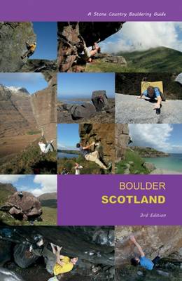
This third edition of the original Stone Country guide to bouldering in Scotland updates the vast geologies available to the travelling boulderer. It is a dedicated and closely edited gazetteer which showcases the newest as well as the classic venues, featuring the top problems. It is the only comprehensive guide to Scottish bouldering which has
Zambia Tracks4Africa
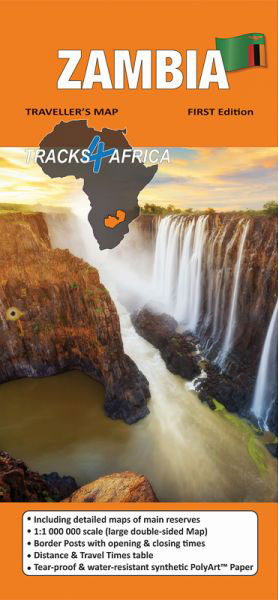
Zambia tourist map at scale 1:1,000,000 (1cm=10km) editing by Tracks4Africa. This waterproof and tear-resistant map is the largest available and the most complete, with a caption providing a wealth of information but also the travel time for all the road network, whether on tarmac, gravel or sand!This map includes, in insets, a map of the
The Climber`s Complete Guide to Dumbarton Rock
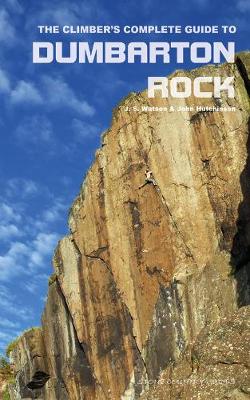
This guide introduces the climber to the bouldering, traditional climbing and sports routes at Dumbarton Rock. Known to locals as `Dumby`, this is lowland Scotland`s premier rock-climbing venue, home to famous routes such as Chemin de Fer, Requiem and Rhapsody, and with a reputation for hard and technical climbing.Dumby also cradles a collection of giant
The Rough-Stuff Fellowship Archive: Adventures with the World`s Oldest Off-Road Cycling Club
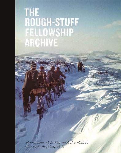
Founded in 1955, the `Rough-Stuff Fellowship` is the world`s oldest off-road cycling club. Its archive contains thousands of stunning images, hand-drawn maps and documents – an unexpected treasure trove of incredible value and beauty that is now being brought to a wider public by Isola Press. The photos are evocative of a bygone age and
National 3 Peaks Challenge Minimaps Set: Ben Nevis, Scafell Pike and Snowdon.
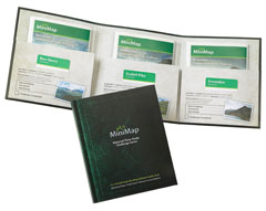
The three peaks which are part of the National Three Peaks Challenge: Ben Nevis, Scafell Pike and Snowdon shown on handy size, waterproof and tear-resistant extracts from the Ordnance Survey 1:25,000 Explorer series. The three maps are sold together in a presentation wallet which also includes brief descriptions and spaces for recording your timings for
Yorkshire 3 Peaks Challenge Minimaps Set: Pen-y-ghent, Whernside and Ingleborough
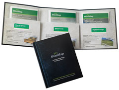
The three peaks which are part of the Yorkshire Three Peaks Challenge: Pen-y-ghent, Whernside and Ingleborough shown on handy size, waterproof and tear-resistant extracts from the Ordnance Survey 1:25,000 Explorer series. The three maps are sold together in a presentation wallet which also includes brief descriptions and spaces for recording your timings for each route.The
Lancashire Bouldering
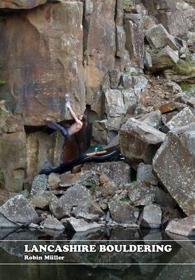
Lancashire Bouldering is the very first guidebook to the bouldering in Lancashire and Greater Manchester. It covers 47 venues in three unique areas: the Bowland fells, the southern quarries and the East Lancashire moors. Alongside full coverage of classic venues like Brownstones, Craig Y Longridge and Thorn Crag, there is also detailed coverage of many
Lake District – Wainwright Fells & Tick List GuideUs Wall Map LARGE
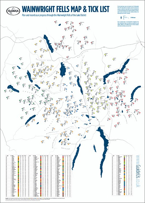
The Wainwright Fells with a Tick List Wall Map from GuideUs, in a larger size poster version (59.5x84cm / 23.5″x33″ approx), showing the Wainwright Fells divided into seven areas according to the classic series of guides by Alfred Wainwright: Eastern, Far Eastern, Central, Southern, Northern, North Western and Western Fells. Each area is clearly defined
Lake District – Wainwright Fells & Tick List GuideUs Wall Map SMALL

The Wainwright Fells with a Tick List Wall Map from GuideUs, in a smaller size A2 poster version (42×59.5cm / 16.5″x23.5″ approx), showing the Wainwright Fells divided into seven areas according to the classic series of guides by Alfred Wainwright: Eastern, Far Eastern, Central, Southern, Northern, North Western and Western Fells. Each area is clearly
Sandstone Way Cycle Route: Berwick-upon-Tweed – Hexham
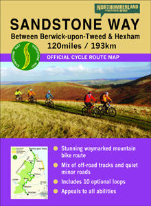
Sandstone Way Cycle Route between Berwick-upon-Tweed and Hexham shown on a 1:50,000 map from Northern Heritage. The 192kms/120 mile route is highlighted on four map panels with topography indicated by altitude colouring in bands of 50m; each panel also has a route profile. Information for the Sandstone Way includes mile markers (plus every 6kms), more
Brutalist London Map
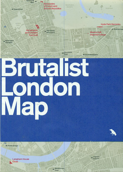
Do you see the beauty in Brutalism? Brutalist London Map, is an architecture guide by Blue Crow Media produced in collaboration with the Twentieth Century Society.This two-sided folding map features over fifty leading examples of Brutalist architecture in London, from the Alexandra Road Estate to World`s End Housing. Celebrated Brutalist buildings such as the Trellick
Art Deco London Map
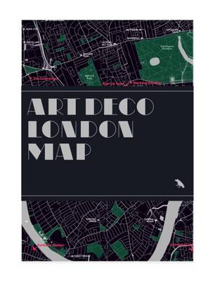
Discover London’s leading examples of Art Deco from fanciful facades to stylish tube stations with this two-sided guide.Includes a map, an introduction to Art Deco, photographs of some of London’s most stylish buildings and details of over seventy listings.
Brutalist Washington Map
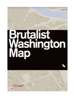
Discover London’s leading examples of Art Deco from fanciful facades to stylish tube stations with this two-sided guide.Includes a map, an introduction to Art Deco, photographs of some of London’s most stylish buildings and details of over seventy listings.