Category Archives: Maps
Ans – Liรจge 20K NGI Belgium Survey Map No. 42/1-2
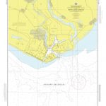
Topographical survey of Belgium at 1:20,000 from Nationaal Geografisch Instituut / Institut Gรฉographique National, the country’s national survey organization. Each 20K map covers one quarter of the corresponding 1:50,000 map (with adjustments in the border and coastal areas). The maps provide all the information expected of topographic mapping at this scale and additionally have an
Dalhem – Herve
Topographical survey of Belgium at 1:20,000 from Nationaal Geografisch Instituut / Institut Gรฉographique National, the country’s national survey organization. Each 20K map covers one quarter of the corresponding 1:50,000 map (with adjustments in the border and coastal areas). The maps provide all the information expected of topographic mapping at this scale and additionally have an
Seraing – Chaudfontaine
Topographical survey of Belgium at 1:20,000 from Nationaal Geografisch Instituut / Institut Gรฉographique National, the country’s national survey organization. Each 20K map covers one quarter of the corresponding 1:50,000 map (with adjustments in the border and coastal areas). The maps provide all the information expected of topographic mapping at this scale and additionally have an
Fleron – Verviers
Topographical survey of Belgium at 1:20,000 from Nationaal Geografisch Instituut / Institut Gรฉographique National, the country’s national survey organization. Each 20K map covers one quarter of the corresponding 1:50,000 map (with adjustments in the border and coastal areas). The maps provide all the information expected of topographic mapping at this scale and additionally have an
Welkenraedt – Kelmis (La Calamine)
Topographical survey of Belgium at 1:20,000 from Nationaal Geografisch Instituut / Institut Gรฉographique National, the country’s national survey organization. Each 20K map covers one quarter of the corresponding 1:50,000 map (with adjustments in the border and coastal areas). The maps provide all the information expected of topographic mapping at this scale and additionally have an
Petergensfeld – Lammersdorf
Topographical survey of Belgium at 1:20,000 from Nationaal Geografisch Instituut / Institut Gรฉographique National, the country’s national survey organization. Each 20K map covers one quarter of the corresponding 1:50,000 map (with adjustments in the border and coastal areas). The maps provide all the information expected of topographic mapping at this scale and additionally have an
Kolkata Calcutta: Some Kind of Beauty
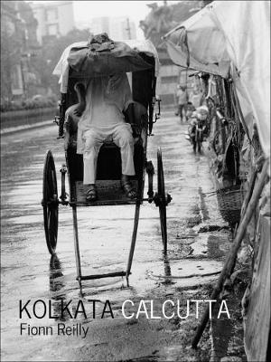
Kolkata Calcutta is a superb collection of classic black-and-white, and colour photographs of one the world`s most enthralling and mysterious cities as revealed through the lens of photographer Fionn Reilly.Inspired by the films of Kolkata`s celebrated director Satyajit Ray and the great Indian photographer Raghubir Singh, Reilly`s images capture an intense city that exudes a
Dublin Red Maps
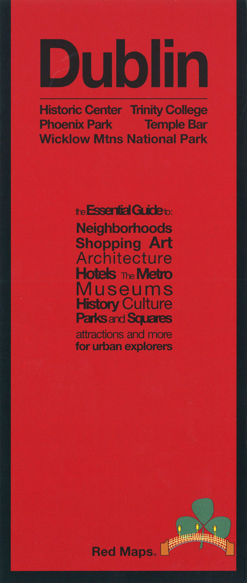
Dublin with an enlargement for its historic centre on a tourist street plan from Red Maps presented in a handy concertina format and printed on thick high quality paper, with thematic indexes for sights, hotels, shopping, etc.The plans name tourist sights and important buildings, entertainment venues, selected hotels, etc. Also highlighted are main shopping streets
Prague Red Maps
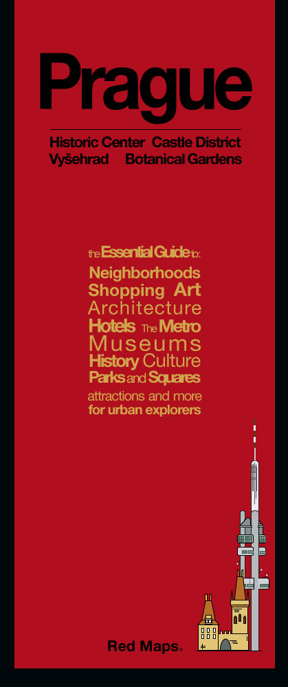
Concise lists of the best shopping and hotels; helpful descriptions of landmarks, museum collections, and integrated metro stops; Red Maps are known for clear and easy to read graphics. Red Maps are Designed and Made in the USA.
War Childhood: From Sarajevo to Syria, Memories of Life and Hope

In 2010, Sarajevo native Jasminko Halilovic began following through on a dream: collecting as many short recollections from as many people as possible who were children during the Bosnian War, which from 1992 to 1995 claimed the lives of 101,000 people amid the breakup of the former Yugoslavia and changed Sarajevo`s reputation from a onetime
The Caucasus: A History
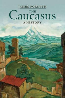
A fascinating new survey of the Caucasus which provides a unified narrative history of this complex and turbulent region at the borderlands of Europe, Asia and the Middle East, from prehistory to the present. For thousands of years the Caucasus has formed a hub of intersecting routes of migration, invasion, trade and culture and a
Amurath to Amurath
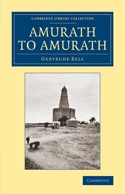
Traveller, archaeologist, mountaineer and diplomat, Gertrude Bell (1868-1926) poured her extraordinary talents into a series of adventures through Europe and the Middle East. Addressing her experiences in Persia and Syria respectively, Safar Nameh (1894) and The Desert and the Sown (1907) are both reissued in this series. The present work, first published in 1911 and
Kieldrecht- Doel
Topographical survey of Belgium at 1:20,000 from Nationaal Geografisch Instituut / Institut Gรฉographique National, the country’s national survey organization. Each 20K map covers one quarter of the corresponding 1:50,000 map (with adjustments in the border and coastal areas). The maps provide all the information expected of topographic mapping at this scale and additionally have an
Dendermonde – St-Amands
Topographical survey of Belgium at 1:20,000 from Nationaal Geografisch Instituut / Institut Gรฉographique National, the country’s national survey organization. Each 20K map covers one quarter of the corresponding 1:50,000 map (with adjustments in the border and coastal areas). The maps provide all the information expected of topographic mapping at this scale and additionally have an
Lebbeke – Merchtem
Topographical survey of Belgium at 1:20,000 from Nationaal Geografisch Instituut / Institut Gรฉographique National, the country’s national survey organization. Each 20K map covers one quarter of the corresponding 1:50,000 map (with adjustments in the border and coastal areas). The maps provide all the information expected of topographic mapping at this scale and additionally have an
Vilvoorde – Zemst
Topographical survey of Belgium at 1:20,000 from Nationaal Geografisch Instituut / Institut Gรฉographique National, the country’s national survey organization. Each 20K map covers one quarter of the corresponding 1:50,000 map (with adjustments in the border and coastal areas). The maps provide all the information expected of topographic mapping at this scale and additionally have an
Zwalm – Zottegem
Topographical survey of Belgium at 1:20,000 from Nationaal Geografisch Instituut / Institut Gรฉographique National, the country’s national survey organization. Each 20K map covers one quarter of the corresponding 1:50,000 map (with adjustments in the border and coastal areas). The maps provide all the information expected of topographic mapping at this scale and additionally have an
Herzele – Ninove
Topographical survey of Belgium at 1:20,000 from Nationaal Geografisch Instituut / Institut Gรฉographique National, the country’s national survey organization. Each 20K map covers one quarter of the corresponding 1:50,000 map (with adjustments in the border and coastal areas). The maps provide all the information expected of topographic mapping at this scale and additionally have an
Mount Mulanje – Map and Guide
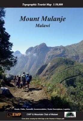
Detailed, full-colour topographical map of Mount Mulanje, Malawi.Published with the Mountain Club of Malawi. 25m contours, full colour. Useful information on walking routes, accommodation, history, flora and fauna, weather, geology. Photographs of area.
Flobecq – Brakel
Topographical survey of Belgium at 1:20,000 from Nationaal Geografisch Instituut / Institut Gรฉographique National, the country’s national survey organization. Each 20K map covers one quarter of the corresponding 1:50,000 map (with adjustments in the border and coastal areas). The maps provide all the information expected of topographic mapping at this scale and additionally have an