Category Archives: Maps
New Zealand Gizi Map
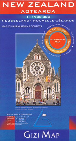
Indexed road map of New Zealand designed to provide a good overview of the country’s topography. The map had altitude colouring with spot heights and names of various mountain ranges and selected peaks. National parks and protected areas are clearly marked. Road network includes selected rural roads and shows intermediate distances on main routes. Railways,
Gemenc – Szekszard-Hills Tourist Map
Cserhรกtin a series of contoured hiking and recreational maps from the Budapest based Cartographia, with hiking routes and other tourist information, including in many titles street plans, cycling trails, etc. The maps have contours at 10m intervals with relief shading and spot heights, plus colouring and/or graphics to indicate different types of vegetation. An overprint
Morocco Gizi Map
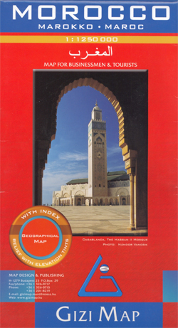
Morocco at 1:1,250,000 on an indexed map from Gizi Map, with bold altitude coloring showing the Atlas Mountains and the topography of the rest of the country. Western Sahara is covered at 1:2,500,000. Many place names are also given in Arabic alphabet.Bold altitude colouring shows the topography, with plenty of names of various geographical features:
Saudi Arabia Gizi Map
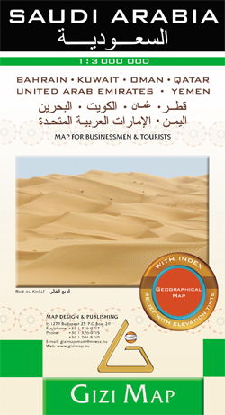
Saudi Arabia at 1:3,000,000 from Gizi Map, covering the whole of the Arabian Peninsula and the adjoining coastal areas around the Gulf and the Red Sea, with excellent topographic detail and tourist information.Vivid altitude colouring with graphics for deserts, flood plains and salt flats shows the terrain. Oases, water wells and numerous spot heights are
Vietnam – Laos – Cambodia Gizi Map
Vietnam, Laos and Cambodia at 1:1,400,000 from Gizi Map with bold altitude colouring providing a vivid picture of the region’s topography, highlighting for places of interest including diving sites, an index of localities, etc.The map shows the road network, including selected local roads and dirt tracks, and gives driving distances on major roads. Railway lines
St Lucia Gizi Map
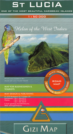
Lovely indexed road map of St. Lucia, with street plans of central Castries and the holiday complex at Anse Chastanet. Bright altitude colouring and vivid relief shading provide an excellent picture of the islands topography. Mangroves and coral reefs are marked. Road network includes minor local roads and tracks. The map also shows the country’s
Mauritania Gizi Map
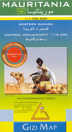
Mauritania and Western Sahara with excellent topographic information on an indexed map with a street plan of central Nouakchot. Vivid altitude colouring with graphics for deserts, flood plains and salt flats shows the terrain. Oases, water wells and numerous spot heights are marked and the map provides plenty of names of geographical features: peaks, mountain
Cuba Gizi Map
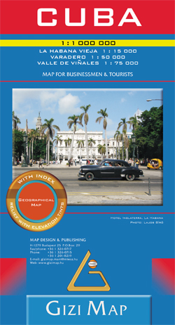
Cuba with excellent topographic information on an indexed map from Gizi, with a street plan of central Havana, enlargements for the Varadero Peninsula, Valle de Viรฑales and the environs of the capital, plus a distance table.Vivid altitude colouring with graphics for mangrove and swamps, plus plenty of names of geographical features: peaks, mountain ranges, national
Middle East Gizi Map
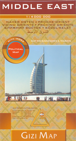
Political road map of the Middle East from Gizi Maps with administrative subdivisions of the countries and large amount of topographic information. Coverage extends from Turkey and Egypt to Pakistan and parts of Central Asia. An enlargement covers Israel and the adjoining areas of the neighbouring countries at 1:2,000,000.All place names, are in Latin alphabet,
Red Sea Gizi Map
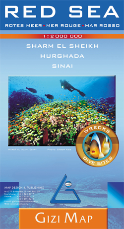
Red Sea at 1:2,000,000 from Gizi Map with lists of diving sites and wrecks along its shores, an enlargement of southern Sinai and its coastal waters, plus street plans of Sharm el Sheikh and Hurghada with tourist information.Coverage extends from Port Said and the Suez Canal beyond the Bab-el-Mandeb Straights to Djibouti City and Aden
Mali Gizi Map
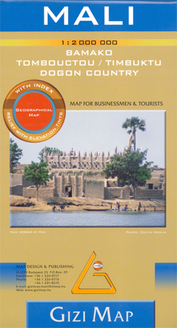
Mali at 1:2,000,000 from Gizi Map with excellent presentation of the country’s topography, an enlargement for the Dogon Plateau, street plans of Bamako and Timbuktu, all showing places of interest, plus an extensive index.Topography is shown by altitude colouring with spot heights and plenty of names of mountain ranges and other geographical features. Additional graphics
Rodnei Mountains Dimap Hiking Map
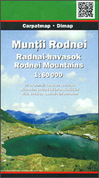
Rodnei Mountains in northern Romania presented at 1:50,000 on a map from Dimap – one of Hungary’s leading cartographic publishers specializing in mapping Transylvania, showing local hiking routes, campsites, places of interest, etc. Contours are at 50m intervals, enhanced by relief shading and colouring for forested areas. The map shows local roads and footpaths, and
Szigetkoz – Tokoz – Czilizkoz
Cserhรกtin a series of contoured hiking and recreational maps from the Budapest based Cartographia, with hiking routes and other tourist information, including in many titles street plans, cycling trails, etc. The maps have contours at 10m intervals with relief shading and spot heights, plus colouring and/or graphics to indicate different types of vegetation. An overprint
Budapest Bicycle Atlas
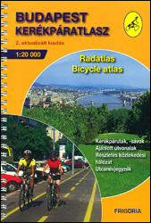
Cycling Atlas of Budapest in an A5 spiral-bound format from the Hungarian publishers Frigoria, presenting the city at 1:20,000 with more detailed mapping of its central districts. Different types of colour-coded overprint highlight routes recommended for cyclists, indicating separate cycle paths, dirt or rough roads, dangerous junctions, steep gradients, etc. The course of the EuroVelo
Danube Bend Cycle Atlas & Guide
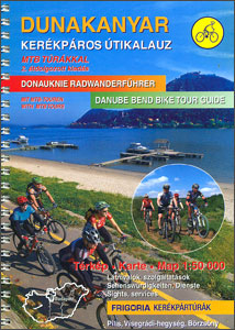
The Danube Bend, one of Hungary’s most popular tourist destinations, in an A5 spiral-bound cycling atlas from the Budapest-based Frigoria with contoured, GPS compatible mapping at 1:50,000 highlighting cycle and mountain bike routes, rental and maintenance shops, accommodation options, etc, plus a guide to the area which includes English. Coverage extends from Esztergom to Budapest,
Oman – United Arab Emirates Gizi Map

Oman with United Arab Emirates at 1:1,250,000 on an indexed map from Gizi Map with excellent presentation of the topography, many place names in both Arabic and Latin script, oil or gas rigs and pipelines in the southern Persian Gulf, etc.Bold altitude colouring shows the topography, with additional graphics for deserts, salt flats, wadis, oasis,
Budapest Frigoria Bicycle Map
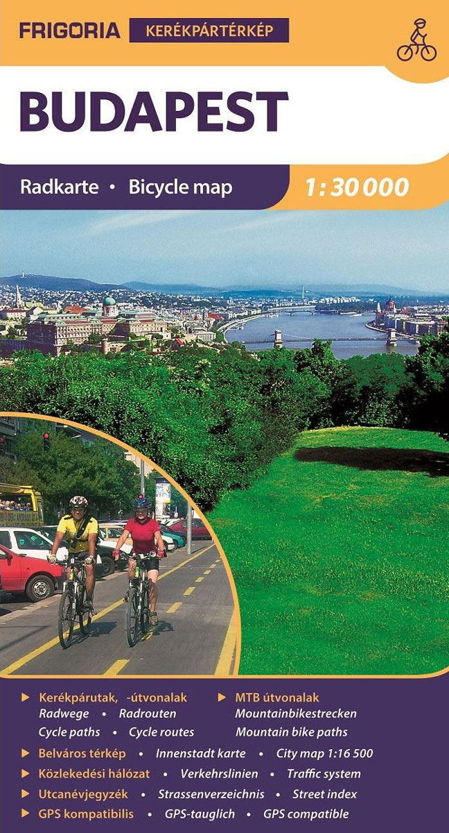
1:30,000 Bounded Four-Coloured Bicycle Map Cycling theme: different types of bicycle paths, cycling routes recommended for cyclists, designated forest cycle paths, recommended cycling routes, EuroVelo Budapest section, planned bicycle paths where cycling is prohibited, and the proposed link between cycling is prohibited routes to reach high schools, universities, public institutions, and attractions with bicycles.A new
Egypt Gizi Map
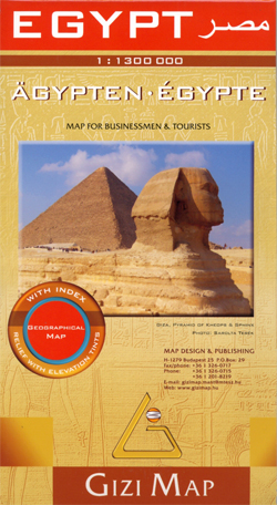
Egypt on an indexed map from Gizi Map with detailed presentation of the topography, excellent for exploring the country beyond the Nile Valley including the western deserts, Sinai and the coastline of the Red Sea and the Gulf of Suez.The whole country, from the Libyan border to the Gulf of Aqaba and south to the
Lake Balaton Cycling Atlas
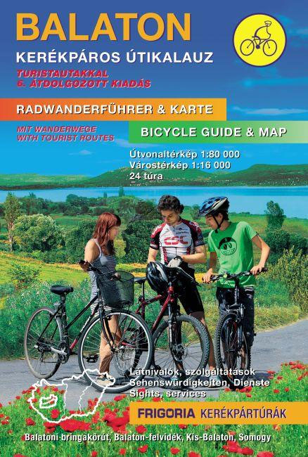
Lake Balaton Cycling Atlas and Guide from Frigoria in an A5, spiral-bound format with detailed grading of cycle routes including the BBR ‘“ Balaton Bike Ring, tourist information, street plans and route descriptions. All the text includes English.The region around the lake is presented on 26 pages of detailed mapping at 1:80,000. The overprint highlights
Mongolia (Geographical Edition)

Mongolia at 1:2,000,000 on an indexed map from Gizi Map with its road network shown on the base with bold altitude colouring indicating its physical geography. The map includes a street plan of central Ulaanbaatar annotated with hotels and places of interest. Names of larger towns and selected smaller locations, as well as of many


