Category Archives: Maps
The Love and Lies of Rukhsana Ali

A timely and honest coming-of-age story that explores the complicated relationship between identity, culture, family, and love. Seventeen-year-old Rukhsana Ali tries her hardest to live up to her conservative Muslim parents` expectations, but lately she`s finding that impossible to do. She rolls her eyes when they blatantly favour her brother and saves her crop tops
Ride A Stage of The Tour De France

The Tour de France is one of the best-known and most challenging athletic events in the world. In the first three weeks of July every year, the pros pit their strength, wit and skill against each other over the gruelling 3,500km route. And every year, amateur riders the world over dream of tackling one of
The Great Tamasha: Cricket, Corruption and the Turbulent Rise of Modern India
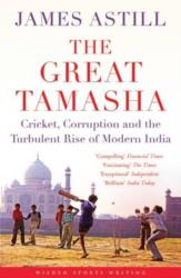
On a Bangalore night in April 2008, cricket and India changed forever. It was the first night of the Indian Premier League – cricket, but not as we knew it. It involved big money, glitz, prancing girls and Bollywood stars. It was not so much sport as tamasha: a great entertainment. The Great Tamasha examines
The Great British Road Rides Guide: The Best of the UK in 55 Bike Routes

An inspirational guide book to help you plan spectacular road rides. Each route is broken down into key elements, giving concise information on the essentials that make for a great day out on the bike, including route, road features, and public transport links for point to point rides, accompanied by inspirational images of the ride.
Maps: Their Untold Stories
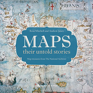
Maps: Their Untold Stories, a magnificent collection drawn from seven centuries of maps held in the National Archives at Kew, presents a variety of maps, from those found in 14th Century manuscripts, through early estate maps, to sea charts, maps used in military campaigns, and maps from treaties. The text explores who the mapmakers were,
Helium
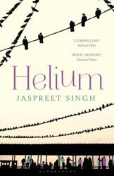
On November 1st 1984, a day after the assassination of Indian Prime Minister Indira Gandhi, a nineteen-year-old student travels back from a class trip with his mentor and chemistry teacher, Professor Singh. As the group disembark at Delhi station a mob surrounds the professor, douses him in petrol and sets him alight. Years later the
Huy – Nandrin
Topographical survey of Belgium at 1:20,000 from Nationaal Geografisch Instituut / Institut Gรฉographique National, the country’s national survey organization. Each 20K map covers one quarter of the corresponding 1:50,000 map (with adjustments in the border and coastal areas). The maps provide all the information expected of topographic mapping at this scale and additionally have an
Vresse-sur-Semois
Topographical survey of Belgium at 1:20,000 from Nationaal Geografisch Instituut / Institut Gรฉographique National, the country’s national survey organization. Each 20K map covers one quarter of the corresponding 1:50,000 map (with adjustments in the border and coastal areas). The maps provide all the information expected of topographic mapping at this scale and additionally have an
Gesves – Ohey
Topographical survey of Belgium at 1:20,000 from Nationaal Geografisch Instituut / Institut Gรฉographique National, the country’s national survey organization. Each 20K map covers one quarter of the corresponding 1:50,000 map (with adjustments in the border and coastal areas). The maps provide all the information expected of topographic mapping at this scale and additionally have an
Modave – Clavier
Topographical survey of Belgium at 1:20,000 from Nationaal Geografisch Instituut / Institut Gรฉographique National, the country’s national survey organization. Each 20K map covers one quarter of the corresponding 1:50,000 map (with adjustments in the border and coastal areas). The maps provide all the information expected of topographic mapping at this scale and additionally have an
Anthisnes – Comblain-au-Pont
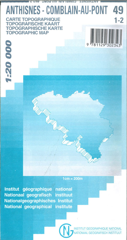
Topographical survey of Belgium at 1:20,000 from Nationaal Geografisch Instituut / Institut Gรฉographique National, the country’s national survey organization. Each 20K map covers one quarter of the corresponding 1:50,000 map (with adjustments in the border and coastal areas). The maps provide all the information expected of topographic mapping at this scale and additionally have an
Aywaille – Spa NGI Belgium Survey Map No. 49/3-4
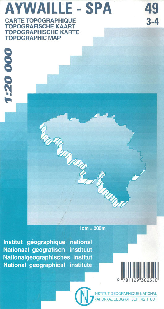
Topographical survey of Belgium at 1:20,000 from Nationaal Geografisch Instituut / Institut Gรฉographique National, the country’s national survey organization. Each 20K map covers one quarter of the corresponding 1:50,000 map (with adjustments in the border and coastal areas). The maps provide all the information expected of topographic mapping at this scale and additionally have an
Hamoir – Ferrieres
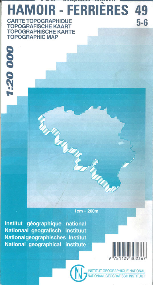
Topographical survey of Belgium at 1:20,000 from Nationaal Geografisch Instituut / Institut Gรฉographique National, the country’s national survey organization. Each 20K map covers one quarter of the corresponding 1:50,000 map (with adjustments in the border and coastal areas). The maps provide all the information expected of topographic mapping at this scale and additionally have an
Harze – La Gleize
Topographical survey of Belgium at 1:20,000 from Nationaal Geografisch Instituut / Institut Gรฉographique National, the country’s national survey organization. Each 20K map covers one quarter of the corresponding 1:50,000 map (with adjustments in the border and coastal areas). The maps provide all the information expected of topographic mapping at this scale and additionally have an
Durbuy – Erezee
Topographical survey of Belgium at 1:20,000 from Nationaal Geografisch Instituut / Institut Gรฉographique National, the country’s national survey organization. Each 20K map covers one quarter of the corresponding 1:50,000 map (with adjustments in the border and coastal areas). The maps provide all the information expected of topographic mapping at this scale and additionally have an
Odeigne – Bihain
Topographical survey of Belgium at 1:20,000 from Nationaal Geografisch Instituut / Institut Gรฉographique National, the country’s national survey organization. Each 20K map covers one quarter of the corresponding 1:50,000 map (with adjustments in the border and coastal areas). The maps provide all the information expected of topographic mapping at this scale and additionally have an
Gouvy – Thommen
Topographical survey of Belgium at 1:20,000 from Nationaal Geografisch Instituut / Institut Gรฉographique National, the country’s national survey organization. Each 20K map covers one quarter of the corresponding 1:50,000 map (with adjustments in the border and coastal areas). The maps provide all the information expected of topographic mapping at this scale and additionally have an
Manderfeld
Topographical survey of Belgium at 1:20,000 from Nationaal Geografisch Instituut / Institut Gรฉographique National, the country’s national survey organization. Each 20K map covers one quarter of the corresponding 1:50,000 map (with adjustments in the border and coastal areas). The maps provide all the information expected of topographic mapping at this scale and additionally have an
Rochefort – Nassogne
Topographical survey of Belgium at 1:20,000 from Nationaal Geografisch Instituut / Institut Gรฉographique National, the country’s national survey organization. Each 20K map covers one quarter of the corresponding 1:50,000 map (with adjustments in the border and coastal areas). The maps provide all the information expected of topographic mapping at this scale and additionally have an
Wellin – Daverdisse
Topographical survey of Belgium at 1:20,000 from Nationaal Geografisch Instituut / Institut Gรฉographique National, the country’s national survey organization. Each 20K map covers one quarter of the corresponding 1:50,000 map (with adjustments in the border and coastal areas). The maps provide all the information expected of topographic mapping at this scale and additionally have an