Category Archives: Maps
Sevastopol / Sebastopol – Balaklava Kartografija Street Plan
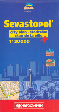
Sevastopol (Sebastopol) street plan from Kartografija Kiev, with additional coverage of Balaklava, in an edition with street names in the Latin alphabet and all other information in English, German and French. Main traffic arteries are highlighted and streets are annotated with selected house numbers for easier identification of addresses. A wide range of symbols highlight
Mikolayiv Administrative Region

Administrative provinces of the Ukraine on indexed road maps at 1:250,000, each with a town centre street plan of its capital city. All place names are in Cyrillic only, but the map legend includes English.Coverage of the larger provinces is divided between the two sides of the map. Road network is presented in great detail,
Rivne Administrative Region

Administrative provinces of the Ukraine on indexed road maps at 1:250,000, each with a town centre street plan of its capital city. All place names are in Cyrillic only, but the map legend includes English.Coverage of the larger provinces is divided between the two sides of the map. Road network is presented in great detail,
Vinnytsia Administrative Region

Administrative provinces of the Ukraine on indexed road maps at 1:250,000, each with a town centre street plan of its capital city. All place names are in Cyrillic only, but the map legend includes English.Coverage of the larger provinces is divided between the two sides of the map. Road network is presented in great detail,
Chernihiv Administrative Region

Administrative provinces of the Ukraine on indexed road maps at 1:250,000, each with a town centre street plan of its capital city. All place names are in Cyrillic only, but the map legend includes English.Coverage of the larger provinces is divided between the two sides of the map. Road network is presented in great detail,
Kharkiv Administrative Region

Administrative provinces of the Ukraine on indexed road maps at 1:250,000, each with a town centre street plan of its capital city. All place names are in Cyrillic only, but the map legend includes English.Coverage of the larger provinces is divided between the two sides of the map. Road network is presented in great detail,
Cherkasy Administrative Region

Administrative provinces of the Ukraine on indexed road maps at 1:250,000, each with a town centre street plan of its capital city. All place names are in Cyrillic only, but the map legend includes English.Coverage of the larger provinces is divided between the two sides of the map. Road network is presented in great detail,
Chernivtsi

Chernivtsi (Chernovitz) street plan from Kartografija Kiev in a Cyrillic edition with map legend and all other text in Ukrainian only. An enlargement shows the city centre in greater detail at 1:10,000. Extensive lists of various facilities and a map of the environs are also provided.Main traffic arteries are highlighted and streets are annotated with
Poltava Administrative Region

Administrative provinces of the Ukraine on indexed road maps at 1:250,000, each with a town centre street plan of its capital city. All place names are in Cyrillic only, but the map legend includes English.Coverage of the larger provinces is divided between the two sides of the map. Road network is presented in great detail,
Kirovohrad Administrative Region

Administrative provinces of the Ukraine on indexed road maps at 1:250,000, each with a town centre street plan of its capital city. All place names are in Cyrillic only, but the map legend includes English.Coverage of the larger provinces is divided between the two sides of the map. Road network is presented in great detail,
Simferopol
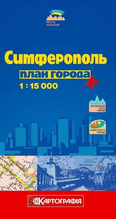
Sevastopol (Sebastopol) street plan from Kartografija Kiev, with additional coverage of Balaklava, in a Cyrillic edition but with English map legend. An enlargement shows the city centre of Sevastopol at 1:12,000 and a road map of south-western Crimea is also provided.Main traffic arteries are highlighted and streets are annotated with selected house numbers for easier
Israel Nature Reserves & National Parks
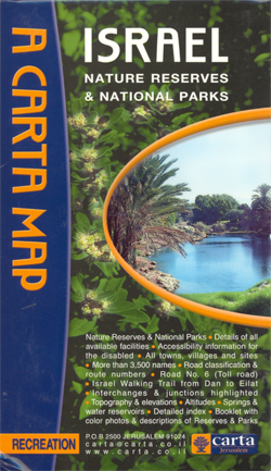
Israel on a double-sided map at 1:270,000 showing topography by altitude colouring and highlighting the country’s national parks and nature reserves as well as the route of the ‘Israel Trail” (Shvil Yisrael) which criss-crosses the country from Upper Galilee to the Gulf of Eilat. The base map has bold altitude colouring clearly showing the depression
Kherson Administrative Region

Administrative provinces of the Ukraine on indexed road maps at 1:250,000, each with a town centre street plan of its capital city. All place names are in Cyrillic only, but the map legend includes English.Coverage of the larger provinces is divided between the two sides of the map. Road network is presented in great detail,
Old City of Jerusalem Map

Jerusalem street plan from Carta combining a very detailed plan of the Old City with, on the reverse, a plan of the city’s central districts, both indexed and highlighting various places of interest.On one side a very clear street plan at approx. 1:2,700 shows the Old City. Numerous places of worship, institutions and sites are
Crimea South
Detailed double-sided map of the southern part of the Crimean Peninsula, with cartography of the Ukrainian topographic survey, English map legend and overprint showing main tourist facilities and places of interest. The map divides the peninsula east/west and extends to Evpatoria in the north-west and Feodosia in the east. Contoured base has colouring and graphics
Israel Super Touring Map
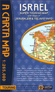
Israel road map from Carta covering most of the country at 1:265,000 and the Negev at 1:425,000, indexed and with on the reverse indexed street plans of central Jerusalem and Tel Aviv. Colouring indicates autonomous Palestinian areas.The map covers the bulk of the country at 1:265,000, with the area south of Beersheba shown on a
Moldova
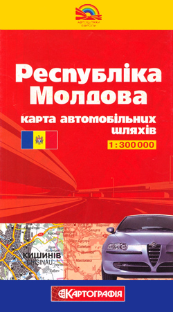
Moldova at 1:300,000 on a double-side indexed road map from Kartografia in Kiev, with a street plan of Chisinau and a distance table. All place names are in the Cyrillic alphabet, but with names of larger towns also shown in their Romanian versions. Map legend is in Ukrainian only.The map divides the country north/south, with
Jerusalem – Biblical Archaeology
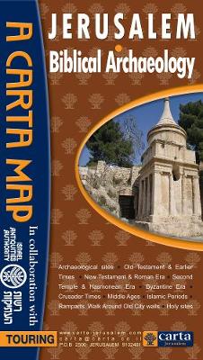
No place on earth is richer in ancient remains and relics than The Holy City of Jerusalem. Hardly a day goes by without another discovery being made that reveals yet another historical link to Western heritage, culture and religion. This state-of-the-art map, covering the whole of modern Jerusalem with special emphasis on the Old City
Israel – Biblical Archaeology
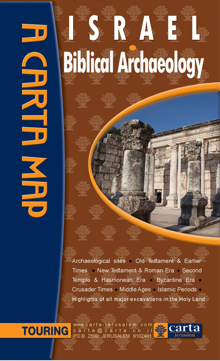
The first major comprehensive map of archaeological sites in the Holy Land, together with over a dozen annotated historical vignette maps of major sites and events throughout the land that provide an insightful overview of all archaeological sites related to the Bible and later historical periods Scale 1:15,000
Dnipropetrovsk Administrative Region

Administrative provinces of the Ukraine on indexed road maps at 1:250,000, each with a town centre street plan of its capital city. All place names are in Cyrillic only, but the map legend includes English.Coverage of the larger provinces is divided between the two sides of the map. Road network is presented in great detail,


