Category Archives: Maps
South East Asia ITMB
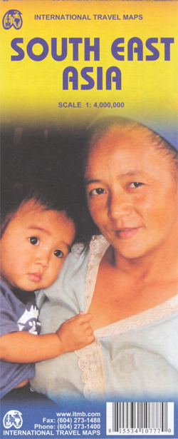
South-East Asia, including the whole of Indonesia and the Philippines, at 1:4,000,000 on an indexed, double-sided map from ITMB with street plans of central Manila and Jakarta highlighting various places of interest.On one side are the mainland countries and western Indonesia, extending along the northern edge of the map from Dhaka and Chittagong to Guangzhou
Victoriaville
Double-sided, indexed street plan of Victoriaville, including Drummondville, Sherbrooke, Granby, Asbestos, Ascot, Coaticook, East Angus, Fleurimont, Lennoxville, Magog, Omerville, Princeville, Rock Forest, St-Charles-de-Drummond, St-Elie-d`Orford, St-Germain-de-Grantham, St-Nicephore. Street plans from the MapArt / Canadian Cartographics Corporation / JDM Gรฉo publishing group are usually produced at scales around 1:25,000 to 1:35,000 with smaller towns often shown at
South America North ITMB
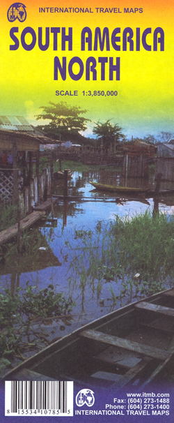
Northern South America at 1:3,850,000 in a series of three double-sided, indexed maps from ITMB, dividing the continent north/south and providing separate coverage of the Andes. Altitude colouring shows the topography and national parks or protected areas are highlighted.The maps present an overview of the continent’s road and rail networks and indicate local domestic airports.
Hamilton – Burlington – Oakville Street Atlas
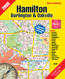
Street atlas of Hamilton, Burlington and Oakville area, including Ancaster, Brookville, Burlington, Caledonia, Campbellville, Carlisle, Cayuga, Dundas, Dunnville, Flamborough, Greensville, Hagersville, Hamilton, Jarvis, Killbride, Milton, Nanticoke, Oakville, Stoney Creek, and Waterdown. The atlas is part of an extensive coverage of Canadian cities and towns from the country’s largest map publisher, MapArt. The mapping is usually
Montreal & Environs Street Atlas
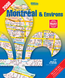
Street atlas of Montreal and its environs, including Anjou, Baie-D`Urfe, Beaconsfield, Beauharnois, Beloeil, Blainville, Bois-Des-Filion, Boisbriand, Boucherville, Brossard, Candianc, Carignan, Chambly, Charlemagne, Chateauguay, Cote-Saint-Luc,Pointe-Claire, Pointe-Des-Cascades and many other localities. The atlas is part of an extensive coverage of Canadian cities and towns from the country’s largest map publisher, MapArt. The mapping is usually at 1:25,000
California ITMB
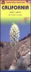
California at 1:1,000,000 on a double-sided, indexed road map from ITMB printed on light, waterproof and tear-resistant synthetic paper, with enlargements and street plans for Los Angeles and San Francisco. The map is double-sided, with a good overlap and the San Francisco Bay area shown on both sides. Altitude colouring shows the topography, with national
Helsinki & Southern Finland ITMB
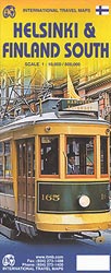
Central Helsinki on a clear indexed street plan at 1:10,000 from ITMB, highlighting numerous places of interest, plus a diagram of tram/metro/rail networks and on the reverse an indexed road map of southern Finland.The street plan covers the city’s central districts as indicated in our area coverage image, and extends north beyond that Pasila/Bรถle railway
San Diego & USA South West Border ITMB
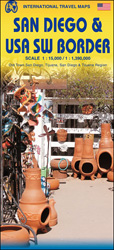
San Diego on a clear, well presented street plan from ITMB, with a transit system diagram, a road map of the city and its environs, and a street plan of central Tijuana, plus on the reverse a road map of the US/Mexico border region extending east beyond El Paso and within USA north to Las
Central Asia ITMB
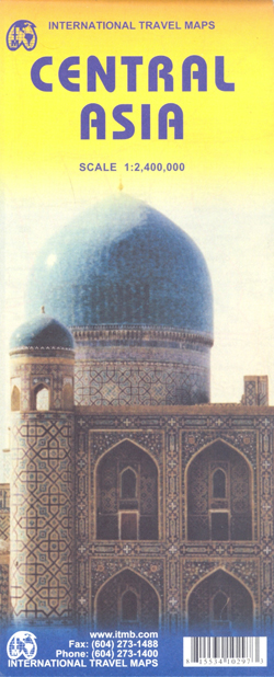
Central Asia at 1:2,400,000 on a double-sided, indexed map published by ITMB, providing much wider coverage of the region than usually found in alternative titles, extending out to include most of Kazakhstan.The map has a small overlap between the two sides and covers all Uzbekistan, Tajikistan and Kyrgyzstan, plus Kazakhstan – missing just small areas
US Rocky Mountains ITMB
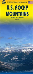
Rocky Mountains in the USA on an indexed, double-sided map from ITMB at 1:1,000,000 with altitude colouring to show the topography. Coverage extends from the Canadian border across most of Idaho and parts of Montana, Wyoming, Utah and Colorado to Albuquerque in New Mexico. Peak heights are given in feet.The map shows the region’s road
Zurich & Switzerland NW ITMB
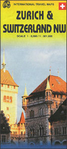
Double-sided map from ITMB presenting on one side a clear, indexed street plan of Zurich with a diagram of its tram and rail network, plus on the reverse an indexed road map covering most of Switzerland and a street plan of central Geneva.On one side a street plan of Zurich extends from the Kรคferberg Park
Central America ITMB
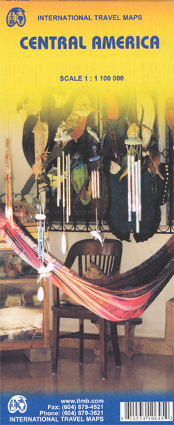
Central America at 1:1,100,000 on a double-sided indexed map from ITMB with enlargements for the environs of San Jose and the Panama Canal area, information about each country’s size, highest peak, etcThe map divides the region north/south across Nicaragua (along the 12ยฐlatitude) with a small overlap between the two sides. Relief is shown by elevation
Borneo / Kalimantan ITMB
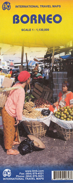
Indexed, double-sided map of the whole of Borneo at 1:1,130,000, showing Indonesian Kalimantan, Brunei and the Malaysian states of Sarawak and Sabah, with street plans of Kuching, Kota Kinabalu and Bandar Seri Bengawan.The island’s topography is shown by altitude colouring, with numerous spot heights (in feet), names of main peaks and swamp areas. Road network
The New Pocket Kobbe`s Opera Book

The New Pocket Kobbe`s Complete Opera Book is the world`s leading reference work on opera, and (in the words of Bernard Levin) `no single-volume operatic guide can possibly compare with it`. Kobbe is the only book which summaries the libretti of the world`s opera, describes their music and gives a history of their performance within
Alberta Pocket Road Atlas
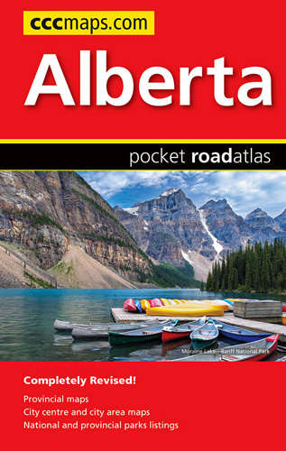
Pocket road atlas of Alberta presenting the whole province at 1:1,325,000, with numerous enlargement showing in more detail most visited areas, including Banff, Jasper, Canmore, Calgary, Edmonton, etc. The index includes a listing of the province’s national and provincial parks.Road network indicates loose surface and unimproved roads, showing driving distances on main and on many
Untold Night and Day

`As cryptic and compelling as a fever dream… Bae Suah is one of the most unique and adroit literary voices working today` Sharlene TeoFinishing her last shift at Seoul`s only audio theatre for the blind, Kim Ayami heads into the night with her former boss, searching for a missing friend. The following day, she looks
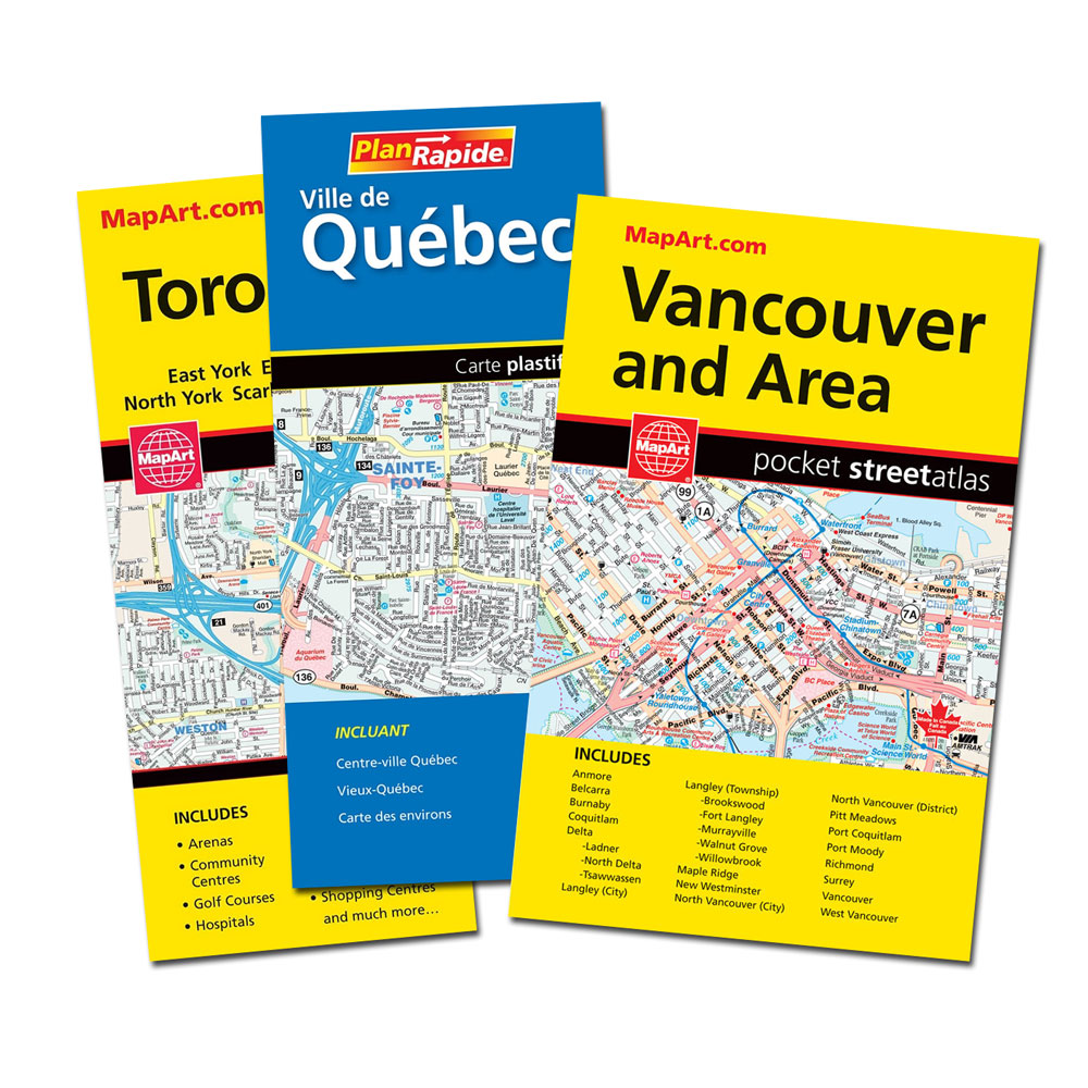
Toronto & Area MapArt Street Atlas
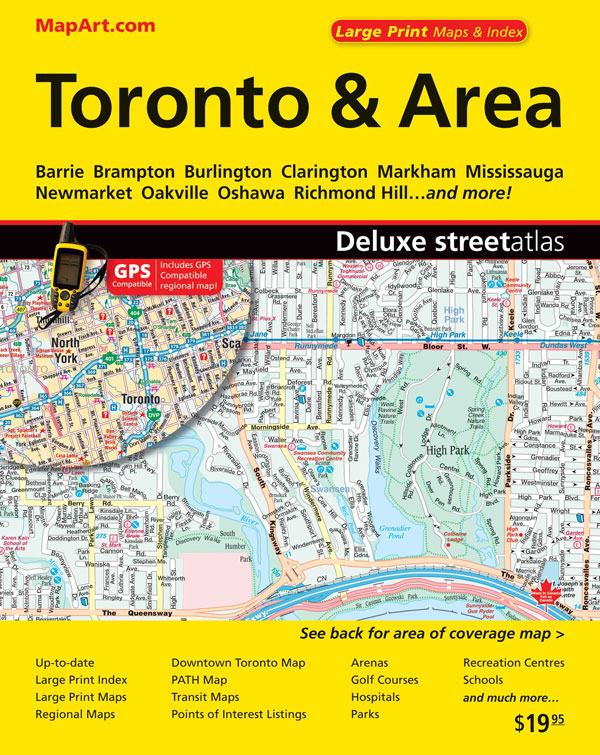
Toronto and Area Street Atlas from the Canadian Cartographics Corporation covering the Toronto conurbation at 1:20,000, with A more detailed street plan of central Toronto, an extensive index of places of interest, plus regional road maps.The atlas covers an area along Lake Ontario from Hamilton and Burlington west of Toronto to beyond Oshawa in the
Djinn Patrol on the Purple Line: LONGLISTED FOR THE WOMEN`S PRIZE 2020
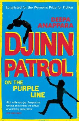
`Anappara creates an endearing and highly engaging narrator to navigate us through the dark underbelly of modern India` Observer We children are not just stories. We live. Come and see. Nine-year-old Jai watches too many reality cop shows, thinks he`s smarter than his friend Pari (even though she always gets top marks) and considers himself
The Hunt for Mount Everest
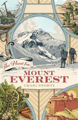
The height of Mt. Everest was first measured in 1850, but the closest any westerner got to Everest during the next 71 years, until 1921, was 40 miles. The Hunt for Mt. Everest tells the story of the 71-year quest to find the world`s highest mountain. It`s a tale of high drama, of larger-than-life characters-George