Category Archives: Maps
9.78155E+12
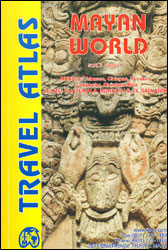
Mayan World Travel Atlas from ITBM combining their mapping of southern Mexico, Guatemala, Belize, Honduras and El Salvador into one A5, paperback atlas with street plans of the capitals and/or enlargements popular areas.All the maps have altitude colouring, although in different grades and in Honduras in feet while the other countries are in metres. Elevation
Vietnam, Laos & Cambodia ITMB
Vietnam, Cambodia and Laos at 1:1,250,000 on an indexed, double-sided overview map at 1:1,250,000 from ITMB. Altitude colouring shows the topography of the region, with numerous spot heights in mountainous areas. Swaps and land subject to inundation are also marked. National parks and other protected areas are highlighted.The map divides the region north/south, with a
Angola ITMB
Angola at 1:1,300,000 on a double-sided indexed map from ITMB with a large, clear street plan of central Luanda. Altitude colouring shows the country’s topography, with additional spot heights. Swamps, salt pans and desert areas are marked.The map shows the country’s road and rail networks, including numerous seasonal tracks. Intermediate distances are marked on main
South America Southern ITMB
Southern South America at 1:2,600,000 in a series of three double-sided, indexed maps from ITMB, dividing the continent north/south and providing separate coverage of the Andes. Altitude colouring shows the topography and national parks or protected areas are highlighted.The maps present an overview of the continent’s road and rail networks and indicate local domestic airports.
USA Pacific Northwest ITMB
The Pacific Northwest states: Oregon, Washington State and Idaho, on a double-sided, indexed road map at 1:1,000,000 with altitude colouring to show the topography, printed on light, waterproof and tear-resistant synthetic paper.The map divides the region east-west, with a small overlap between the sides, and extends to Helena and Great Falls in Montana. Geography is
Sikkim & India Northeast ITMB

Double-sided map from ITMB conveniently combining coverage of north-eastern India with eastern Nepal at 1:1,500,000 with, on the reverse, more detailed mapping of Sikkim including a street plan of Gangtok showing tourist facilities.On one side Sikkim is shown on a detailed map at 1:135,000 with altitude colouring plus spot heights presenting its topography. Road network
Argentina ITMB

Double-sided, indexed map of Argentina at 1:2,200,000 from ITMB, printed on waterproof and tear-resistant synthetic paper, with a large street plan of central Buenos Aires, city centre street plans of Cรณrdoba, Rosario, Mendoza and Ushuaia, plus an enlargement of the environs of the capital.The map divides the country north-south with a tiny overlap between the
Eastern Canada ITMB Travel Atlas

Eastern Canada Travel Atlas from the Vancouver-based ITMB presenting the region in an A5 paperback format and at various scales according to the urban development. The mapping has altitude colouring to show the topography.The atlas shows the region’s road and rail networks, indicating driving distances on selected main routes, service/rest areas, border crossings to the
Middle East ITMB Travel Atlas
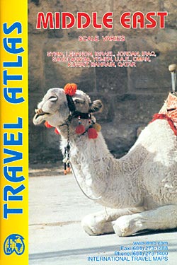
Mapping by ITMB of Middle East countries presented in a handy size, A5 paperback atlas, with each country accompanied by one or more pages with street plans. The country maps have altitude colouring and spot heights (both given in feet) to show the topography. Additional graphics indicate deserts, swamps, salt pans, etc. Road network includes
Canary Islands ITMB

Canary Islands at 1:130,000 on a double-sided map from ITMB. Each island is presented on a separate panel at the same scale and with an index. Bold altitude colouring shows the islands’ topography, with national parks prominently highlighted. Road network includes selected local roads and tracks. Ferry connections between the islands are marked. Symbols indicate
Western & Northern Canada ITMB Travel Atlas
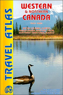
Western and Northern Canada Travel Atlas from the Vancouver-based ITMB, presenting each province separately and accompanied, where appropriate, by street plans of main towns. The atlas combines the publishers’ separate folded road maps into an A5, paperback format.Road network includes selected local tracks and seasonal/winter roads, gives distances on main routes, indicates border crossings from
Alaska`s Inside Passage – Seattle to Anchorage ITMB
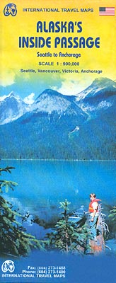
Alaska`s Inside Passage on a double-sided map from ITMB presenting the coastline of British Columbia and the panhandle at 1:900,000, with the rest of the route at 1:1,875,000; plus large, clear street plans of central Seattle, Vancouver, Victoria and Anchorage.On one side is the area from Seattle to Prince Rupert BC, accompanied by street plans
Sarawak – Sabah – Brunei ITMB
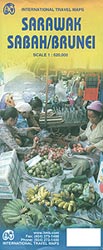
Sarawak and Sabah, the Malaysian part of Borneo, and Brunei, at 1:620,000 on an indexed, double-sided map from ITMB with street plans of Kota Kinabalu, Kuching and Bandar Seri Bengawan, plus an enlargement for the Mount Kinabalu trail.The map is double-sided, with a generous overlap between the sides. Topography is shown by altitude colouring and
South America ITMB Travel Atlas
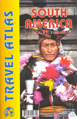
South America Road Atlas combining ITMB’s coverage of the continent into A5, 112-page paperback format, with an index of place names. Topography is presented by elevation colouring, with spot heights and names of peaks, volcanoes and various mountain ranges. The countries are shown with their internal administrative boundaries and names of states or provinces. The
India South & North East ITMB
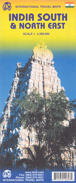
Indexed double-sided map combining coverage of southern India with the north-eastern part of the country and eastern Nepal. The map has altitude colouring (in feet) and shows the country’s road and rail networks. Symbols highlight various places of interest including historic or scenic sites, hill stations, temples and other religious buildings, castles and forts, national
Ontario MapArt Back Road Atlas
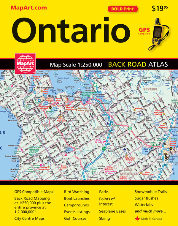
Ontario Back Road Atlas from the Canadian Cartographics Corporation in an A4-size, spiral-bound format covering the southern parts of the province – as indicated on our coverage image – on GPS-compatible mapping at 1:250,000, with additional maps at 1:2,000,000 for the remaining parts of Ontario, plus street plans, etc.In the main section of the atlas
China East ITMB
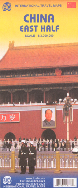
A double-sided, indexed, general-purpose road map of Eastern China at 1:3,000,000 scale, extending as far west as Xinin (approx. 101ยฐE) and to the northern and southern borders. The national road network is clearly shown, marking different classes of road down to provincial highways, with some other major local roads shown. Intermediate driving distances between locations
Kitchener – Waterloo Street Atlas
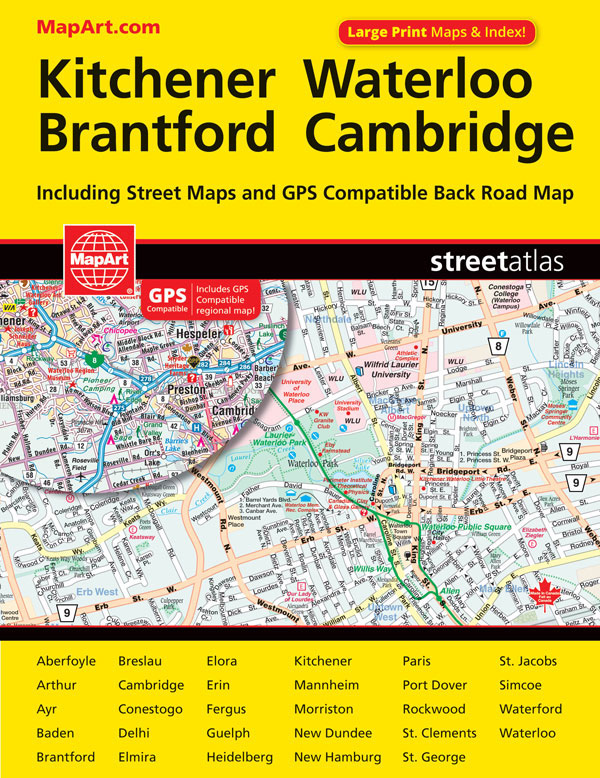
Street atlas of Kitchener and the surrounding area, including Ayr, Baden, Blair, Bloomingdale, Brant, Brantford, Breslau, Bridgeport, Cambridge, Conestogo, Doon, Elmira, Elora, Erin, Fergus, Galt, Guelph, Hespeler, Kitchener, Mannheim, New Hamburg, Paris, Preston, Rockwood, St. Jacobs, Salem and Waterloo. The atlas, which includes a listing for Oktoberfest Halls in the Kitchener area, is part of
China West ITMB
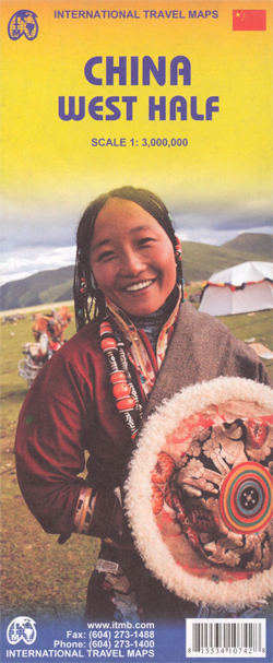
Western China on a double-sided, indexed road map from ITMB at 1:3,000,000, with three insets providing a street plan of central Lhasa, a wider coverage of the city and a plan of the Norbulingka complex. The map divides the region north/south and coverage extends east to approx. 106ยฐ (Lanzhou/Chengou).The map has altitude colouring in feet,