Category Archives: Maps
Ecuador ITMB

Ecuador at 1:660,000 an indexed, double-sided map from ITMB printed on light, waterproof and tear-resistant synthetic paper. The map has altitude coluring to show the topography, plus street plans of Quito and Guayaquil, and an enlargement of the Quito region with Otavalo and several of the country’s volcanoes including Cotopaxi and Cayambe.The map is double-sided,
Cuba ITMB

Cuba at 1:600,000 on a double-sided indexed map from ITMB printed on light, waterproof and tear-resistant plastic paper, with street plans of central Havana, central Santiago de Cuba and the Varadero Peninsula.The map is double-sided, dividing the country west/east with a good overlap between the sides. Altitude colouring with spot heights indicate the topography, with
Bangladesh & India East ITMB

Bangladesh at 1:750,000 on an indexed map from ITM, with street plans of central Dhaka and Chittagong, plus on the reverse a road map of north-eastern India with a street plan of Kolkata plus an enlargement of the city’s environs.On one side is an indexed map of Bangladesh at 1:750,000. Distances are shown on main
Brazil HARDCOVER ITMB
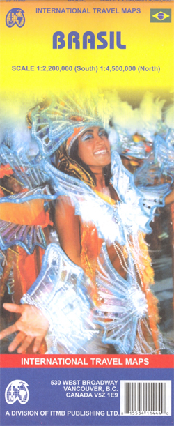
ITMB’s double-sided, indexed road map of Brazil with an index street plan of central Rio de Janeiro, plus basic plans of Sรฃo Paolo and Brasilia, folded to a slightly larger format than the publisher`s standard edition and with a hard cover.The southern part of the country is presented at 1:2,200,000 and the north at 1:4,500,000.
Burkina Faso & Niger ITMB
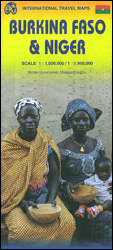
Burkina Faso and Niger on a double-sided, indexed map from ITMB, presenting each country separately at 1:1,000,000 1:1,950,000 respectively and accompanied by street plans of Ouagadougou, Bobo-Dioulasso and Niamey. Altitude colouring shows the topography (with bands in feet in Burkina Faso and in metres in Niger). In Burkina Faso the map indicates areas of periodic
Cameroon & Gabon ITMB
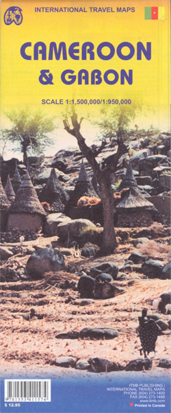
Indexed, double-sided map showing on one side Cameroon at 1:1,500,000 and on the reverse Gabon with Equatorial Guinea at 1:950,000, with street plans of Yaounde, Douala and Librรฉville.Both maps have altitude colouring with spot heights and indicate wetlands, swamps and mangrove areas. Elevation in Cameroon is shown in feet, whilst in Gabon in metres. Road
Cayman Islands & Jamaica ITMB

Cayman Islands and Jamaica on an indexed map from ITMB, presenting the individual Cayman islands at 1:37,500 with a street plan George Town, plus on the reverse Jamaica at 1:250,000 with plans of Kingston and five other locations.On one side Cayman Islands are shown on two separate panels: Grand Cayman Island, plus Little Cayman with
Great Lakes ITMB
The Great Lakes of United States and Canada on an indexed, double-sided map at 1:1,000,000 from ITMB. The map divides the region east/west with a small overlap between the sides and is orientated with the north-west at the top to provide coverage of this large region at a good scale, extending on the Canadian side
Chad ITMB
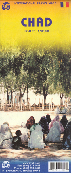
Chad on a double-sided, indexed map with a street plan of central N’djamena. The map has altitude colouring but with no spot heights and relatively few names of geographical features. River network is presented in more detail and with more names, including seasonal streams and swamps. National parks are prominently marked. Road network includes unpaved
Dominica & Saint Lucia ITMB

Dominica and Saint Lucia on a double-sided map from ITMB showing each island on one side accompanied by street plans of Roseau and Castries respectively. The islands’ topography is shown by contours and altitude colouring.On one side is Dominica at 1:50,000. Contour lines are at 25m intervals. The Waiukubuli National Hiking Trail is prominently marked.
Guangzhou & China South ITMB

Street plan of Guangzhou with on the reverse a map of southern China from ITMB, both indexed, plus additional panels an enlargement of the Shamian Island, a more detailed Guangzhou regional map, a street plan of Shanghai, and detailed coverage of Hong Kong.On one side is street plan of Guangzhou with coverage extending north to
Congo DR & Central African Republic ITMB
The Congos (Congo-Brazzaville and the Democratic Republic of Congo) plus Central African Republic at 1:2,000,000 on an indexed, double-sided map from ITMB with a very large number of place names of small towns and villages.The map divides the region north/south with no overlap between the sides. The easternmost parts of the DRC: north of Lake
Fiji & Tonga ITMB

Pacific countries of Fiji and Tonga on a double-sided map from ITMB which presents Fiji divided between the two sides on the map, whilst the islands of Tonga are shown on separate panels at scales according to their size. An overview panel of that section of the Pacific shows the two groups together at 1:4,500,000,
Sikkim & India Northeast ITMB

Double-sided map from ITMB conveniently combining coverage of north-eastern India with eastern Nepal at 1:1,500,000 with, on the reverse, more detailed mapping of Sikkim including a street plan of Gangtok showing tourist facilities.On one side Sikkim is shown on a detailed map at 1:135,000 with altitude colouring plus spot heights presenting its topography. Road network
Argentina ITMB

Double-sided, indexed map of Argentina at 1:2,200,000 from ITMB, printed on waterproof and tear-resistant synthetic paper, with a large street plan of central Buenos Aires, city centre street plans of Cรณrdoba, Rosario, Mendoza and Ushuaia, plus an enlargement of the environs of the capital.The map divides the country north-south with a tiny overlap between the
Eastern Canada ITMB Travel Atlas
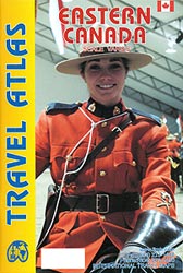
Eastern Canada Travel Atlas from the Vancouver-based ITMB presenting the region in an A5 paperback format and at various scales according to the urban development. The mapping has altitude colouring to show the topography.The atlas shows the region’s road and rail networks, indicating driving distances on selected main routes, service/rest areas, border crossings to the
Middle East ITMB Travel Atlas
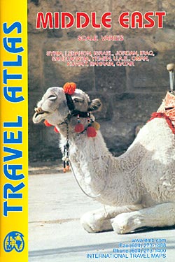
Mapping by ITMB of Middle East countries presented in a handy size, A5 paperback atlas, with each country accompanied by one or more pages with street plans. The country maps have altitude colouring and spot heights (both given in feet) to show the topography. Additional graphics indicate deserts, swamps, salt pans, etc. Road network includes
Canary Islands ITMB

Canary Islands at 1:130,000 on a double-sided map from ITMB. Each island is presented on a separate panel at the same scale and with an index. Bold altitude colouring shows the islands’ topography, with national parks prominently highlighted. Road network includes selected local roads and tracks. Ferry connections between the islands are marked. Symbols indicate
Western & Northern Canada ITMB Travel Atlas
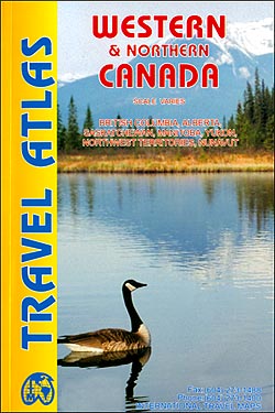
Western and Northern Canada Travel Atlas from the Vancouver-based ITMB, presenting each province separately and accompanied, where appropriate, by street plans of main towns. The atlas combines the publishers’ separate folded road maps into an A5, paperback format.Road network includes selected local tracks and seasonal/winter roads, gives distances on main routes, indicates border crossings from


