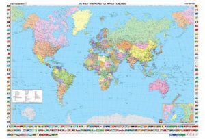
Category Archives: Maps
Turkey Central – Cappadocia ITMB
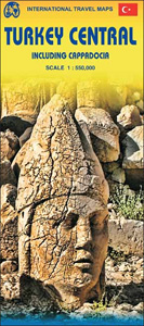
Central Turkey on an indexed, double-sided map at 1:550,000 from ITMB showing road and rail networks on a base with altitude colouring presenting the region’s topography. The map covers the country between its Black Sea and Mediterranean coasts, extending from Ankara and Konya in the west, across Cappadocia, to Malatya and Adiyaman.Road network includes selected
Guatemala ITMB
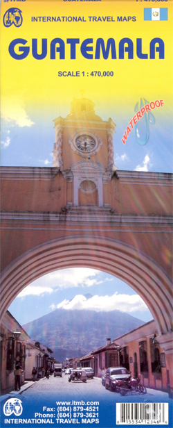
Indexed, double-sided map, printed on waterproof and tear-resistant paper, with street plans of Guatemala City and Antigua, plus an enlargement of the environs of the capital. The country is divided north/south with a generous overlap between the two sides. Elevation colouring with spot heights indicates the topography, with sand and swamp areas, as well as
Iraq & Baghdad ITMB
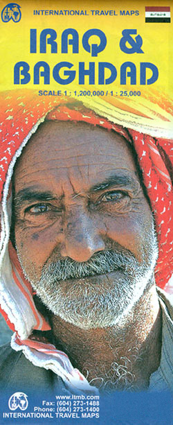
Iraq and Baghdad at 1:1,200,000 and 1: 25,000 respectively, on a double-sided, indexed road map from ITMB including insets of Baghdad Environs and Mesopotamia. The map displays Iraq on one side and Baghdad on the other, each featuring a separate index. Road networks shown include motorways and highways, main and secondary roads as well as
Africa East & Central ITMB
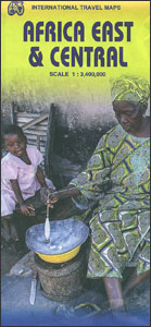
Eastern and central Africa at 1:3,400,000 on a double-sided indexed map from ITMB with altitude colouring to show its topography and highlighting of numerous national parks and other protected areas. Coverage extends from the northern borders of Kenya and Uganda to southern border of Zimbabwe, and westwards to include parts of the Democratic Republic of
USA Pacific Coast ITMB
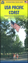
Pacific Coast of United States on a double-sided, indexed map at 1:1,000,000 from ITMB with altitude colouring showing the region’s topography. The map divides the region north/south with a small overlap between the sides and extends north to include Vancouver and the southern part of Vancouver Island. Given the map projection, the southern half includes
Africa South & Central ITMB
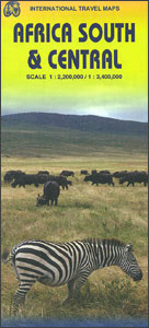
Central and southern presented together by ITMB a double-sided, indexed map from ITMB with altitude colouring to show the topography and highlighting of numerous national parks and other protected areas. On one side is central Africa at 1:3,400,000; coverage extends from the southern part of the Democratic Republic of Congo and southern Tanzania to include
Jordan & Syria ITMB
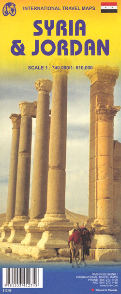
Jordan at 1:610,000 with a street plan of Amman, plus Syria at 1:740,000 with a street plan of Damascus on a double-sided map from ITMB, with each road map indexed and presenting the topography by altitude colouring.On one side is a map of Jordan at 1:610,000 with the whole of Israel and southern Lebanon. On
Uruguay & Montevideo ITMB
Uruguay and Montevideo on a double-sided map from ITMB combining a road map at 1:800,000 with a street plan of the capital’s central districts, plus a enlargement of its environs and street plans of central Colonia del Sacramento and Punta del Este.On one side is an indexed road map of Uruguay at 1:800,000 with coverage
Kuwait & Kuwait City ITMB
Kuwait at 1:390,000 plus an indexed street plan of Kuwait City at 1:15,000 from ITMB, each covering roughly one half of this map. The street plan highlights the network of main traffic arteries and indicates the proposed routes of metro lines. Various institutions, facilities and places of interest are marked, including selected hotels (with names),
Kenya ITMB
Kenya at 1:920,000 on a waterproof and tear-resistant, double-sided indexed road map from ITMB, with a street plan of central Nairobi. The map divides the country north/south along the equator, with generous overlap on both sides. Topography is shown by bright altitude colouring with contours at 500 feet intervals; heights of most peaks are given
Estonia & Tallinn ITMB
Estonia and Tallin at 1:400,000 and 1: 8,000 respectively, on a double-sided, indexed road map from ITMB including an enlargement of Tallin Old Town.The map displays Estonia on one side and Tallin on the other, each showing a separate index. Road networks distinguish motorways, major and minor roads with intermediate distances on connecting roads. Railways
Florida & US Deep South ITMB
Florida and the Deep South states on a double-sided, indexed road map from ITMB printed on light, waterproof and tear-resistant synthetic paper. On one side is Florida shown at 1:720,000 without the panhandle. The map shows the state’s road network and railway lines, highlighting various places of interest and protected areas, many accompanied by brief
Hungary & Budapest ITMB
Waterproof and tear-resistant, double-sided map from ITMB presenting on one side a clear, indexed street plan of Budapest with on the reverse and indexed map of Hungary at 1:540.000, plus an enlargement of the capital’s environs and a diagram of its metro network.On one side a street plan of Budapest extends, roughly, from the Magrit
Czech Republic ITMB
Czech Republic at 1:370,000 on a double-sided, indexed map from ITMB presenting the country’s road network on a base with altitude colouring, plus an enlargement showing road access to central Prague and a street plan of the city.The map divides the country east/west with a small overlap between the sides. Driving distances are marked on
Burkina Faso & Niger ITMB
Burkina Faso and Niger on a double-sided, indexed map from ITMB, presenting each country separately at 1:1,000,000 1:1,950,000 respectively and accompanied by street plans of Ouagadougou, Bobo-Dioulasso and Niamey. Altitude colouring shows the topography (with bands in feet in Burkina Faso and in metres in Niger). In Burkina Faso the map indicates areas of periodic
Cameroon & Gabon ITMB
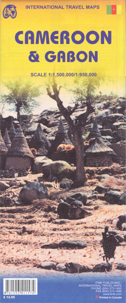
Indexed, double-sided map showing on one side Cameroon at 1:1,500,000 and on the reverse Gabon with Equatorial Guinea at 1:950,000, with street plans of Yaounde, Douala and Librรฉville.Both maps have altitude colouring with spot heights and indicate wetlands, swamps and mangrove areas. Elevation in Cameroon is shown in feet, whilst in Gabon in metres. Road
Cayman Islands & Jamaica ITMB

Cayman Islands and Jamaica on an indexed map from ITMB, presenting the individual Cayman islands at 1:37,500 with a street plan George Town, plus on the reverse Jamaica at 1:250,000 with plans of Kingston and five other locations.On one side Cayman Islands are shown on two separate panels: Grand Cayman Island, plus Little Cayman with
Great Lakes ITMB

The Great Lakes of United States and Canada on an indexed, double-sided map at 1:1,000,000 from ITMB. The map divides the region east/west with a small overlap between the sides and is orientated with the north-west at the top to provide coverage of this large region at a good scale, extending on the Canadian side
Chad ITMB
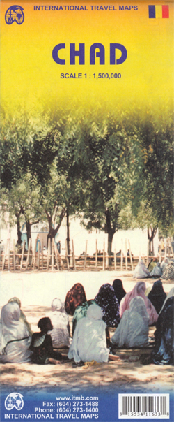
Chad on a double-sided, indexed map with a street plan of central N’djamena. The map has altitude colouring but with no spot heights and relatively few names of geographical features. River network is presented in more detail and with more names, including seasonal streams and swamps. National parks are prominently marked. Road network includes unpaved
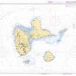
Dominica & Saint Lucia ITMB

Dominica and Saint Lucia on a double-sided map from ITMB showing each island on one side accompanied by street plans of Roseau and Castries respectively. The islands’ topography is shown by contours and altitude colouring.On one side is Dominica at 1:50,000. Contour lines are at 25m intervals. The Waiukubuli National Hiking Trail is prominently marked.