Category Archives: Maps
Mali ITMB
Mali at 1:1,700,000 on a double-sided indexed road map from ITMB, with large street plans of Bamako and Timbuktu (Tombouctou), a distance table, an inset indicating the extent of the Mali Empire and historical notes about European explorers of the region.The map divides the country east/west, with a good overlap between the sides. The country’s
Sudan ITMB
Sudan, before the separation of South Sudan as an independent country, on an indexed road at 1:2,500,000 from ITMB, with a small plan of Khartoum Relief is rendered through altitude colouring with spot heights and additional graphics show sand dunes, lava fields, salt flats, marshes and swamps, oases, wells and areas liable to seasonal flooding.
Silk Road ITMB Travel Atlas

Silk Road Travel Atlas from ITMB in a handy A5 size paperback format, showing the route from the Mediterranean ports of Syria and Lebanon, across Baghdad, Teheran, Bukhara, Samarkand, Tashkent and Kashgar to Xi’an on maps at varying scales, accompanied by a selection of street plans.The atlas uses the cartography from ITMB’s maps of the
Mauritius & Reunion ITMB
A double-sided map from ITMB presenting on one side Mauritius (1:90,000) with Rodrigues (1:140,000 approx.) and street plans of central Port Louis and Curepipe, with on the reverse a map of Reunion at 1:80,000. The islands are presented with altitude colouring and spot heights, plus names of various topographic features. National parks and other protected
Turkey ITMB
Turkey on an indexed road map at 1:1,100,000 from ITMB printed on light, waterproof and tear-resistant synthetic paper; an inset provides a street plan of the old historic part of Istanbul with the city’s main tourist sights. The map is double-sided, with a small overlap between the sides. Most of the Mediterranean coastline is covered
Nepal ITMB
Nepal on an indexed, double-sided map with an enlargement for Kathmandu Valley and a street plan of the capital. The map divides the country east/west, with a generous overlap between the two sides. Topography is shown by elevation colouring with peak heights in metres, but, given the importance of geography to the country’s tourism, relatively
New Guinea (Papua New Guinea and Indonesia) ITMB
New Guinea Island on a double-sided, indexed map from ITMB covering on one side Papua New Guinea at 1:2,000,000 and on the reverse the Papua Province of Indonesia with the adjoining islands of western Indonesia. On one side is a map of Papua New Guinea at 1:2,000,000 covering the whole of the country except for
Peru ITMB
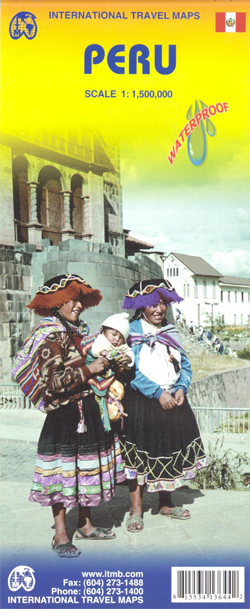
Peru at 1:1,500,000 on a double-sided, waterproof and tear-resistant, indexed map from ITMB, with large, clear street plans of central Lima and Cusco, highlighting accommodation, places of interest and various facilities.The map divides the country north/south, approximately along the line between the Cordillera Blanca and Cordillera Huyahuash, with very little overlap between the two sides.
Spain & Portugal ITMB
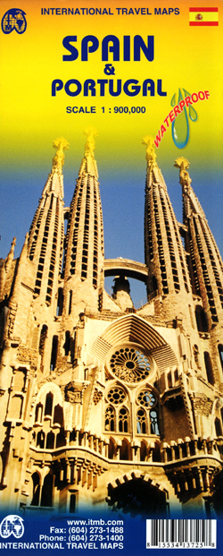
Spain with Portugal at 1:900,000 on a large, double-sided, indexed map printed on waterproof and tear-resistant plastic paper. Altitude colouring presents the topography of the Iberian Peninsula, with plenty of names of sierras, etc. However, elevation tints are graded in the legend as shown in feet, peak heights are given on the map in metres,
Qatar and Doha City ITMB
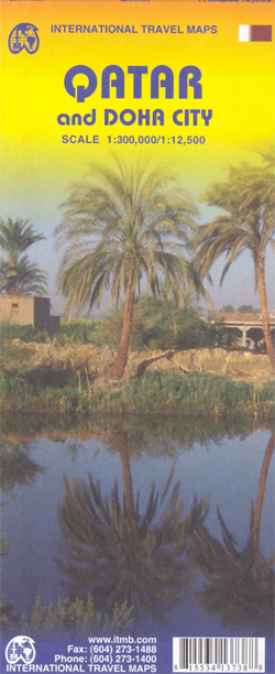
Doha City on an indexed street plan at 1:12,500 from ITMB, plus a map of Qatar with Bahrain at 1:300,000 indicating both developments in progress and future plans including the train line and the causeway to Bahrain. All place names are shown in Latin alphabet only.The street plan extends from the current (2009) International Airport
Pakistan ITMB
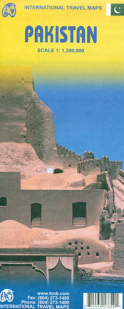
Pakistan at 1:1,200,000 on a double-sided, indexed road map from ITMB with a street plan of central Karachi. Altitude colouring indicates the country’s topography and various places of interest are highlighted on the map.The map divides the country north/south, with a generous overlap between the sides. The country’s topography is shown by bold altitude colouring
Reykjavik & SW Iceland ITMB
Iceland at 1:425,000 on a double-sided indexed road map from ITMB, printed on light waterproof and tear-resistant plastic paper, with a large street plan of central Reykjavik. The map divides the country east/west with a very small overlap between the sides. Altitude colouring with spot heights and plenty of names of various geographical features shows
Sierra Leone ITMB
General, indexed road map of the country with a basic Freetown street plan and brief notes on the country’s history and places of interest. Altitude colouring and spot heights indicate the relief, and swamp areas are also are indicated. Road detail includes selected minor roads and tracks. The map also shows both the railway from
Estonia & Tallinn ITMB
Estonia and Tallin at 1:400,000 and 1: 8,000 respectively, on a double-sided, indexed road map from ITMB including an enlargement of Tallin Old Town.The map displays Estonia on one side and Tallin on the other, each showing a separate index. Road networks distinguish motorways, major and minor roads with intermediate distances on connecting roads. Railways
Florida & US Deep South ITMB
Florida and the Deep South states on a double-sided, indexed road map from ITMB printed on light, waterproof and tear-resistant synthetic paper. On one side is Florida shown at 1:720,000 without the panhandle. The map shows the state’s road network and railway lines, highlighting various places of interest and protected areas, many accompanied by brief
Hungary & Budapest ITMB
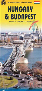
Waterproof and tear-resistant, double-sided map from ITMB presenting on one side a clear, indexed street plan of Budapest with on the reverse and indexed map of Hungary at 1:540.000, plus an enlargement of the capital’s environs and a diagram of its metro network.On one side a street plan of Budapest extends, roughly, from the Magrit
Czech Republic ITMB
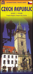
Czech Republic at 1:370,000 on a double-sided, indexed map from ITMB presenting the country’s road network on a base with altitude colouring, plus an enlargement showing road access to central Prague and a street plan of the city.The map divides the country east/west with a small overlap between the sides. Driving distances are marked on
Costa Rica ITMB

Costa Rica on a waterproof and tear-resistant map from ITMB at 1:300,000, with a plan of central San Josรฉ, an enlargement for the environs of the capital, and a separate index of place names for each side of the map. The country is divided north/south, with a very generous overlap and San Josรฉ included on
Route 66 “The Mother Road” ITMB Road Atlas
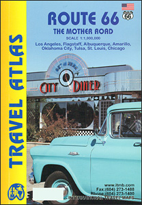
Route 66 between Los Angeles and Chicago presented in a handy size, A5 paperback atlas using extracts from ITMB’s mapping of USA at 1:1,000,000, plus street plans and/or enlargements for main towns along that historic route: LA, Flagstaff, Albuquerque, Amarillo, Oklahoma City, Tulsa, St Louis and Chicago.The course of Route 66 is highlighted on mapping