Category Archives: Maps
Krakow ITMB
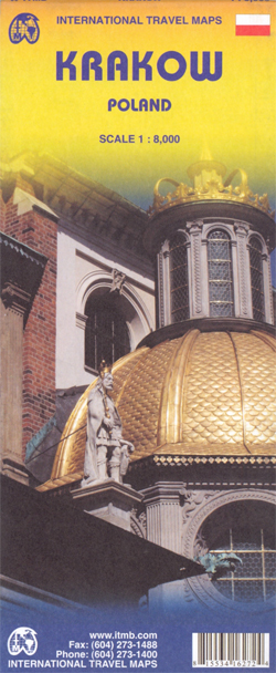
Clear and easy to read tourist street plan of Krakow/Cracow, with a detailed enlargement of the city’s historic centre including the old Jewish district of Kazimierz, plus a road map of the environs for day trips to the Wieliczka salt mine or to Auschwitz.The main plan at 1:8,000 covers the city’s central area and the
US / Mexico Border ITMB
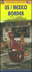
The border between USA and Mexico with the adjoining regions on both sides on a map at 1:1,390,000 from ITMB with altitude colouring presenting the topography. The map is double-sided, with a very small overlap between the sides, and extends north within US to La Vegas and Houston, and in Mexico southwards to cover about
Java ITMB
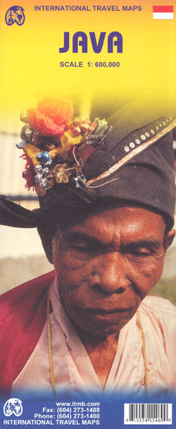
Java at 1:600,000 on a double-sided, indexed map with large insets showing street plans of city centres in Jakarta, Bandung, Cirebon, Yogyakarta, Surabaya, Semarang, Surakarta (Solo) and Malang, plus enlargements showing access to the Prambanan temples, Kangean Island and the Dieng Plateau.The island is divided east/west with a generous overlap between the two sides. Its
Japan ITMB

Japan at 1:1,100,000 from ITMB on a double-sided, indexed road map printed on light, waterproof and tear-resistant plastic paper, with enlargements showing the environs of Tokyo, Kyoto – Nara and Osaka in greater detail.The map divides the country north-south along the Honshu Island with a good overlap between the two sides and a separate index
Cusco & Peru South ITMB
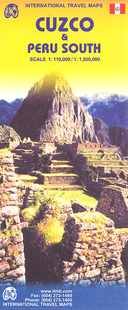
Cusco region at 1:110,000 on a double-sided map from ITMB with street plans of Cusco and Aguas Calientes, an enlargement for the Inca Trail and a plan of the ruins at Machu Picchu, plus on the reverse a road map of southern Peru and a street plan of central Lima.On one side is a detailed
Jakarta ITMB
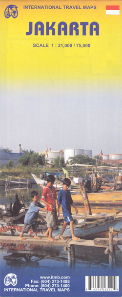
Jakarta on a double-sided map from ITMB combining a street plan of city’s central district at 1:21,000 with a more general overview of Greater Jakarta at 1:75.000. Both plans are indexed and highlight places of interest, services and facilities, etc.On one side is a street plan at 1:21,000 of the city’s central districts with coverage
Himalaya ITMB
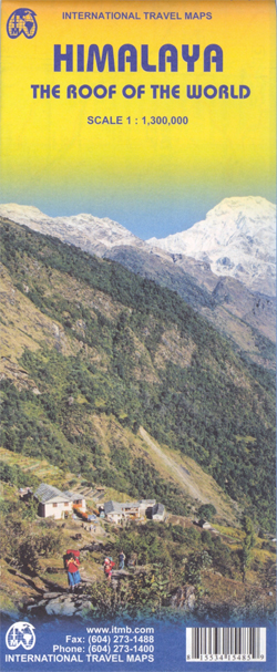
Himalayas at 1:1,300,000 from ITMB, providing coverage from Kabul and the Hindu Kush to the north-eastern states of India and eastern Tibet. The map is double-sided, with a separate index for each side, and drawn with north-northeast at the top.Coverage on one side extends from Kabul across northern Pakistan to Delhi, western Nepal and Mount
Kabul & Historic Khyber Pass ITMB
Kabul and the Historic Khyber Pass map from ITMB combining on one side a street plan of Kabul showing government buildings, embassies, accommodation, etc, plus on the reverse the eastern half of Afghanistan on an indexed road map.On one side is a street plan of Kabul at 1:16,500 extending well beyond the central part of
India North and West ITMB
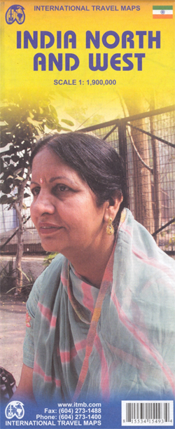
Northern and western India on a double-sided, indexed map from ITMB, providing on each side useful coverage of some of the country’s most visited areas. Each side of the map has a separate index of localities.The northern side is centred on Delhi and extends north to the Line of Control dividing Jammu and Kashmir. Coverage
Lima & Central Peru ITMB
Central Lima at 1:13.000 on a clear, indexed street plan from ITMB plus, on the reverse a road map of central Peru at 1:1,500,000 with coverage of the country’s most visited sites including Cuzco and Machu Picchu, Cordillera Blanca and Huayhuash, Nazca, etc.On once side is an indexed street plan of central Lima, including its
Munich & Bavaria ITMB
Waterproof and tear-resistant, indexed street plan of Munich from ITMB, prominently showing the city’s public transport network including tram lines with stops, plus on the reverse a road map of Bavaria, also with an index. Coverage extends north to include the Olympiastadion, the BMW museum and Schwabing.The plan very clearly shows the city’s public transport
Southern Vietnam – Mekong Delta ITMB
Double-sided indexed map with street plans of central Ho Chi Min City, Da Lat and Can Tho. The main map at 1:800,000 shows the area’s road and rail networks and local airports. The Ho Chi Minh Trail is highlighted, as are national parks, nature reserves, beaches, numerous places of interest, fuel supplies, etc. Provincial boundaries
Mexico North-East ITMB

Indexed road map covering the area from Rio Grande to Aguascalientes, extending westwards to Gรณmez Palacio, Torreรณn and Ciudad Lerdo. Altitude tinting represents the general relief, with spot heights for major peaks, swamp areas and national parks marked. Road detail includes some minor roads and tracks, and shows intermediate distances on major routes. Main railways
Oaxaca & Chiapas ITMB
Indexed road map covering these provinces in southern Mexico, with plan of central Oaxaca included. Altitude tinting represents the general relief, with spot heights for major peaks, swamp areas and national parks marked. Road detail includes some minor roads and tracks, and shows intermediate distances on major routes. Main railways and province boundaries are drawn
Caribbean Islands East & South ITMB Travel Atlas

The islands of the eastern and southern Caribbean presented by ITMB in a handy size, A5, paperback, indexed atlas with city centre street plans of main cities. The mapping is taken from ITMB’s extensive coverage of the region on individual country maps, so scales vary.The atlas covers: Antigua and Barbuda (1:35,000/25,000, with street plans of
Antigua & Dominica ITMB

Dominica at 1:50,000 with Antigua at 1:35,000, each shown on one side of a map from ITMB indexed and accompanied by street plans of Roseau plus St John’s and the English Harbour area respectively. Road network is presented on a base showing the islands’ topography by contours and altitude colouring.Symbols indicate various places of interest
Indian Subcontinent ITMB Travel Atlas
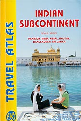
The countries of the Indian Subcontinent presented by ITMB in a handy size, A5, paperback, indexed atlas with city centre street plans of main cities. The mapping is taken from ITMB’s coverage of the region on individual country maps, so scales vary.The atlas covers: Bangladesh (1:345,000, Dhaka), Bhutan (1:345,000, Thimphu and Paro), India (1:2,100,000, Delhi,
Africa Northwest ITMB
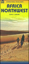
North-Western Africa at 1:3,800,000 on a double-sided indexed map from ITMB altitude colouring to show its topography and highlighting of numerous national parks and other protected areas. Coverage extends to the eastern border of Libya, and south to Yaounde and Bangui, so includes most of Chad, Central African Republic and Cameroon.The map shows the region’s
Tanzania ITMB

Tanzania at 1:1,370,000 on a double-sided, indexed, waterproof and tear-resistant road map from ITMB with bold altitude colouring to show the country’s topography, street plans of Dar Es Salaam, Arusha and Zanzibar Stone Town, plus notes about the country’s history and geography.The map divides the country north/south, with Dar Es Salaam and Zanzibar shown on
Geneva & Switzerland ITMB
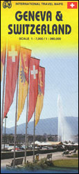
Double-sided map from ITMB presenting on one side a clear, indexed street plan of Geneva with a diagram of its tram network, plus on the reverse an indexed road map of Switzerland at 1:360,000. The plan extends north to include the city’s international airport and the Palexpo grounds. Tram routes are shown with stops, main