Category Archives: Maps
US/Canada Border ITMB
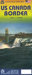
The regions adjoining border between USA and Canada on a double-sided, indexed road map from ITBM with street plans of downtown Vancouver and Victoria, plus enlargements for the Seattle conurbation, Sault Ste. Marie region, Toronto, Chicago, the environs of Boston, and New York City.The map is double-sided, with a good overlap between the sides, and
Marrakesh & Northern Morocco ITMB
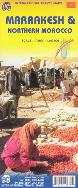
Street plan of Marrakesh backed by a map of northern Morocco (i.e. the whole country without the Western Sahara), with additional smaller plans of Rabat with Sale, Tangier and Casablanca, printed on light, waterproof and tear-resistant plastic paper.On one side is a map of the country extending south beyond 28ยบ, i.e. not covering the Western
Washington DC & Eastern Corridor (Boston to DC) ITMB

Central Washington DC on clear, well presented indexed street plan from ITMB with a diagram of the metro network and a road map of the capital’s environs, plus on the reverse a road map of the Eastern Seaboard from Boston to beyond Raleigh in North Carolina, extending inland to Niagara Falls and Pittsburgh.On one side
Manila ITMB
Manila at 1:12,000 on a double-sided indexed street plan from ITMB, with a diagram of the city’s metro network. The plan divides the city north/south, roughly along the upper part of the Pasig River, with a generous overlap between the two sides.Coverage of the northern side extends to Caloocan City – San Francisco del Monte
Miami & South Florida ITMB
ITMB’s Miami and South Florida, printed on light waterproof and tear-resistant paper, combines a road map of the southern part of the state with a detailed street plan of Miami, both fully indexed. Coverage includes the whole of Florida Keys.On one side is a road map at 1:400,000 of southern Florida covering the area south
Saskatchewan ITMB
Double-sided map of Saskatchewan Province at 1:900,000, part of a series of maps of Canadian provinces from the Vancouver-based ITMB, with topography presented by altitude colouring rather than by relief shading.Road and rail networks are shown on a clear base with numerous national or regional parks and nature reserves prominently marked. Winter roads and tracks
Orlando & Central Florida ITMB
ITMB’s Orlando and Central Florida combines a coast-to-coast road map of the central part of the state with four more detailed maps: Disney World, International Drive with the Sea World, a large plan of central Orlando, and a map of the wider region of the city including access to Disney World.On one side is a
Paris & France North ITMB

Clear, well presented, indexed tourist plan of Paris from ITMB, printed on light, waterproof and tear-resistant plastic paper, with on the reverse an indexed road map of north-central France for day trips from the capital.The plan clearly marks metro and RER stations, indicating line numbers and highlights main traffic routes across the city. Within the
Philadelphia & Mid-Atlantic States ITMB

Philadelphia and the Mid-Atlantic States of USA on a waterproof and tear-resistant map from ITMB, offering on one side a clear street plan of central Philadelphia and on the reverse an indexed road map extending from Boston to Jacksonville in North Carolina and inland to Niagara Falls and Pittsburgh.On one side is an indexed street
Riga ITMB
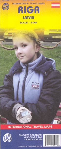
Riga Street Plan form ITMB with an enlargement for the Old Town, a map of the city’s environs and a diagram of its tram and railway networks. The plan covers the city’s central districts, highlighting various sights and facilities. Tram, trolleybus and bus routes are shown with line numbers and stops. A separate enlargement at
Melbourne ITMB
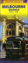
Melbourne’s central districts on an indexed street plan from ITMB with tram routes shown with line numbers and stops, highlighting for important buildings and selected hotels, plus diagrams of the commuter rail and tram networks, etc.The plan is very clearly laid out, prominently showing main traffic arteries, the lines of the Yarra Trams network including
Trinidad & Tobago ITMB
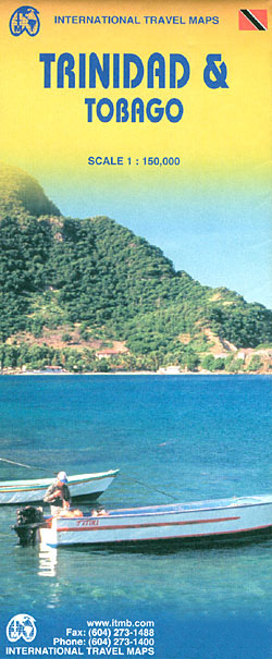
Tobago and Trinidad at 1:150,000 indexed, clear road map from ITMB with additional topographic and tourist information.Road networks include motorways, primary and secondary roads and tracks, with intermediate distances in kilometres on expressways, main and secondary roads. Symbols clearly indicate petrol stations and airports; railways and ferry routes are shown. Topography is represented by altitude
Osaka & Western Japan ITMB

Osaka on a detailed street plan at 1:12,500 from ITMB, with a diagram of the city’s metro/rail networks and a road map of the Osaka conurbation including the Kansai International Airport, plus a street plan of central Kobe and, on the reverse, an indexed road map of western Japan at 1:670,000 with enlargements for the
US / Mexico Border ITMB

The border between USA and Mexico with the adjoining regions on both sides on a map at 1:1,390,000 from ITMB with altitude colouring presenting the topography. The map is double-sided, with a very small overlap between the sides, and extends north within US to La Vegas and Houston, and in Mexico southwards to cover about
Java ITMB
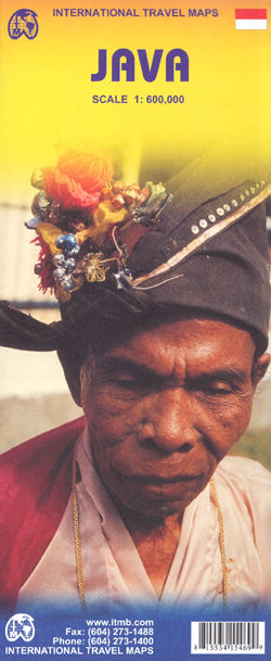
Java at 1:600,000 on a double-sided, indexed map with large insets showing street plans of city centres in Jakarta, Bandung, Cirebon, Yogyakarta, Surabaya, Semarang, Surakarta (Solo) and Malang, plus enlargements showing access to the Prambanan temples, Kangean Island and the Dieng Plateau.The island is divided east/west with a generous overlap between the two sides. Its
Japan ITMB
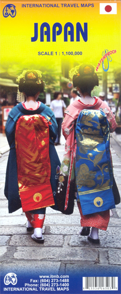
Japan at 1:1,100,000 from ITMB on a double-sided, indexed road map printed on light, waterproof and tear-resistant plastic paper, with enlargements showing the environs of Tokyo, Kyoto – Nara and Osaka in greater detail.The map divides the country north-south along the Honshu Island with a good overlap between the two sides and a separate index
Cusco & Peru South ITMB
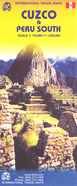
Cusco region at 1:110,000 on a double-sided map from ITMB with street plans of Cusco and Aguas Calientes, an enlargement for the Inca Trail and a plan of the ruins at Machu Picchu, plus on the reverse a road map of southern Peru and a street plan of central Lima.On one side is a detailed
Jakarta ITMB
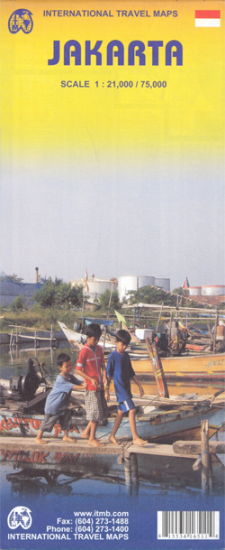
Jakarta on a double-sided map from ITMB combining a street plan of city’s central district at 1:21,000 with a more general overview of Greater Jakarta at 1:75.000. Both plans are indexed and highlight places of interest, services and facilities, etc.On one side is a street plan at 1:21,000 of the city’s central districts with coverage
Himalaya ITMB
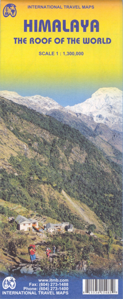
Himalayas at 1:1,300,000 from ITMB, providing coverage from Kabul and the Hindu Kush to the north-eastern states of India and eastern Tibet. The map is double-sided, with a separate index for each side, and drawn with north-northeast at the top.Coverage on one side extends from Kabul across northern Pakistan to Delhi, western Nepal and Mount