Category Archives: Maps
Algonquin Park ITMB
Waterproof and tear-resistant topographic survey map of Algonquin Park at 1:250,000 from ITMB, with an 1:50,000 enlargement of the Haliburton County and Nipissing District on the reverse. Both maps show highways with differentiation of the number of lanes indicated, loose surface roads, cart tracks, and trails are marked. Points of interest are highlighted such as
Revelstoke National Park ITMB
Revelstoke National Park at 1:50,000 in a series of topographic survey maps of selected areas of British Columbia and the Canadian Rockies from ITMB with cartography from Canada’s national survey organization. Most sheets are printed on light, waterproof and tear- resistant plastic paper.Whilst the Canadian Department of Natural Resources (previously Canada Map Office) decides whether
Bowron Lakes Canoe Route ITMB
Bowron Lakes Canoe Route at 1:50,000 in a series of topographic survey maps of selected areas of British Columbia and the Canadian Rockies from ITMB with cartography from Canada’s national survey organization. Most sheets are printed on light, waterproof and tear- resistant plastic paper.Whilst the Canadian Department of Natural Resources (previously Canada Map Office) decides
Strathcona Plateau – Buttle Lake ITMB
Strathcona Plateau – Buttle Lake at 1:250,000 and 1:50,000 in a series of topographic survey maps of selected areas of British Columbia and the Canadian Rockies from ITMB with cartography from Canada’s national survey organization. Most sheets are printed on light, waterproof and tear- resistant plastic paper.Whilst the Canadian Department of Natural Resources (previously Canada
Gulf Islands – Nanaimo and Islands ITMB
Gulf Islands – Nanaimo and Islands at 1:50,000 in a series of topographic survey maps of selected areas of British Columbia and the Canadian Rockies from ITMB with cartography from Canada’s national survey organization. Most sheets are printed on light, waterproof and tear- resistant plastic paper.Whilst the Canadian Department of Natural Resources (previously Canada Map
Iran & Tehran ITMB
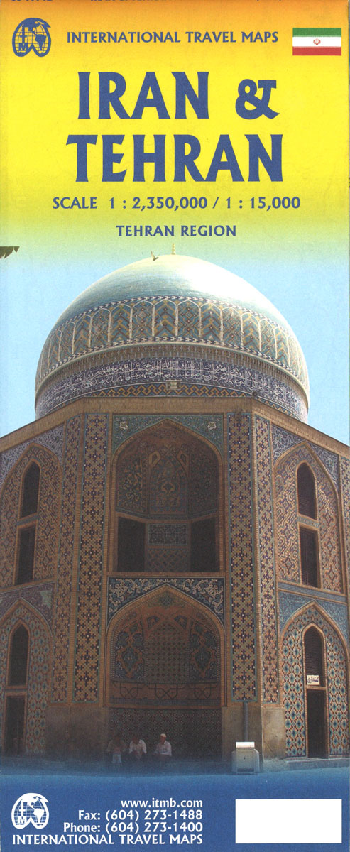
Double-sided map from the Vancouver-based ITMB showing on one side an indexed road map of Iran at 1:2,350,000 with altitude colouring to show the country’s topography, plus on the reverse a street plan of central Tehran, also indexed. All place names on both the road map and the street plan are in the Latin alphabet
Jasper National Park & Northern Alberta ITMB
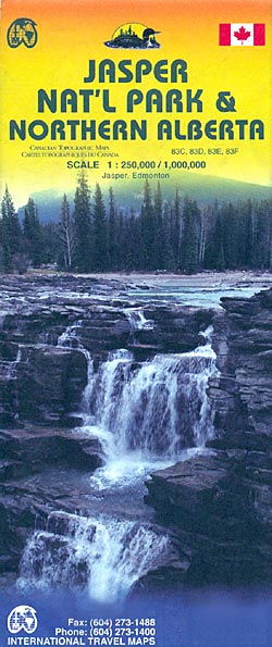
Jasper National Park and Northern Alberta on a double-sided map from ITMB combining coverage of the park with mapping from the Canadian topographic survey at 1:250,000 and a road map of northern part of Alberta province at 1:1,000,000 showing access to the park from Edmonton.On one side is coverage of the Jasper National Park and
Okanagan & Shuswap ITMB
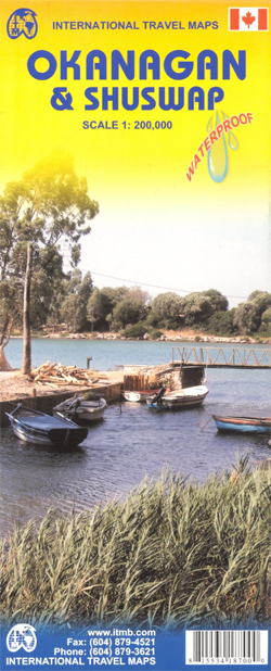
Double-sided, waterproof and tear-resistant map at 1:200,000 from ITMB covering the Okanagan and Shuswap region of British Columbia, one of the most popular recreational areas of the province. Altitude colouring, spot heights and names of various mountain and hill ranges show the topography, with swamps and marshes, and the region’s extensive network of rivers and
Wells Gray – Murtle Lake ITMB
Wells Gray – Murtle Lake at 1:250,000 and 1:50,000 in a series of topographic survey maps of selected areas of British Columbia and the Canadian Rockies from ITMB with cartography from Canada’s national survey organization. Most sheets are printed on light, waterproof and tear- resistant plastic paper.Whilst the Canadian Department of Natural Resources (previously Canada
Manning Park – Skagit River ITMB
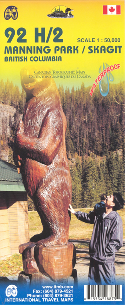
Manning Park – Skagit River at 1:50,000 in a series of topographic survey maps of selected areas of British Columbia and the Canadian Rockies from ITMB with cartography from Canada’s national survey organization. Most sheets are printed on light, waterproof and tear- resistant plastic paper.Whilst the Canadian Department of Natural Resources (previously Canada Map Office)
Manitoba ITMB
Double-sided map of Manitoba Province at 1:900,000, part of a series of maps of Canadian provinces from the Vancouver-based ITMB, with topography presented by altitude colouring rather than by relief shading.Road and rail networks are shown on a clear base with numerous national or regional parks and nature reserves prominently marked. Winter roads and tracks
Canadian Rockies – Banff – Kootenay – Yoho Parks ITMB
Canadian Rockies: Banff, Kootenay and Yoho National Parks at 1:250,000 in a series of topographic survey maps of selected areas of British Columbia and the Canadian Rockies from ITMB with cartography from Canada’s national survey organization. Most sheets are printed on light, waterproof and tear- resistant plastic paper.Whilst the Canadian Department of Natural Resources (previously
Lower Mainland – Richmond & New Westminster ITMB
Lower Mainland – Richmond and New Westminster at 1:250,000 and 1:50,000 in a series of topographic survey maps of selected areas of British Columbia and the Canadian Rockies from ITMB with cartography from Canada’s national survey organization. Most sheets are printed on light, waterproof and tear- resistant plastic paper.Whilst the Canadian Department of Natural Resources
Tweedsmuir Provincial Park ITMB
Tweedsmuir Provincial Park at 1:250,000 in a series of topographic survey maps of selected areas of British Columbia and the Canadian Rockies from ITMB with cartography from Canada’s national survey organization. Most sheets are printed on light, waterproof and tear- resistant plastic paper.Whilst the Canadian Department of Natural Resources (previously Canada Map Office) decides whether
Philadelphia & Mid-Atlantic States ITMB
Philadelphia and the Mid-Atlantic States of USA on a waterproof and tear-resistant map from ITMB, offering on one side a clear street plan of central Philadelphia and on the reverse an indexed road map extending from Boston to Jacksonville in North Carolina and inland to Niagara Falls and Pittsburgh.On one side is an indexed street
Riga ITMB
Riga Street Plan form ITMB with an enlargement for the Old Town, a map of the city’s environs and a diagram of its tram and railway networks. The plan covers the city’s central districts, highlighting various sights and facilities. Tram, trolleybus and bus routes are shown with line numbers and stops. A separate enlargement at
Melbourne ITMB
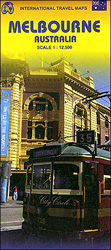
Melbourne’s central districts on an indexed street plan from ITMB with tram routes shown with line numbers and stops, highlighting for important buildings and selected hotels, plus diagrams of the commuter rail and tram networks, etc.The plan is very clearly laid out, prominently showing main traffic arteries, the lines of the Yarra Trams network including
Trinidad & Tobago ITMB
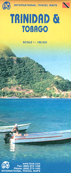
Tobago and Trinidad at 1:150,000 indexed, clear road map from ITMB with additional topographic and tourist information.Road networks include motorways, primary and secondary roads and tracks, with intermediate distances in kilometres on expressways, main and secondary roads. Symbols clearly indicate petrol stations and airports; railways and ferry routes are shown. Topography is represented by altitude
Osaka & Western Japan ITMB
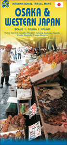
Osaka on a detailed street plan at 1:12,500 from ITMB, with a diagram of the city’s metro/rail networks and a road map of the Osaka conurbation including the Kansai International Airport, plus a street plan of central Kobe and, on the reverse, an indexed road map of western Japan at 1:670,000 with enlargements for the
Seattle & Northwest USA ITMB
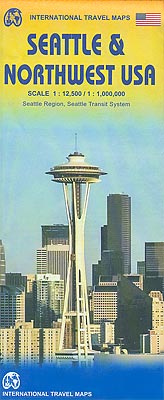
Seattle and Northwest USA on an indexed, double-sided map from ITMB combining a street plan of the city, annotated with selected hotels and places of interest, with a road map of the north-western part of USA.On one side is a very clear plan of Seattle at 1:12,500. Exits and entries onto the highways are well