Category Archives: Maps
Bosnia & Montenegro ITMB
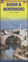
Bosnia-Herzegovina and Montenegro presented at 1:400,000 on a double-sided road map from ITMB. The map divides the region north/south, with a very generous overlap and Sarajevo included on both sides. Coverage includes the whole of Kosovo. Names of larger towns in Montenegro, Kosovo and in the adjoining regions of Serbia are also shown in the
Africa Western ITMB
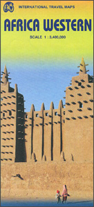
Western Africa at 1:3,400,000 on an indexed, double-sided map from ITMB providing coverage of the whole of Benin, Burkina Faso, Gambia, Ghana, Guinea, Guinea Bissau, Ivory Coast, Liberia, Mali, Mauritania, Morocco, Senegal, Sierra Leone and Togo, plus most of Algeria and the western parts of Niger and Nigeria. The map is double-sided, dividing the region
England & Wales ITMB
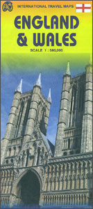
England and Wales on an indexed road map at 1:580,000 from the Vancouver-based ITMB, with coverage extending north just beyond Perth and Dundee to include the southern and the central part of Scotland. The map is double-sided, with a good overlap between the sides, and shows the road network with the numbering of the A
USA South: Atlantic States ITMB
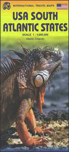
The southern part of the Atlantic Seaboard of USA on an indexed, double-sided road map at 1:1,000,000 from ITMB, with an enlargement of the Orlando Region including Disney World, plus street plans of the International Drive area, downtown Miami, and Miami Beach. Coverage by the road map extends north to Philadelphia, and westwards to Pittsburgh
Beijing & the Great Wall ITMB
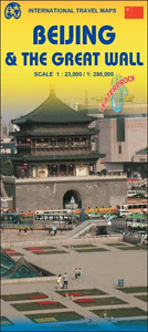
Beijing on a light, waterproof and tear-resistant map combining a street plan of the city at 1:23,000 with, on the reverse, a road map of its environs clearly showing the existing parts of the Great Wall and its entire course, plus numerous other historical and recreational sites.On one side is a very clear, easy to
Martinique & Guadeloupe ITMB
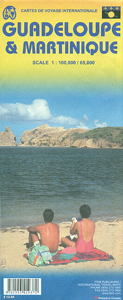
Martinique and Guadeloupe with Saint-Barthรฉlemy and Saint Martin at 1:65,000 and 1:100,000 respectively on a double-sided map from ITMB presenting each island with a street plan of the town centre in its capital. On one side is Martinique at 1:65,000 a street plan of Fort-de-France at 1:10,000. On the reverse coverage of Guadeloupe at 1:100,000
Cariboo Chilcotin ITMB
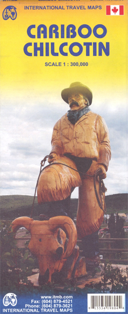
Double-sided road map at 1:300,000 from ITMB covering the Chilcotin Cariboo region of British Columbia, one of the most popular recreational areas of the province. Altitude colouring, spot heights and names of various mountain and hill ranges show the topography, with swamps and marshes, and the region’s extensive network of rivers and lakes. National parks
Fraser Valley and Vancouver ITMB
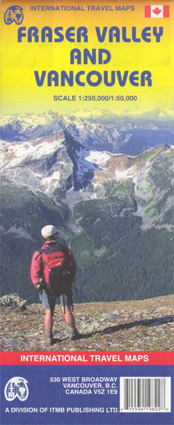
Double-sided map from ITMB combining coverage of the south-western tip of British Columbia at 1:250,000 with a more detailed road map of the Vancouver conurbation. On one side is a road map covering the area from Vancouver northwards to Whistler and eastwards beyond the Fraser Valley to Princeton. The map has altitude colouring with spot
USA: East Half ITMB
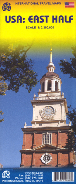
The eastern half of USA at 1:2,300,000 on a double-sided, indexed map with enlargements for the environs of Washington DC and Orlando, plus Florida Keys. Coverage extends west to Oklahoma City and eastern Texas with Dallas, Houston and San Antonio.The map has altitude colouring to show the topography and presents the road network clearly highlighting
North Vancouver – Port Coquitlam ITMB
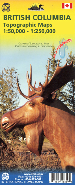
North Vancouver – Port Coquitlam at 1:50,000 in a series of topographic survey maps of selected areas of British Columbia and the Canadian Rockies from ITMB with cartography from Canada’s national survey organization. Most sheets are printed on light, waterproof and tear- resistant plastic paper.Whilst the Canadian Department of Natural Resources (previously Canada Map Office)
USA: West Half ITMB
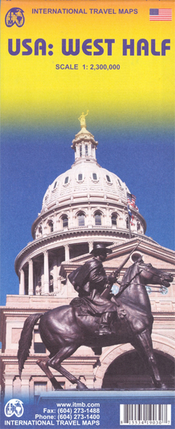
The western half of USA at 1:2,300,000 on a double-sided, indexed map with enlargements for the environs of Los Angeles, San Francisco, Denver and San Antonio. Coverage extends east to Oklahoma City and Houston.The map has bright altitude colouring to show the topography and presents the road network clearly highlighting main interstate freeways. National or
British Columbia ITMB Pocket Road Atlas
75-page, A5 paperback atlas of British Columbia from the Vancouver based ITMB, with street plans of central Vancouver, Victoria and Whistler Village, plus enlargements for the southern tip of the Vancouver Island, the environs of Vancouver and the recreational area around Whistler.The southern half of the province, including most of the Queen Charlotte Islands is
Alaska – Dempster and Dalton Highways ITMB Road Atlas
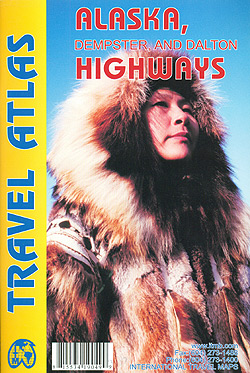
Alaska: Alaska, Dempster and Dalton Highways Road Atlas from ITMB in an A5 paperback format presenting the road network across central Alaska linking Anchorage with Fairbanks and Prudhoe Bay, plus the Alaska Highway between Fairbanks and Fort St. John and other roads across northern British Columbia and Yukon in Canada.Map scales vary: 1:1,500,000 in Alaska,
Pan-Americana North ITMB Travel Atlas: Alaska to Panama
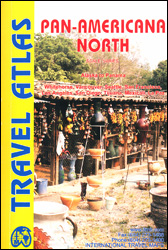
Pan-Americana North Travel Atlas from ITMB in a handy A5, paperback format showing the course of the Pan-American Highway from its northern point in Prudhoe Bay in Alaska, across western Canada and USA and along the Pacific coast of Mexico and Central America, to Yaviza in southern Panama. Several city centre street plans are included.The
Revelstoke National Park ITMB
Revelstoke National Park at 1:50,000 in a series of topographic survey maps of selected areas of British Columbia and the Canadian Rockies from ITMB with cartography from Canada’s national survey organization. Most sheets are printed on light, waterproof and tear- resistant plastic paper.Whilst the Canadian Department of Natural Resources (previously Canada Map Office) decides whether
Bowron Lakes Canoe Route ITMB
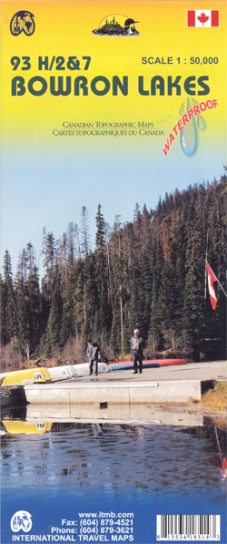
Bowron Lakes Canoe Route at 1:50,000 in a series of topographic survey maps of selected areas of British Columbia and the Canadian Rockies from ITMB with cartography from Canada’s national survey organization. Most sheets are printed on light, waterproof and tear- resistant plastic paper.Whilst the Canadian Department of Natural Resources (previously Canada Map Office) decides
Strathcona Plateau – Buttle Lake ITMB
Strathcona Plateau – Buttle Lake at 1:250,000 and 1:50,000 in a series of topographic survey maps of selected areas of British Columbia and the Canadian Rockies from ITMB with cartography from Canada’s national survey organization. Most sheets are printed on light, waterproof and tear- resistant plastic paper.Whilst the Canadian Department of Natural Resources (previously Canada
Gulf Islands – Nanaimo and Islands ITMB
Gulf Islands – Nanaimo and Islands at 1:50,000 in a series of topographic survey maps of selected areas of British Columbia and the Canadian Rockies from ITMB with cartography from Canada’s national survey organization. Most sheets are printed on light, waterproof and tear- resistant plastic paper.Whilst the Canadian Department of Natural Resources (previously Canada Map
Iran & Tehran ITMB
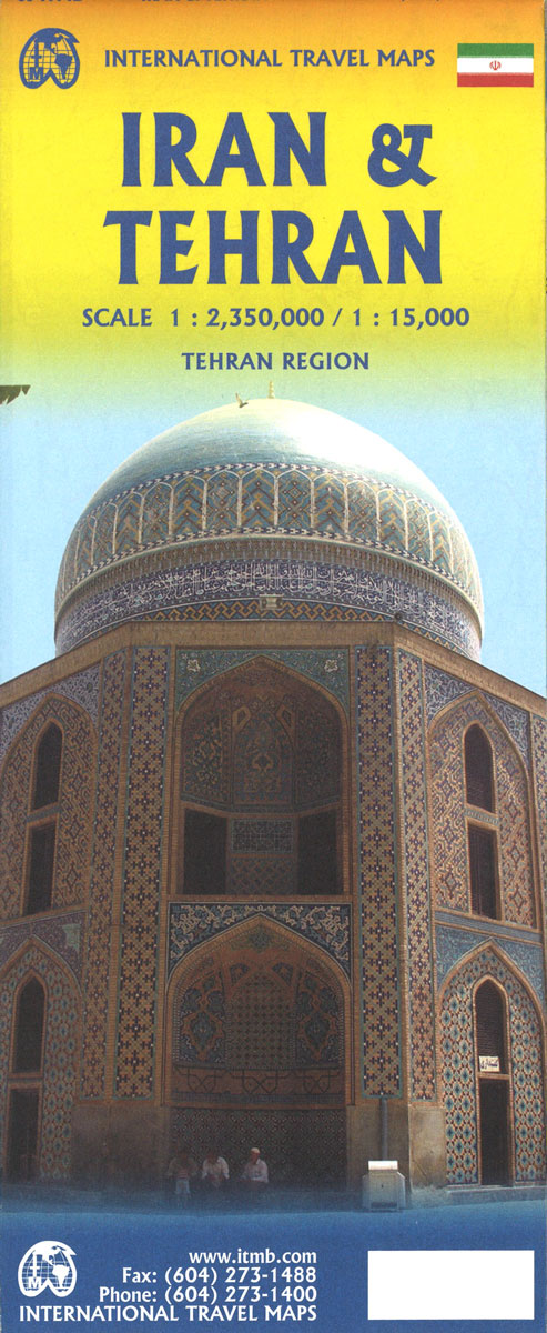
Double-sided map from the Vancouver-based ITMB showing on one side an indexed road map of Iran at 1:2,350,000 with altitude colouring to show the country’s topography, plus on the reverse a street plan of central Tehran, also indexed. All place names on both the road map and the street plan are in the Latin alphabet
Jasper National Park & Northern Alberta ITMB
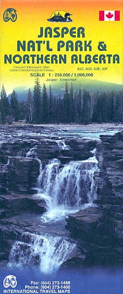
Jasper National Park and Northern Alberta on a double-sided map from ITMB combining coverage of the park with mapping from the Canadian topographic survey at 1:250,000 and a road map of northern part of Alberta province at 1:1,000,000 showing access to the park from Edmonton.On one side is coverage of the Jasper National Park and