Category Archives: Maps
Hidalgo State
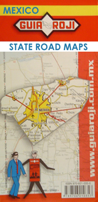
One of the titles in a series of road maps of the administrative states of Mexico, highlighting places of interest. The maps show four different grades of roads, with intermediate driving distances on main routes, railways, local airports, ferry connections and administrative boundaries. Topographic information is limited to names of main mountain ranges, spot heights
Chiapas State

One of the titles in a series of road maps of the administrative states of Mexico, highlighting places of interest. The maps show four different grades of roads, with intermediate driving distances on main routes, railways, local airports, ferry connections and administrative boundaries. Topographic information is limited to names of main mountain ranges, spot heights
Chihuahua State

One of the titles in a series of road maps of the administrative states of Mexico, highlighting places of interest. The maps show four different grades of roads, with intermediate driving distances on main routes, railways, local airports, ferry connections and administrative boundaries. Topographic information is limited to names of main mountain ranges, spot heights
Tabasco State

One of the titles in a series of road maps of the administrative states of Mexico, highlighting places of interest. The maps show four different grades of roads, with intermediate driving distances on main routes, railways, local airports, ferry connections and administrative boundaries. Topographic information is limited to names of main mountain ranges, spot heights
Queretaro State

One of the titles in a series of road maps of the administrative states of Mexico, highlighting places of interest. The maps show four different grades of roads, with intermediate driving distances on main routes, railways, local airports, ferry connections and administrative boundaries. Topographic information is limited to names of main mountain ranges, spot heights
Crimea Autonomous Republic

Administrative provinces of the Ukraine on indexed road maps at 1:250,000, each with a town centre street plan of its capital city. All place names are in Cyrillic only, but the map legend includes English.Coverage of the larger provinces is divided between the two sides of the map. Road network is presented in great detail,
San Luis Potosi State

One of the titles in a series of road maps of the administrative states of Mexico, highlighting places of interest. The maps show four different grades of roads, with intermediate driving distances on main routes, railways, local airports, ferry connections and administrative boundaries. Topographic information is limited to names of main mountain ranges, spot heights
Crimea CYRILLIC edition
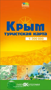
Tourist map of the Crimea at 1:300,000 from Kartografija in Kiev, with all place names in Cyrillic and the accompanying text including the map legend in Ukrainian only. City centre street plans of several towns are included.On one side is a road map of Crimea presenting the road network on a base with colouring indicating
Tlaxcala State

One of the titles in a series of road maps of the administrative states of Mexico, highlighting places of interest. The maps show four different grades of roads, with intermediate driving distances on main routes, railways, local airports, ferry connections and administrative boundaries. Topographic information is limited to names of main mountain ranges, spot heights
Chernivtsi Administrative Region

Administrative provinces of the Ukraine on indexed road maps at 1:250,000, each with a town centre street plan of its capital city. All place names are in Cyrillic only, but the map legend includes English.Coverage of the larger provinces is divided between the two sides of the map. Road network is presented in great detail,
Guanajuato State

One of the titles in a series of road maps of the administrative states of Mexico, highlighting places of interest. The maps show four different grades of roads, with intermediate driving distances on main routes, railways, local airports, ferry connections and administrative boundaries. Topographic information is limited to names of main mountain ranges, spot heights
Sevastopol / Sebastopol – Balaklava Kartografija Street Plan
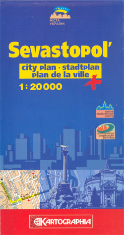
Sevastopol (Sebastopol) street plan from Kartografija Kiev, with additional coverage of Balaklava, in an edition with street names in the Latin alphabet and all other information in English, German and French. Main traffic arteries are highlighted and streets are annotated with selected house numbers for easier identification of addresses. A wide range of symbols highlight
Yalta Kartografija Street Plan

Yalta street plan from Kartografija Kiev in an international edition with all names in Latin alphabet plus English/German/French map legend and all other text. An enlargement shows the city centre in greater detail at 1:5,000. Main traffic arteries are highlighted and larger streets are named and listed in a street index. The plan is annotated
Zhytomyr
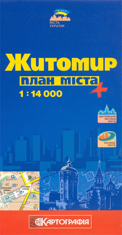
Zhytomyr street plan from Kartografija Kiev in a Cyrillic edition with map legend and all other text in Ukrainian only. An enlargement shows the city centre in greater detail at 1:10,000. Extensive lists of various facilities and a map of the environs are also provided.Main traffic arteries are highlighted and streets are annotated with selected
Sumy Administrative Region

Administrative provinces of the Ukraine on indexed road maps at 1:250,000, each with a town centre street plan of its capital city. All place names are in Cyrillic only, but the map legend includes English.Coverage of the larger provinces is divided between the two sides of the map. Road network is presented in great detail,
Ukraine Kartografija Road Atlas 500K HARDBACK
Ukraine Road Atlas at 1:500,000 from Kartografia, Kiev in a handy, 17x 24cm, hardback format, with an English map legend and street plans of 55 cities. Detailed classification of the road network includes eight types of roads and tracks, indicating intermediate driving distances, locations of petrol stations and car service stations, and border crossings. Railway
Kiev Kartografija Street Plan
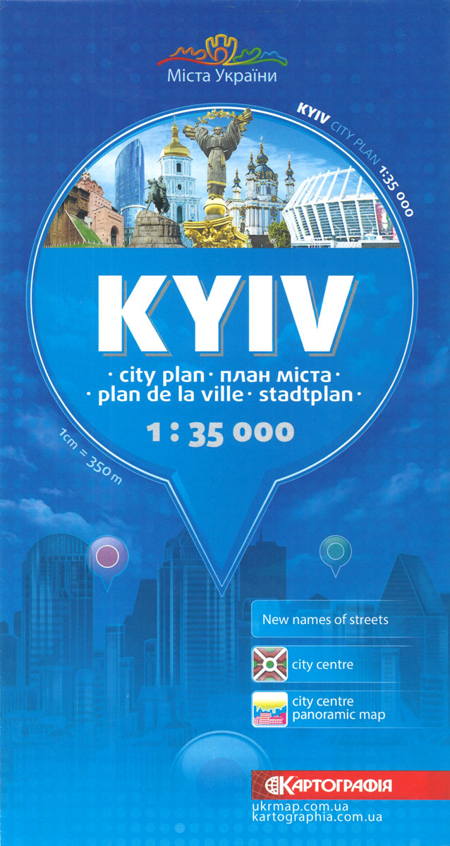
Street plan of Kiev from the locally based Kartografija in an English language edition presenting the whole city at 1:35,000, with a more detailed enlargement for the city centre, a 3-D pictorial plan of the central area including the Maidan Square, lists of sights, hotels, etc. All place names are in the Latin alphabet and
Durango State

One of the titles in a series of road maps of the administrative states of Mexico, highlighting places of interest. The maps show four different grades of roads, with intermediate driving distances on main routes, railways, local airports, ferry connections and administrative boundaries. Topographic information is limited to names of main mountain ranges, spot heights
Zacatecas State

One of the titles in a series of road maps of the administrative states of Mexico, highlighting places of interest. The maps show four different grades of roads, with intermediate driving distances on main routes, railways, local airports, ferry connections and administrative boundaries. Topographic information is limited to names of main mountain ranges, spot heights
Colima State

One of the titles in a series of road maps of the administrative states of Mexico, highlighting places of interest. The maps show four different grades of roads, with intermediate driving distances on main routes, railways, local airports, ferry connections and administrative boundaries. Topographic information is limited to names of main mountain ranges, spot heights


