Category Archives: Maps
Oshawa
Double-sided, indexed street plan of Oshawa, including Ajax, Bowmanville, Brooklin, Clarington, Cobourg, Courtice, Newcastle, Peterborough, Pickering, Port Hope and Whitby. Street plans from the MapArt / Canadian Cartographics Corporation / JDM Gรฉo publishing group are usually produced at scales around 1:25,000 to 1:35,000 with smaller towns often shown at more detailed scales. All plans have
Ontario Northern and Cottage Country Street Atlas

Street atlas of Northern Ontario and Cottage Country, including nBracebridge, Collingwood, Dryden, Elliot Lake, Espanola, Fort Frances, Geraldton, Hanover, Huntsville, Kincardine, Midland, North Bay, Orillia, Owen Sound, Penetanguishene, Port Elgin, Sault Ste. Marie, Southampton, Sudbury, Thunder Bay, Timmins, Walkerton, and Wasaga Beach. The atlas is part of an extensive coverage of Canadian cities and towns
Peterborough – Lindsay
Double-sided, indexed street plan of Peterborough (Ontario), including Cobourg, Havelock, Lakefield, Lindsay, Millwood, Norwood, and Port Hope. Street plans from the MapArt / Canadian Cartographics Corporation / JDM Gรฉo publishing group are usually produced at scales around 1:25,000 to 1:35,000 with smaller towns often shown at more detailed scales. All plans have street indexes. Plans
Saint John – Fredericton NB
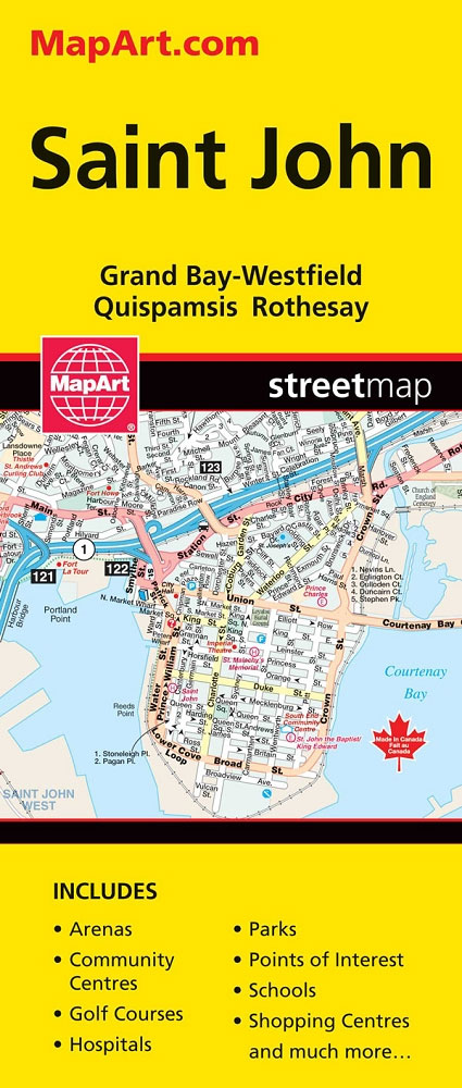
Double-sided map with indexed street plans of Saint John and Fredericton, including Edmundston, Oromocto and Woodstock. An enlargement presents downtown Saint John in greater detail. Street plans from the MapArt / Canadian Cartographics Corporation / JDM Gรฉo publishing group are usually produced at scales around 1:25,000 to 1:35,000 with smaller towns often shown at more
British Columbia – Alberta MapArt
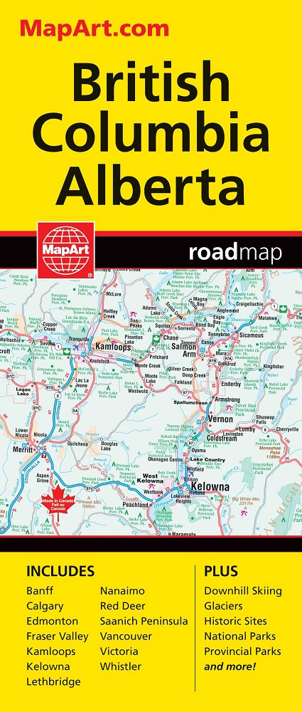
British Columbia and Alberta, including the Banff and Jasper National Parks, on an indexed, double-sided road map presenting both provinces together at 1:2,000,000, plus more detailed mapping of the region’s main urban areas including Vancouver, Victoria, Calgary, etc.On one side both provinces are shown together at 1:2m with their road network presented on a base
Thunder Bay
Double-sided, indexed street plan of Thunder Bay, including Atikokan, Dryden, Fort Frances, Kenora, Geraldton, Ignace and Longlac. Street plans from the MapArt / Canadian Cartographics Corporation / JDM Gรฉo publishing group are usually produced at scales around 1:25,000 to 1:35,000 with smaller towns often shown at more detailed scales. All plans have street indexes. Plans
Cape Breton Island – Sydney – Truro NS MapArt
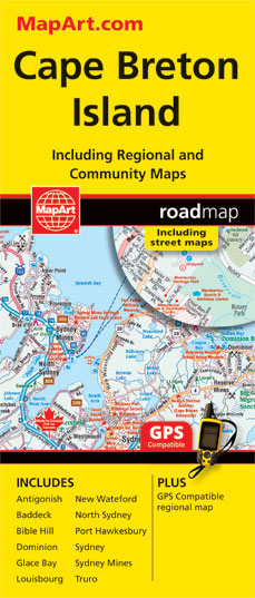
Cape Breton Island ‘“ the north-eastern part of Nova Scotia on an indexed map at 1:300,000, plus indexed street maps of its main towns. The map of Cape Breton Island indicates unpaved roads, with driving distances marked on main routes. Railway lines and ferry connections are marked and the map indicates locations with scheduled air
Manitoba & Saskatchewan
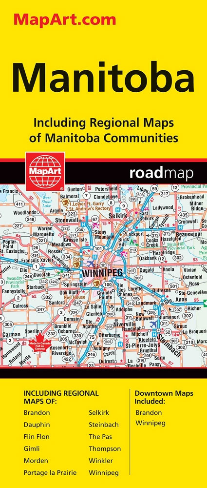
Manitoba and Saskatchewan on an indexed road map at 1:1,850,000 with on the reverse 21 panels with street maps of the two provinces’ main towns, including large street plans at 1:25,000 of downtown Regina, Saskatoon and Winnipeg.The two provinces are presented together at 1:1,850,000 on one side of the map. Road network indicates paved, gravel,
Sudbury
Double-sided, indexed street plan of Sudbury, including New Sudbury, Valley East, Azilda, Capreol, Chelmsford, Coniston, Dowling, Falconbridge, Garson, Hanmer, Levack, Lively, Mikkola, Naughton, Onaping, Skead, Val Caron, Val Therese, Wahnapitae and Whitefish.Street plans from the MapArt / Canadian Cartographics Corporation / JDM Gรฉo publishing group are usually produced at scales around 1:25,000 to 1:35,000 with
Lethbridge – Medicine Hat
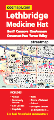
Double-sided, indexed street plan of Lethbridge, including Brooks, Coaldale, Crowsnest Pass, Medicine Hat, and Taber. Street plans from the MapArt / Canadian Cartographics Corporation / JDM Gรฉo publishing group are usually produced at scales around 1:25,000 to 1:35,000 with smaller towns often shown at more detailed scales. All plans have street indexes. Plans of larges
Outaouais – Laurentides – Abitibi Street Atlas
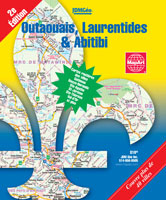
Street atlas of the Laurentide, Outaouais and Abitibi area, including Angers, Aylmer, Bellefeuille, Buckingham, Chelsea, Connaught Gardens, Deleage, Des Ruisseaux, Domaine-Raymond, Gatineau, Hull, Rouyn-Noranda, Ste Agathe, St Jerome, Ste Therese, Val d`Or and other locations. The atlas is part of an extensive coverage of Canadian cities and towns from the country’s largest map publisher, MapArt.
Alberta & Saskatchewan
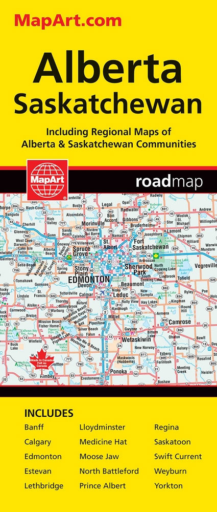
Alberta, including the Banff and Jasper National Parks, and Saskatchewan on an indexed road map presenting both provinces at 1:1,850,000, each accompanied by several street maps of their main cities, including detailed plans of downtown Calgary, Edmonton, Regina and Saskatoon.On one side is a road map of Alberta with coverage extending within British Columbia to
Vancouver Island MapArt Street Atlas
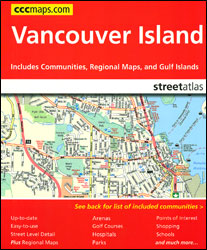
Vancouver Island Street Atlas from the Canadian Cartographics Corporation covering the island’s build-up areas along its eastern coast, including Victoria, Saanich and Nanaimo, as well as all the Gulf Islands.Street plans at 1:26,000 provide coverage of the island’s costal region in three sections: from Sooke in the south across Victoria and Saanich to Maple Bay,
Ontario MapArt Pocket Road Atlas
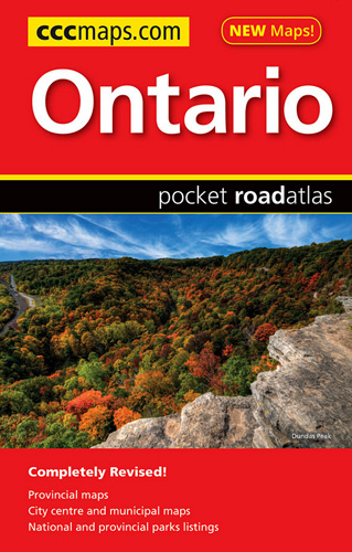
Pocket road atlas of Ontario presenting the southern part of the province at 1:700,000 with the northern part at 1:1,500,000, plus enlargements showing in greater detail 25 municipal areas and downtown street plans for 21 locations, a map showing Highway Service Centres, etc..The atlas presents the southern part of the province at 1:700,000, extending north
Western Canada MapArt
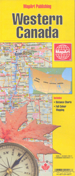
Double-sided overview map of Western Canada, showing on one side the western part of Ontario (from approx. 90ยบ, the boundary of the Central Time Zone), Manitoba and Saskatchewan, and on the reverse Alberta and British Columbia, plus the Alaska panhandle below 60 ยบ.The map shows the region’s road network, including selected local roads. Rest and
Winnipeg Pocket Street Atlas
Pocket street atlas of Winnipeg, part of an extensive coverage of Canadian cities and towns from the country’s largest map publisher, MapArt. The mapping is usually at 1:25,000 or 1:31,250. Colouring distinguishes general build-up areas, shopping centres, public buildings and institutions, historical sites and places of interest, parks, etc. One way streets and pedestrian zones
Inflatable Globe NASA Earth from Space

The 40 cm diameter EarthBall by ITMB features the latest generation of NASA satellite imagery and are the most visually authentic world globes available.
Calgary Pocket Street Atlas
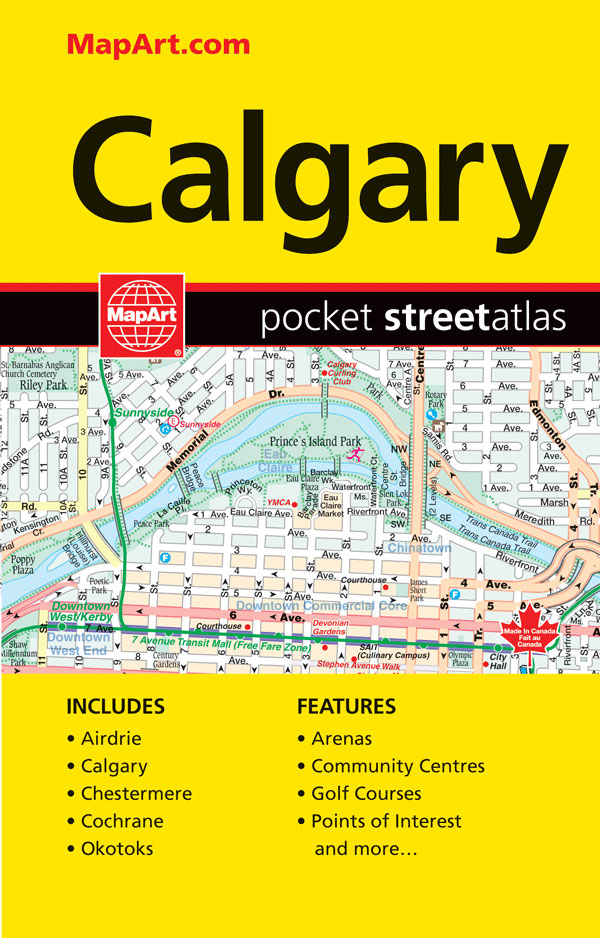
Pocket size street atlas of Calgary area at 1:25,000 with an enlargement showing the downtown Area in greater detail at 1:15,000, plus road maps of the environs of Calgary at 1:333,333 and of southern Alberta at 1:2,500,000Street plans and pocket atlases from the MapArt / Canadian Cartographics Corporation / JDM Gรฉo publishing group are usually
Alberta MapArt Back Road Atlas
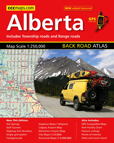
Alberta Back Roads Atlas at 1:250,000 in an A4 spiral-bound road atlas, with its extensive index also listing points of interest, plus a table of facilities in the national and provincial parks, town centre street plans of the province’s four main cities, airport access maps, etc.Mapping at 1:250,000 covers the bulk of the province, including
Atlantic Canada – New Brunswick – Nova Scotia – Prince Edward Island – Newfoundland
Atlantic Provinces of Canada on an indexed road map at 1:800,000 with Newfoundland at 1:1,400,000, plus street maps of the region’s main cities, an overview route planning map, a distance table, and contact details for information on ferry services.On one side two panels present at 1:800,000 New Brunswick, Nova Scotia and Prince Edward Island, plus