Category Archives: Maps
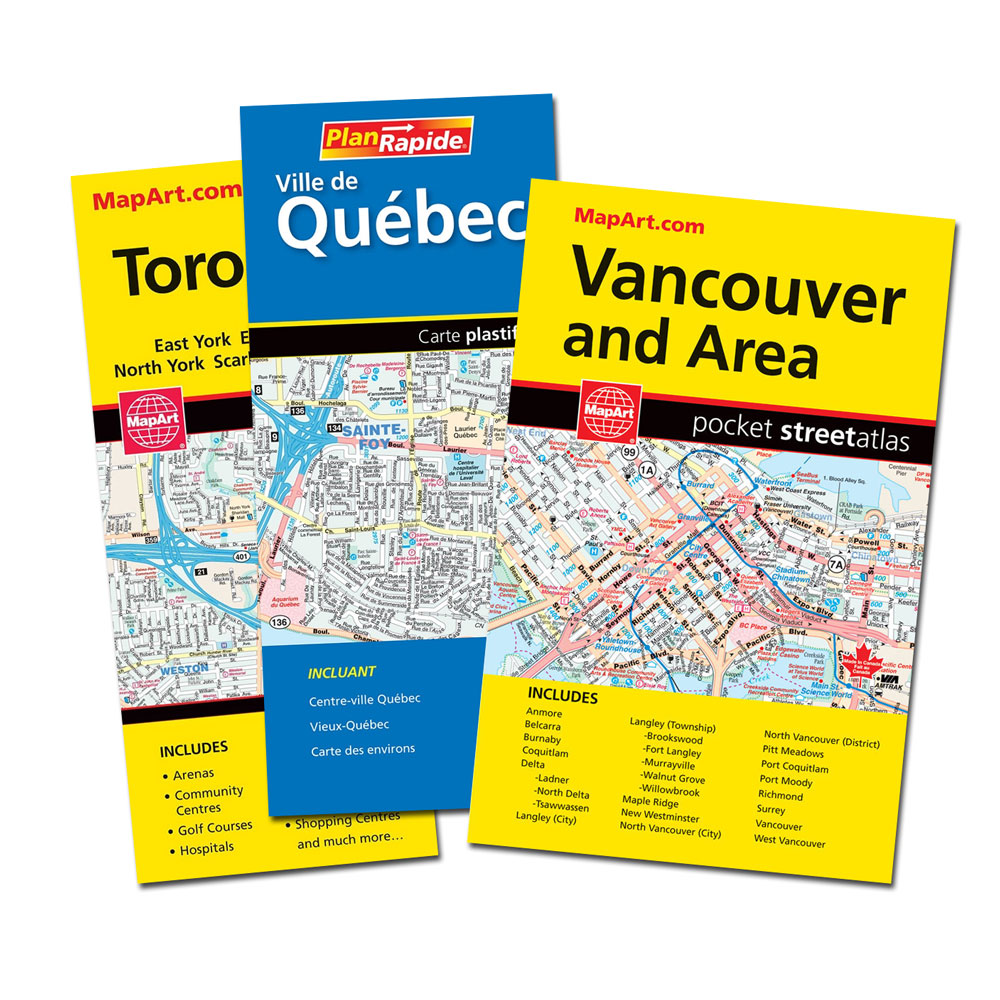
Vancouver and Area Pocket Street Atlas
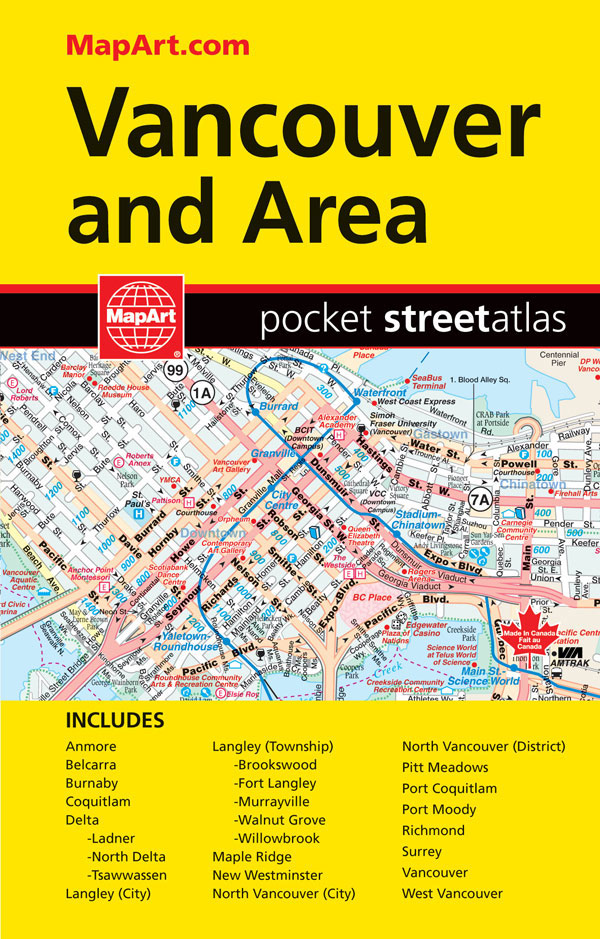
Pocket size street atlas of the Greater Vancouver area at 1:27,500. Coverage includes Anmore, Belcarra, Burnaby, Coquitlam, Langley, Maple Ridge, New Westminster, North Delta, North Vancouver, Pitt Meadows, Port Coquitlam, Port Moody, Richmond, Tsawwassen, Surrey, West Vancouver, White Rock and University of British Columbia. A small road map shows the environs of the city including
Canada MapArt
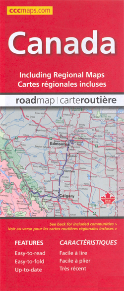
Canada at 1:6,000,000 on a double-sided map from the Canadian Cartographics Corporation combining an overview map of the country with, on the reverse, more detailed mapping of its more densely populated regions.On one side is an overview map of the whole country at 1:6,000,000 extending north beyond 75ยบ of latitude to include the southern part
Maritimes Provinces: New Brunswick – Nova Scotia – Prince Edward Island MapArt Back Road Atlas
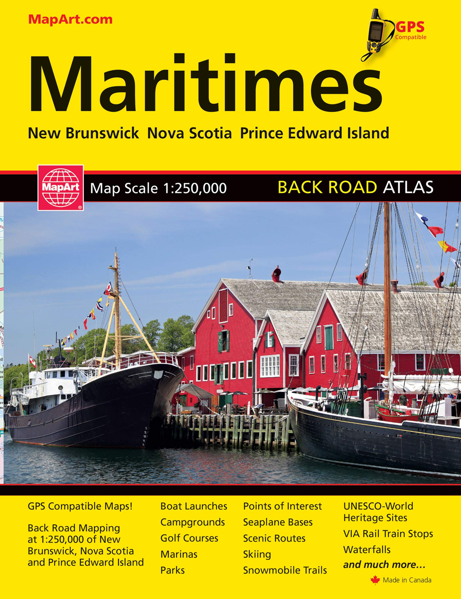
GPS compatible 1:250,000 back road mapping of New Brunswick, Nova Scotia, PEI. Includes provincial mapping at 1:1,500,000 of all the Atlantic Canada provinces. Also includes distance chart, scenic routes, community and road index plus many map features such as points of interest, national historic sites, viewpoints, campgrounds, beaches, waterfalls and more!
Winnipeg and Area Street Atlas
Street atlas of Winnipeg and the surrounding area, part of an extensive coverage of Canadian cities and towns from the country’s largest map publisher, MapArt. The mapping is usually at 1:25,000 or 1:31,250. Colouring distinguishes general build-up areas, shopping centres, public buildings and institutions, historical sites and places of interest, parks, etc. One way streets
Manitoba & Saskatchewan MapArt Road Atlas
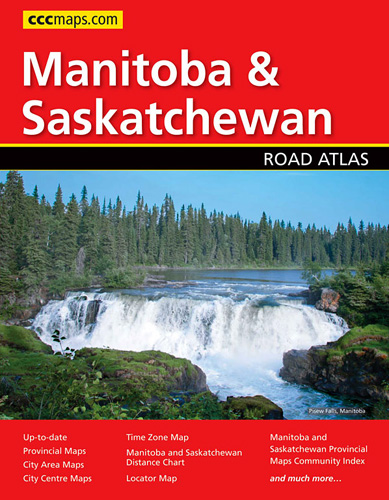
Manitoba and Saskatchewan in an A4 paperback road atlas from Canadian Cartographics Corporation covering the two provinces at 1:1,200,000, with more detailed mapping of 24 city areas, plus 19 street plans including Winnipeg, Regina and Saskatoon.Road mapping at 1:1,200,000 covers all but the northernmost parts of the two provinces. Road classification indicates unpaved or unimproved
Saskatchewan Back Road Atlas
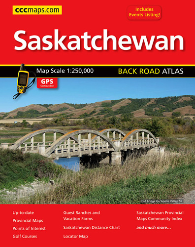
Saskatchewan road atlas presenting the province on detailed, GPS-compatible mapping at 1:250,000, plus a table of facilities in the national and provincial parks, an extensive list of local events, an index of points of interest, etc. Mapping at 1:250,000 covers most of the province, but without some parts of its northernmost regions, as indicated in
Ontario Northern FastTrack Map: North Bay – Sudbury – Thunder Bay – Lake of the Woods
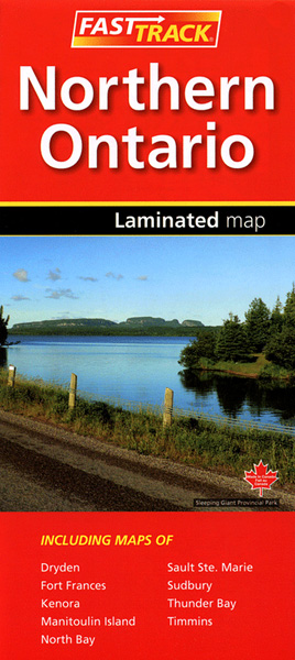
Waterproof and tear-resistant FastTrack map covering in a handy-size format the north-western part of Ontario, from North Bay and the border with Quebec to the province’s border with Manitoba, plus eight street maps of main cities and a distance table.On one side two panels present road maps. The main map at 1:1,930,000 covers the area
Calgary – Banff & Enviros FastTrack
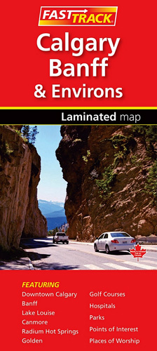
Waterproof and tear-resistant FastTrack map presenting in a handy-size format a street plan of Calgary and a road map of the nearby national and provincial parks in the Rocky Mountains, both at 1:250,000, plus a more detailed street plan of downtown Calgary and plans of the main holiday resorts.On one side Calgary with its outer
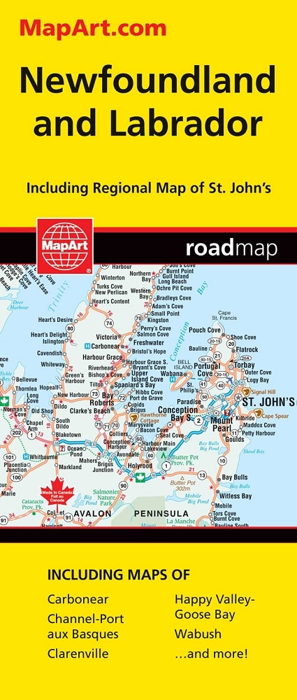
Newfoundland & Labrador FastTrack
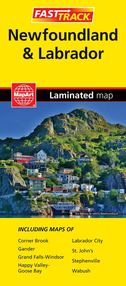
Waterproof and tear-resistant FastTrack map presenting in a handy-size format a road map of Newfoundland with an enlargement of the Avalon and Bonavista Peninsulas and several street maps including St. John’s, plus coverage of Labrador, also accompanied by street maps.Newfoundland is presented on an indexed map at 1:1,172,000, with its south-eastern area of the Avalon
Edmonton – Jasper & Environs FastTrack
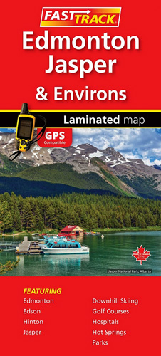
Waterproof and tear-resistant FastTrack map presenting in a handy-size format a street plan of Edmonton and a road map of most of the Jasper National Park, both at 1:250,000, plus a more detailed street plan of downtown Edmonton.On one side a street plan at 1:250,000 covers Edmonton with its outer suburbs, highlighting various facilities and
Vancouver Island and Haida Gwaii – SW British Columbia Back Road Atlas
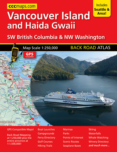
Vancouver Island and Haide Gwaii, plus the Vancouver region including Whistler and the adjoining part of Washington State with Seattle, presented at 1:250,000 in an A4 paperback road atlas with additional street plans, extensive information on national parks and wineries, etc.Mapping at 1:250,000 presents the areas indicated on our coverage image, extending from Seattle and
Vancouver Island FastTrack
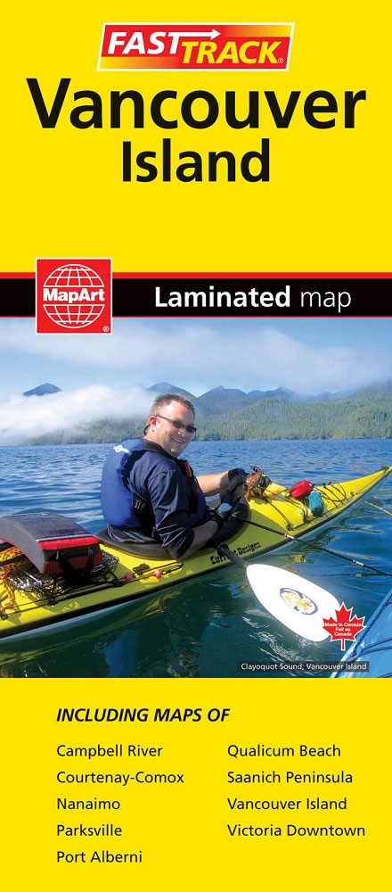
Waterproof and tear-resistant FastTrack map presenting in a handy-size format Vancouver Island at 1:550,000, plus a street plan of downtown Victoria and on the reverse enlargements at 1;50,000 covering the island’s other most visited areas.On one side Vancouver Island is shown at 1:550,000, with its northern part presented on a separate panel. Coverage includes Vancouver
Kootenay Rockies – Calgary and Northern Montana Back Road Atlas
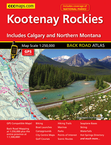
South-eastern British Columbia with the adjoining regions of Alberta including the Banff and Jasper NP plus the border area of Montana with the Glacier NP presented at 1:250,000 in an A4 paperback road atlas with additional street plans, a listing of local events, etc.Mapping at 1:250,000 covers the areas indicated on our coverage image. Landscape
British Columbia MapArt
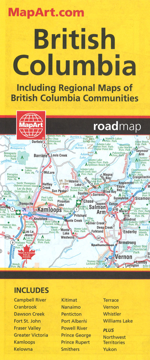
British Columbia, with coverage extending to Calgary to include the Banff and Jasper National Parks, on an indexed, double-sided road map presenting the whole province at 1:1,500,000, plus numerous enlargement and street plans providing more detailed mapping of the Vancouver – Fraser Valley area and several towns.The map divides the province north/south with a generous
Manitoba MapArt
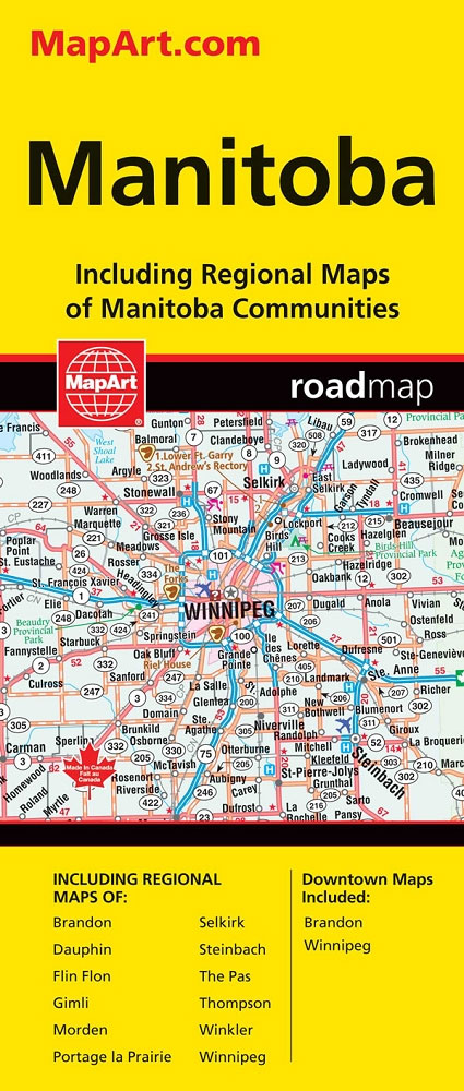
Indexed road map of Manitoba at 1:1,250,000 with an additional panel covering north-west Ontario with Lake Superior, plus Winnipeg and Brandon on more detailed road maps and plans of their downtown areas, and street plans of 10 more local towns. The whole province is shown at 1:1,250,000 on one side of the map. Topography is
Nova Scotia MapArt
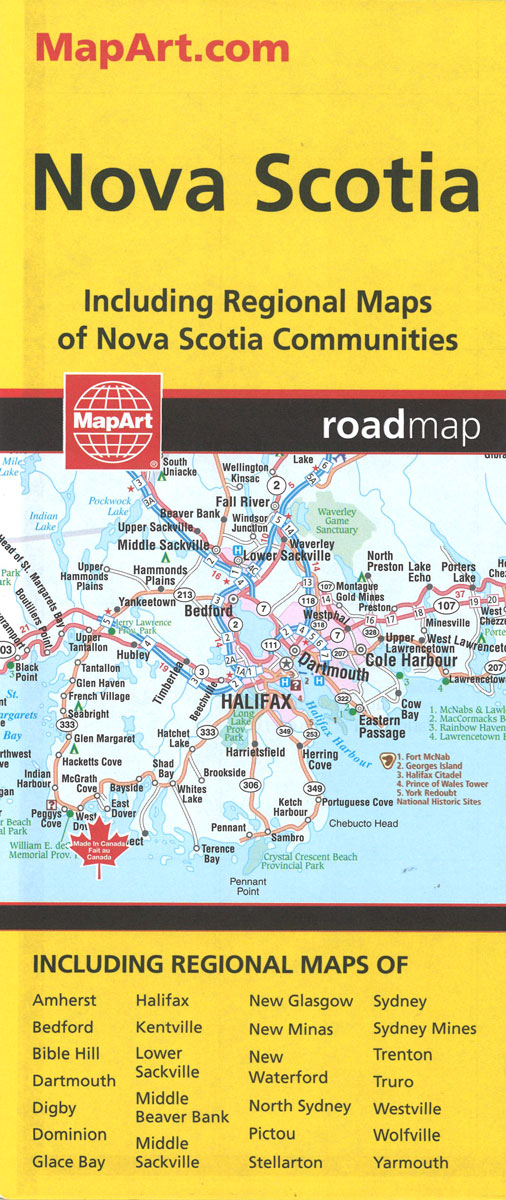
Indexed road map of Nova Scotia at 1:650,000 with coverage of much of New Brunswick plus Price Edward Island, plus more detailed mapping of Halifax and the Sydney area including street plans of their downtown districts, and Amherst, Digby, Glace Bay. New Glasgow – Pictou, North Sydney – Sidney Mines, Truro and Yarmouth; also ferry
New Brunswick MapArt
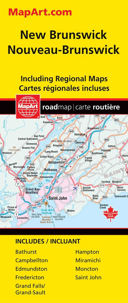
Indexed road map of New Brunswick at 1:600,000 with coverage of much of Nova Scotia and Price Edward Island, with more detailed maps of Saint John, Edmundston, Fredericton, Moncton, Campbellton, Bathurst, Hampton Grand Galls / Grand-Sault, and Miramichi, plus ferry information and a distance chart. The whole province is shown on one side at 1:600,000,
Prince Edward Island
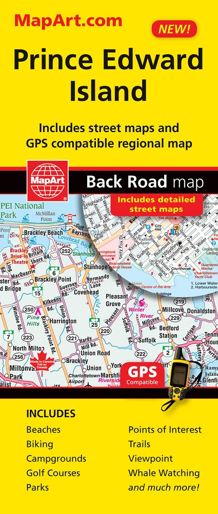
Prince Edward Island on an indexed road map at 1:200,000, plus indexed street maps at 1:25,000 of its main towns: Charlottetown with Stratford and Cornwall, Alberton, Georgetown, Kensington, Montague, Souris, and Summerside; also contact details for information on ferry services.The main panel presents the island indicating loose surface and unimproved roads, with driving distances marked