Category Archives: Maps
Tahoe National Forest – Sierra Buttes / Donner Pass CA
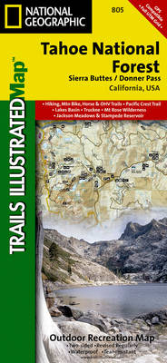
Map No. 805, Tahoe National Forest: Sierra Buttes / Donner, CA, in an extensive series of GPS compatible, contoured hiking maps of USA’s national and state parks or forests and other popular recreational areas. Cartography based on the national topographic survey, with additional tourist information.The maps, with most titles now printed on light, waterproof and
Mojave National Preserve CA
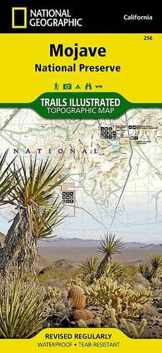
Map No. 256, Mojave National Preserve, CA, in an extensive series of GPS compatible, contoured hiking maps of USA’s national and state parks or forests and other popular recreational areas. Cartography based on the national topographic survey, with additional tourist information.The maps, with most titles now printed on light, waterproof and tear-resistant plastic paper, highlight
Grand Mesa CO
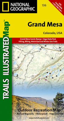
Map No. 136, Grand Mesa, CO, in an extensive series of GPS compatible, contoured hiking maps of USA’s national and state parks or forests and other popular recreational areas. Cartography based on the national topographic survey, with additional tourist information.The maps, with most titles now printed on light, waterproof and tear-resistant plastic paper, highlight walking
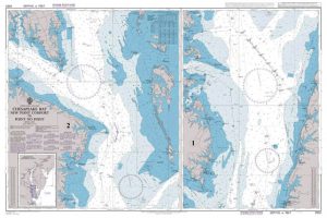
Glacier Bay National Park AK
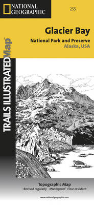
Map No. 255, Glacier Bay National Park, AK, in an extensive series of GPS compatible, contoured hiking maps of USA’s national and state parks or forests and other popular recreational areas. Cartography based on the national topographic survey, with additional tourist information.The maps, with most titles now printed on light, waterproof and tear-resistant plastic paper,
French Broad & Nolichucky Rivers – Cherokee & Pisgah NFs TN/NC NGS Trails Illustrated Map 782
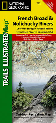
Map No. 782, Cherokee and Pisgah National Forests: French Broad and Nolichucky Rivers in Tennessee, at 1:63,360 in an extensive series of GPS compatible, contoured hiking maps of USA’s national and state parks or forests and other popular recreational areas. Cartography based on the national topographic survey, with additional tourist information.The maps, with most titles
Black Canyon of the Gunnison NP CO
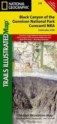
Map No. 245, Black Canyon of the Gunnison, CO, in an extensive series of GPS compatible, contoured hiking maps of USA’s national and state parks or forests and other popular recreational areas. Cartography based on the national topographic survey, with additional tourist information.The maps, with most titles now printed on light, waterproof and tear-resistant plastic
George Washington and Jefferson National Forest – Massanutten – Great Northern Mountains VA/WV
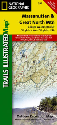
Map No. 792, George Washington and Jefferson National Forest: Massanutten – Great Northern Mountains, VA/WV, in an extensive series of GPS compatible, contoured hiking maps of USA’s national and state parks or forests and other popular recreational areas. Cartography based on the national topographic survey, with additional tourist information.The maps, with most titles now printed
Yosemite NE – Tuolumne Meadows & Hoover Wilderness CA
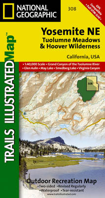
Map No. 308, Yosemite NE: Tuolumne Meadows and Hoover Wilderness, CA, in an extensive series of GPS compatible, contoured hiking maps of USA’s national and state parks or forests and other popular recreational areas. Cartography based on the national topographic survey, with additional tourist information.The maps, with most titles now printed on light, waterproof and
Cache La Poudre – Big Thompson CO
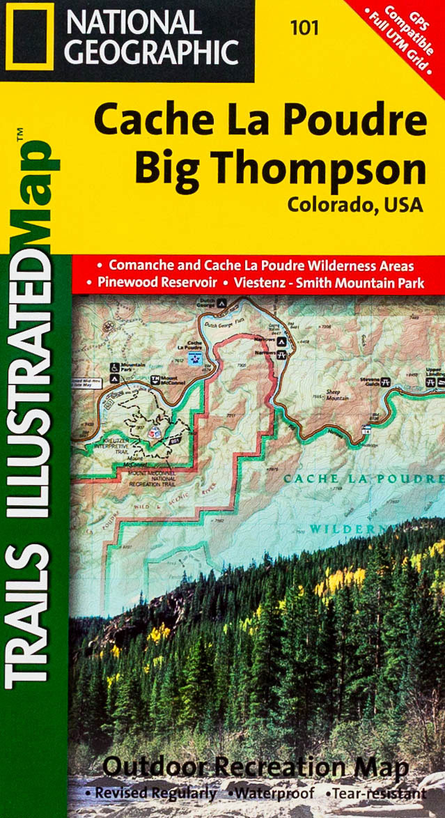
Map No. 101, Cache La Poudre – Big Thompson, CO, in an extensive series of GPS compatible, contoured hiking maps of USA’s national and state parks or forests and other popular recreational areas. Cartography based on the national topographic survey, with additional tourist information.The maps, with most titles now printed on light, waterproof and tear-resistant
Wasatch Front North UT
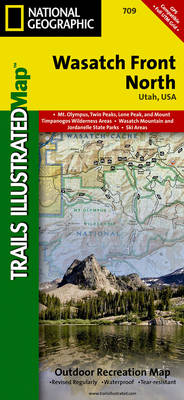
Map No. 709, Wasatch Front North in Utah, at 1:70,000 in an extensive series of GPS compatible, contoured hiking maps of USA’s national and state parks or forests and other popular recreational areas. Cartography based on the national topographic survey, with additional tourist information.The maps, with most titles now printed on light, waterproof and tear-resistant
Walden – Gould CO
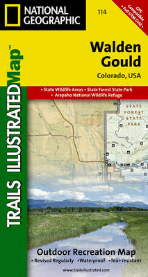
Map No. 114, Walden – Gould, CO, in an extensive series of GPS compatible, contoured hiking maps of USA’s national and state parks or forests and other popular recreational areas. Cartography based on the national topographic survey, with additional tourist information.The maps, with most titles now printed on light, waterproof and tear-resistant plastic paper, highlight
High Uintas UT
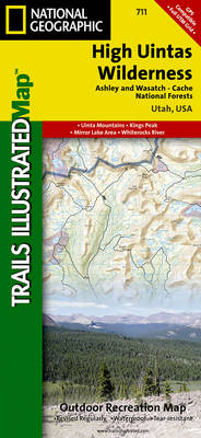
Map No. 711, High Uintas, UT, in an extensive series of GPS compatible, contoured hiking maps of USA’s national and state parks or forests and other popular recreational areas. Cartography based on the national topographic survey, with additional tourist information.The maps, with most titles now printed on light, waterproof and tear-resistant plastic paper, highlight walking
Yampa – Gore Pass CO NGS Trails Illustrated Map 119
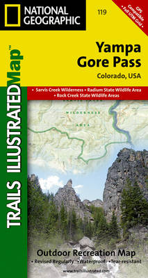
Map No. 119, Yampa – Gore Pass in Colorado, in an extensive series of GPS compatible, contoured hiking maps of USA’s national and state parks or forests and other popular recreational areas. Cartography based on the national topographic survey, with additional tourist information.The maps, with most titles now printed on light, waterproof and tear-resistant plastic
Adirondack Park – Saranac – Paul Smiths NY
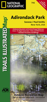
Map No. 746, Adirondack Park: Paul Smiths – Saranac, in an extensive series of GPS compatible, contoured hiking maps of USA’s national and state parks or forests and other popular recreational areas. Cartography based on the national topographic survey, with additional tourist information.The maps, with most titles now printed on light, waterproof and tear-resistant plastic
Mount Rainier National Park WA
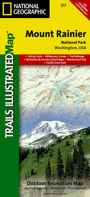
Map No. 217, Mount Rainier National Park, WA, in an extensive series of GPS compatible, contoured hiking maps of USA’s national and state parks or forests and other popular recreational areas. Cartography based on the national topographic survey, with additional tourist information.The maps, with most titles now printed on light, waterproof and tear-resistant plastic paper,
Big South Fork National Recreation Area KY/TN NGS Trails Illustrated Map 241
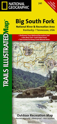
Map No. 241, Big South Fork National Recreation Area, KY/TN, in an extensive series of GPS compatible, contoured hiking maps of USA’s national and state parks or forests and other popular recreational areas. Cartography based on the national topographic survey, with additional tourist information.The maps, with most titles now printed on light, waterproof and tear-resistant
Cape Cod National Seashore MA
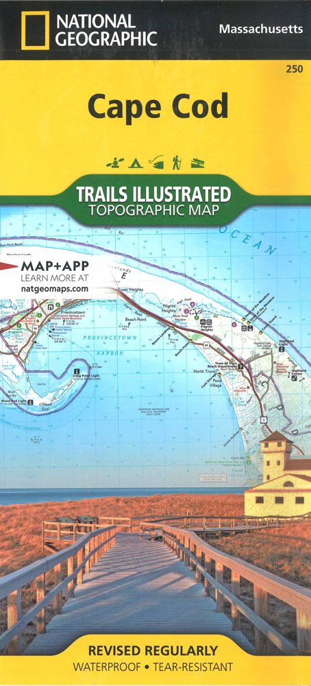
Map No. 250, Cape Cod National Seashore, MA, in an extensive series of GPS compatible, contoured hiking maps of USA’s national and state parks or forests and other popular recreational areas. Cartography based on the national topographic survey, with additional tourist information.The maps, with most titles now printed on light, waterproof and tear-resistant plastic paper,
Moab South Outdoor Recreation Map UT
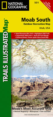
Map No. 501, Moab South Mountain Bike Map, in an extensive series of GPS compatible, contoured hiking maps of USA’s national and state parks or forests and other popular recreational areas. Cartography based on the national topographic survey, with additional tourist information.The maps, with most titles now printed on light, waterproof and tear-resistant plastic paper,
Aspen – Independence Pass CO
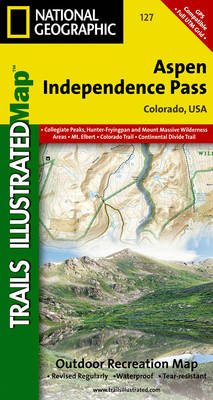
Map No. 127, Aspen – Independence Pass, in an extensive series of GPS compatible, contoured hiking maps of USA’s national and state parks or forests and other popular recreational areas. Cartography based on the national topographic survey, with additional tourist information.The maps, with most titles now printed on light, waterproof and tear-resistant plastic paper, highlight
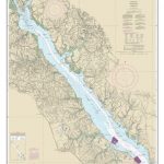
Ozark National Scenic Riverways MO

Map No. 260, Ozark National Scenic Riverwaysin Missouri, at 1:63,360in an extensive series of GPS compatible, contoured hiking maps of USA’s national and state parks or forests and other popular recreational areas. Cartography based on the national topographic survey, with additional tourist information.The maps, with most titles now printed on light, waterproof and tear-resistant plastic