Category Archives: Maps
Flaming Gorge – East Uintas UT/WY
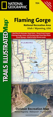
Map No. 704, Flaming Gorge – East Uintas, UT/WY, in an extensive series of GPS compatible, contoured hiking maps of USA’s national and state parks or forests and other popular recreational areas. Cartography based on the national topographic survey, with additional tourist information.The maps, with most titles now printed on light, waterproof and tear-resistant plastic
Pikes Peak – Canon City CO
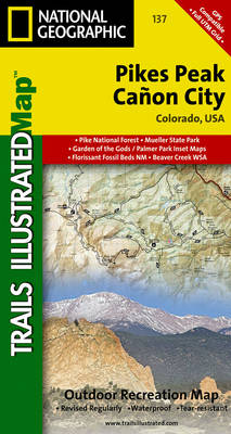
Map No. 137, Pikes Peak – Canon City, CO, in an extensive series of GPS compatible, contoured hiking maps of USA’s national and state parks or forests and other popular recreational areas. Cartography based on the national topographic survey, with additional tourist information.The maps, with most titles now printed on light, waterproof and tear-resistant plastic
Paunsaugunt Plateau – Mount Dutton – Bryce Canyon UT NGS Trails Illustrated Map 705
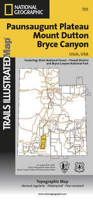
Map No. 705, Paunsaugunt Plateau – Mount Dutton – Bryce Canyon in Utah in an extensive series of GPS compatible, contoured hiking maps of USA’s national and state parks or forests and other popular recreational areas. Cartography based on the national topographic survey, with additional tourist information.The maps, with most titles now printed on light,
Carbondale CO
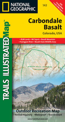
Map No. 143, Carbondale, CO, in an extensive series of GPS compatible, contoured hiking maps of USA’s national and state parks or forests and other popular recreational areas. Cartography based on the national topographic survey, with additional tourist information.The maps, with most titles now printed on light, waterproof and tear-resistant plastic paper, highlight walking trails
Lake Mead National Recreation Area NV/AZ
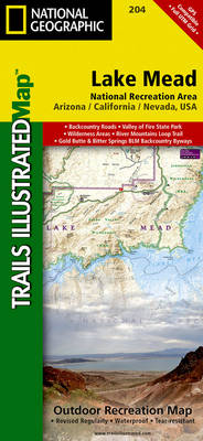
Map No. 204, Lake Mead National Recreation Area on the borderof Arizona and Nevada, at 1:166,800 in an extensive series of GPS compatible, contoured hiking maps of USA’s national and state parks or forests and other popular recreational areas. Cartography based on the national topographic survey, with additional tourist information.The maps, with most titles now
Colorado National Monument CO
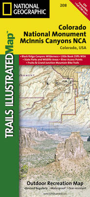
Map No. 208, Colorado National Monument, CO, in an extensive series of GPS compatible, contoured hiking maps of USA’s national and state parks or forests and other popular recreational areas. Cartography based on the national topographic survey, with additional tourist information.The maps, with most titles now printed on light, waterproof and tear-resistant plastic paper, highlight
Olympic National Park WA
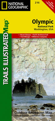
Map No. 216, Olympic National Park, WA, in an extensive series of GPS compatible, contoured hiking maps of USA’s national and state parks or forests and other popular recreational areas. Cartography based on the national topographic survey, with additional tourist information.The maps, with most titles now printed on light, waterproof and tear-resistant plastic paper, highlight
Dinosaur National Monument UT/CO
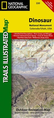
Map No. 220, Dinosaur National Monument, UT/CO, in an extensive series of GPS compatible, contoured hiking maps of USA’s national and state parks or forests and other popular recreational areas. Cartography based on the national topographic survey, with additional tourist information.The maps, with most titles now printed on light, waterproof and tear-resistant plastic paper, highlight
Haleakala National Park HI
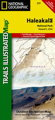
Map No. 227, Haleakala National Park, HI, in an extensive series of GPS compatible, contoured hiking maps of USA’s national and state parks or forests and other popular recreational areas. Cartography based on the national topographic survey, with additional tourist information.The maps, with most titles now printed on light, waterproof and tear-resistant plastic paper, highlight
Buffalo National River West AR
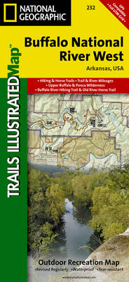
Map No. 232, Buffalo National River West, AR, in an extensive series of GPS compatible, contoured hiking maps of USA’s national and state parks or forests and other popular recreational areas. Cartography based on the national topographic survey, with additional tourist information.The maps, with most titles now printed on light, waterproof and tear-resistant plastic paper,
Buffalo National River East AR
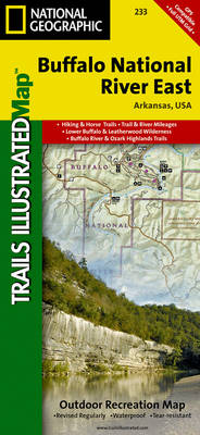
Map No. 233, Buffalo National River East, AR, in an extensive series of GPS compatible, contoured hiking maps of USA’s national and state parks or forests and other popular recreational areas. Cartography based on the national topographic survey, with additional tourist information.The maps, with most titles now printed on light, waterproof and tear-resistant plastic paper,
Badlands National Park SD
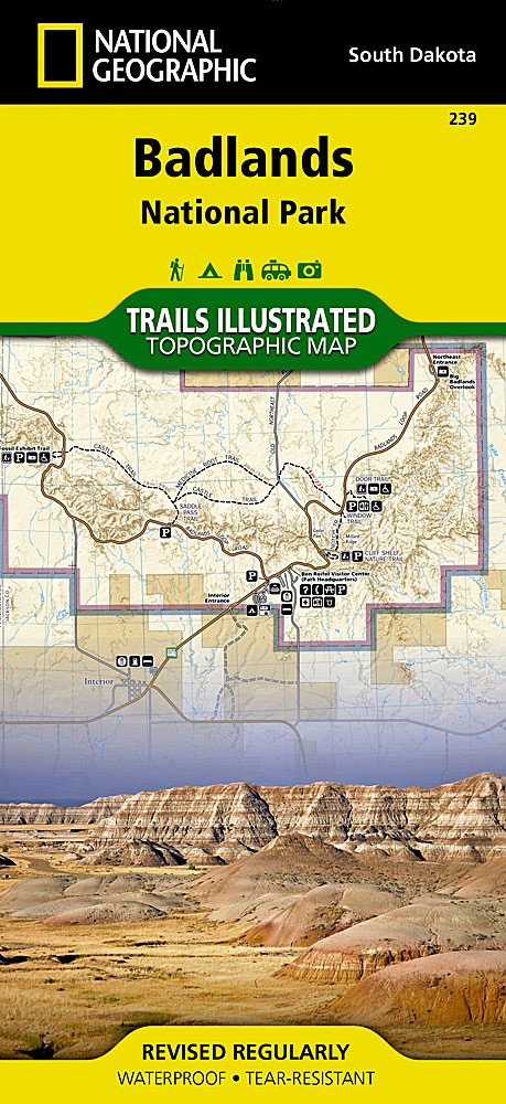
Map No. 239, Badlands National Park, SD, in an extensive series of GPS compatible, contoured hiking maps of USA’s national and state parks or forests and other popular recreational areas. Cartography based on the national topographic survey, with additional tourist information.The maps, with most titles now printed on light, waterproof and tear-resistant plastic paper, highlight
Everglades National Park FL
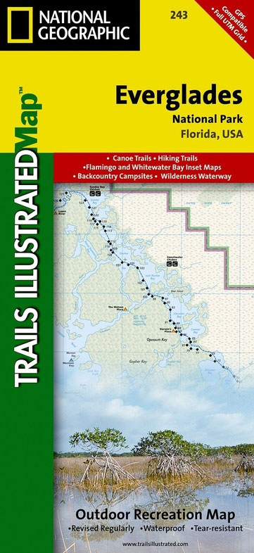
Map No. 243, Everglades National Park, FL, in an extensive series of GPS compatible, contoured hiking maps of USA’s national and state parks or forests and other popular recreational areas. Cartography based on the national topographic survey, with additional tourist information.The maps, with most titles now printed on light, waterproof and tear-resistant plastic paper, highlight
Channel Islands National Park CA NGS Trails Illustrated Map 252
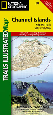
Map No. 252, Channel Islands National Parkin California, at 1:25,000/1:50,000 in an extensive series of GPS compatible, contoured hiking maps of USA’s national and state parks or forests and other popular recreational areas. Cartography based on the national topographic survey, with additional tourist information.The maps, with most titles now printed on light, waterproof and tear-resistant
High Uintas UT
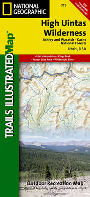
Map No. 711, High Uintas, UT, in an extensive series of GPS compatible, contoured hiking maps of USA’s national and state parks or forests and other popular recreational areas. Cartography based on the national topographic survey, with additional tourist information.The maps, with most titles now printed on light, waterproof and tear-resistant plastic paper, highlight walking
Yampa – Gore Pass CO NGS Trails Illustrated Map 119
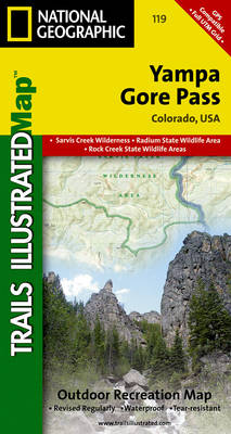
Map No. 119, Yampa – Gore Pass in Colorado, in an extensive series of GPS compatible, contoured hiking maps of USA’s national and state parks or forests and other popular recreational areas. Cartography based on the national topographic survey, with additional tourist information.The maps, with most titles now printed on light, waterproof and tear-resistant plastic
Adirondack Park – Saranac – Paul Smiths NY
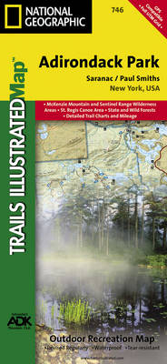
Map No. 746, Adirondack Park: Paul Smiths – Saranac, in an extensive series of GPS compatible, contoured hiking maps of USA’s national and state parks or forests and other popular recreational areas. Cartography based on the national topographic survey, with additional tourist information.The maps, with most titles now printed on light, waterproof and tear-resistant plastic
George Washington and Jefferson National Forests – Staunton – Shenendoah Valley VA
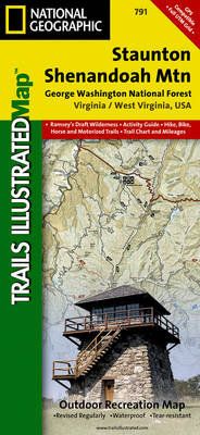
Map No. 791, George Washington and Jefferson National Forests: Staunton – Shenendoah Valley, VA, in an extensive series of GPS compatible, contoured hiking maps of USA’s national and state parks or forests and other popular recreational areas. Cartography based on the national topographic survey, with additional tourist information.The maps, with most titles now printed on
Gates of the Arctic AK
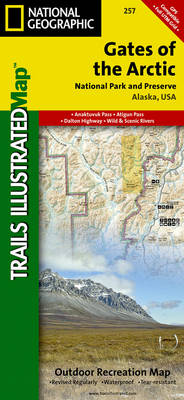
Map No. 257, Gates of the Arctic, AK, in an extensive series of GPS compatible, contoured hiking maps of USA’s national and state parks or forests and other popular recreational areas. Cartography based on the national topographic survey, with additional tourist information.The maps, with most titles now printed on light, waterproof and tear-resistant plastic paper,
Manti La Sal National Forest UT
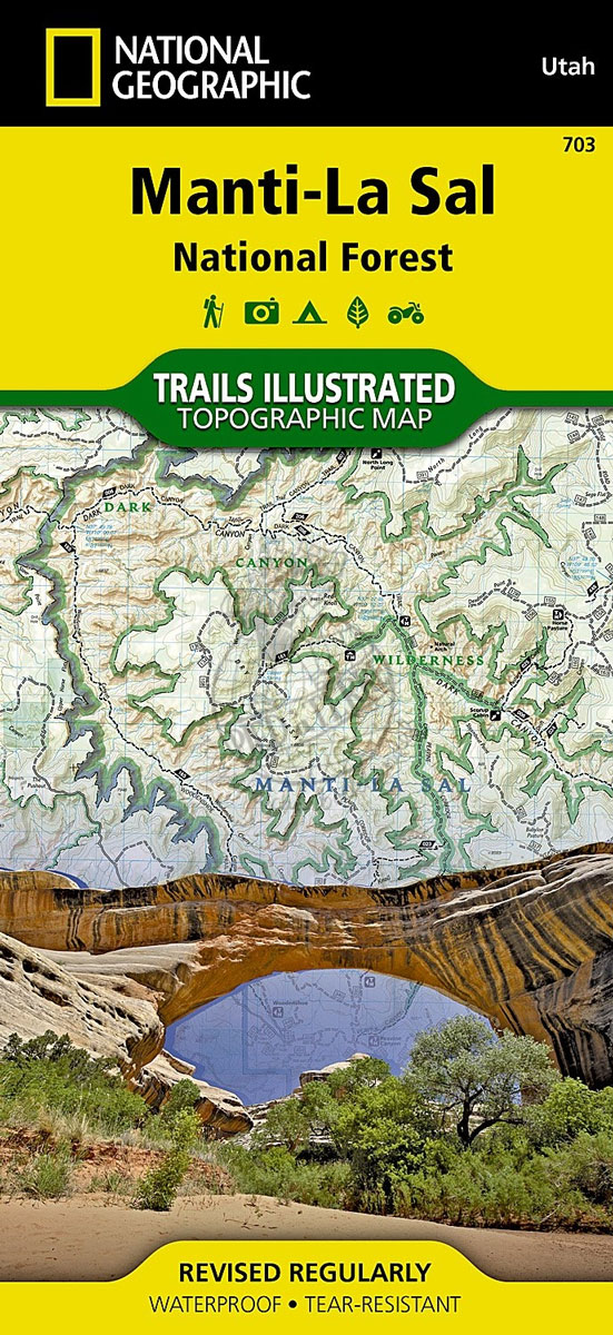
Map No. 703, Manti La Sal National Forest, UT, in an extensive series of GPS compatible, contoured hiking maps of USA’s national and state parks or forests and other popular recreational areas. Cartography based on the national topographic survey, with additional tourist information.The maps, with most titles now printed on light, waterproof and tear-resistant plastic