Category Archives: Maps
Mammoth Hot Springs – Yellowstone National Park NW WY/MT
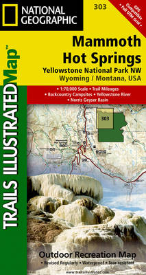
Map No. 303, Yellowstone NW: Mammoth Hot Springs, WY/MT, in an extensive series of GPS compatible, contoured hiking maps of USA’s national and state parks or forests and other popular recreational areas. Cartography based on the national topographic survey, with additional tourist information.The maps, with most titles now printed on light, waterproof and tear-resistant plastic
Tower – Canyon – Yellowstone National Park WY/MT
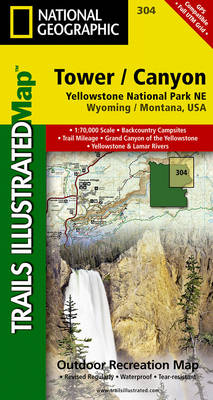
Map No. 304, Yellowstone NE: Tower/Canyon, WY/MT, in an extensive series of GPS compatible, contoured hiking maps of USA’s national and state parks or forests and other popular recreational areas. Cartography based on the national topographic survey, with additional tourist information.The maps, with most titles now printed on light, waterproof and tear-resistant plastic paper, highlight
Yellowstone Lake – Yellowstone National Park WY
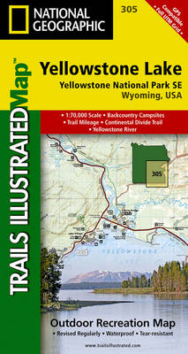
Map No. 305, Yellowstone SE: Yellowstone Lake in Wyoming, at 1:63.360 in an extensive series of GPS compatible, contoured hiking maps of USA’s national and state parks or forests and other popular recreational areas. Cartography based on the national topographic survey, with additional tourist information.The maps, with most titles now printed on light, waterproof and
Grand Teton National Park WY
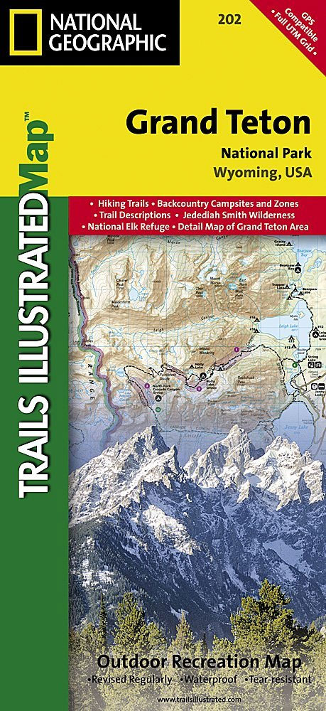
Map No. 202, Grand Teton National Park, WY, in an extensive series of GPS compatible, contoured hiking maps of USA’s national and state parks or forests and other popular recreational areas. Cartography based on the national topographic survey, with additional tourist information.The maps, with most titles now printed on light, waterproof and tear-resistant plastic paper,
Santa Monica Mountains CA
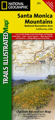
Map No. 253, Santa Monica Mountains in California, in an extensive series of GPS compatible, contoured hiking maps of USA’s national and state parks or forests and other popular recreational areas. Cartography based on the national topographic survey, with additional tourist information.The maps, with most titles now printed on light, waterproof and tear-resistant plastic paper,
Cloud Peak Wilderness WY
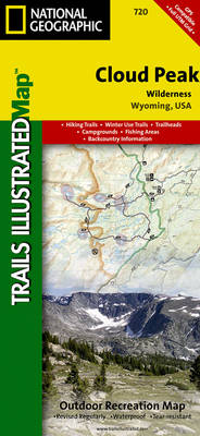
Map No. 720, Cloud Peak Wilderness in Wyoming, at 1:45,000 in an extensive series of GPS compatible, contoured hiking maps of USA’s national and state parks or forests and other popular recreational areas. Cartography based on the national topographic survey, with additional tourist information.The maps, with most titles now printed on light, waterproof and tear-resistant
Uinta National Forest – Lone Peak – Mt. Timpanogos UT
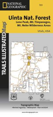
Map No. 701, Uinta National Forest – Lone Peak – Mt. Timpanogos in Utah at 1:48,000, in an extensive series of GPS compatible, contoured hiking maps of USA’s national and state parks or forests and other popular recreational areas. Cartography based on the national topographic survey, with additional tourist information.The maps, with most titles now
White Mountains National Forest East – Presidential Range – Gorham NH/ME 741
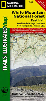
Map No. 741, White Mountains Nationa Park: Presidential Range – Gorham, NH, in an extensive series of GPS compatible, contoured hiking maps of USA’s national and state parks or forests and other popular recreational areas. Cartography based on the national topographic survey, with additional tourist information.The maps, with most titles now printed on light, waterproof
Island in the Sky District – Canyonlands NP UT
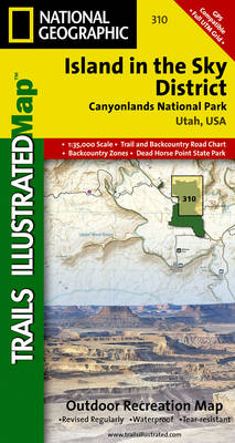
Map No. 310, Canyonlands: Island in the Sky District, UT, in an extensive series of GPS compatible, contoured hiking maps of USA’s national and state parks or forests and other popular recreational areas. Cartography based on the national topographic survey, with additional tourist information.The maps, with most titles now printed on light, waterproof and tear-resistant
Adirondack Park – Old Forge – Oswegatchie NY
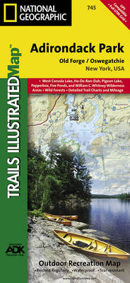
Map No. 745, Adirondack Park: Old Forge – Oswegatchie, NY, in an extensive series of GPS compatible, contoured hiking maps of USA’s national and state parks or forests and other popular recreational areas. Cartography based on the national topographic survey, with additional tourist information.The maps, with most titles now printed on light, waterproof and tear-resistant
Needles District – Canyonlands UT
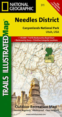
Map No. 311, Canyonlands: Needles District, UT, in an extensive series of GPS compatible, contoured hiking maps of USA’s national and state parks or forests and other popular recreational areas. Cartography based on the national topographic survey, with additional tourist information.The maps, with most titles now printed on light, waterproof and tear-resistant plastic paper, highlight
Prince William Sound West AK NGS Trails Illustrated Map 761
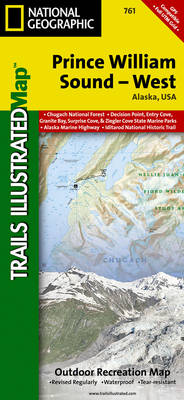
Map No. 761, Prince William Sound West, AK, in an extensive series of GPS compatible, contoured hiking maps of USA’s national and state parks or forests and other popular recreational areas. Cartography based on the national topographic survey, with additional tourist information.The maps, with most titles now printed on light, waterproof and tear-resistant plastic paper,
Maze District – Canyonlands UT
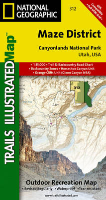
Map No. 312, Canyonlands: Maze District, UT, in an extensive series of GPS compatible, contoured hiking maps of USA’s national and state parks or forests and other popular recreational areas. Cartography based on the national topographic survey, with additional tourist information.The maps, with most titles now printed on light, waterproof and tear-resistant plastic paper, highlight
Hoosier National Forest IN
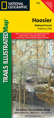
Map No. 770, Hoosier National Forest in Indiana, at 1:70,000/1:35,000 in an extensive series of GPS compatible, contoured hiking maps of USA’s national and state parks or forests and other popular recreational areas. Cartography based on the national topographic survey, with additional tourist information.The maps, with most titles now printed on light, waterproof and tear-resistant
Haleakala National Park HI
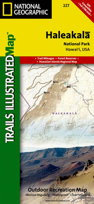
Map No. 227, Haleakala National Park, HI, in an extensive series of GPS compatible, contoured hiking maps of USA’s national and state parks or forests and other popular recreational areas. Cartography based on the national topographic survey, with additional tourist information.The maps, with most titles now printed on light, waterproof and tear-resistant plastic paper, highlight
Buffalo National River West AR
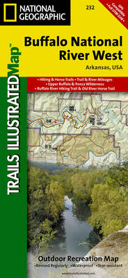
Map No. 232, Buffalo National River West, AR, in an extensive series of GPS compatible, contoured hiking maps of USA’s national and state parks or forests and other popular recreational areas. Cartography based on the national topographic survey, with additional tourist information.The maps, with most titles now printed on light, waterproof and tear-resistant plastic paper,
Buffalo National River East AR
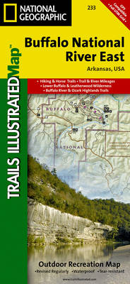
Map No. 233, Buffalo National River East, AR, in an extensive series of GPS compatible, contoured hiking maps of USA’s national and state parks or forests and other popular recreational areas. Cartography based on the national topographic survey, with additional tourist information.The maps, with most titles now printed on light, waterproof and tear-resistant plastic paper,
Badlands National Park SD
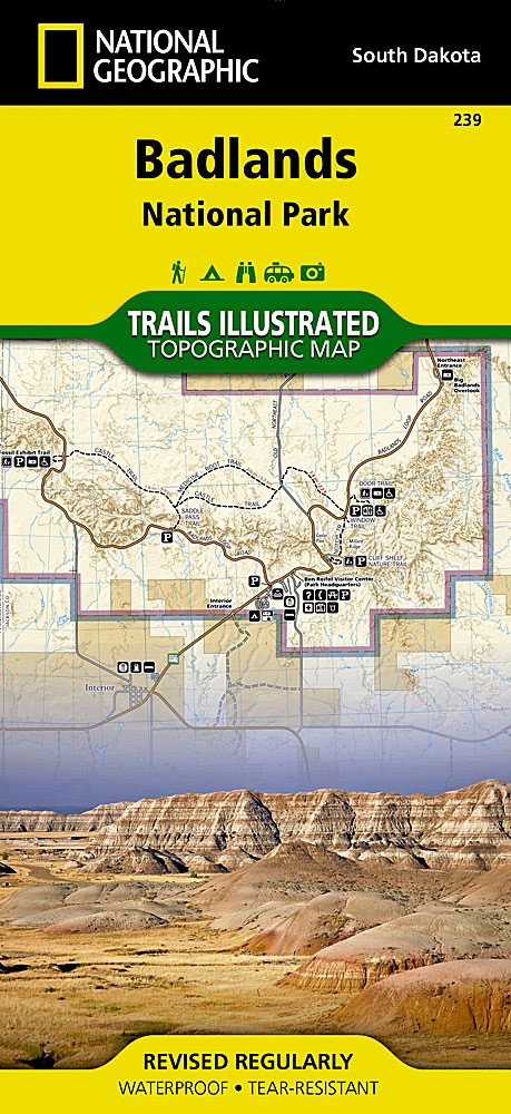
Map No. 239, Badlands National Park, SD, in an extensive series of GPS compatible, contoured hiking maps of USA’s national and state parks or forests and other popular recreational areas. Cartography based on the national topographic survey, with additional tourist information.The maps, with most titles now printed on light, waterproof and tear-resistant plastic paper, highlight
Everglades National Park FL
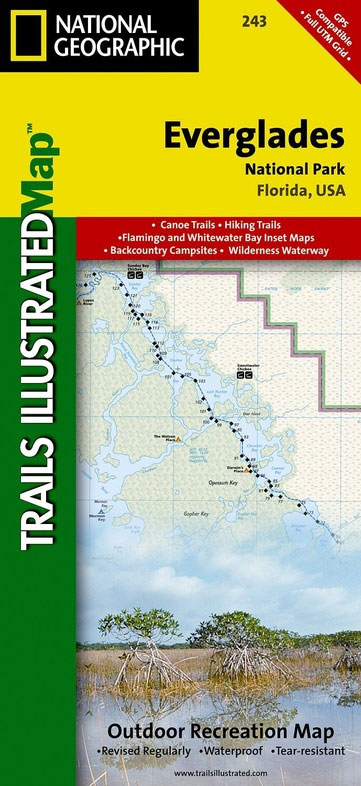
Map No. 243, Everglades National Park, FL, in an extensive series of GPS compatible, contoured hiking maps of USA’s national and state parks or forests and other popular recreational areas. Cartography based on the national topographic survey, with additional tourist information.The maps, with most titles now printed on light, waterproof and tear-resistant plastic paper, highlight
Channel Islands National Park CA NGS Trails Illustrated Map 252
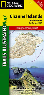
Map No. 252, Channel Islands National Parkin California, at 1:25,000/1:50,000 in an extensive series of GPS compatible, contoured hiking maps of USA’s national and state parks or forests and other popular recreational areas. Cartography based on the national topographic survey, with additional tourist information.The maps, with most titles now printed on light, waterproof and tear-resistant