Category Archives: Maps
Flagstaff – Sedona – Coconino and Kaibab National Forests AZ
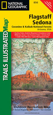
Map No. 856, Coconino National Forest: Flagstaff and Sedona, AZ, in an extensive series of GPS compatible, contoured hiking maps of USA’s national and state parks or forests and other popular recreational areas. Cartography based on the national topographic survey, with additional tourist information.The maps, with most titles now printed on light, waterproof and tear-resistant
Grand Canyon National Park West AZ
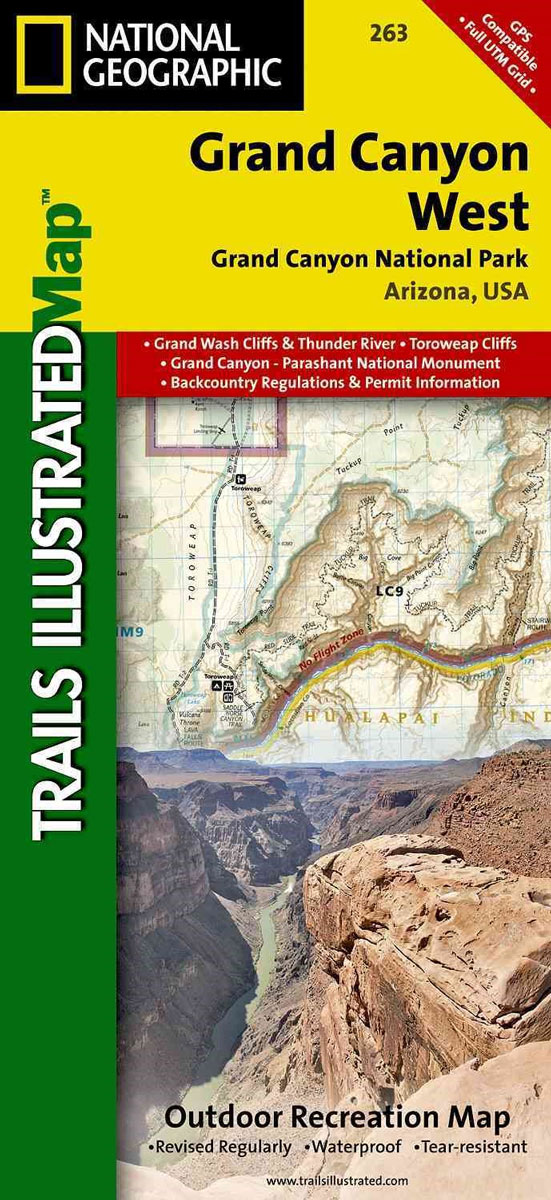
Grand Canyon West, one of two maps from the National Geographic Society at 1:90,000 approx. providing coverage of the entire Grand Canyon. Printed on light, waterproof and tear-resistant plastic paper, the maps are double-sided and provided an exceptionally vivid picture of the area. Topography is shown by contours at 100 feet intervals enhanced by bold
Apache Creek – Juniper Mesa – Prescott and Kaibab National Forests AZ 857
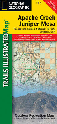
Map No. 857, Prescott National Forest: Apache Creek and Juniper Mesa Wilderness Areas, AZ, in an extensive series of GPS compatible, contoured hiking maps of USA’s national and state parks or forests and other popular recreational areas. Cartography based on the national topographic survey, with additional tourist information.The maps, with most titles now printed on
Cades Cove – Elkmont – Great Smoky Mountains National Park NC/TN
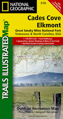
Map No. 316, Great Smoky Mountains National Park: Cades Cove – Elkmont, NC/TN, in an extensive series of GPS compatible, contoured hiking maps of USA’s national and state parks or forests and other popular recreational areas. Cartography based on the national topographic survey, with additional tourist information.The maps, with most titles now printed on light,
Bradshaw Mountains – Prescott National Forest AZ

Map No. 858, Prescott National Forest: Bradshaw Mountains, AZ, in an extensive series of GPS compatible, contoured hiking maps of USA’s national and state parks or forests and other popular recreational areas. Cartography based on the national topographic survey, with additional tourist information.The maps, with most titles now printed on light, waterproof and tear-resistant plastic
Clingman`s Dome – Catalooche – Great Smoky Mountains National Park NC/TN
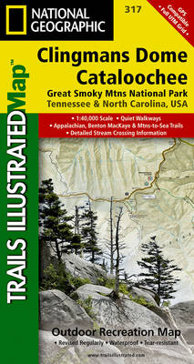
Map No. 317, Great Smoky Mountains National Park: Clingman`s Dome – Catalooche, NC/TN, in an extensive series of GPS compatible, contoured hiking maps of USA’s national and state parks or forests and other popular recreational areas. Cartography based on the national topographic survey, with additional tourist information.The maps, with most titles now printed on light,
Puerto Rico NGS Adventure Map 3107

Puerto Rico at 1: 125,000 on a detailed, double-sided map from the National Geographic Society Adventure series, printed on light, waterproof and tear-resistant plastic paper. A street plan of San Juan is included.The map divides the island east/west with a small overlap between the sides. Topography is shown by contours at 50 m intervals enhanced
Superior National Forest – Boundary Waters East MN
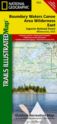
Map No. 752, Superior National Forest: Boundary Waters East, MN, in an extensive series of GPS compatible, contoured hiking maps of USA’s national and state parks or forests and other popular recreational areas. Cartography based on the national topographic survey, with additional tourist information.The maps, with most titles now printed on light, waterproof and tear-resistant
Superior National Forest – Boundary Waters West MN
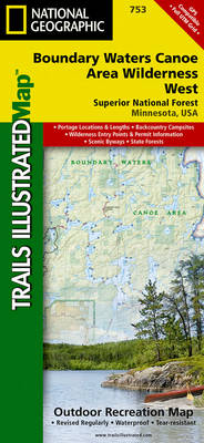
Map No. 753, Superior National Forest: Boundary Waters West, MN, in an extensive series of GPS compatible, contoured hiking maps of USA’s national and state parks or forests and other popular recreational areas. Cartography based on the national topographic survey, with additional tourist information.The maps, with most titles now printed on light, waterproof and tear-resistant
Voyageurs National Park MN
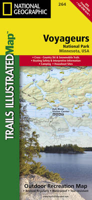
Map No. 264, Voyageurs National Park, MN, in an extensive series of GPS compatible, contoured hiking maps of USA’s national and state parks or forests and other popular recreational areas. Cartography based on the national topographic survey, with additional tourist information.The maps, with most titles now printed on light, waterproof and tear-resistant plastic paper, highlight
Mount St Helens – Mount Adams – Gifford-Pinchot National Forest WA
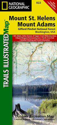
Map No. 822, Mount St Helens and Mount Adams Wilderness Areas – Gifford-Pinchot National Forest, WA, in an extensive series of GPS compatible, contoured hiking maps of USA’s national and state parks or forests and other popular recreational areas. Cartography based on the national topographic survey, with additional tourist information.The maps, with most titles now
Goat Rocks – Norse Peak William O. Douglas Wilderness Area WA
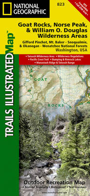
Map No. 823, Goat Rocks and Norse Peak Wilderness Area – Gifford-Pinchot and Okanogan-Wenatchee National Forests, WA, in an extensive series of GPS compatible, contoured hiking maps of USA’s national and state parks or forests and other popular recreational areas. Cartography based on the national topographic survey, with additional tourist information.The maps, with most titles
Alpine Lakes Wilderness – Mt Baker-Snoqualmie and Okanogan-Wenatchee National Forests WA
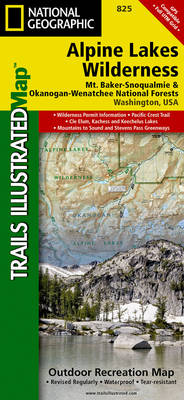
Map No. 825, Alpine Lakes Wilderness Area – Mount Baker-Snoqualmie Wilderness Areas and Okanogan-Wenatchee National Forests, WA, in an extensive series of GPS compatible, contoured hiking maps of USA’s national and state parks or forests and other popular recreational areas. Cartography based on the national topographic survey, with additional tourist information.The maps, with most titles
Mt Baker – Boulder River Wilderness Areas – Mt Baker-Snoqualmie National Forest WA
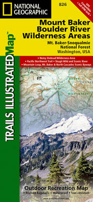
Map No. 826, Mount Baker and Boulder River Wilderness Areas – Snoqualmie National Forest, WA, in an extensive series of GPS compatible, contoured hiking maps of USA’s national and state parks or forests and other popular recreational areas. Cartography based on the national topographic survey, with additional tourist information.The maps, with most titles now printed
Grand Junction – Fruita CO

Map No. 502, Grand Junction – Fruita, CO, in an extensive series of GPS compatible, contoured hiking maps of USA’s national and state parks or forests and other popular recreational areas. Cartography based on the national topographic survey, with additional tourist information.The maps, with most titles now printed on light, waterproof and tear-resistant plastic paper,
Durango – Cortez CO
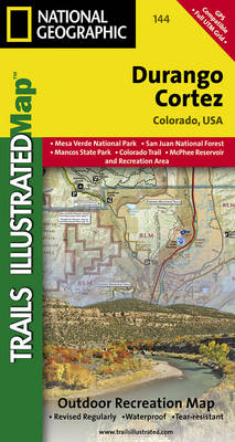
Map No. 144, Durango – Cortez, CO, in an extensive series of GPS compatible, contoured hiking maps of USA’s national and state parks or forests and other popular recreational areas. Cartography based on the national topographic survey, with additional tourist information.The maps, with most titles now printed on light, waterproof and tear-resistant plastic paper, highlight
Carlsbad Caverns National Park NM
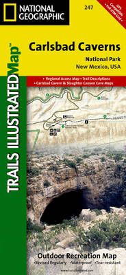
Map No. 247, Carlsbad Caverns National Park in New Mexico at 1:35,000 in an extensive series of GPS compatible, contoured hiking maps of USA’s national and state parks or forests and other popular recreational areas. Cartography based on the national topographic survey, with additional tourist information.The maps, with most titles now printed on light, waterproof
Theodore Roosevelt National Park / Maah Daah Hey Trail ND
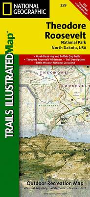
Map No. 259, Theodore Roosevelt National Park/ Maah Daah Hey Trail in North Dakota, at 1:40,000 in an extensive series of GPS compatible, contoured hiking maps of USA’s national and state parks or forests and other popular recreational areas. Cartography based on the national topographic survey, with additional tourist information.The maps, with most titles now
DelMarVa Peninsula – Delaware – Maryland – Virginia Recreational Map
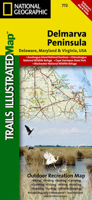
Map No. 772, DelMarVa Peninsula (Delaware, Maryland, Virginia) Recreational Map, in an extensive series of GPS compatible, contoured hiking maps of USA’s national and state parks or forests and other popular recreational areas. Cartography based on the national topographic survey, with additional tourist information.The maps, with most titles now printed on light, waterproof and tear-resistant
Franconia Notch – Lincoln – White Mountain National Forest NH 740
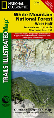
Map No. 740, White Mountains National Forest: Franconia Notch – North Conway, NH, in an extensive series of GPS compatible, contoured hiking maps of USA’s national and state parks or forests and other popular recreational areas. Cartography based on the national topographic survey, with additional tourist information.The maps, with most titles now printed on light,