Category Archives: Maps
Nicaragua – Honduras – El Salvador NGS Adventure Map 3109
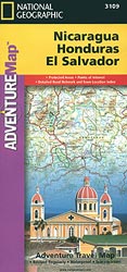
Nicaragua, Honduras and El Salvador at 1:710,000 in a series of Adventure maps from the National Geographic Society with cartography provided by Reise Know-How. The map, double-sided and printed on light waterproof and tear-resistant plastic paper, presents El Salvador with Honduras on one side, with Nicaragua on the reverse. Cartographic information provided by Reise Know-How
Egypt NGS Adventure Map 3202
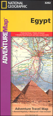
Egypt at 1:1,250,000 in a series of Adventure maps from the National Geographic Society with cartography provided by Reise Know-How. The map is double-sided, printed on light waterproof and tear-resistant synthetic paper, and covers the whole country, including the whole of the Western Desert and the Sinai, with just the southernmost part of the Red
Morocco NGS Adventure Map 3203
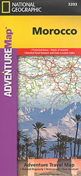
Morocco at 1:1,000,000 in a series of Adventure maps from the National Geographic Society with cartography provided by Reise Know-How. The map is double-sided and printed on light waterproof and tear-resistant synthetic paper.The map has a very generous overlap between the sides: Marrakesh and the Jbel Toubkal region of the High Atlas are on both
South Africa Adventure Map
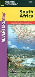
South Africa at 1:1,550,000 in a series of Adventure maps from the National Geographic Society with cartography provided by Reise Know-How. The map is double-sided and printed on light waterproof and tear-resistant plastic paper.Cartographic information provided by Reise Know-How has been adjusted to follow the house style of the NGS Adventure series with greater emphasis
Finland and Northern Scandinavia NGS Adventure Map 3300
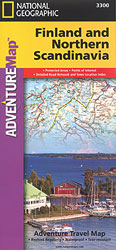
Finland and Northern Scandinavia at 1:975,000 in a series of Adventure maps from the National Geographic Society with cartography provided by Reise Know-How. The map is double-sided and printed on light waterproof and tear-resistant synthetic paper.Cartographic information provided by Reise Know-How has been adjusted to follow the house style of the NGS Adventure series with
Southern Sweden and Norway Adventure Map

Southern Sweden and Norway at 1:975,000 in a series of Adventure maps from the National Geographic Society with cartography provided by Reise Know-How. The map is double-sided and printed on light waterproof and tear-resistant synthetic paper.Cartographic information provided by Reise Know-How has been adjusted to follow the house style of the NGS Adventure series with
Iceland Adventure Map
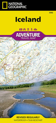
AdventureMaps provide global travellers with the perfect combination of detail and perspective. Iceland`s western half is shown on the front side of the map including the cities of Reykjavik, Kpavogur, Mossfellsbaer, and Siglufj”rdur. The reverse side covers the eastern portion of the country showing the cities of Akureyri, Egilsstadir, Eskifj”rdur, Neskaupstadur, Hsavik, and H”fn. Popular
Ireland Adventure Map
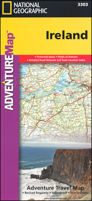
Ireland at 1:385,000 approx. in a series of Adventure maps from the National Geographic Society with cartography provided by Reise Know-How. The map is printed on light waterproof and tear-resistant synthetic paper and is double-sided, with Dublin and Galway included on both sides.Cartographic information provided by Reise Know-How has been adjusted to follow the house
Italy NGS Adventure Map 3304
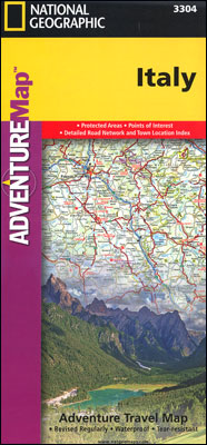
Italy at 1:1,000,000 approx. in a series of Adventure maps from the National Geographic Society with cartography provided by Reise Know-How. The map is printed on light waterproof and tear-resistant synthetic paper and is double-sided, with Rome included on both sides.Cartographic information provided by Reise Know-How has been adjusted to follow the house style of
Tuscany Adventure Map
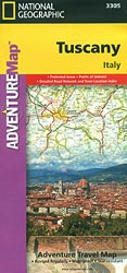
Tuscany at 1:220,000 in a series of Adventure maps from the National Geographic Society with cartography provided by Reise Know-How. The map is double-sided and printed on light waterproof and tear-resistant plastic paper. Cartographic information provided by Reise Know-How has been adjusted to follow the house style of the NGS Adventure series with greater emphasis
Everest Base Camp NGS Adventure Map 3001
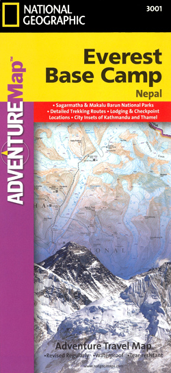
Everest Base Camp area at 1:50,000 approx. on indexed, light, waterproof and tear-resistant hiking map, with a plan of the Kathmandu/Patan area including an enlargement of the Thamel district, plus an overview map of the whole country.The map is part of a series covering Nepal’s four most popular trekking areas. The maps were prepared by
Northern Spain NGS Adventure Map 3306
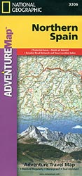
Northern Spain at 1:380,000 in a series of Adventure maps from the National Geographic Society with cartography provided by Reise Know-How. The map is double-sided and printed on light waterproof and tear-resistant plastic paper. Cartographic information provided by Reise Know-How has been adjusted to follow the house style of the NGS Adventure series with greater
Khumbu NGS Adventure Map 3002
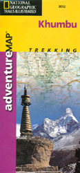
Khumbu area at 1:125,000 approx. on indexed, light, waterproof and tear-resistant hiking map, with a plan of the Kathmandu/Patan area including an enlargement of the Thamel district, plus an overview map of the whole country.The map is part of a series covering Nepal’s four most popular trekking areas. The maps were prepared by the NGS/Trails
Spain – Portugal Adventure Map
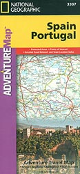
Spain and Portugal at 1:1,000,000 in a series of Adventure maps from the National Geographic Society with cartography provided by Reise Know-How. The map is double-sided and printed on light waterproof and tear-resistant plastic paper. Cartographic information provided by Reise Know-How has been adjusted to follow the house style of the NGS Adventure series with
Voyageurs National Park MN
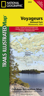
Map No. 264, Voyageurs National Park, MN, in an extensive series of GPS compatible, contoured hiking maps of USA’s national and state parks or forests and other popular recreational areas. Cartography based on the national topographic survey, with additional tourist information.The maps, with most titles now printed on light, waterproof and tear-resistant plastic paper, highlight
Mount St Helens – Mount Adams – Gifford-Pinchot National Forest WA
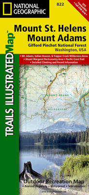
Map No. 822, Mount St Helens and Mount Adams Wilderness Areas – Gifford-Pinchot National Forest, WA, in an extensive series of GPS compatible, contoured hiking maps of USA’s national and state parks or forests and other popular recreational areas. Cartography based on the national topographic survey, with additional tourist information.The maps, with most titles now
Goat Rocks – Norse Peak William O. Douglas Wilderness Area WA
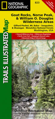
Map No. 823, Goat Rocks and Norse Peak Wilderness Area – Gifford-Pinchot and Okanogan-Wenatchee National Forests, WA, in an extensive series of GPS compatible, contoured hiking maps of USA’s national and state parks or forests and other popular recreational areas. Cartography based on the national topographic survey, with additional tourist information.The maps, with most titles
Alpine Lakes Wilderness – Mt Baker-Snoqualmie and Okanogan-Wenatchee National Forests WA
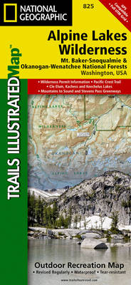
Map No. 825, Alpine Lakes Wilderness Area – Mount Baker-Snoqualmie Wilderness Areas and Okanogan-Wenatchee National Forests, WA, in an extensive series of GPS compatible, contoured hiking maps of USA’s national and state parks or forests and other popular recreational areas. Cartography based on the national topographic survey, with additional tourist information.The maps, with most titles
Mt Baker – Boulder River Wilderness Areas – Mt Baker-Snoqualmie National Forest WA
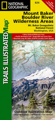
Map No. 826, Mount Baker and Boulder River Wilderness Areas – Snoqualmie National Forest, WA, in an extensive series of GPS compatible, contoured hiking maps of USA’s national and state parks or forests and other popular recreational areas. Cartography based on the national topographic survey, with additional tourist information.The maps, with most titles now printed
Glacier Peak Wilderness – Mt Baker-Snoqualmie and Okanogan-Wenatchee National Forests WA
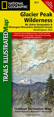
Map No. 827, Glacier Peak Wilderness Area – Mount Baker-SnoqualmieWilderness Areas and Okanogan-Wenatchee National Forests, WA, in an extensive series of GPS compatible, contoured hiking maps of USA’s national and state parks or forests and other popular recreational areas. Cartography based on the national topographic survey, with additional tourist information.The maps, with most titles now