Category Archives: Maps
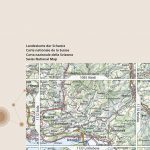
Delaware Water Gap NJ/PA
Map No. 737, Delaware Water Gap between Pennsylvania and New Jersey at 1:40,000, in an extensive series of GPS compatible, contoured hiking maps of USA’s national and state parks or forests and other popular recreational areas. Cartography is based on the national topographic survey, with additional tourist information.The maps, with most titles now printed on
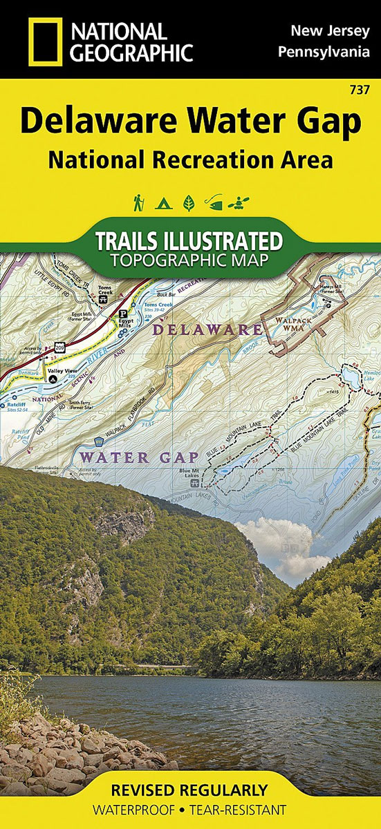
Australia Adventure Map
Australia at 1:4,250,000 in a series of Adventure maps from the National Geographic Society with cartography provided by Reise Know-How. The map is double-sided and printed on light waterproof and tear-resistant synthetic paper. Cartographic information provided by Reise Know-How has been adjusted to follow the house style of the NGS Adventure series with greater emphasis
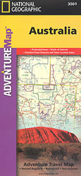
Skyline Boulevard Parks and Preserves CA
Map No. 815, Skyline Boulevard Parks and Preserves along the ridge of the Santa Cruz Mountains in California in an extensive series of GPS compatible, contoured hiking maps of USA’s national and state parks or forests and other popular recreational areas. Cartography based on the national topographic survey, with additional tourist information.The maps, with most
Australia East Adventure Map
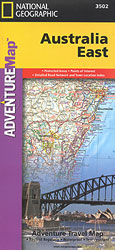
Eastern Australia at 1:1,970,000 in a series of Adventure maps from the National Geographic Society with cartography provided by Reise Know-How. The map is double-sided and printed on light waterproof and tear-resistant synthetic paper. Cartographic information provided by Reise Know-How has been adjusted to follow the house style of the NGS Adventure series with greater
Allegheny National Forest North PA/NY NGS Trails Illustrated Map 738
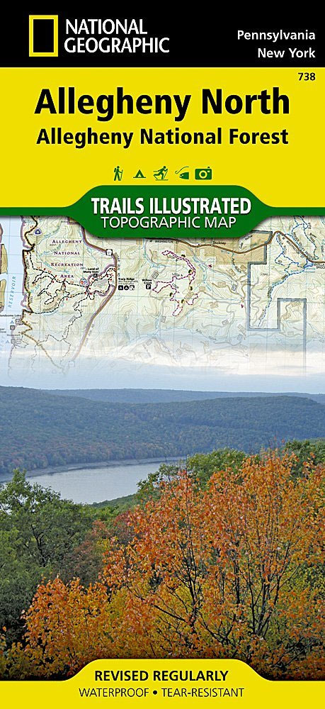
Map No. 738, Allegheny National Forest North in Pennsylvania at 1:70,000, in an extensive series of GPS compatible, contoured hiking maps of USA’s national and state parks or forests and other popular recreational areas. Cartography is based on the national topographic survey, with additional tourist information.The maps, with most titles now printed on light, waterproof
China Adventure Map
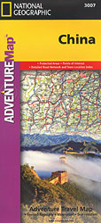
China at 1:4,375,000 in a series of Adventure maps from the National Geographic Society with cartography provided by Reise Know-How. The map is double-sided and printed on light waterproof and tear-resistant synthetic paper. All place names are in both Chinese and Latin alphabet.Cartographic information provided by Reise Know-How has been adjusted to follow the house
Allegheny National Forest South PA
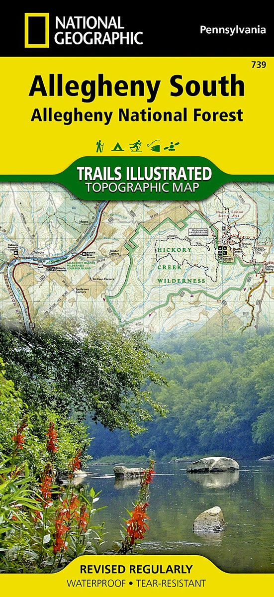
Map No. 739, Allegheny National Forest South in Pennsylvania at 1:70,000, in an extensive series of GPS compatible, contoured hiking maps of USA’s national and state parks or forests and other popular recreational areas. Cartography is based on the national topographic survey, with additional tourist information.The maps, with most titles now printed on light, waterproof
China East Adventure Map
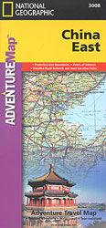
Eastern China at 1:2,950,000 in a series of Adventure maps from the National Geographic Society with cartography provided by Reise Know-How. The map is double-sided and printed on light waterproof and tear-resistant synthetic paper. Place names are in the Latin alphabet, except for larger cities which are also shown is Chinese.Cartographic information provided by Reise
India Adventure Map
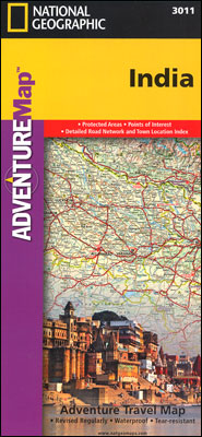
India at 1:3,150,000 approx. in a series of Adventure maps from the National Geographic Society with cartography provided by Reise Know-How. The map is printed on light waterproof and tear-resistant synthetic paper and is double-sided with a good overlap between the sides. Coverage includes most of Pakistan, Nepal, Bhutan, Bangladesh and Sri Lanka. Andaman and
India Northeast NGS Adventure Map 3012
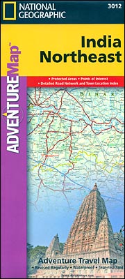
North-Eastern India at 1:1,400,000 approx. in a series of Adventure maps from the National Geographic Society with cartography provided by Reise Know-How. The map is double-sided and printed on light waterproof and tear-resistant plastic paper. Coverage includes the whole of Bangladesh and extends south to the northern part of Andhra Pradesh and west to Lucknow
India South Adventure Map

Southern India at 1:1,400,000 approx. in a series of Adventure maps from the National Geographic Society with cartography provided by Reise Know-How. The map is double-sided and printed on light waterproof and tear-resistant plastic paper. Coverage extends across the western coast to Vadodra (Baroda), along the eastern coast to beyond Kakinada (Cocanada) and inland well
Vietnam North NGS Adventure Map 3015
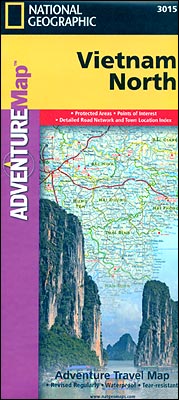
Northern Vietnam at 1:650,000 approx. in a series of Adventure maps from the National Geographic Society with cartography provided by Reise Know-How. The map is double-sided and printed on light waterproof and tear-resistant plastic paper. Coverage extends south to Hue to give a good overlap with the publishers’ map of Southern Vietnam.Cartographic information provided by
Vietnam South NGS Adventure Map 3016
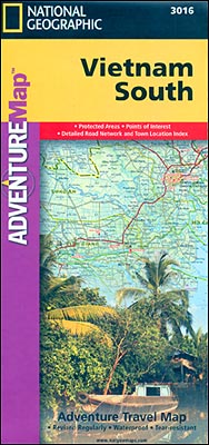
Southern Vietnam at 1:650,000 approx. in a series of Adventure maps from the National Geographic Society with cartography provided by Reise Know-How. The map is double-sided and printed on light waterproof and tear-resistant plastic paper. Coverage extends to well north of Hue to give a good overlap with the publishers’ map of Northern Vietnam.Cartographic information
Germany Adventure Map
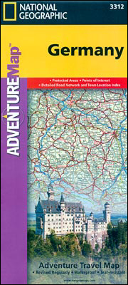
Germany on a double-sided road map 1:825,000 approx. from the National Geographic Society printed on light, waterproof and tear-resistant synthetic paper. Cartographic information provided by the German publishers Reise Know-How is presented here in the overall style of the NGS Adventure maps.The map divides the country north/south with a generous overlap between the sides. Names
Uncompahgre Plateau North CO
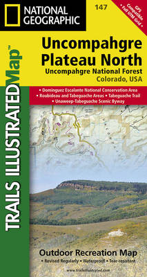
Map No. 147, covering the northern part of the Uncompahgre Plateau in Colorado at 1:63,360 in an extensive series of GPS compatible, contoured hiking maps of USA’s national and state parks or forests and other popular recreational areas. Cartography based on the national topographic survey, with additional tourist information.The maps, with most titles now printed
Slovenia Adventure Map
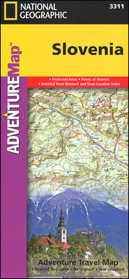
Slovenia at 1:205,000 on a doubled-sided, indexed map from the National Geographic Society. Cartographic information provided by Reise Know-How has been adjusted to follow the house style of the NGS Adventure series with greater emphasis on the country’s topography. Altitude colouring in broader bands has been replaced here by contours at 200m intervals enhanced by
Uncompahgre Plateau South CO
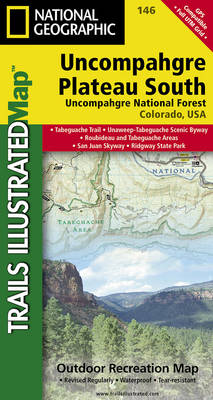
Map No. 146, covering the southern part of the Uncompahgre Plateau in Colorado at 1:63,360 in an extensive series of GPS compatible, contoured hiking maps of USA’s national and state parks or forests and other popular recreational areas. Cartography based on the national topographic survey, with additional tourist information.The maps, with most titles now printed
Argentina NGS Adventure Map 3400
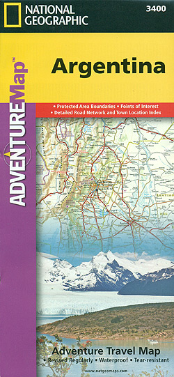
Argentina at 1:2,300,000 in a series of Adventure maps from the National Geographic Society with cartography provided by Reise Know-How. The map, double-sided and printed on light waterproof and tear-resistant plastic paper, divides Argentina north/south with an overlap between the sides. The north-eastern corner with the Missiones province and the Iguazu Falls is shown as

Brazil NGS Adventure Map 3401
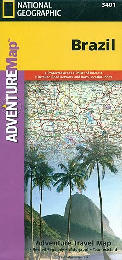
Brazil at 1:4,200,000 in a series of Adventure maps from the National Geographic Society with cartography provided by Reise Know-How. The map is double-sided and printed on light waterproof and tear-resistant plastic paper.The map divides the country west/east, with the whole of the Brazilian Amazon Basin on one side and on the reverse the country