Category Archives: Maps
Austria Adventure Map
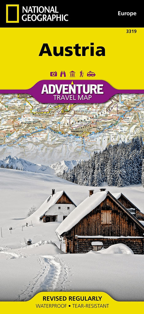
National Geographic`s Austria AdventureMap is designed to meet the unique needs of adventure travelers with its durability and accurate information. This folded map provides global travelers with the perfect combination of detail and perspective, highlighting hundreds of points of interest and the diverse and unique destinations within the country. The map includes the locations of
Switzerland NGS Adventure Map
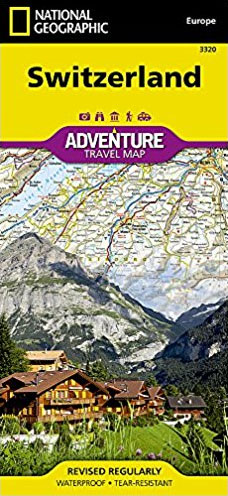
National Geographic’s Switzerland Adventure Map provides global travelers with the perfect combination of detail and perspective in a highly functional travel tool. Cities and towns are clearly indicated and easy to find in the user-friendly index. A road network complete with distances and designations for roads, motorways, expressways, and secondary routes will help you find
Czech Republic NGS Adventure Map 3322
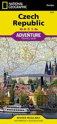
National Geographic`s Czech Republic Adventure Map provides global travelers with the perfect combination of detail and perspective in a highly functional travel tool. This expertly crafted map includes the locations of thousands of cities and towns with an index for easily locating them, plus a clearly marked road network complete with distances and designations for
United Kingdom NGS Adventure Map 3325
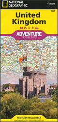
United Kingdom on a double-sided, indexed road map at 1:825,000 from the National Geographic, printed on waterproof and tear-resistant synthetic paper. The country is divided north/south with hardly any overlap between the sides. Topography is indicated by relief shading with contours at 200 metres intervals and names of mountain ranges, peaks, etc. Selected national parks
Mount Whitney CA
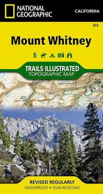
Map No. 322, Mount Whitney in California at 1:40,000, in an extensive series of GPS compatible, contoured hiking maps of USA’s national and state parks or forests and other popular recreational areas. Cartography is based on the national topographic survey, with additional tourist information.The maps, with most titles now printed on light, waterproof and tear-resistant
Logan – Bear River Range UT/ID
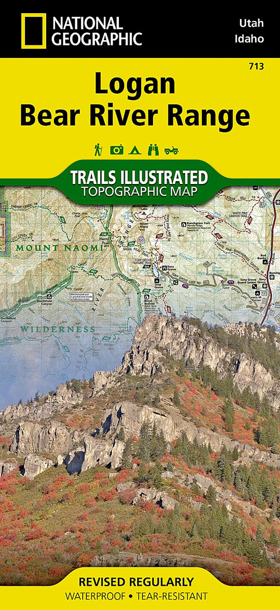
Map No. 700, Logan – Bear River Range in Utah at 1:75,000, part of an extensive series of GPS compatible, contoured hiking maps of USA’s national and state parks or forests and other popular recreational areas. Cartography, based on the national topographic survey, has extensive additional tourist information.The maps, printed on light, waterproof and tear-resistant
Hawaii NGS Adventure Map 3111
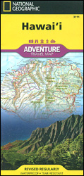
Hawaii Adventure Map at 1:220,000 from the National Geographic with excellent presentation of the islands’ volcanic terrain and numerous places of interest, printed on light, waterproof and tear-resistant synthetic paper. The islands are presented on four separate panels.On one side is Hawaii ‘“ the Big Island, with on the reverse separate panels for Oahu, Kauai
Cuba NGS Adventure Map 3112
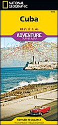
Cuba Adventure Map at 1:750,000 from the National Geographic printed on light, waterproof and rear-resistant synthetic paper. The map is indexed and double-sided, with a generous overlap between the sides. National parks and other protected areas are prominently highlighted.Topography is shown by light altitude colouring, with spot heights and names of mountain ranges, peaks, etc.
Nepal Adventure Map
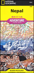
Nepal Adventure Map from the National Geographic presenting the country at 1:625,000 on light, waterproof and tear-resistant synthetic paper, with a large panel showing the main sights and facilities in the Kathmandu ‘“ Patan area.The map is double-sided, dividing the country east/west with a good overlap between the sides. Topography is presented by contours at
Guatemala NGS Adventure Map 3110
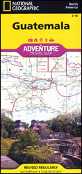
Guatemala at 1:500,000 on an indexed, double-sided, waterproof and tear-resistant adventure map from the National Geographic, prominently highlighting the country’s national parks and other protected areas including biospheres, volcanoes, etc.Topography is shown by contours at 200m intervals, with relief shading, graphics for swamps and coral reefs, and names of mountain ranges, peaks, passes, etc. Numerous
Issaquah Alps – Mount Si WA
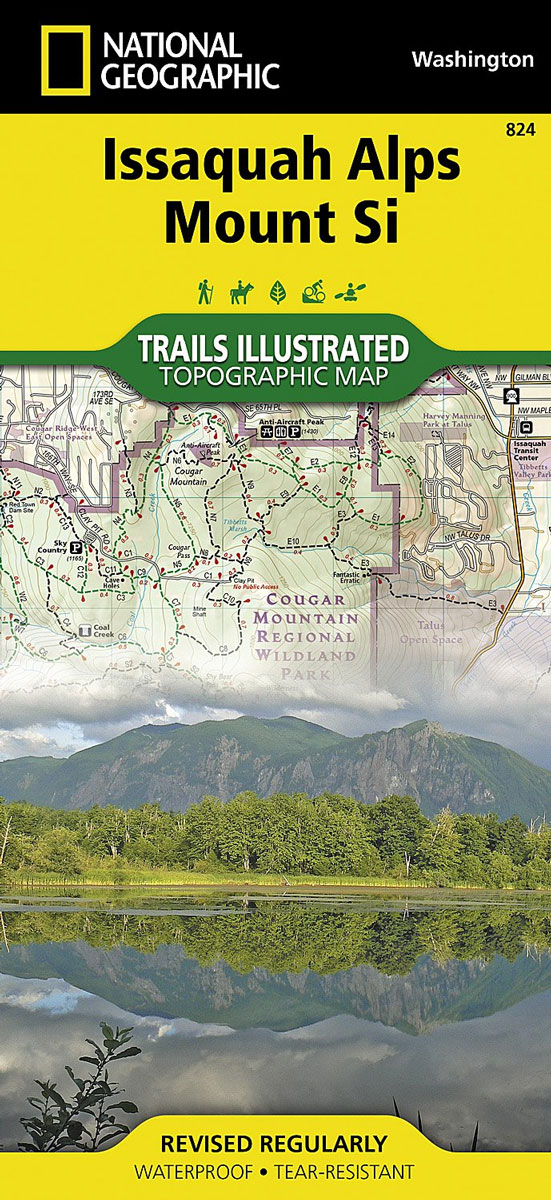
Cougar, Tiger, and Rattlesnake Mountain Parks in Washington State in an extensive series of GPS compatible, contoured hiking maps of USA’s national and state parks or forests and other popular recreational areas. Cartography based on the national topographic survey, with additional tourist information.The maps, with most titles now printed on light, waterproof and tear-resistant plastic
Huron National Forest MI
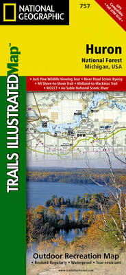
Map No. 757, Huron National Forest, MI, in an extensive series of GPS compatible, contoured hiking maps of USA’s national and state parks or forests and other popular recreational areas. Cartography based on the national topographic survey, with additional tourist information.The maps, with most titles now printed on light, waterproof and tear-resistant plastic paper, highlight
India Adventure Map
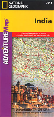
India at 1:3,150,000 approx. in a series of Adventure maps from the National Geographic Society with cartography provided by Reise Know-How. The map is printed on light waterproof and tear-resistant synthetic paper and is double-sided with a good overlap between the sides. Coverage includes most of Pakistan, Nepal, Bhutan, Bangladesh and Sri Lanka. Andaman and
India Northeast NGS Adventure Map 3012
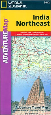
North-Eastern India at 1:1,400,000 approx. in a series of Adventure maps from the National Geographic Society with cartography provided by Reise Know-How. The map is double-sided and printed on light waterproof and tear-resistant plastic paper. Coverage includes the whole of Bangladesh and extends south to the northern part of Andhra Pradesh and west to Lucknow
India South Adventure Map

Southern India at 1:1,400,000 approx. in a series of Adventure maps from the National Geographic Society with cartography provided by Reise Know-How. The map is double-sided and printed on light waterproof and tear-resistant plastic paper. Coverage extends across the western coast to Vadodra (Baroda), along the eastern coast to beyond Kakinada (Cocanada) and inland well
Vietnam North NGS Adventure Map 3015
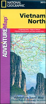
Northern Vietnam at 1:650,000 approx. in a series of Adventure maps from the National Geographic Society with cartography provided by Reise Know-How. The map is double-sided and printed on light waterproof and tear-resistant plastic paper. Coverage extends south to Hue to give a good overlap with the publishers’ map of Southern Vietnam.Cartographic information provided by
Vietnam South NGS Adventure Map 3016
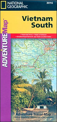
Southern Vietnam at 1:650,000 approx. in a series of Adventure maps from the National Geographic Society with cartography provided by Reise Know-How. The map is double-sided and printed on light waterproof and tear-resistant plastic paper. Coverage extends to well north of Hue to give a good overlap with the publishers’ map of Northern Vietnam.Cartographic information
Germany Adventure Map
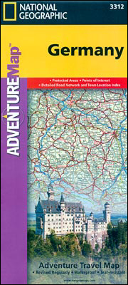
Germany on a double-sided road map 1:825,000 approx. from the National Geographic Society printed on light, waterproof and tear-resistant synthetic paper. Cartographic information provided by the German publishers Reise Know-How is presented here in the overall style of the NGS Adventure maps.The map divides the country north/south with a generous overlap between the sides. Names