Category Archives: Maps
Shawangunk Mountains NY NGS Trails Illustrated Map 750
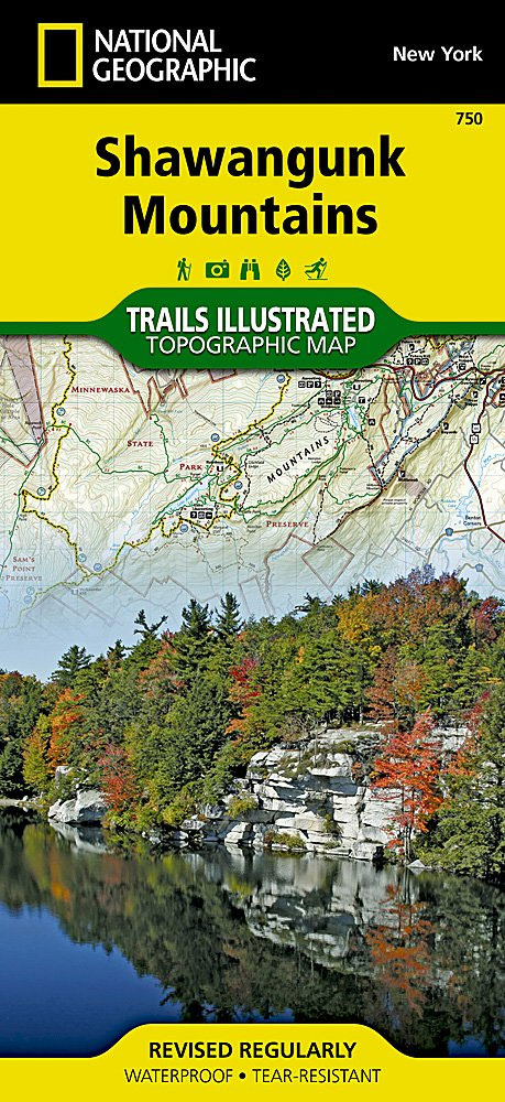
Map No. 750, Shawangunk Mountains in New York State at 1:50,000, part of an extensive series of GPS compatible, contoured hiking maps of USA’s national and state parks or forests and other popular recreational areas. Cartography, based on the national topographic survey, has extensive additional tourist information.The maps, printed on light, waterproof and tear-resistant plastic
Bend – Three Sisters OR NGS Trails Illustrated Map 818
Map No. 818, Bend – Three Sisters in Oregon, in an extensive series of GPS compatible, contoured hiking maps of USA’s national and state parks or forests and other popular recreational areas. Cartography based on the national topographic survey, with additional tourist information.The maps, with most titles now printed on light, waterproof and tear-resistant plastic
Missoula – Mission Mountains MT
Map No. 724, Missoula – Mission Mountains in Montana at 1:70,000, part of an extensive series of GPS compatible, contoured hiking maps of USA’s national and state parks or forests and other popular recreational areas. Cartography, based on the national topographic survey, has extensive additional tourist information.The maps, printed on light, waterproof and tear-resistant plastic
Mt Jefferson – Mt Washington Wilderness OR NGS Trails Illustrated Map 819
Map No. 819, Mt Jefferson – Mt Washington Wilderness in Oregon, in an extensive series of GPS compatible, contoured hiking maps of USA’s national and state parks or forests and other popular recreational areas. Cartography based on the national topographic survey, with additional tourist information.The maps, with most titles now printed on light, waterproof and
Mount Rogers High Country VA
Map No. 318 – Mount Rogers High Country in Virginia in an extensive series of GPS compatible, contoured hiking maps of USA’s national and state parks or forests and other popular recreational areas. Cartography based on the national topographic survey, with additional tourist information.The maps, with most titles now printed on light, waterproof and tear-resistant
Old Faithful Day Hikes WY
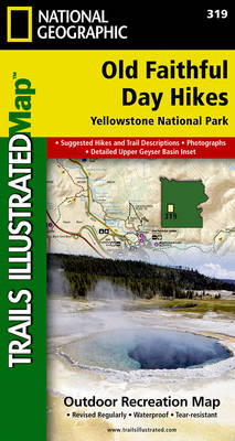
Map No. 3195, Old Faithful Day Hikes in Wyoming, at 1:35,000 in an extensive series of GPS compatible, contoured hiking maps of USA’s national and state parks or forests and other popular recreational areas. Cartography based on the national topographic survey, with additional tourist information.The maps, with most titles now printed on light, waterproof and
Mount Hood Wilderness OR NGS Trails Illustrated Map 321
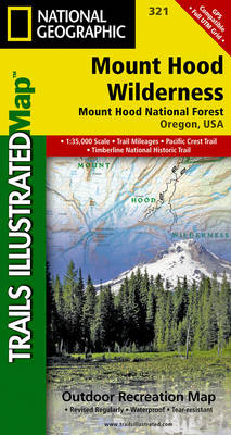
Map No. 321, Mount Hood Wilderness in Oregon, in an extensive series of GPS compatible, contoured hiking maps of USA’s national and state parks or forests and other popular recreational areas. Cartography based on the national topographic survey, with additional tourist information.The maps, with most titles now printed on light, waterproof and tear-resistant plastic paper,
Collegiate Peaks Wilderness CO
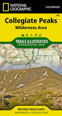
Map No. 148, Collegiate Peaks Wildernes, CO, in an extensive series of GPS compatible, contoured hiking maps of USA’s national and state parks or forests and other popular recreational areas. Cartography based on the national topographic survey, with additional tourist information.The maps, with most titles now printed on light, waterproof and tear-resistant plastic paper, highlight
Eagles Nest and Holy Cross Wilderness Areas CO
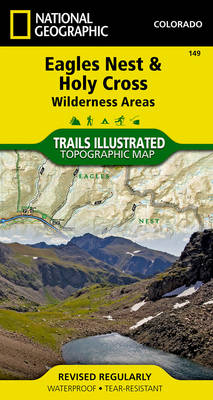
Map No. 149, Holy Cross – Eagles Nest Wilderness, CO, in an extensive series of GPS compatible, contoured hiking maps of USA’s national and state parks or forests and other popular recreational areas. Cartography based on the national topographic survey, with additional tourist information.The maps, with most titles now printed on light, waterproof and tear-resistant
Capitol Reef National Park UT
Map No. 267, Capitol Reef National Park in Utah at 1:75,000 in an extensive series of GPS compatible, contoured hiking maps of USA’s national and state parks or forests and other popular recreational areas. Cartography based on the national topographic survey, with additional tourist information.The maps, with most titles now printed on light, waterproof and
Marco Island – Ten Thousand Islands FL
Marco Island – Ten Thousand Islands Coastal Recreation Map at 1:40,000 from the National Geographic in their extensive series of GPS compatible maps of USA’s national and state parks or forests and other popular recreational areas. Cartography based on the national topographic survey, with additional tourist information. Coverage includes Florida’s Rookery Bay National Estuarine Research
Big Basin – Santa Cruz Parks and Preserves CA
Map No. 816, Big Basin/Santa Cruz Parks and Preserves in California in an extensive series of GPS compatible, contoured hiking maps of USA’s national and state parks or forests and other popular recreational areas. Cartography based on the national topographic survey, with additional tourist information.The maps, with most titles now printed on light, waterproof and
Fort Meyers FL
Map No. 407, Fort Meyers in Florida at 1:63,360 in an extensive series of GPS compatible, contoured hiking maps of USA’s national and state parks or forests and other popular recreational areas. Cartography based on the national topographic survey, with additional tourist information.The maps, with most titles now printed on light, waterproof and tear-resistant plastic
Santa Fe – Truchas Peak NM
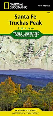
Map No. 731, Santa Fe – Truchas Peak in New Mexico at 1:63,360, part of an extensive series of GPS compatible, contoured hiking maps of USA’s national and state parks or forests and other popular recreational areas. Cartography, based on the national topographic survey, has extensive additional tourist information.The maps, printed on light, waterproof and
Banff South – Banff & Kootenay National Parks
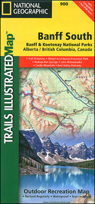
The southern part of the Banff National Park on a double-sided, contoured, GPS compatible recreational map at 1:100,000 from the National Geographic printed on light, waterproof and tear-resistant synthetic paper. Coverage extends to the southern boundary of the Kootenay National Park, with a wide overlap and Banff village shown on both sides of the map.This
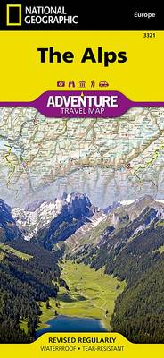
Austria Adventure Map

National Geographic`s Austria AdventureMap is designed to meet the unique needs of adventure travelers with its durability and accurate information. This folded map provides global travelers with the perfect combination of detail and perspective, highlighting hundreds of points of interest and the diverse and unique destinations within the country. The map includes the locations of
Switzerland NGS Adventure Map
National Geographic’s Switzerland Adventure Map provides global travelers with the perfect combination of detail and perspective in a highly functional travel tool. Cities and towns are clearly indicated and easy to find in the user-friendly index. A road network complete with distances and designations for roads, motorways, expressways, and secondary routes will help you find