Category Archives: Maps
Faial – Horta – Azores 7
Topographic survey of Portugal at 1:25,000 from the Instituto Geogrรกfico do Exรฉrcito, the country’s military survey organisation.Map legend and a glossary of terms used on the maps include English.To see all the titles in this series please click on the series link.
Pico – S.Roque do Pico – Azores 8
Topographic survey of Portugal at 1:25,000 from the Instituto Geogrรกfico do Exรฉrcito, the country’s military survey organisation.Map legend and a glossary of terms used on the maps include English.To see all the titles in this series please click on the series link.
Pico – Prainha de Cima – Azores 9
Topographic survey of Portugal at 1:25,000 from the Instituto Geogrรกfico do Exรฉrcito, the country’s military survey organisation.Map legend and a glossary of terms used on the maps include English.To see all the titles in this series please click on the series link.
Pico – Candelaria – Azores 10
Topographic survey of Portugal at 1:25,000 from the Instituto Geogrรกfico do Exรฉrcito, the country’s military survey organisation.Map legend and a glossary of terms used on the maps include English.To see all the titles in this series please click on the series link.
Pico – S.Mateus – Azores 11
Topographic survey of Portugal at 1:25,000 from the Instituto Geogrรกfico do Exรฉrcito, the country’s military survey organisation.Map legend and a glossary of terms used on the maps include English.To see all the titles in this series please click on the series link.
Pico – Lajes do Pico – Azores 12
Topographic survey of Portugal at 1:25,000 from the Instituto Geogrรกfico do Exรฉrcito, the country’s military survey organisation.Map legend and a glossary of terms used on the maps include English.To see all the titles in this series please click on the series link.
Pico – Piedade – Azores 13
Topographic survey of Portugal at 1:25,000 from the Instituto Geogrรกfico do Exรฉrcito, the country’s military survey organisation.Map legend and a glossary of terms used on the maps include English.To see all the titles in this series please click on the series link.
S. Jorge – Farol de Rosais – Azores 14
Topographic survey of Portugal at 1:25,000 from the Instituto Geogrรกfico do Exรฉrcito, the country’s military survey organisation.Map legend and a glossary of terms used on the maps include English.To see all the titles in this series please click on the series link.
Oaxaca State – Oaxaca City
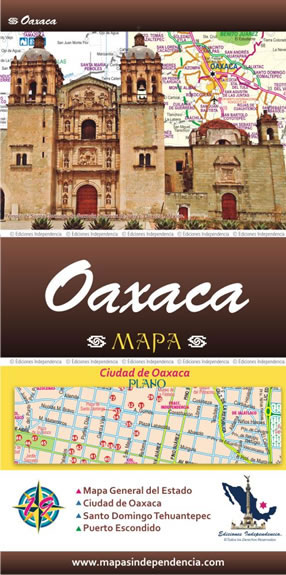
Road maps of Mexico’s states from Ediciones Independencia highlighting numerous places of interest and tourist facilities, with each title also providing a large street plan of the provincial capital plus maps of other local towns, popular tourist resorts and/or archaeological sites.The state maps show the road and rail networks on a clear base, with topography
Quintana Roo State – Chetumal, Cancรบn, Cozumel and Playa del Carmen
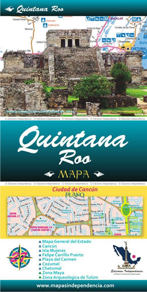
Road maps of Mexico’s states from Ediciones Independencia highlighting numerous places of interest and tourist facilities, with each title also providing a large street plan of the provincial capital plus maps of other local towns, popular tourist resorts and/or archaeological sites.The state maps show the road and rail networks on a clear base, with topography
Sinaloa State – Culiacรกn – Mazatlan – Los Moches
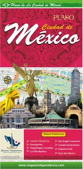
Road maps of Mexico’s states from Ediciones Independencia highlighting numerous places of interest and tourist facilities, with each title also providing a large street plan of the provincial capital plus maps of other local towns, popular tourist resorts and/or archaeological sites.The state maps show the road and rail networks on a clear base, with topography
Tabasco State – Villahermosa
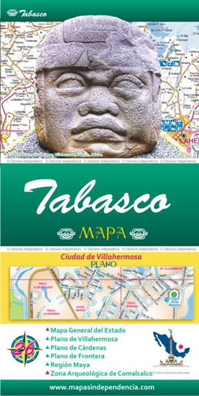
Road maps of Mexico’s states from Ediciones Independencia highlighting numerous places of interest and tourist facilities, with each title also providing a large street plan of the provincial capital plus maps of other local towns, popular tourist resorts and/or archaeological sites.The state maps show the road and rail networks on a clear base, with topography
Veracruz State – Xalpa and Veracruz City
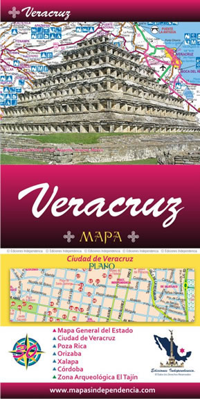
Road maps of Mexico’s states from Ediciones Independencia highlighting numerous places of interest and tourist facilities, with each title also providing a large street plan of the provincial capital plus maps of other local towns, popular tourist resorts and/or archaeological sites.The state maps show the road and rail networks on a clear base, with topography
Yucatan State – Mรฉrida
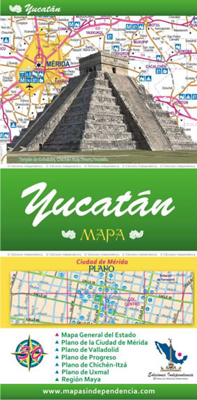
Road maps of Mexico’s states from Ediciones Independencia highlighting numerous places of interest and tourist facilities, with each title also providing a large street plan of the provincial capital plus maps of other local towns, popular tourist resorts and/or archaeological sites.The state maps show the road and rail networks on a clear base, with topography
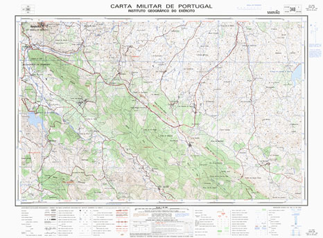
Marvao Topo 348
Mexico Road and Tourist Atlas
Mexico at 1:1,089,000 approx on an A4, paperback, indexed road and tourist atlas from the Mexico City-based Ediciones Independencia, with mapping highlighting numerous places of interest, plus large clear street plans and maps of city environs.The atlas covers Mexico on 56 pages showing the road and rail network on plain background with no specific topographic
Campeche State – Campeche City
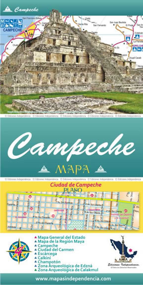
Road maps of Mexico’s states from Ediciones Independencia highlighting numerous places of interest and tourist facilities, with each title also providing a large street plan of the provincial capital plus maps of other local towns, popular tourist resorts and/or archaeological sites.The state maps show the road and rail networks on a clear base, with topography
Chiapas State – Tuxtla Gutiรฉrrez
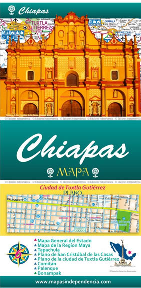
Road maps of Mexico’s states from Ediciones Independencia highlighting numerous places of interest and tourist facilities, with each title also providing a large street plan of the provincial capital plus maps of other local towns, popular tourist resorts and/or archaeological sites.The state maps show the road and rail networks on a clear base, with topography


