Category Archives: Maps
Alaska NGS Adventure Map 3117
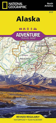
Alaska`s most famous hotspots, like Denali, Anchorage, the Inside Passage, Klondike Gold Rush National Historical Park, and many others are clearly marked on the map. The boundaries of National Parks, National Forests, Natural Reserves and Wildlife Refuges are all clearly marked. With such a wealth of content, the map is an ideal complement to National
Paria Canyon – Kanab – Vermillion Cliffs NM – Grand Staircase-Escalante NM AZ/UT
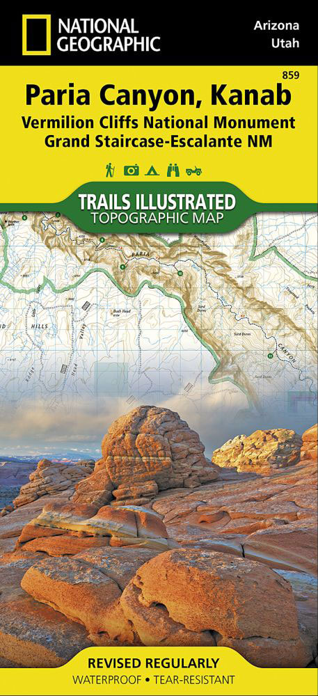
Map No. 859 covering at 1:75,000 the Paria Canyon – Kanab (Vermillion Cliffs National Monument & Grand Staircase-Escalante National Monument) area of northern Arizona and southern Utah. The title is part of an extensive series in the National Geographic’s Trails Illustrated imprint of GPS compatible, contoured hiking maps of USA’s national and state parks or
Pacific Crest Trail – Washington North NGS Topographic Map-Guide 1002
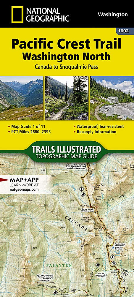
The Washington North Topographic Map Guide follows the Pacific Crest Trail (PCT) as it traverses the heart of the northern Cascades, a remote and rugged environment characterized by deep valleys, steep mountain peaks, and wet weather. The trail follows a torturous path across ridges and high mountain passes, dropping into valley bottoms only to–once again–climb
Grand Staircase – Paunsaugunt Plateau – Grand Staircase-Escalante NM
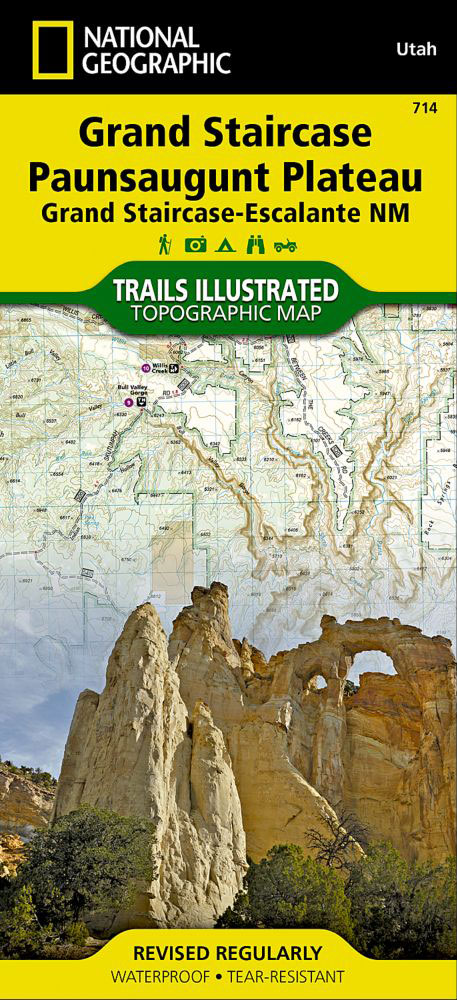
Map No. 714 covering at 1:75,000 the Grand Staircase, Paunsaugunt Plateau (Grand Staircase-Escalante National Monument) area of Utah. The title is part of an extensive series in the National Geographic’s Trails Illustrated imprint of GPS compatible, contoured hiking maps of USA’s national and state parks or forests and other popular recreational areas. Cartography is based
Pacific Crest Trail – Washington South NGS Topographic Map-Guide 1003
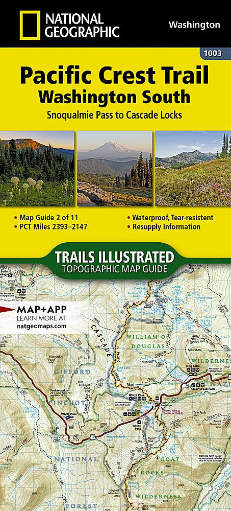
The Washington South Topographic Map Guide follows the Pacific Crest Trail (PCT) as it travels through a landscape dotted with lakes, perennial snowfields, and small glaciers. In the heavily eroded, rugged mountains of central Washington, the PCT crosses steep ridges and high mountain passes. The trail skirts the base of Mount Adams and its volcanic
John Muir Trail CA Topographic Map-Guide
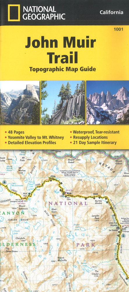
National Geographic`s Map Guide of the John Muir Trail is an indispensable tool for navigating one of the most famous trails in the United States. The maps start at the northern terminus in Yosemite Valley and progress along the ridge of the Sierra Nevada, past Devils Postpile, and end at the highest point in the
Pacific Crest Trail – Oregon North NGS Topographic Map-Guide 1004
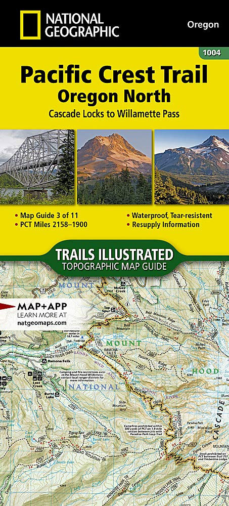
The Oregon North Topographic Map Guide follows the Pacific Crest Trail (PCT) as it passes through a land of contrasts. After crossing the Columbia River, the trail quickly climbs out of the Columbia River Gorge and settles into a pattern of skirting the enormous cone-shaped stratovolcanoes of the central Cascades. Some, like Mount Hood, are
Flat Tops North CO NGS Trails Illustrated Map 150
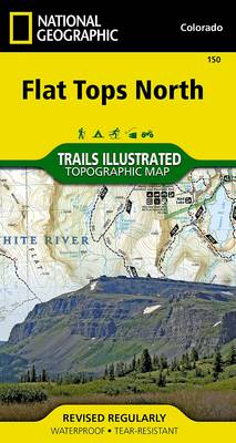
Map No. 150, Flat Tops North in Colorado at 1:63,360, part of an extensive series of GPS compatible, contoured hiking maps of USA’s national and state parks or forests and other popular recreational areas. Cartography, based on the national topographic survey, has extensive additional tourist information.The maps, printed on light, waterproof and tear-resistant plastic paper,
Flat Tops South CO NGS Trails Illustrated Map 151
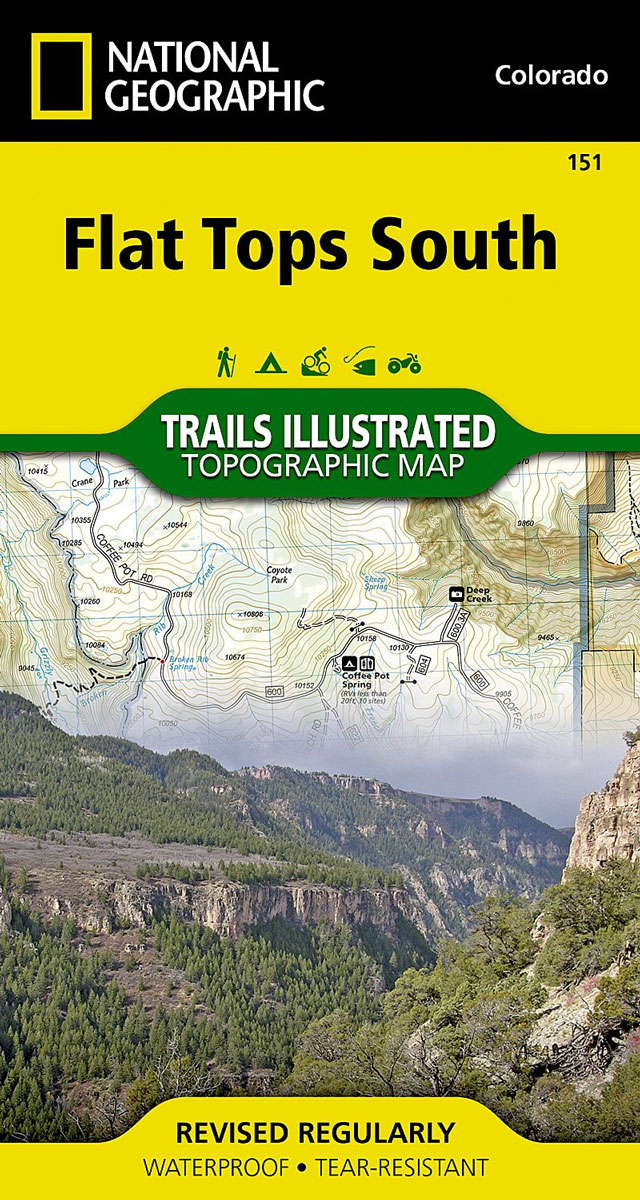
Map No. 151, Flat Tops South in Colorado at 1:63,360, part of an extensive series of GPS compatible, contoured hiking maps of USA’s national and state parks or forests and other popular recreational areas. Cartography, based on the national topographic survey, has extensive additional tourist information.The maps, printed on light, waterproof and tear-resistant plastic paper,
Voyageurs Paddle Routes MN NGS Trails Illustrated Map 410
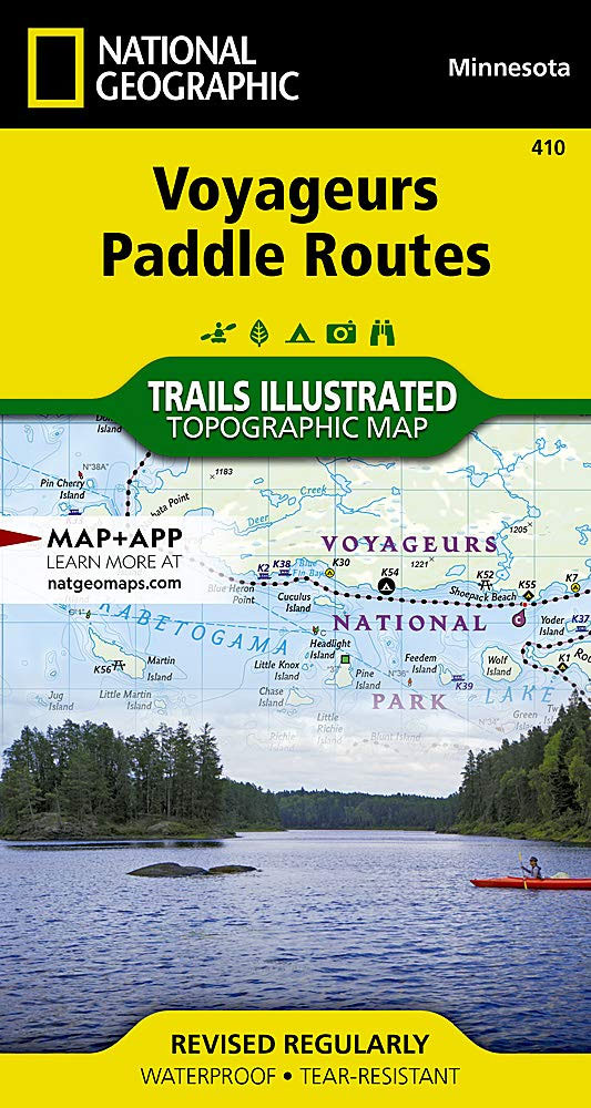
Every Trails Illustrated map is printed on `Backcountry Tough` waterproof, tear-resistant paper. A full UTM grid is printed on the map to aid with GPS navigation.
Chugach State Park – Anchorage AK
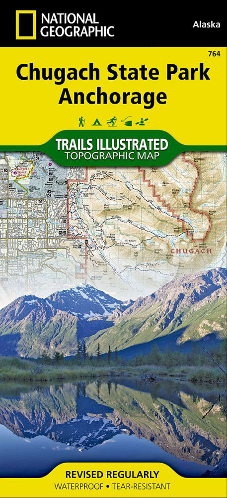
Map No. 764 covering at 1:75,000 the Chugach State Park area of Alaska. The title is part of an extensive series in the National Geographic’s Trails Illustrated imprint of GPS compatible, contoured hiking maps of USA’s national and state parks or forests and other popular recreational areas. Cartography is based on the national topographic survey,
Banff North – Banff and Yoho National Parks
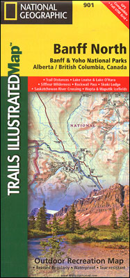
The northern part of the Banff National Park on a double-sided, contoured, GPS compatible recreational map at 1:100,000 from the National Geographic printed on light, waterproof and tear-resistant synthetic paper. Coverage includes Lake Louise, the Saskatchewan River Crossing and the Columbia Icefield.This title is part of a series of four recreational maps of the Banff
Lassen Volcanic National Park CA
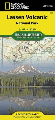
Map No. 268, Lassen Volcanic National Park in California at 1:50,000, part of an extensive series of GPS compatible, contoured hiking maps of USA’s national and state parks or forests and other popular recreational areas. Cartography, based on the national topographic survey, has extensive additional tourist information.The maps, printed on light, waterproof and tear-resistant plastic
Jasper South – Jasper National Park
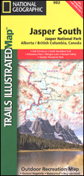
The southern part of the Jasper National Park on a double-sided, contoured, GPS compatible recreational map at 1:100,000 from the National Geographic printed on light, waterproof and tear-resistant synthetic paper. Coverage extends along the Icefields Parkway to just beyond Jasper Village.This title is part of a series of four recreational maps of the Banff and
Bozeman – Big Sky – Bridger Range MT
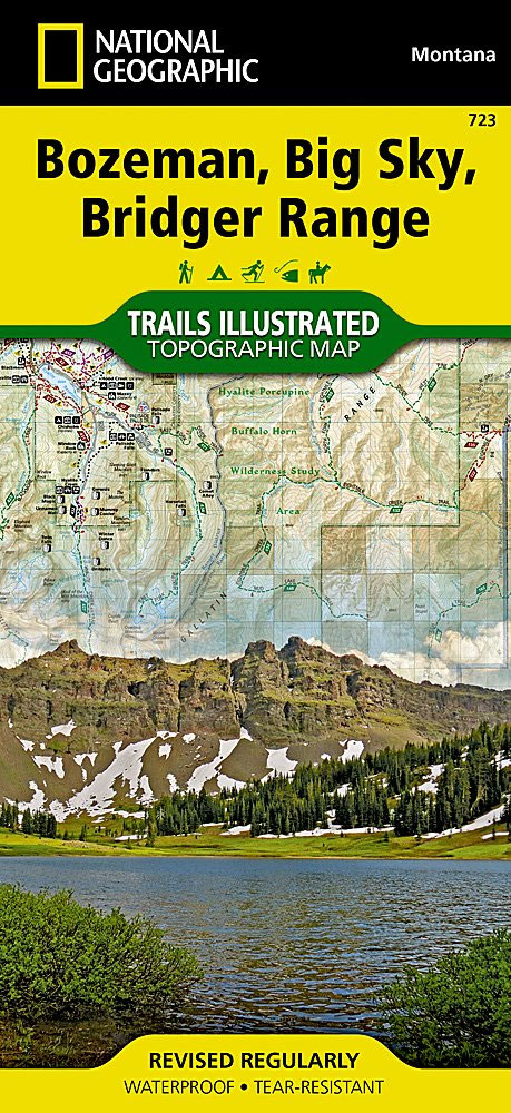
Map No. 723, Bozeman – Big Sky – Bridger Range in Montana at 1:70,000, part of an extensive series of GPS compatible, contoured hiking maps of USA’s national and state parks or forests and other popular recreational areas. Cartography, based on the national topographic survey, has extensive additional tourist information.The maps, printed on light, waterproof
Jasper North – Jasper National Park
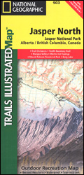
The northern part of the Jasper National Park on a double-sided, contoured, GPS compatible recreational map at 1:100,000 from the National Geographic printed on light, waterproof and tear-resistant synthetic paper. Coverage extends along the Icefields Parkway from Jasper Village and the Yellowhead Highway to the northern boundary of the park.This title is part of a