Category Archives: Maps
Uruguay – Paraguay NGS Adventure Map 3407
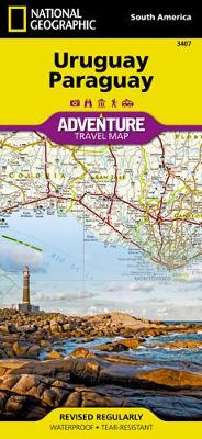
Let National Geographic`s Uruguay and Paraguay Adventure Map guide you as you explore the unique biodiversity, rich history and vibrant culture of these two South American countries. Quickly find your destination with the aid of a user-friendly index of cities and towns. Then plan your route using the mapped road network, complete with distances and
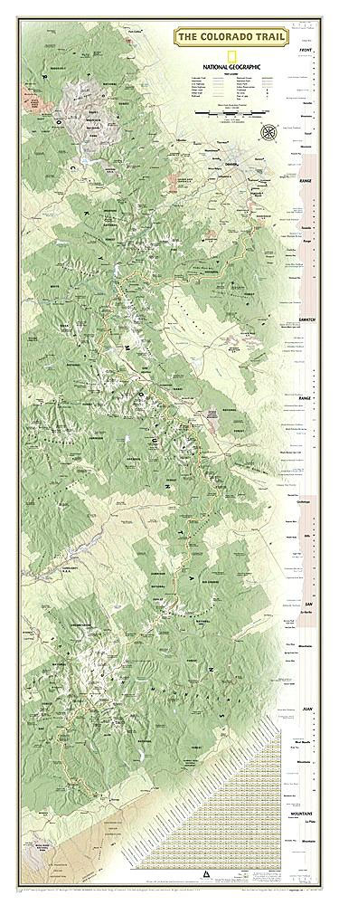
The Colorado Trail NGS Wall Map LAMINATED

National Geographic`s map of the Colorado Trail is ideal for fans and hikers of Colorado`s premier long distance trail. It makes a great planning tool or as reference to track progress on the almost 500 mile trail. This beautiful map shows the entire length of the trail from Durango to Denver as it passes along
Telluride CO Local Trails NGS Map-Guide 603
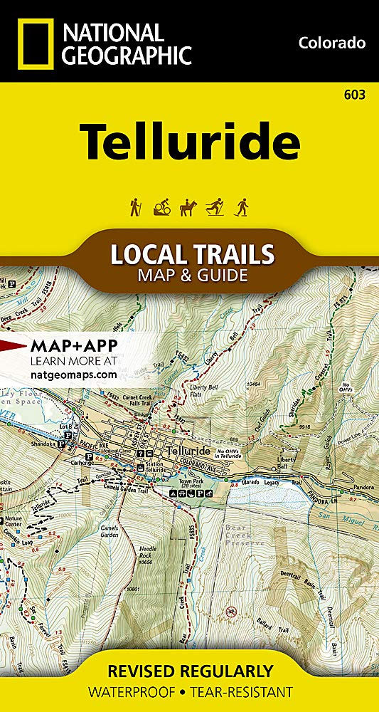
Telluride is known for its world-class skiing, cultural events, and natural beauty. Nestled at the end of a box canyon, surrounded by jagged 13,000 and 14,000-foot peaks’”this tiny, yet charming, community boasts endless opportunities for outdoor adventures. Dozens of trails, ideal for hiking and mountain biking, are easily accessible from town and allow visitors to
The Colorado Trail NGS Wall Map BOXED
National Geographic`s map of the Colorado Trail is ideal for fans and hikers of Colorado`s premier long distance trail. It makes a great planning tool or as reference to track progress on the almost 500 mile trail. This beautiful map shows the entire length of the trail from Durango to Denver as it passes along
Frisco CO Local Trails NGS Map-Guide
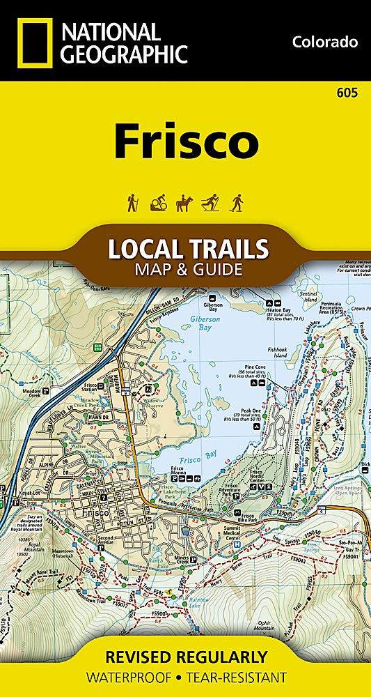
Located at the core of the aptly-named Summit County, where parts of the Front, Tenmile, and Gore Ranges collide, Frisco offers year-round opportunities for adventure. Perched at 9,097 feet on the Dillon Reservoir, just 30 minutes from six world-class ski resorts and surrounded by public lands, Frisco makes an ideal basecamp for outdoor enthusiasts and
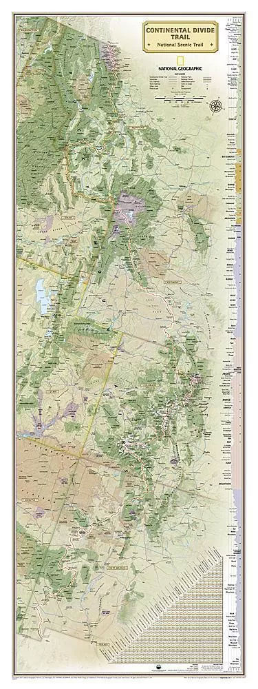
Continental Divide Trail NGS Wall Map LAMINATED

National Geographic`s map of the Continental Divide Trail is ideal for fans and hikers of this magnificent National Scenic Trail. It makes a great planning tool or as reference to track progress on the 3,100 plus mile length. This beautiful map shows the entire length of the trail from Mexico to Canada through New Mexico,
Breckenridge CO Local Trails NGS Map-Guide 606
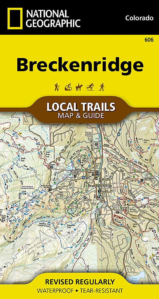
Known largely for its world-class skiing, Breckenridge has endless adventure awaiting the many who flock to experience all this true mountain town has to offer. Perched at 9,600 feet on the Blue River, and resting at the base of the stunning Tenmile Range, this former mining town is paradise for all outdoor enthusiasts. Dozens of
Continental Divide Trail NGS Wall Map BOXED
National Geographic`s map of the Continental Divide Trail is ideal for fans and hikers of this magnificent National Scenic Trail. It makes a great planning tool or as reference to track progress on the 3,100 plus mile length. This beautiful map shows the entire length of the trail from Mexico to Canada through New Mexico,
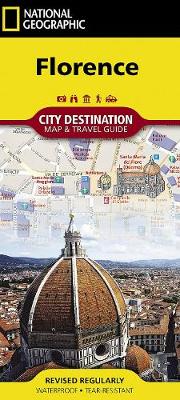
San Francisco NGS City Destination Map
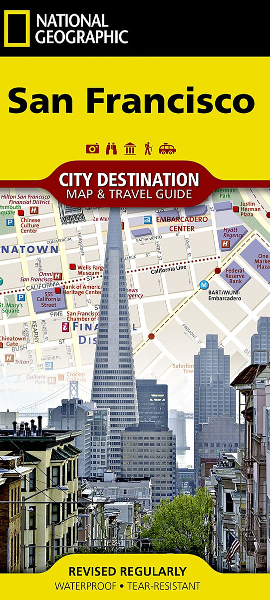
The National Geographic map of San Francisco at 1:10,100 is a durable waterproof city map and transport guide designed for tourism. Clear and easy-to-read street mapping has main attractions highlighted and 3D illustrations of top sights. Hotels, churches, theatres and information points are among the tourist features marked on the map. One-way streets and pedestrian
Tahoe Rim Trail Map-Guide
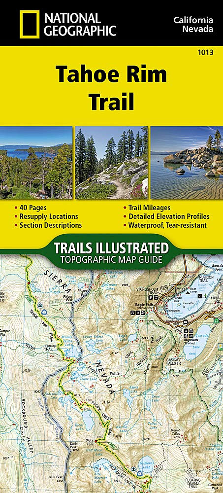
Conceived in 1978 and completed in 2001, the 175-mile Tahoe Rim Trail (TRT) circumnavigates the beautiful Lake Tahoe Basin and traverses some of the most spectacular scenery in the Sierra Nevada and Carson Ranges.For more than 50 miles the TRT coincides with the Pacific Crest Trail (PCT), a national scenic trail extending from Canada to
National Parks of the United States NGS Destination Map
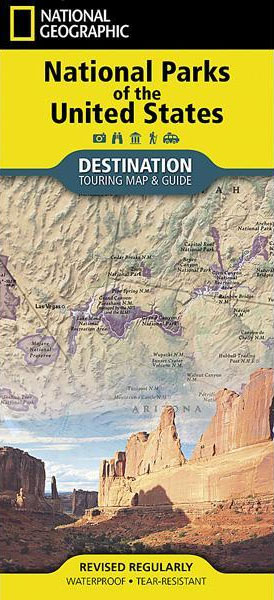
National Geographic`s Destination Map of National Parks of the United States highlights the nearly 400 magnificent parks across America. The country is represented in subtle earth-tones with shaded mountain relief and intricately drawn river systems. Photos capture some of the diverse landscapes preserved and protected by the national park system. A list of all park
Aspen CO Local Trails NGS Map-Guide
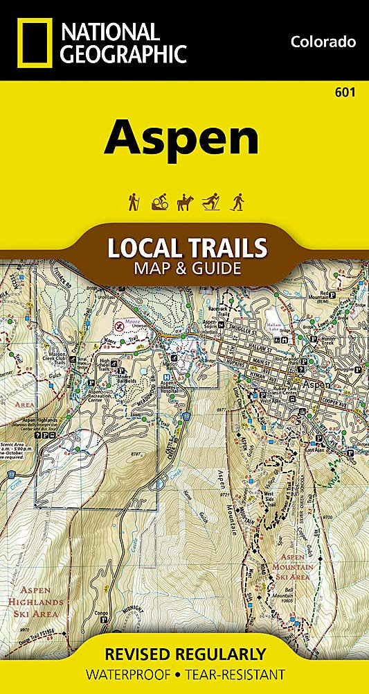
With more than 200 miles of trails just a short distance from town, visitors to Aspen have an enviable problem, with all of these trails to choose from, where should they start? The Aspen Local Trails map helps make sense of the question’”where do the locals go when they want to take a short hike
Tennessee NGS Guide Map
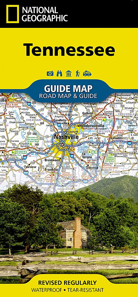
Tennessee in a series of US state maps from the National Geographic with cartography from Mapquest, including city maps of Memphis, Nashville, Chattanooga and Knoxville, enlargements for the Great Smoky Mountains National park including the part in North Carolina and the Land Between the Lakes National Recreation Area with its Kentucky part, plus a scenic
Venice NGS City Destination Map
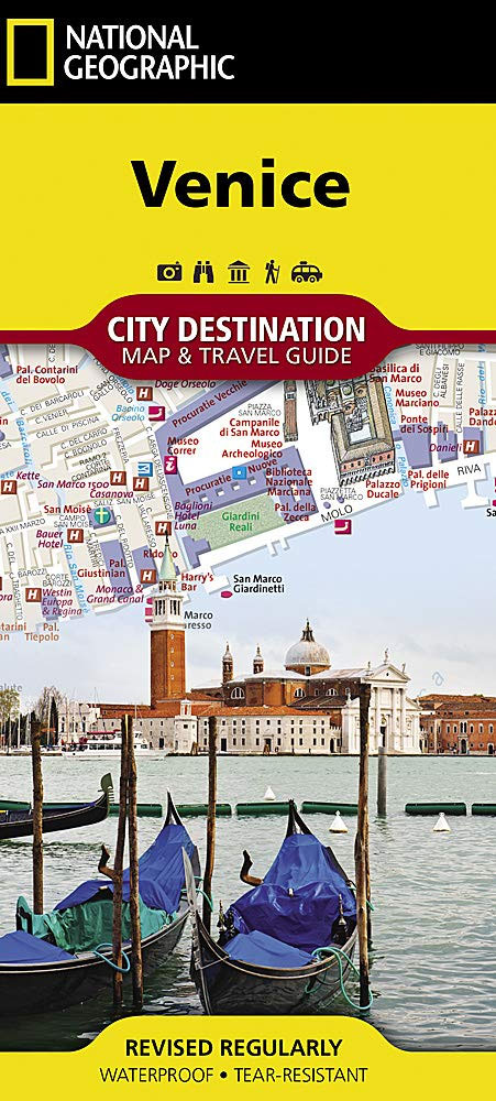
The newly redesigned National Geographic Destination Maps series strikes the perfect balance between map and guidebook, and they are the ideal resource for touring culturally and geographically unique areas. All maps are double-sided with beautiful photos and detailed travel information, including comprehensive road networks, local information and natural, historical and cultural places of interest. The
Texas NGS Guide Map
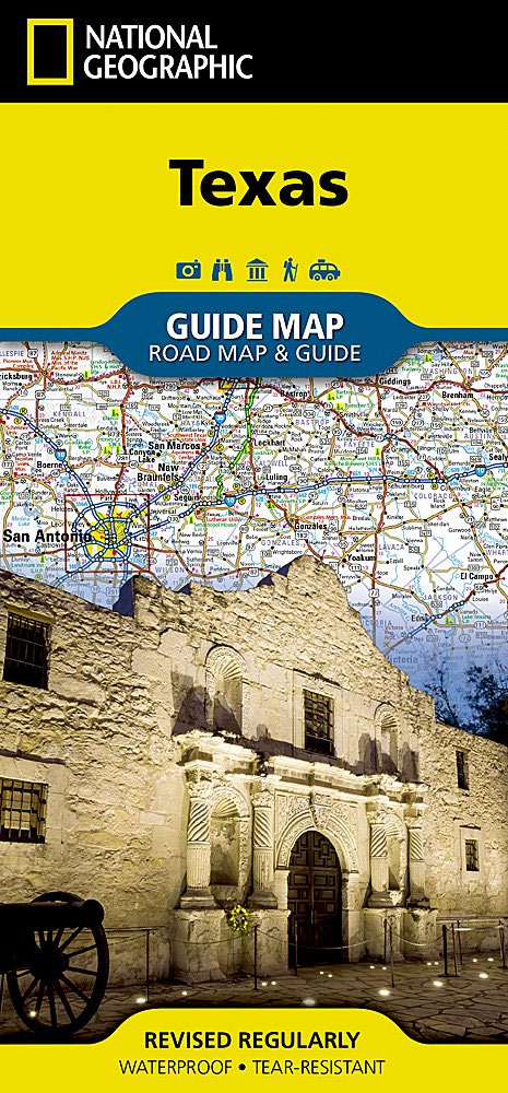
Expertly researched and loaded with helpful information, National Geographic`s Texas Guide Map is a must-have for travelers exploring “The Lone Star State.” In addition to a state map, inset maps provide detail on the Texas Panhandle and the cities of Dallas, Fort Worth, Houston, Amarillo, Abilene, Lubbock, Waco, Laredo, Beaumont, El Paso, Odessa-Midland, McAllen, Corpus

Pacific Crest Trail – Oregon South NGS Topographic Map-Guide 1005
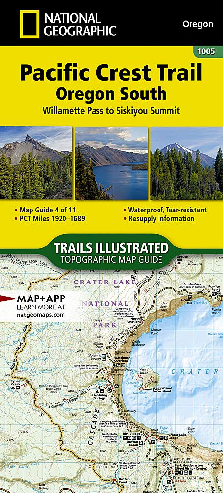
The Pacific Crest Trail (PCT) covered in the Oregon South Topographic Map Guide mostly travels below the high mountain tops and ridges, skirting the bases of the enormous volcanoes of Diamond Peak, Mount Thielsen, and Mount Mazama (home to Crater Lake). Winding south of Ashland and towards the border with California, it enters the Klamath