Category Archives: Maps
Buenos Aires NGS City Destination Map
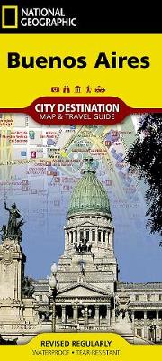
National Geographic`s City Destination map of Buenos Aires combines a city map and travel guide, making it the ultimate travelling companion to Argentina`s capital city. Featured on the front side are a regional map and inset map of Isla Martin Garcia. Find your destination and plan your route using the user friendly index of streets,
Pennsylvania NGS Guide Map
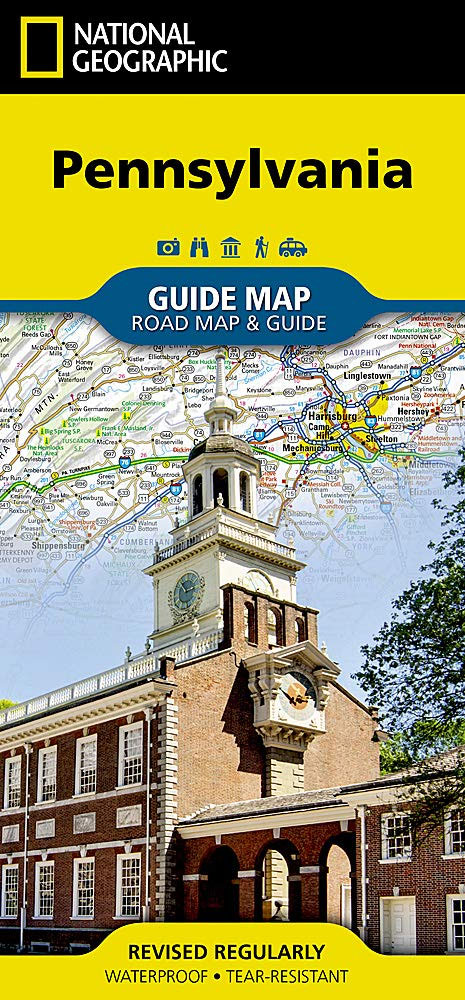
Whether traveling for business or leisure, National Geographic`s Pennsylvania Guide Map is an essential travel companion. Coverage is unparalleled with a comprehensive road map, combined with more than 10 inset maps detailing cities and metropolitan areas, including Philadelphia, Pittsburgh, Allentown ? Bethlehem, Allentown, Reading, Scranton ? Wilkes-Barre, Lancaster, Harrisburg and others. Roads are labeled according
Desolation and Granite Chief Wilderness Areas CA NGS Trails Illustrated Map 802

Every Trails Illustrated map is printed on `Backcountry Tough` waterproof, tear-resistant paper. A full UTM grid is printed on the map to aid with GPS navigation.
Dillon – Silverthorne CO Local Trails NGS Map-Guide 607
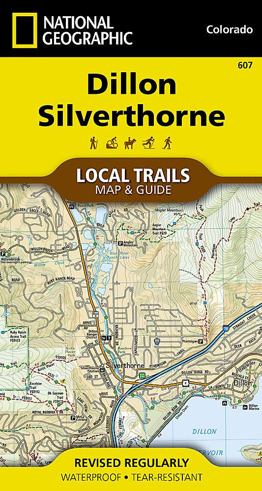
Located in the heart of Summit County’”minutes from the ski slopes of Breckenridge, Keystone, Copper Mountain, and Arapahoe Basin, and on the shores of shimmering Dillon Reservoir’”the mountain towns of Dillon and Silverthorne offer breathtaking views of the Gore and Tenmile Ranges. The location provides countless opportunities for recreation on both water and land.The Dillon
Oregon NGS Guide Map
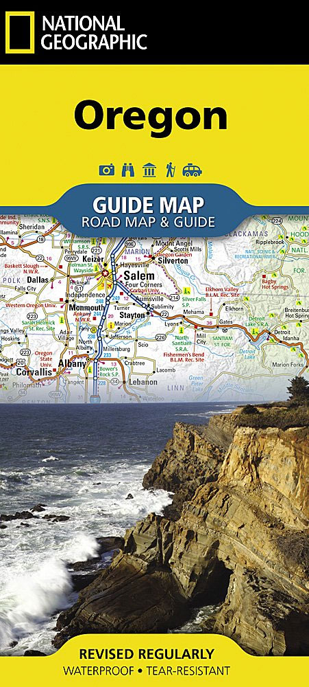
Expertly researched and full of high functional travel information, National Geographic`s Oregon Guide Map combines a comprehensive road map and a travel guide in one easy to use resource. Roads are clearly designated as toll roads, highways, major and secondary routes, and scenic byways. The road network in annotated with mileage markers and points of
North Carolina NGS Guide Map
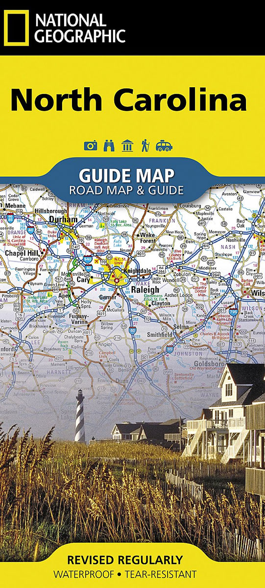
National Geographic`s North Carolina Guide Map is designed to meet the needs of travelers with detailed and accurate cartography and loads of helpful information about the state`s many attractions. Hundreds of points of interest are shown, along with national and state parks, public campsites, visitor information centers, airports, ski areas, hospitals, and more. Cities and
Colorado NGS Guide Map
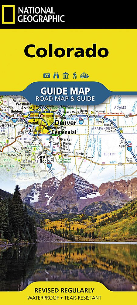
While GPS is handy for navigating unfamiliar cities, there is nothing better than a printed map for simplicity, perspective and fun on road trips. National Geographic`s State Guide Maps are the perfect combination of detailed map and travel guide. Each map contains scenic drives, parks and recreation maps, as well as insets of cities and
Florida NGS Guide Map
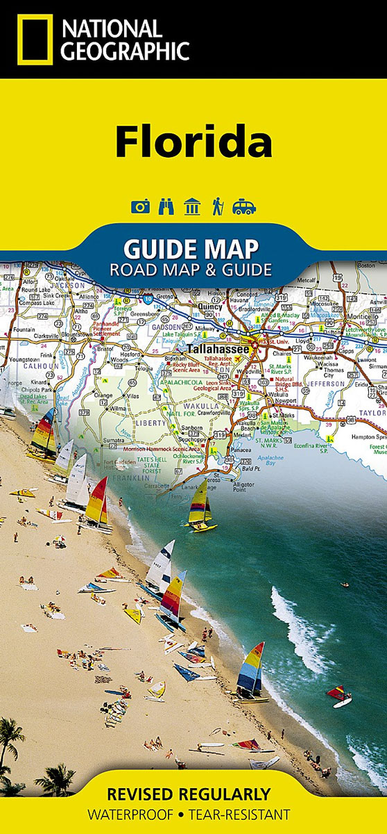
Whether travelling for business or leisure, let National Geographic`s Florida Guide Map lead you on your visit to the Sunshine State. Coverage is unparalleled with one large road map encompassing the entire state and several detailed city and metropolitan area inset maps, including Jacksonville, Miami, Tampa-St. Petersburg, Orlando, Tallahassee, Fort Myers-Cape Coral, Gainesville, Melbourne-Kennedy Space
Chicago NGS City Destination Map
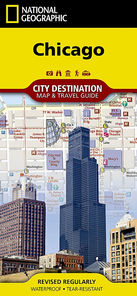
Business and leisure travelers alike will marvel at National Geographic`s City Destination map of Chicago. The main road map covers the city`s downtown area from the Gold Coast Historic District in the north to McCormick Place in the south. Along the way hundreds of popular and lesser know points of interest in pinpointed, including public
London NGS City Destination Map
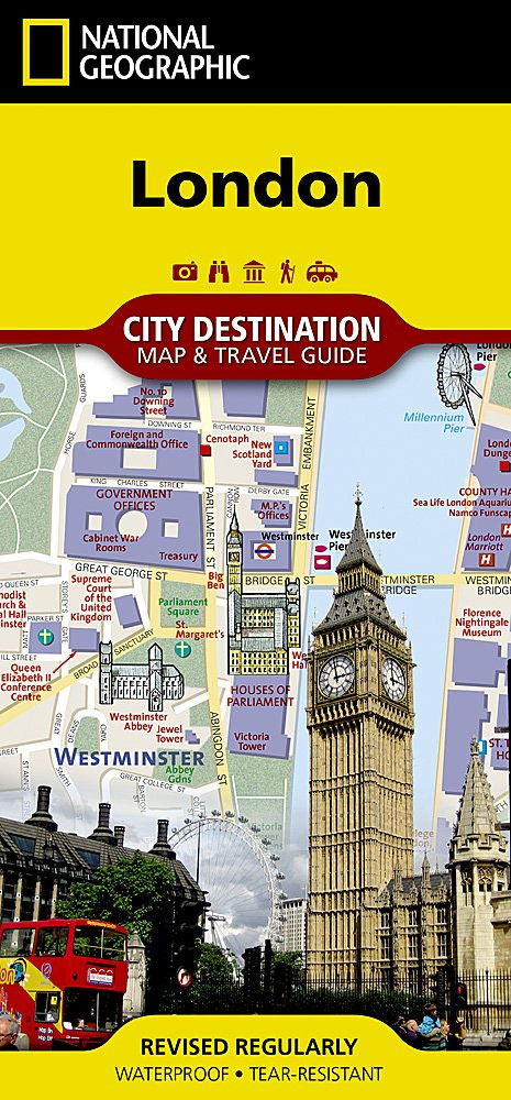
The National Geographic map of London at 1:10,700 is a durable waterproof city map and transport guide designed for tourism. Clear and easy-to-read street mapping has main attractions highlighted and 3D illustrations of top sights. Hotels, churches, theatres and information points are among the tourist features marked on the map. One-way streets and pedestrian areas
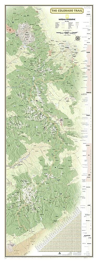
The Colorado Trail NGS Wall Map LAMINATED

National Geographic`s map of the Colorado Trail is ideal for fans and hikers of Colorado`s premier long distance trail. It makes a great planning tool or as reference to track progress on the almost 500 mile trail. This beautiful map shows the entire length of the trail from Durango to Denver as it passes along
Telluride CO Local Trails NGS Map-Guide 603
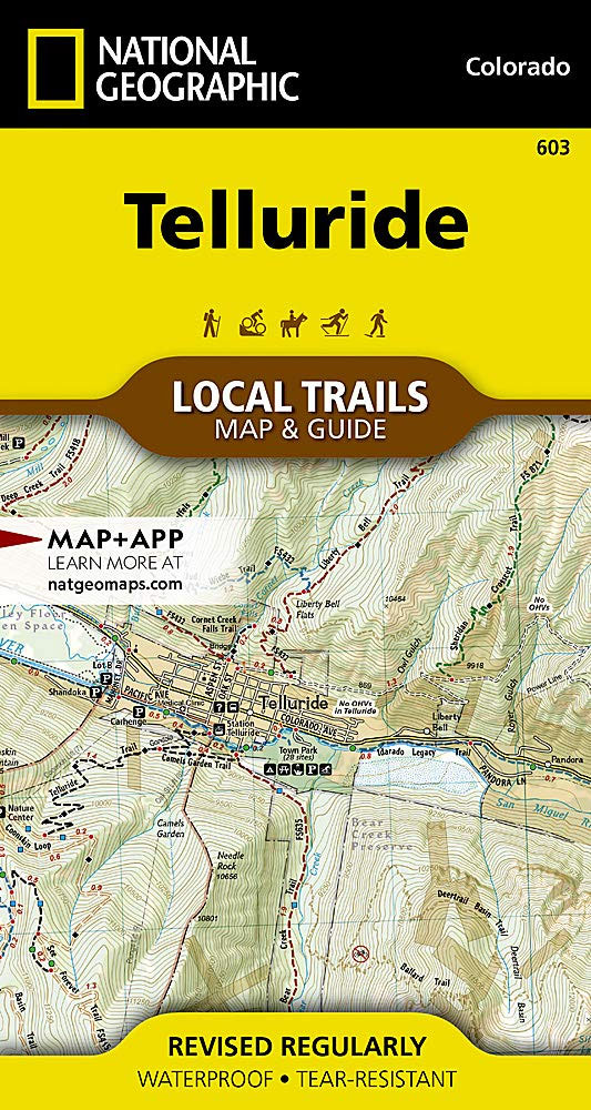
Telluride is known for its world-class skiing, cultural events, and natural beauty. Nestled at the end of a box canyon, surrounded by jagged 13,000 and 14,000-foot peaks’”this tiny, yet charming, community boasts endless opportunities for outdoor adventures. Dozens of trails, ideal for hiking and mountain biking, are easily accessible from town and allow visitors to
The Colorado Trail NGS Wall Map BOXED
National Geographic`s map of the Colorado Trail is ideal for fans and hikers of Colorado`s premier long distance trail. It makes a great planning tool or as reference to track progress on the almost 500 mile trail. This beautiful map shows the entire length of the trail from Durango to Denver as it passes along
Frisco CO Local Trails NGS Map-Guide
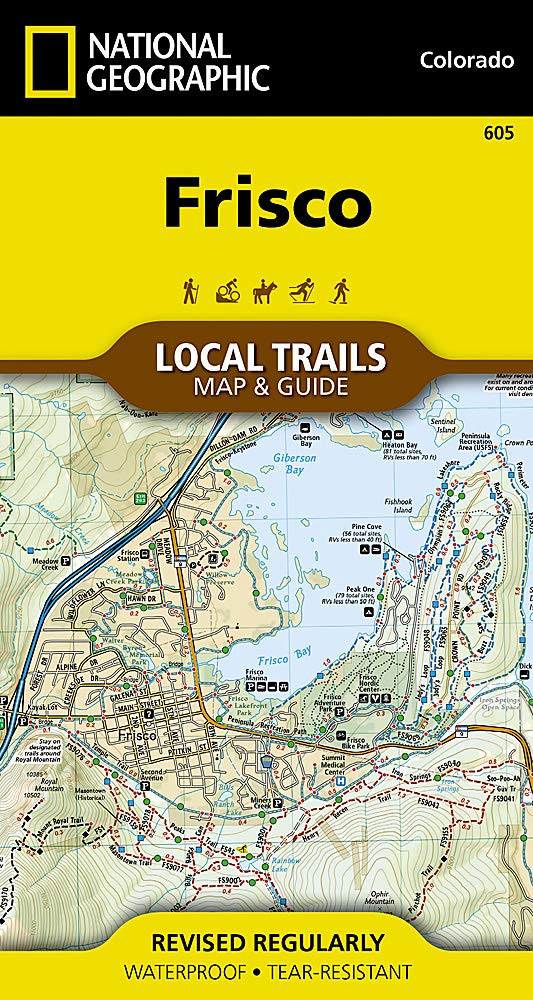
Located at the core of the aptly-named Summit County, where parts of the Front, Tenmile, and Gore Ranges collide, Frisco offers year-round opportunities for adventure. Perched at 9,097 feet on the Dillon Reservoir, just 30 minutes from six world-class ski resorts and surrounded by public lands, Frisco makes an ideal basecamp for outdoor enthusiasts and
Continental Divide Trail NGS Wall Map LAMINATED
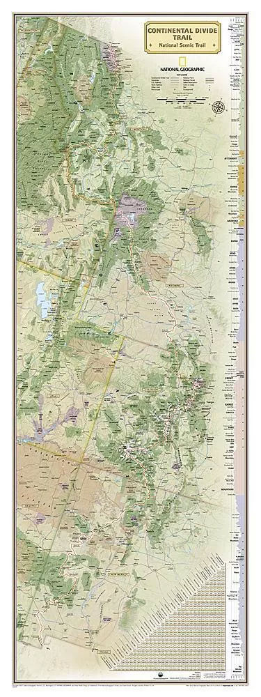
National Geographic`s map of the Continental Divide Trail is ideal for fans and hikers of this magnificent National Scenic Trail. It makes a great planning tool or as reference to track progress on the 3,100 plus mile length. This beautiful map shows the entire length of the trail from Mexico to Canada through New Mexico,
Breckenridge CO Local Trails NGS Map-Guide 606
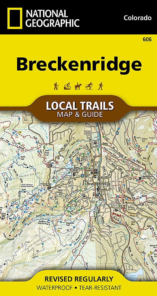
Known largely for its world-class skiing, Breckenridge has endless adventure awaiting the many who flock to experience all this true mountain town has to offer. Perched at 9,600 feet on the Blue River, and resting at the base of the stunning Tenmile Range, this former mining town is paradise for all outdoor enthusiasts. Dozens of