Category Archives: Maps
World Hemispheres NGS Wall Map ENCAPSULATED
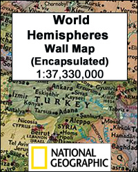
World Hemispheres Wall Map from the National Geographic, encapsulated format – size 109 x 63cm (43″ x 25″ approx), with very attractive presentation of current political information in an elegant antique colouring. Countries are in rich but muted colours and oceans in beige, the style first adopted by the NGS in their very successful Executive
Map of Discovery – Eastern Hemisphere NGS Wall Map PAPER
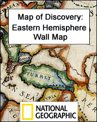
Map of Discovery: the Eastern Hemisphere from the National Geographic, size 51 x 46cm (20″ x 18″) is a reproduction of a decorative map produced by the renowned American artist and illustrator Newell Convers Wyeth. Country boundaries are as at the time of it publication in 1927. On continents and oceans the map shows the
Map of Discovery – Western Hemisphere NGS Wall Map PAPER
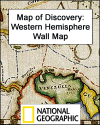
Map of Discovery: the Western Hemisphere from the National Geographic, size 53 x 48cm (21″ x 19″) is a reproduction of a decorative map produced by the renowned American artist and illustrator Newell Convers Wyeth. Country boundaries are as at the time of it publication in 1927. On continents and oceans the map shows the
Arizona
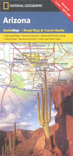
Arizona in a series of US state maps from the National Geographic with cartography from Mapquest, including city maps of the Phoenix conurbation, downtown Phoenix, Tucson, Flagstaff, Yuma and Bullhead City – Laughlin, enlargements of the Grand Canyon, Saguaro and Petrified Forest National Parks, plus a scenic Oak Creek Canyon drive route. The map is
United States NGS Classic Mural Wall Map 3-SHEET PAPER
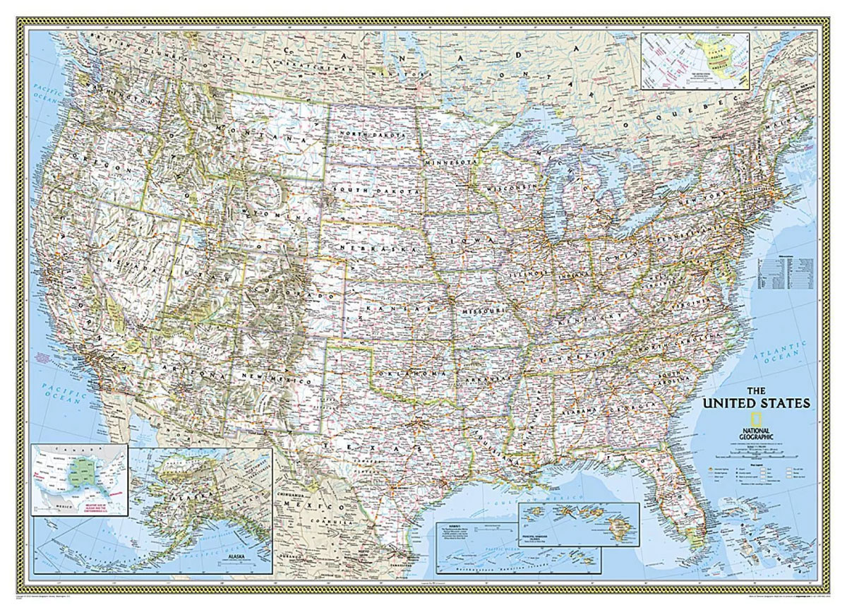
United States NGS Classic Style Mural Map in the *extra large 280 x 193cm / 110″ x 76″ size, 3-sheet paper version* with white background with relief shading for mountains, state boundaries in colour, and the surrounding seas in light blue. The map shows the administrative division of the country, with states boundaries picked out
Costa Rica NGS Wall Map PAPER
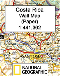
Costa Rica at 1:441,362 on a wall map from the National Geographic Society, paper version, showing different types of the country’s numerous protected areas, from national parks and wildlife refuges to biological reserves and wetlands.Topography is shown by relief shading with colouring indicating forested areas. Boundaries of the country’s numerous protected areas are marked in
Costa Rica NGS Wall Map ENCAPSULATED
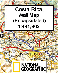
Costa Rica at 1:441,362 on a wall map from the National Geographic Society, encapsulated version, showing different types of the country’s numerous protected areas, from national parks and wildlife refuges to biological reserves and wetlands.Topography is shown by relief shading with colouring indicating forested areas. Boundaries of the country’s numerous protected areas are marked in
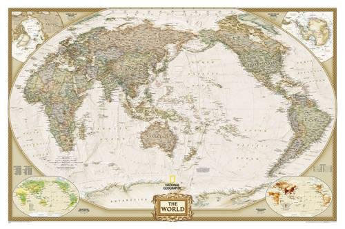
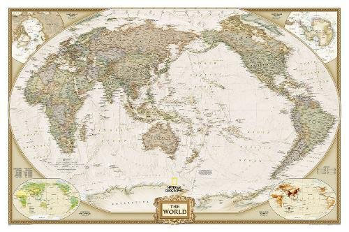
World NGS Executive Pacific-Centered Wall Map PAPER
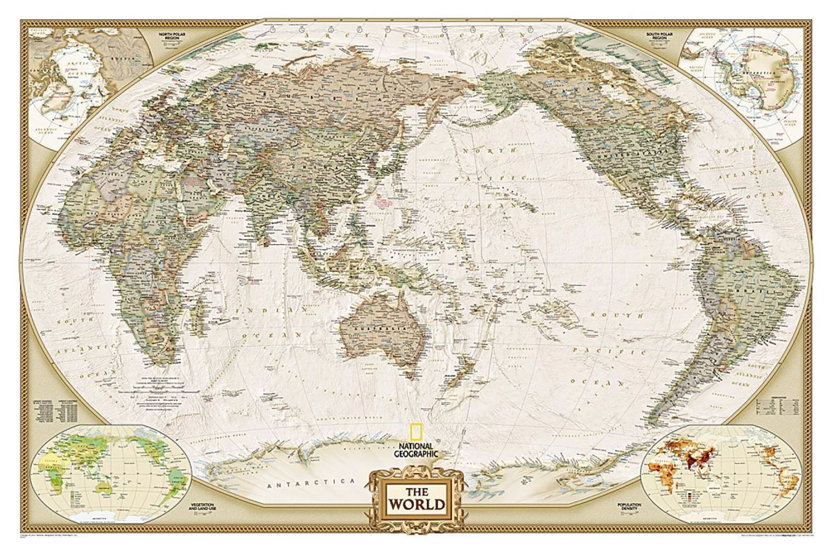
Paper version of the standard size, 112 x 76cm (44″ x 30″ approx), Pacific centred political map of the world in the NGS Executive series which offers current information presented in elegant antique style. Countries are in rich but muted colours and oceans in beige, with additional panels and framing in shades of brown.An unusual
World NGS Executive Pacific-Centered Wall Map ENCAPSULATED
Encapsulated version of the standard size, 112 x 76cm (44″ x 30″ approx), Pacific centred political map of the world in the NGS Executive series which offers current information presented in elegant antique style. Countries are in rich but muted colours and oceans in beige, with additional panels and framing in shades of brown.An unusual
Virginia
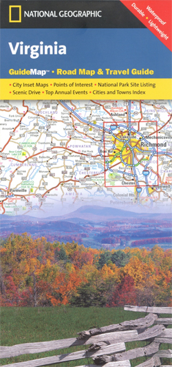
Virginia in a series of US state maps from the National Geographic with cartography from Mapquest, including city maps of Richmond, Charlottesville, Lynchburg, Roanoke, the Hampton – Norfolk – Virginia Beach area and Washington DC with its western environs including Arlington and Alexandria, an enlargement of the Shenandoah National Park, plus a scenic drive route
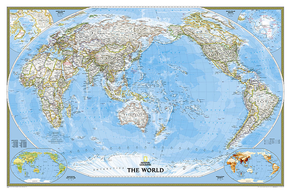
World NGS Classic Pacific-Centered Wall Map LARGE PAPER

NGS Classic political map of the world, Pacific-centred enlarged size 186 x 122cm (73″ x 48″ approx) ‘“ paper version, with the publishers’ characteristic lay-out providing an attractive alternative to the more conventional world maps, countries in white but defined by different colour borders, oceans in bright blue, plus interesting additional features. All place names
California Northern

Northern California in a series of US state maps from the National Geographic with cartography from Mapquest. Coverage extends south beyond the San Francisco Bay area to Fresno. City maps and enlargements cover the Bay Area, downtown San Francisco, Sacramento, Stockton, Yosemite National Park, Redwood National and State Parks, the environs of Lake Tahoe both
World NGS Classic Pacific-Centered Wall Map LARGE ENCAPSULATED
NGS Classic political map of the world, Pacific-centred enlarged size 186 x 122cm (73″ x 48″ approx) ‘“ encapsulated version, with the publishers’ characteristic lay-out providing an attractive alternative to the more conventional world maps, countries in white but defined by different colour borders, oceans in bright blue, plus interesting additional features. All place names
India NGS Classic Wall Map PAPER
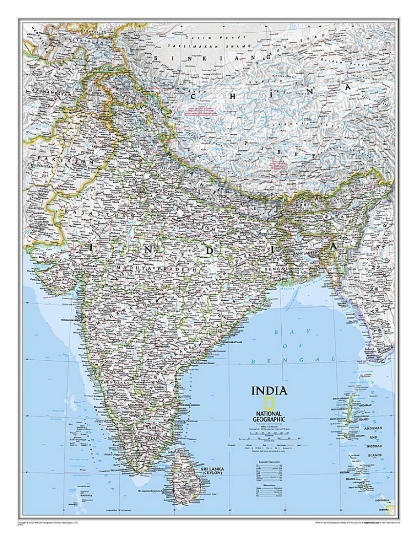
India wall map from the National Geographic Society, size 61 x 76cm (24″ x 30″ approx) ‘“ paper version, in the NGS traditional classic style: on a light base with both internal state boundaries and international borders shown in colour.Coverage includes all of Nepal, Bhutan and Bangladesh, plus most of Tibet, eastern and northern Pakistan,
World NGS Executive Pacific-Centered Wall Map LARGE PAPER
Paper version of the enlarged size, 186 x 122cm (73″ x 48″ approx), Pacific centred political map of the world in the NGS Executive series which offers current information presented in elegant antique style. Countries are in rich but muted colours and oceans in beige, with additional panels and framing in shades of brown.An unusual
India NGS Classic Wall Map ENCAPSULATED

India wall map from the National Geographic Society, size 61 x 76cm (24″ x 30″ approx) ‘“ encapsulated version, in the NGS traditional classic style: on a light base with both internal state boundaries and international borders shown in colour.Coverage includes all of Nepal, Bhutan and Bangladesh, plus most of Tibet, eastern and northern Pakistan,
Vietnamese Memories #1: Leaving Saigon

The testimonies of five family members, over five different periods, as they are respectively forced to leave their home country of Vietnam when outside forces or inner turmoil shatter their normal lives. Each story follows the journey of a family member as they have to leave everything behind, adapt to a new country and culture,
Secret Lives of the U.S. Presidents: Strange Stories and Shocking Trivia from Inside the White House

In this book you ll discover that: Teddy Roosevelt was blinded in a White House boxing match John Quincy Adams loved to skinny-dip in the Potomac River Gerald Ford once worked as a Cosmopolitan magazine cover model Warren G. Harding gambled with White House china when he ran low on cash Jimmy Carter reported a
Everest: The West Ridge
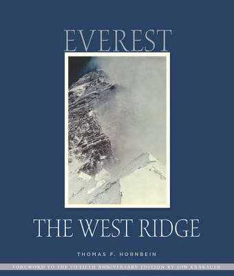
This is the 2013 special anniversary edition to commemorate the 50th anniversary of the first ascent of Mount Everest via the West Ridge which remains the least attempted and most deadly of recognised routes on Everest. In 1963, Jim Whittaker became the first American to summit Everest via the South Col route. Roughly two weeks