Category Archives: Maps
Canada National Parks NGS Wall Map ENCAPSULATED
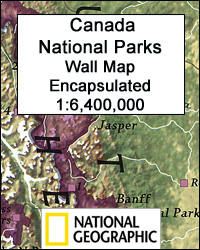
Canada’s 42 National Parks highlighted by the National Geographic on a wall map, encapsulated version – size 106 x 77cm (42″ x 30″ approx), with enlargements for the most popular locations such as Banff or Jasper plus lists of National Historic Sites of Canada, etc. The map presents the country against a light beige background,
Mediterranean Countries NGS Classic Wall Map ENCAPSULATED
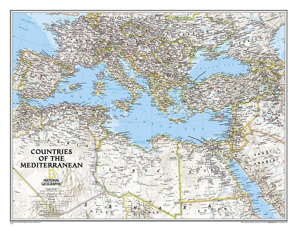
The Mediterranean Sea and the surrounding countries of Europe, Africa and the Middle East on a wall map, size 77 x 59.5cm (30.5″ x 23.5″ approx) ‘“ encapsulated version, with National Geographic’s classic style of presentation: political boundaries outlined in contracting colours while the countries have light shading to indicate their physical geography.Within Europe coverage
Titanic Reference NGS Wall Map PAPER
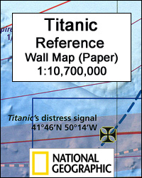
Titanic Reference Wall Map from the National Geographic, paper version ‘“ size 99 x 66cm (39″ x 26″), presenting on one side a map of the Atlantic annotated with shipping routes, sea currents, iceberg lines, etc, plus very extensive text on all aspects relating to the sinking of the ship; on the reverse is more
Titanic Reference NGS Wall Map ENCAPSULATED
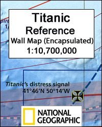
Titanic Reference Wall Map from the National Geographic, encapsulated version ‘“ size 99 x 66cm (39″ x 26″), presenting on one side a map of the Atlantic annotated with shipping routes, sea currents, iceberg lines, etc, plus very extensive text on all aspects relating to the sinking of the ship; on the reverse is more
England and Wales NGS Classic Wall Map PAPER
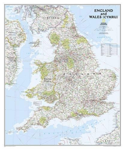
England and Wales NGS Classic Style Wall Map from the National Geographic, size 76 x 91.5cm (30″ x 36″ approx) ‘“ paper version, in the NGS traditional style of presentation with light blue colouring of the sea and country or administrative boundaries in contrasting colours.The map presents the division of the two countries into counties
England and Wales NGS Classic Wall Map ENCAPSULATED
England and Wales NGS Classic Style Wall Map from the National Geographic, size 76 x 91.5cm (30″ x 36″ approx) ‘“ encapsulated version, in the NGS traditional style of presentation with light blue colouring of the sea and country or administrative boundaries in contrasting colours.The map presents the division of the two countries into counties
England and Wales NGS Executive Wall Map PAPER

England and Wales NGS Executive Style Wall Map from the National Geographic, size 76 x 91.5cm (30″ x 36″ approx) ‘“ paper version, designed to present current information in colouring reminiscent of antique maps, with shades of beige and brown.The map presents the division of the two countries into counties and unitary authorities on a
England and Wales NGS Executive Wall Map ENCAPSULATED
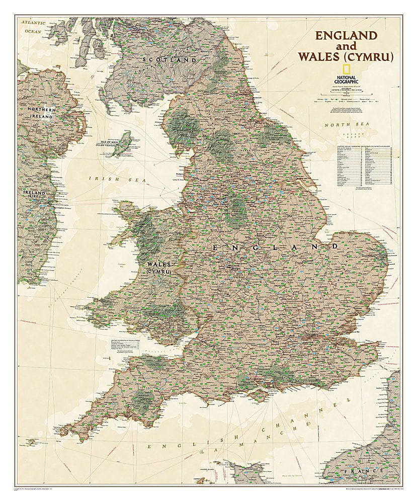
England and Wales NGS Executive Style Wall Map from the National Geographic, size 76 x 91.5cm (30″ x 36″ approx) ‘“ encapsulated version, designed to present current information in colouring reminiscent of antique maps, with shades of beige and brown.The map presents the division of the two countries into counties and unitary authorities on a
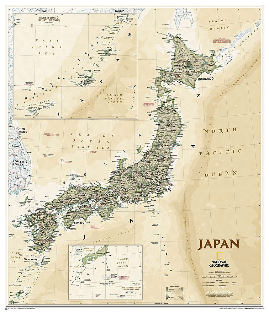
Japan NGS Classic Wall Map PAPER
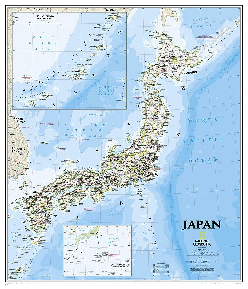
Japan NGS Classic Style Wall Map from the National Geographic, size 63.5 x 74cm (25″ x 29″ approx) ‘“ paper version, in the NGS traditional style of presentation with light blue colouring of the sea and prefecture boundaries in colour.The Ryukyu Islands are shown on an inset at the same scale as the main islands,
Japan NGS Classic Wall Map ENCAPSULATED

Japan NGS Classic Style Wall Map from the National Geographic, size 63.5 x 74cm (25″ x 29″ approx) ‘“ encapsulated version, in the NGS traditional style of presentation with light blue colouring of the sea and prefecture boundaries in colour.The Ryukyu Islands are shown on an inset at the same scale as the main islands,
Japan NGS Executive Wall Map PAPER

Japan NGS Executive Style Wall Map from the National Geographic, size 63.5 x 74cm (25″ x 29″ approx) ‘“ paper version, designed to present current information in colouring reminiscent of antique maps, with shades of beige and brown.The Ryukyu Islands are shown on an inset at the same scale as the main islands, with another
Japan NGS Executive Wall Map ENCAPSULATED
Japan NGS Executive Style Wall Map from the National Geographic, size 63.5 x 74cm (25″ x 29″ approx) ‘“ encapsulated version, designed to present current information in colouring reminiscent of antique maps, with shades of beige and brown.The Ryukyu Islands are shown on an inset at the same scale as the main islands, with another
Caribbean NGS Classic Wall Map ENCAPSULATED

Caribbean NGS Classic Style Wall Map, size 91.5 x 61cm (36″ x 24″ approx), encapsulated version, published by the National Geographic Society in their traditional classic style: countries with a light-coloured base and their borders in different colours. On larger islands, Cuba or Hispaniola, topography is presented by light relief shading with names of mountain
Shipwrecks of the Outer Banks USA NGS Wall Map PAPER
The Shipwrecks of the Outer Banks Wall Map, paper version ‘“ size 71 x 91cm (21 ‘ x 36″), from the National Geographic, covering the ‘Graveyard of the Atlantic” ‘“ the notorious coastline stretching form Cape Henry in Virginia to Cape Fear in North Carolina. For some of the region’s specific points, Cape Hatteras, Ocracoke
Southeast Asia NGS Classic Wall Map PAPER
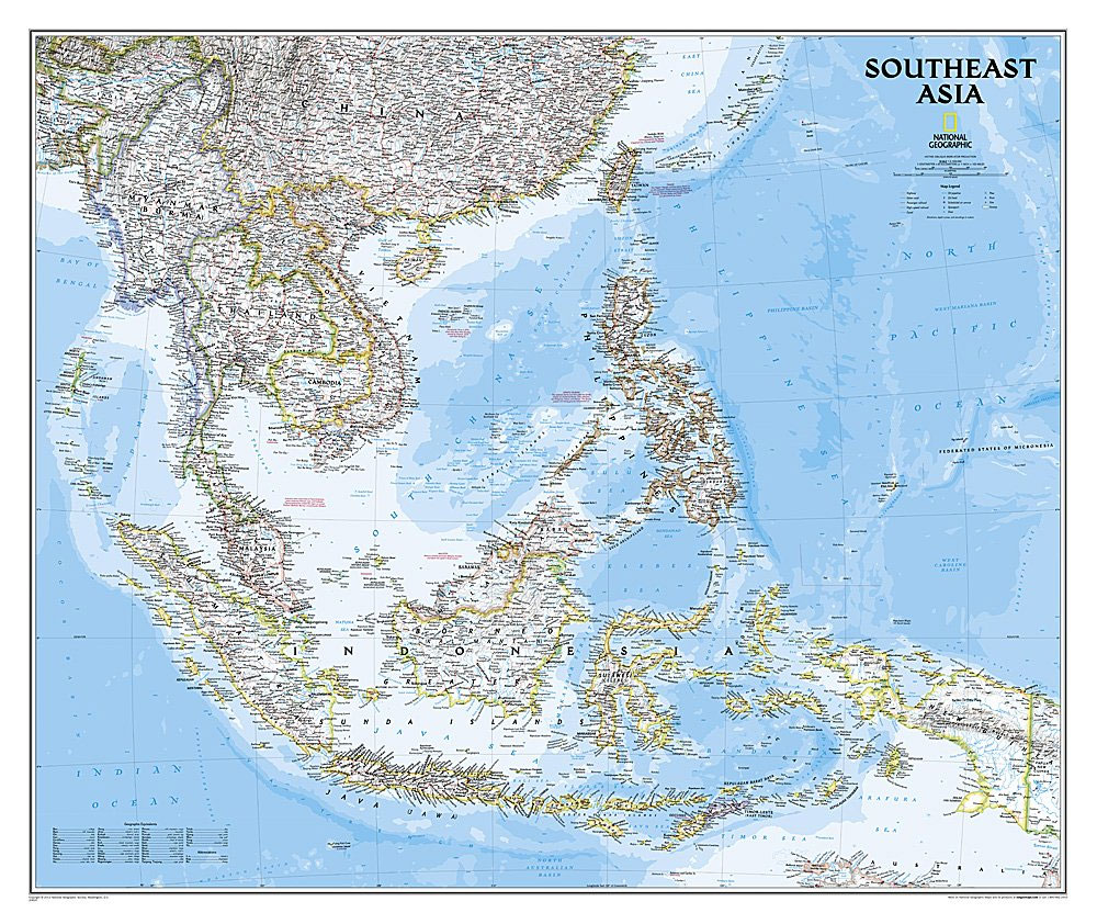
Southeast Asia Classic Wall Map at 1:6,500,000, paper version ‘“ size 96 x 81cm (38″ x 32″ approx), published by National Geographic in their classic style of presentation: country borders outlined in colour against pale background with relief shading to show the topography, and attractive light blue colouring of the surrounding seas. Coverage includes the
Shipwrecks of the Outer Banks USA
The Shipwrecks of the Outer Banks, a folded map from the National Geographic, covering the ‘Graveyard of the Atlantic” ‘“ the notorious coastline stretching form Cape Henry in Virginia to Cape Fear in North Carolina. For some of the region’s specific points, Cape Hatteras, Ocracoke Inlet or Cape Lookout, the map has lists of lost
Southeast Asia NGS Wall Map ENCAPSULATED
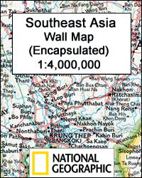
Southeast Asia Classic Wall Map at 1:6,500,000, encapsulated version ‘“ size 96 x 81cm (38″ x 32″ approx), published by National Geographic in their classic style of presentation: country borders outlined in colour against pale background with relief shading to show the topography, and attractive light blue colouring of the surrounding seas. Coverage includes the
World NGS Physical Wall Map POSTER-SIZE PAPER
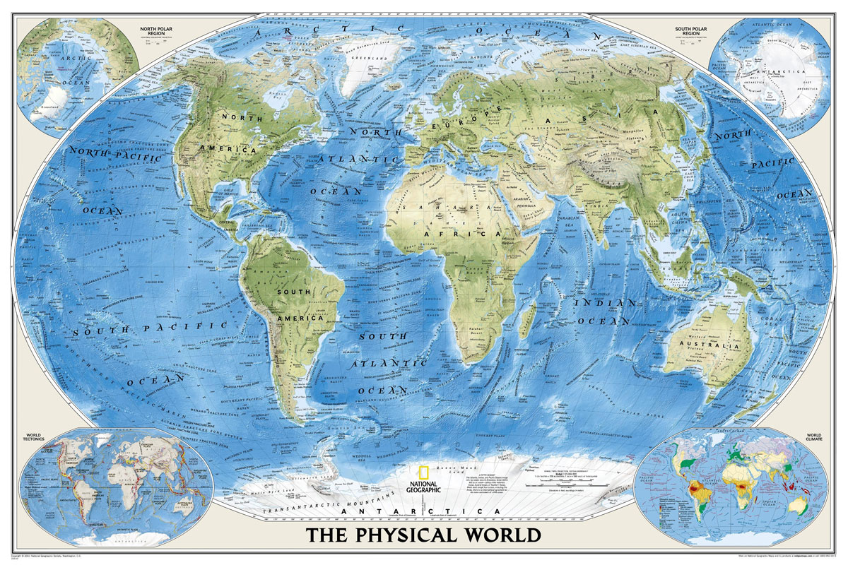
The Physical World wall map from the National Geographic Society, size 92 x 61cm (36″ x 24″ approx), paper version, designed to show not only the physical features of the land masses but also to provide a superb representation of the ocean floor.Altitude colouring and subtle but effective relief shading are used to show the
World NGS Physical Wall Map POSTER-SIZE ENCAPSULATED
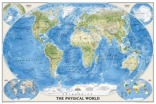
The Physical World wall map from the National Geographic Society, size 92 x 61cm (36″ x 24″ approx), encapsulated version, designed to show not only the physical features of the land masses but also to provide a superb representation of the ocean floor.Altitude colouring and subtle but effective relief shading are used to show the
Sierra Nevada Destination Map
Sierra Nevada on a double-sided road map at 1:543,000 from the National Geographic, highlighting numerous places of interest and printed on light, waterproof and tear resistant synthetic paper. On one side coverage extends from the California/Oregon border to Sacramento and includes the region of Nevada around Lake Tahoe and Pyramid Lake. On the reverse the