Category Archives: Maps
Buffalo Creek Mountain Bike Trails CO
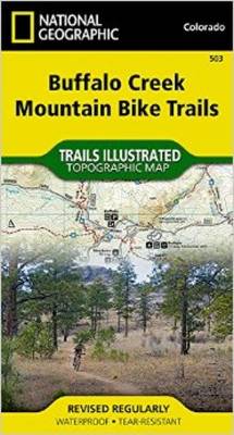
Map No. 503, Buffalo Creek Mountain Bike Trails in Colorado at 1:30,000, part of an extensive series of GPS compatible, contoured hiking maps of USA’s national and state parks or forests and other popular recreational areas. Cartography, based on the national topographic survey, has extensive additional tourist information.The maps, printed on light, waterproof and tear-resistant
Northville-Placid Trail NY
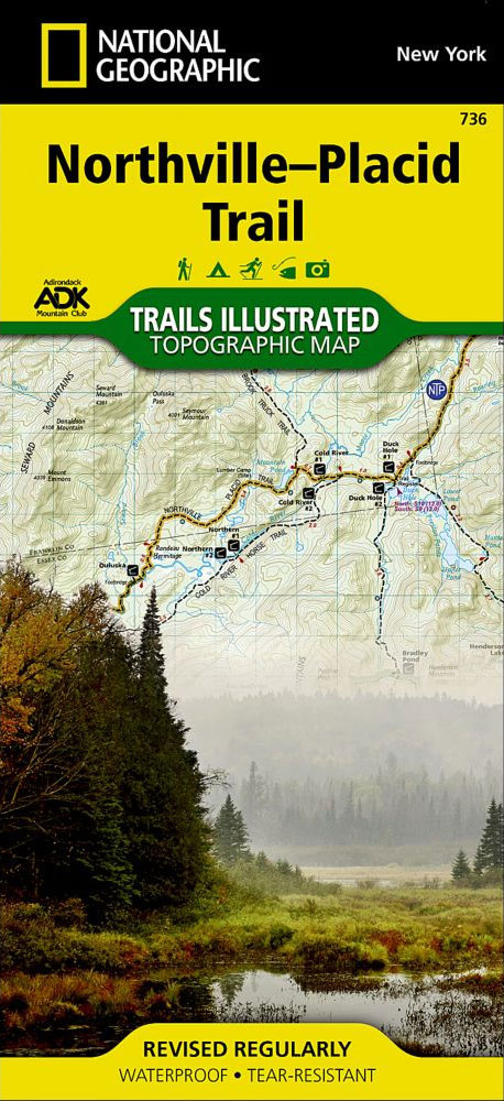
Map No. 736 covering at 1:75,000 the Northville-Placid Trail (NPT) across the Adirondack Park in northern New York State. The title is part of an extensive series in the National Geographic’s Trails Illustrated imprint of GPS compatible, contoured hiking maps of USA’s national and state parks or forests and other popular recreational areas. Cartography is
Cambodia Adventure Map
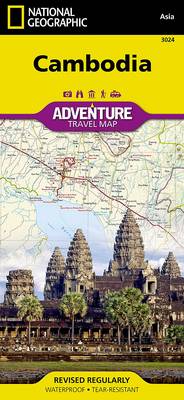
National Geographic Adventure Maps are the most authoritative maps for touring international destinations. Each waterproof and tear-resistant map provides travellers with the perfect combination of detail and perspective, highlighting points of interest for those venturing outside city centres. Visit Cambodia with this National Geographic Adventure Map. Scale : 1:525,000 Flat Size : 959 x 648
Myanmar / Burma Adventure Map
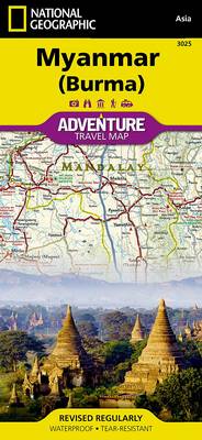
National Geographic Adventure Maps are the most authoritative maps for touring international destinations. Each waterproof and tear-resistant map provides travellers with the perfect combination of detail and perspective, highlighting points of interest for those venturing outside city centres. Visit Myanmar (Burma) with this National Geographic Adventure Map. Scale : 1:1,480,000 Flat Size : 959 x
Canada National Parks NGS Wall Map PAPER
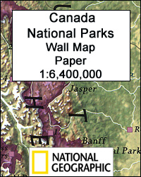
Canada’s 42 National Parks highlighted by the National Geographic on a wall map, paper version – size 106 x 77cm (42″ x 30″ approx), with enlargements for the most popular locations such as Banff or Jasper plus lists of National Historic Sites of Canada, etc. The map presents the country against a light beige background,
Pacific Crest Trail NGS Wall Map ENCAPSULATED
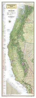
National Geographic Wall Maps offer a special glimpse into current and historical events, and they inform about the world and environment. Offered in a variety of styles and formats, these maps are excellent reference tools and a perfect addition to any home, business or school. There are a variety of map options to choose from,
Canada National Parks
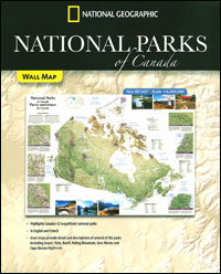
Canada’s 42 National Parks highlighted by the National Geographic on a folded map of the whole country with enlargements for the most popular locations such as Banff or Jasper plus lists of National Historic Sites of Canada, etc. The map presents the country against a light beige background, with its topography indicated by relief shading
Mediterranean Countries NGS Classic Wall Map PAPER

The Mediterranean Sea and the surrounding countries of Europe, Africa and the Middle East on a wall map, size 77 x 59.5cm (30.5″ x 23.5″ approx) ‘“ paper version, with National Geographic’s classic style of presentation: political boundaries outlined in contracting colours while the countries have light shading to indicate their physical geography.Within Europe coverage
Canada National Parks NGS Wall Map ENCAPSULATED
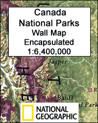
Canada’s 42 National Parks highlighted by the National Geographic on a wall map, encapsulated version – size 106 x 77cm (42″ x 30″ approx), with enlargements for the most popular locations such as Banff or Jasper plus lists of National Historic Sites of Canada, etc. The map presents the country against a light beige background,
Mediterranean Countries NGS Classic Wall Map ENCAPSULATED
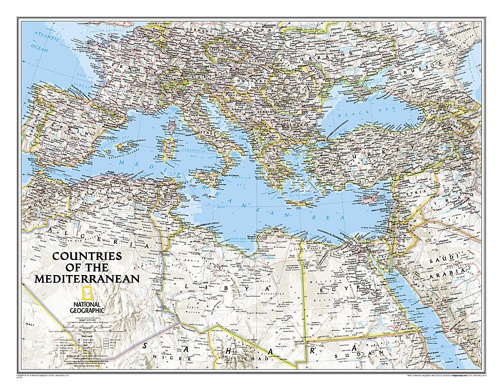
The Mediterranean Sea and the surrounding countries of Europe, Africa and the Middle East on a wall map, size 77 x 59.5cm (30.5″ x 23.5″ approx) ‘“ encapsulated version, with National Geographic’s classic style of presentation: political boundaries outlined in contracting colours while the countries have light shading to indicate their physical geography.Within Europe coverage
Titanic Reference NGS Wall Map PAPER
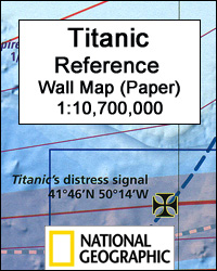
Titanic Reference Wall Map from the National Geographic, paper version ‘“ size 99 x 66cm (39″ x 26″), presenting on one side a map of the Atlantic annotated with shipping routes, sea currents, iceberg lines, etc, plus very extensive text on all aspects relating to the sinking of the ship; on the reverse is more
Titanic Reference NGS Wall Map ENCAPSULATED
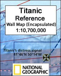
Titanic Reference Wall Map from the National Geographic, encapsulated version ‘“ size 99 x 66cm (39″ x 26″), presenting on one side a map of the Atlantic annotated with shipping routes, sea currents, iceberg lines, etc, plus very extensive text on all aspects relating to the sinking of the ship; on the reverse is more
Cascades Destination Map
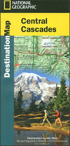
The Cascades in Washington Stare presented at 1:746,000 by the National Geographic in their Destination Map series with highlighting for protected areas and tourist notes, plus on the reverse enlargements showing in more detail three most scenic areas: Mount Rainier, Crater Lake and Columbia River Gorge.Printed on light, waterproof and tear-resistant synthetic paper, the map
Canadian Rockies NGS Destination Map
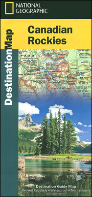
Canadian Rockies on a waterproof and tear-resistant touring map at 1:710,000 from the National Geographic Society vividly presenting the region’s topography and highlighting its numerous national parks and other protected areas, with on the reverse notes on the fauna, recreational possibilities, etc.On one side is the map of the region, extending from the US border
New York`s Finger Lakes Destination Map
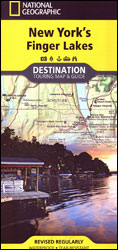
Finger Lakes in the western part of the New York State on a detailed road map at 1:235,000 from the National Geographic, with plenty of tourist information and printed on light, waterproof and tear-resistant synthetic paper. The map covers the region just east of the Niagara Falls, with Rochester and Syracuse towards the top of
Texas Hill Country Destination Map
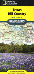
Texas Hill Country on a detailed road map at 1:578,640 from the National Geographic, with plenty of tourist information and printed on light, waterproof and tear-resistant synthetic paper. Coverage extends westwards from the road linking Austin with San Antonio to include the sparsely populated Edwards Plateau.The base map is taken from satellite imagery; protected areas
Wisconsin`s Door Peninsula Destination Map
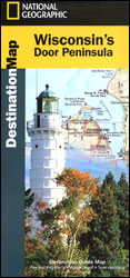
The Door Peninsula in Wisconsin an a detailed map from the National Geographic in the Destination Map series, printed on light, waterproof and tear-resistant synthetic paper. The map presents the peninsula and the nearby islands highlighting protected areas and various places of interest. Latitude and longitude lines are drawn at 7’30″. The Sturgeon Bay area
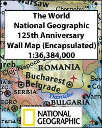
The World – The National Geographic 125th Anniversary Wall Map PAPER
National Geographic’s 125th Anniversary World Wall Map, paper version – size 117 x 77.5cm (46″ x 30.5″ approx). A contemporary political world map with two insets showing the world in 1888 and 1988.This is a present day political map of the world showing countries in pleasant pastel colours. All place names are in their English
The World – The National Geographic 125th Anniversary Wall Map ENCAPSULATED
National Geographic’s 125th Anniversary World Wall Map, encapsulated version – size 117 x 77.5cm (46″ x 30.5″ approx), combining present day and historical world maps; on one side a contemporary political map with two insets showing the world in 1888 and 1988, plus on the reverse a world map published by the Society in 1922.On