Category Archives: Maps
California: Sacramento’“San Joaquin River Delta Adventure Map/Guide
California Delta, along the Sacramento and San Joaquin Rivers between Sacramento, Stockton and the San Pablo Bay, on a waterproof and tear-resistant adventure map from Franko Maps, with enlargements and/or street plans, a table of facilities, a calendar of events, etc.On one side is a map at approx. 1:125,000 covering the area between Sacramento in
Palau Franko`s Adventure & Dive Map-Guide
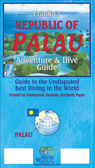
Palau Adventure and Diving Map/Guide from Franko Maps, specialist in maps of various diving locations worldwide, printed on waterproof and tear-resistant synthetic paper, with colour drawings of local fish and plenty of other tourist information.On one side is a map of the whole of Republic of Palau at 1:165,000 highlighting numerous diving locations, with most
Chuuk (Truk) Lagoon Dive & Wreck Map – Operation Hailstone Historical Map
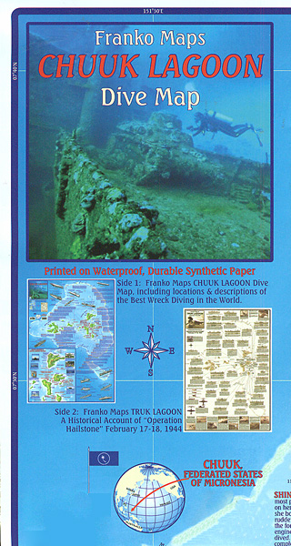
Chuuk Lagoon in the Federated States of Micronesia on a waterproof and tear-resistant map from the diving specialists Franko Maps, with on the reverse a map showing the area with drawings and details of Japanese ships and aircraft deployed during the Operation Hailstone on 17/18th February 1944.On one side are two maps of the Chuuk
Obama`s Oahu
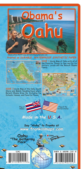
A double-sided, waterproof and tear-resistant map from Franko’s Maps combining coverage of Oahu with more detailed presentation of the island’s south-eastern area, all annotated with notes and photos of relating to Barak Obama’s life in the Makiki neighbourhood of Honolulu and his family’s visits to the island.On one side is a map of Oahu at
Myanmar / Burma Adventure Map
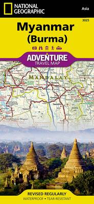
National Geographic Adventure Maps are the most authoritative maps for touring international destinations. Each waterproof and tear-resistant map provides travellers with the perfect combination of detail and perspective, highlighting points of interest for those venturing outside city centres. Visit Myanmar (Burma) with this National Geographic Adventure Map. Scale : 1:1,480,000 Flat Size : 959 x
Blue Ridge Parkway NC/VA Destination Map
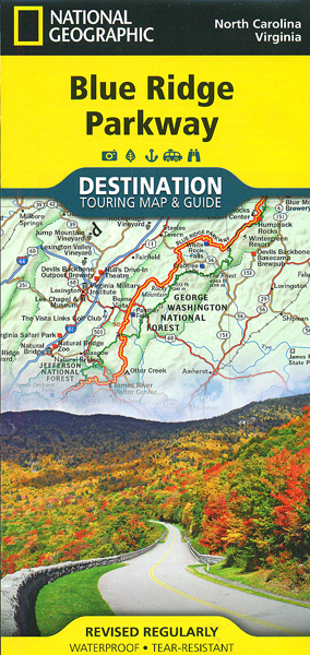
The Blue Ridge Parkway along the Appalachian Mountains on a light, waterproof and tear-resistant map at 1:800,000 from the National Geographic in their Destination Map series with highlighting for protected areas and recreational facilities, tourist notes, etc.On one side the main map shows the course of the Parkway and connecting roads in the Appalachian Mountains,
South Africa NGS Classic Wall Map PAPER
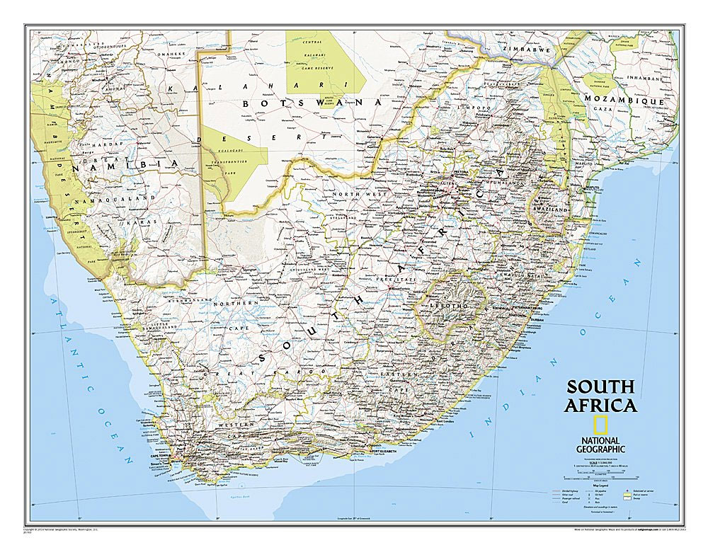
South Africa on a wall map, size 77 x 59.5cm (30.5″ x 23.5″ approx) ‘“ paper version, with National Geographic’s classic style of presentation: political boundaries outlined in contracting colours while light relief shading shows physical geography.Selected main roads, railway connections and airports are marked, as well as the administrative boundaries of the provinces. Topography
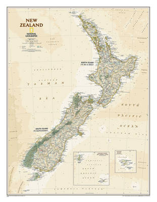
New Zealand NGS Classic Wall Map PAPER
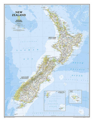
The reference map of New Zealand uses National Geographic`s signature Classic style with blue oceans and stunning shaded relief. The map shows this island nation in great detail, from the subtropical North Island (Te Ika-a-Maui) to the glacial carved valleys of Fiordland on the South Island (Te Waipounamu). The North Island is best known for
South Africa NGS Classic Wall Map ENCAPSULATED
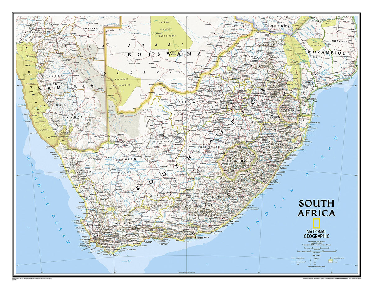
South Africa on a wall map, size 77 x 59.5cm (30.5″ x 23.5″ approx) ‘“ encapsulated version, with National Geographic’s classic style of presentation: political boundaries outlined in contracting colours while light relief shading shows physical geography.Selected main roads, railway connections and airports are marked, as well as the administrative boundaries of the provinces. Topography
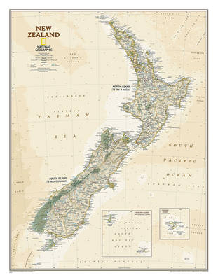
New Zealand NGS Classic Wall Map ENCAPSULATED

The reference map of New Zealand uses National Geographic`s signature Classic style with blue oceans and stunning shaded relief. The map shows this island nation in great detail, from the subtropical North Island (Te Ika-a-Maui) to the glacial carved valleys of Fiordland on the South Island (Te Waipounamu). The North Island is best known for
World NGS Modern Wall Map ENCAPSULATED
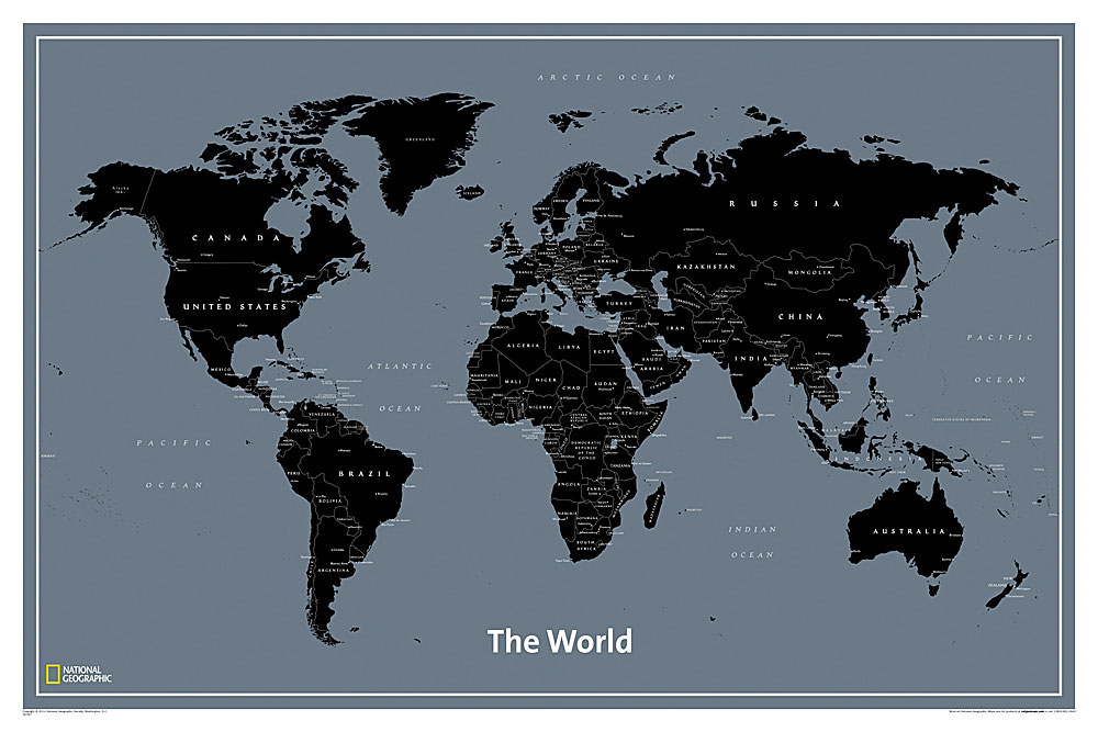
National Geographic`s World Modern wall map features clearly labeled countries, major cities and oceans for easy reference combined with a clean, contemporary design and colour palette. This unique map is a convenient standard poster size and is perfect for home or office.
New Zealand NGS Executive Wall Map PAPER
The reference map of New Zealand uses National Geographic`s Executive style with an antique-style colour palette and stunning shaded relief. The map shows this island nation in great detail, from the subtropical North Island (Te Ika-a-Maui) to the glacial carved valleys of Fiordland on the South Island (Te Waipounamu). The North Island is best known
The World for Kids NGS Wall Map POSTER-SIZE BOXED
The World for Kids wall map is an enticing and engaging world map perfect for classroom, home or library. Recommended by geography educators for ages 7-12, this map features an optimized map design for readability and easy, intuitive learning. All 195 independent countries and their official, colorful flags are represented and arranged in alphabetical order
New Zealand NGS Executive Wall Map ENCAPSULATED
The reference map of New Zealand uses National Geographic`s Executive style with an antique-style colour palette and stunning shaded relief. The map shows this island nation in great detail, from the subtropical North Island (Te Ika-a-Maui) to the glacial carved valleys of Fiordland on the South Island (Te Waipounamu). The North Island is best known
Thailand – Bangkok NGS Adventure Map Pack Bundle
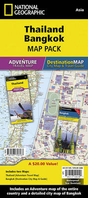
Waterproof, tear-resistant travel map. The Thailand Adventure Map is combined with a Bangkok Destination City map in this Map Pack bundle. The Thailand map is filled with interesting places to visit throughout this amazing country. From the stunning beaches and the sea stacks of Phang Nga Bay through the bustle of Bangkok to the ancient
Jamaica NGS Adventure Map 3116
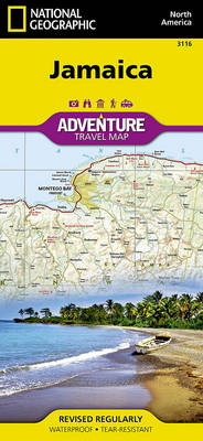
National Geographic Adventure Maps are the most authoritative maps for touring international destinations. Each waterproof and tear-resistant map provides travellers with the perfect combination of detail and perspective, highlighting points of interest for those venturing outside city centres. Visit Jamaica with this National Geographic Adventure Map. Scale : 1:150,000 Flat Size : 959 x 648